

Photo: ผู้สร้างสรรค์ผลงาน/ส่งข้อมูลเก็บในคลังข้อมูลเสรีวิกิมีเดียคอมมอนส์ - เทวประภาส ม · CC BY 3.0 · Wikimedia Commons
Phu Chi FaReport this photo · linked, not stored
Phu Chi FaPhu Chi FaReport this photo · linked, not stored
Phi Pan Nam Range · Phayao · ThailandSummit weather, forecast and climate
Doi Ian
1,178 m
Elevation1,178 mabove sea level
Prominence–independent height
Isolation21 kmto a higher summit
Summit, Jul26°average high
19.70° N, 100.33° EElevation 1,178 mUTC+7 · Indochina Time
From the valley to the top
- Summit1,178 m
- Mid-mountain790 m
- Valley · Chiang Kham396 m
Freezing level in October: above the summit
iThe mountain
Doi Ian in brief
Doi Ian rises to 1,178 m in the Phi Pan Nam Range, Phayao, Thailand.
At the summit, April is the mildest month with average highs of 30°, while nights rarely fall below freezing.
The nearest town in the atlas is Chiang Kham, 20 km to the S at 396 m.
iiForecast
Weather at three heights
Temperatures are adjusted to each height; summits are usually colder and windier than the valley forecast suggests.
Loading the latest forecast…
Loading the latest forecast…
Loading the latest forecast…
iiiSummit climate
The top of Doi Ian by month
Summit temperatures and precipitation
Climate normals for the summit area (~1 km grid), station-adjusted| Month | Jan | Feb | Mar | Apr | May | Jun | Jul | Aug | Sep | Oct | Nov | Dec |
|---|---|---|---|---|---|---|---|---|---|---|---|---|
| Average high | 23° | 26° | 29° | 30° | 28° | 27° | 26° | 26° | 26° | 25° | 23° | 22° |
| Average low | 11° | 14° | 17° | 19° | 20° | 20° | 20° | 20° | 19° | 18° | 14° | 11° |
| Precipitation | 10 mm | 14 mm | 38 mm | 127 mm | 246 mm | 208 mm | 377 mm | 442 mm | 315 mm | 133 mm | 53 mm | 15 mm |
| Cloud cover | 15% | 11% | 13% | 20% | 54% | 82% | 83% | 81% | 62% | 35% | 23% | 17% |
| Daylight | 11h 04 | 11h 30 | 12h 00 | 12h 35 | 13h 03 | 13h 19 | 13h 13 | 12h 49 | 12h 16 | 11h 43 | 11h 13 | 10h 57 |
| Month score | 97 | 93 | 74 | 47 | 45 | 39 | 41 | 43 | 51 | 65 | 85 | 96 |
Snow and freezing level
Average height of the 0 °C level from the summit normals (6.5 °C per km); snow months have a summit mean at or below +1 °C| Month | Jan | Feb | Mar | Apr | May | Jun | Jul | Aug | Sep | Oct | Nov | Dec |
|---|---|---|---|---|---|---|---|---|---|---|---|---|
| Freezing level | 3,800 m | 4,200 m | 4,650 m | 4,950 m | 4,850 m | 4,750 m | 4,700 m | 4,650 m | 4,600 m | 4,450 m | 4,050 m | 3,700 m |
| Summit | above 0 °C | above 0 °C | above 0 °C | above 0 °C | above 0 °C | above 0 °C | above 0 °C | above 0 °C | above 0 °C | above 0 °C | above 0 °C | above 0 °C |
ivTerrain
Doi Ian in 3D
vNeighbours
Mountains of ThailandPeaks nearby
| Mountain | Elevation | Prominence | Distance | July summit high |
|---|---|---|---|---|
| Phu Chi Fa | 1,442 m | – | 21 km NE | 23° |
viBase towns
Where to stay nearby

Around here
Chiang Kham and around
Nature
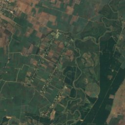
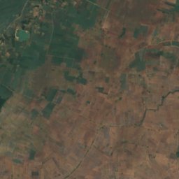
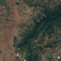
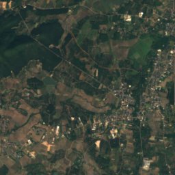
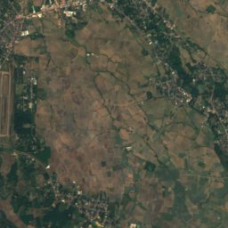
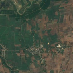
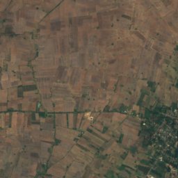
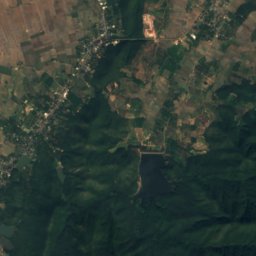
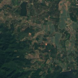
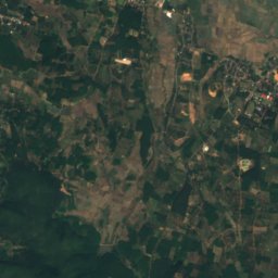
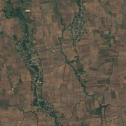
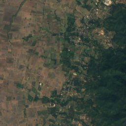
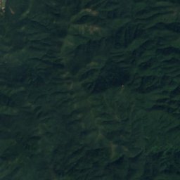
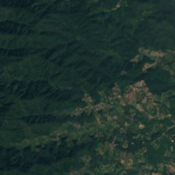
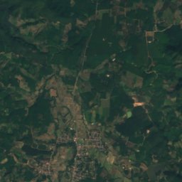
Satellite: Sentinel-2 cloudless 2016 by EOX IT Services GmbH · CC BY 4.0 · Contains modified Copernicus Sentinel data 2016
Ang Kep Nam Huai Mae Tam
Lake

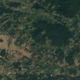
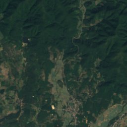
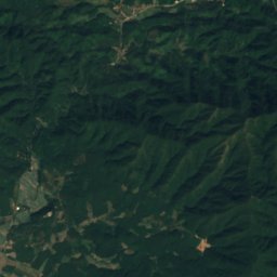
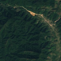
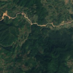
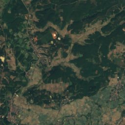
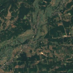
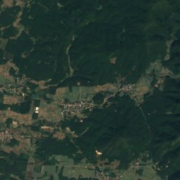
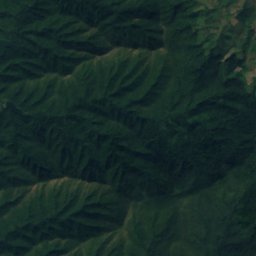
Satellite: Sentinel-2 cloudless 2016 by EOX IT Services GmbH · CC BY 4.0 · Contains modified Copernicus Sentinel data 2016
Phu Sang National Park
National park
Mountains
Photo: ผู้สร้างสรรค์ผลงาน/ส่งข้อมูลเก็บในคลังข้อมูลเสรีวิกิมีเดียคอมมอนส์ - เทวประภาส ม · CC BY 3.0 · Wikimedia CommonsReport this photo · linked, not stored
Phu Chi Fa
1,442 m · Phi Pan Nam Range
Heritage


















Satellite: Sentinel-2 cloudless 2016 by EOX IT Services GmbH · CC BY 4.0 · Contains modified Copernicus Sentinel data 2016
Wat Nan Taram
registered Thai historic site