

Photo: T. Kennedy · Public domain · Wikimedia Commons
MittaghornReport this photo · linked, not stored
MittaghornMittaghornReport this photo · linked, not stored

Photo: Carsten Steger · CC BY-SA 4.0 · Wikimedia Commons
Breithorn (Blatten)Report this photo · linked, not stored
Breithorn (Blatten)Breithorn (Blatten)Report this photo · linked, not stored

Photo: Jo in Riederalp · CC BY-SA 3.0 · Wikimedia Commons
BalmhornReport this photo · linked, not stored
BalmhornBalmhornReport this photo · linked, not stored
Bernese Prealps · Bern · SwitzerlandSummit weather, forecast and climate
Bunderspitz
2,546 mSnow likely Jan–Apr · Nov–Dec
Elevation2,546 mabove sea level
Prominence98 mindependent height
Isolation0.8 kmto a higher summit
Summit, Jul13°average high
46.49° N, 7.62° EElevation 2,546 mUTC+1 · Central European Standard Time
From the valley to the top
- Summit2,546 m
- Mid-mountain1,860 m
- Valley · Kandersteg1,172 m
Freezing level in October: above the summit
iThe mountain
Bunderspitz in brief
Bunderspitz rises to 2,546 m in the Bernese Prealps, Bern, Switzerland. Its topographic prominence — the height it stands above the lowest contour enclosing a higher summit — is 98 m.
At the summit, July is the mildest month with average highs of 13°, while nights fall below freezing in 8 months of the year. Daytime highs climb above zero from April to November.
The nearest town is Kandersteg, 4.1 km to the E at 1,172 m.
Facts
- Elevation
- 2,546 m · 8,353 ft
- Prominence
- 98 m
- Range
- Bernese Prealps
- Region
- Bern
- Country
- Switzerland
- Coordinates
- 46.4924, 7.6203
- Nearest airport
- Bern Airport (BRN) · 48 km
iiForecast
Weather at three heights
Temperatures are adjusted to each height; summits are usually colder and windier than the valley forecast suggests.
Loading the latest forecast…
Loading the latest forecast…
Loading the latest forecast…
iiiSummit climate
The top of Bunderspitz by month
Summit temperatures and precipitation
Climate normals for the summit area (~1 km grid), station-adjusted| Month | Jan | Feb | Mar | Apr | May | Jun | Jul | Aug | Sep | Oct | Nov | Dec |
|---|---|---|---|---|---|---|---|---|---|---|---|---|
| Average high | -3° | -2° | -1° | 2° | 6° | 10° | 13° | 12° | 9° | 6° | 1° | -2° |
| Average low | -15° | -10° | -7° | -4° | 0° | 3° | 5° | 6° | 3° | 0° | -7° | -15° |
| Precipitation | 147 mm | 126 mm | 149 mm | 132 mm | 192 mm | 204 mm | 217 mm | 209 mm | 153 mm | 143 mm | 145 mm | 172 mm |
| Cloud cover | 43% | 45% | 47% | 48% | 46% | 45% | 40% | 41% | 43% | 43% | 47% | 46% |
| Daylight | 8h 59 | 10h 20 | 11h 51 | 13h 33 | 14h 59 | 15h 48 | 15h 28 | 14h 13 | 12h 36 | 10h 58 | 9h 26 | 8h 36 |
| Month score | 20 | 19 | 18 | 18 | 18 | 19 | 34 | 32 | 20 | 20 | 18 | 18 |
Snow and freezing level
Average height of the 0 °C level from the summit normals (6.5 °C per km); snow months have a summit mean at or below +1 °C| Month | Jan | Feb | Mar | Apr | May | Jun | Jul | Aug | Sep | Oct | Nov | Dec |
|---|---|---|---|---|---|---|---|---|---|---|---|---|
| Freezing level | 1,200 m | 1,650 m | 2,000 m | 2,350 m | 2,950 m | 3,600 m | 3,900 m | 3,900 m | 3,400 m | 3,000 m | 2,050 m | 1,250 m |
| Summit | ❄ snow | ❄ snow | ❄ snow | ❄ snow | above 0 °C | above 0 °C | above 0 °C | above 0 °C | above 0 °C | above 0 °C | ❄ snow | ❄ snow |
ivTerrain
Bunderspitz in 3D
vNeighbours
Mountains of SwitzerlandPeaks nearby
| Mountain | Elevation | Prominence | Distance | July summit high |
|---|---|---|---|---|
| Bietschhorn | 3,934 m | 807 m | 21 km SE | 4° |
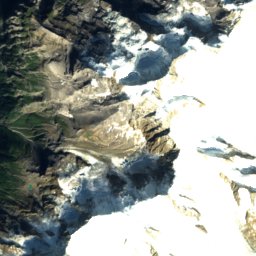
| Mittaghorn | 3,893 m | 197 m | 24 km E | 3° |
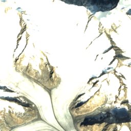
| Breithorn (Blatten) | 3,785 m | 282 m | 23 km E | 4° |
| Breithorn (Lauterbrunnen) | 3,780 m | 464 m | 20 km E | 4° |
| Grosshorn | 3,754 m | 194 m | 22 km E | 4° |
| Anungrat | 3,691 m | – | 25 km E | 5° |
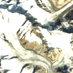
| Balmhorn | 3,690 m | 1,013 m | 9.4 km SE | 5° |
| Blüemlisalp | 3,661 m | 874 m | 12 km E | 4° |
viBase towns
Where to stay nearby


·Hiking
Hikes nearby
Routes that pass within about a kilometre of the summit.
Around here
Kandersteg and around
Nature

Photo: © Günter Seggebäing, CC BY-SA 3.0 · CC BY-SA 3.0 · Wikimedia CommonsReport this photo · linked, not stored
Oeschinen Lake
Lake · 1,578 m


Mountains


Heritage

Church of Mary
Swiss cultural property of cantonal or local significance · 1927

Adelboden village church
class B Swiss cultural property of regional significance · 1433

Photo: Johannes Löw (WP.de: Mo4jolo) · CC BY-SA 2.5 · Wikimedia CommonsReport this photo · linked, not stored
Kippel
Swiss townscape worthy of protection
Museums






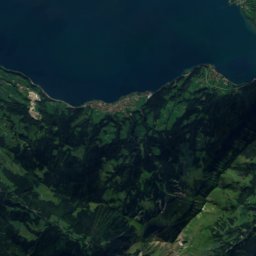
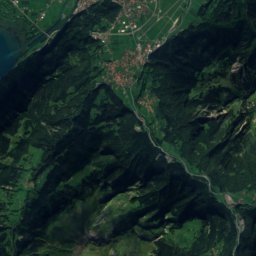
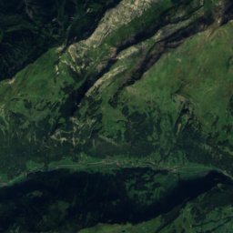
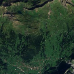
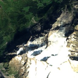
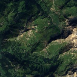
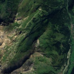
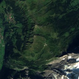
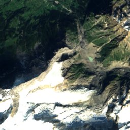
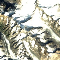
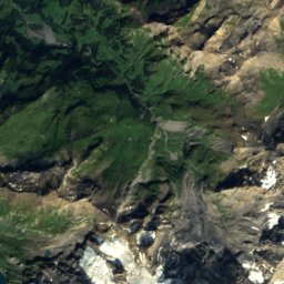
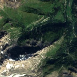
Satellite: Sentinel-2 cloudless 2016 by EOX IT Services GmbH · CC BY 4.0 · Contains modified Copernicus Sentinel data 2016
Heimatmuseum Adelboden
Local museum