
Photo: Neo Montclar · CC BY-SA 4.0 · Wikimedia Commons
RocallargaReport this photo · linked, not stored
RocallargaReport this photo · linked, not stored

Photo: Catalaalatac · CC BY-SA 4.0 · Wikimedia Commons
Les AgudesReport this photo · linked, not stored
Les AgudesLes AgudesReport this photo · linked, not stored
 Matagalls

Photo: Pere López · CC BY-SA 3.0 · Wikimedia Commons
Turó de la Bandera, ViladrauReport this photo · linked, not stored
Turó de la Bandera, ViladrauTuró de la Bandera, ViladrauReport this photo · linked, not stored

Photo: Pere López · CC BY-SA 3.0 · Wikimedia Commons
Turó SesportadoresReport this photo · linked, not stored
Turó SesportadoresTuró SesportadoresReport this photo · linked, not stored
Guilleries · Catalonia · SpainSummit weather, forecast and climate
Rocallarga
1,187 m
Elevation1,187 mabove sea level
Prominence8 mindependent height
Isolation0.3 kmto a higher summit
Summit, Jul25°average high
42.01° N, 2.45° EElevation 1,187 mUTC+1 · Central European Standard Time
From the valley to the top
- Summit1,187 m
- Mid-mountain1,020 m
- Valley · Rupit845 m
Freezing level in October: above the summit
iThe mountain
Rocallarga in brief
Rocallarga rises to 1,187 m in the Guilleries, Catalonia, Spain. Its topographic prominence — the height it stands above the lowest contour enclosing a higher summit — is 8 m.
At the summit, August is the mildest month with average highs of 25°, while nights fall below freezing in 3 months of the year.
The nearest town is Rupit, 2.3 km to the NE at 845 m.
iiForecast
Weather at three heights
Temperatures are adjusted to each height; summits are usually colder and windier than the valley forecast suggests.
Loading the latest forecast…
Loading the latest forecast…
Loading the latest forecast…
iiiSummit climate
The top of Rocallarga by month
Summit temperatures and precipitation
Climate normals for the summit area (~1 km grid), station-adjusted| Month | Jan | Feb | Mar | Apr | May | Jun | Jul | Aug | Sep | Oct | Nov | Dec |
|---|---|---|---|---|---|---|---|---|---|---|---|---|
| Average high | 9° | 10° | 13° | 14° | 18° | 22° | 25° | 25° | 21° | 17° | 12° | 10° |
| Average low | -1° | -1° | 1° | 3° | 6° | 10° | 13° | 13° | 10° | 7° | 2° | 0° |
| Precipitation | 68 mm | 69 mm | 86 mm | 102 mm | 132 mm | 124 mm | 84 mm | 108 mm | 125 mm | 119 mm | 80 mm | 90 mm |
| Cloud cover | 38% | 40% | 41% | 42% | 43% | 37% | 26% | 30% | 38% | 43% | 41% | 38% |
| Daylight | 9h 27 | 10h 35 | 11h 53 | 13h 20 | 14h 33 | 15h 13 | 14h 57 | 13h 54 | 12h 31 | 11h 08 | 9h 50 | 9h 08 |
| Month score | 36 | 35 | 43 | 48 | 61 | 64 | 76 | 69 | 64 | 57 | 43 | 30 |
Snow and freezing level
Average height of the 0 °C level from the summit normals (6.5 °C per km); snow months have a summit mean at or below +1 °C| Month | Jan | Feb | Mar | Apr | May | Jun | Jul | Aug | Sep | Oct | Nov | Dec |
|---|---|---|---|---|---|---|---|---|---|---|---|---|
| Freezing level | 1,800 m | 1,850 m | 2,250 m | 2,550 m | 3,000 m | 3,650 m | 4,100 m | 4,150 m | 3,500 m | 3,000 m | 2,300 m | 1,950 m |
| Summit | above 0 °C | above 0 °C | above 0 °C | above 0 °C | above 0 °C | above 0 °C | above 0 °C | above 0 °C | above 0 °C | above 0 °C | above 0 °C | above 0 °C |
ivTerrain
Rocallarga in 3D
vNeighbours
Mountains of SpainPeaks nearby
| Mountain | Elevation | Prominence | Distance | July summit high |
|---|---|---|---|---|
| Les Agudes | 1,705 m | 62 m | 25 km S | 23° |
| Matagalls | 1,697 m | 597 m | 23 km S | 23° |
| Turó de la Bandera, Viladrau | 1,658 m | – | 24 km S | 23° |
| Turó Sesportadores | 1,603 m | 69 m | 23 km S | 23° |
| Turó del Mig, Viladrau | 1,582 m | 12 m | 22 km S | 23° |
| Turó de Morera | 1,576 m | 12 m | 24 km S | 23° |
| Turó Gros del Pujol | 1,552 m | – | 22 km S | 24° |
| Santa Magdalena de Cambrils | 1,547 m | – | 20 km NW | 23° |
viBase towns
Where to stay nearby


Around here
Rupit and around
Nature


Photo: Angela Llop from Spain · CC BY-SA 2.0 · Wikimedia CommonsReport this photo · linked, not stored
Susqueda Reservoir
Lake · 351 m

Mountains


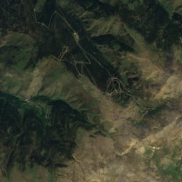
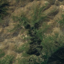
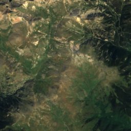
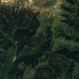
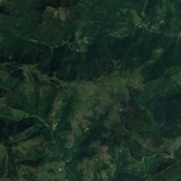
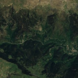
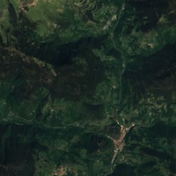
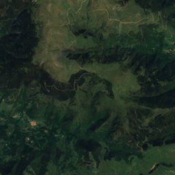
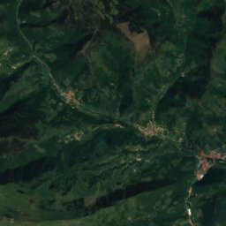
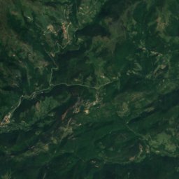
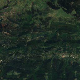
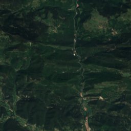
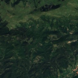
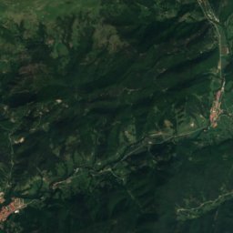
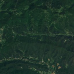
Satellite: Sentinel-2 cloudless 2016 by EOX IT Services GmbH · CC BY 4.0 · Contains modified Copernicus Sentinel data 2016
Puig de Mont-roig
1,991 m · serra de Mont-roig
Heritage

House in carrer del Fossar, 14
Cultural Asset part of the cultural heritage of Catalonia · 1601

House in carrer del Fossar, 10
Cultural Asset part of the cultural heritage of Catalonia · 1701

House in carrer del Fossar, 16
Cultural Asset part of the cultural heritage of Catalonia · 1601
Museums

El Ter Industrial Museum – Can Sanglas
Industry museum · 2004


Satellite: Sentinel-2 cloudless 2016 by EOX IT Services GmbH · CC BY 4.0 · Contains modified Copernicus Sentinel data 2016
L'Esquerda Archaeological Museum
1988