

Photo: Montfranc · CC BY-SA 3.0 · Wikimedia Commons
Pic de la PortelletaReport this photo · linked, not stored
Pic de la PortelletaPic de la PortelletaReport this photo · linked, not stored

Photo: Enfo · CC BY-SA 3.0 · Wikimedia Commons
Tossa Plana de LlesReport this photo · linked, not stored
Tossa Plana de LlesTossa Plana de LlesReport this photo · linked, not stored

Photo: Isidro Jabato · CC BY-SA 4.0 · Wikimedia Commons
Pic de Calm ColomerReport this photo · linked, not stored
Pic de Calm ColomerPic de Calm ColomerReport this photo · linked, not stored

Photo: Catalaalatac · CC BY-SA 4.0 · Wikimedia Commons
Pic de SetutReport this photo · linked, not stored
Pic de SetutPic de SetutReport this photo · linked, not stored
Cadí mountain range · Catalonia · SpainSummit weather, forecast and climate
Pradell
2,213 mSnow likely Jan–Feb · Dec
Elevation2,213 mabove sea level
Prominence33 mindependent height
Isolation2.3 kmto a higher summit
Summit, Jul19°average high
42.29° N, 1.76° EElevation 2,213 mUTC+1 · Central European Standard Time
From the valley to the top
- Summit2,213 m
- Mid-mountain1,790 m
- Valley · Saldes1,365 m
Freezing level in October: above the summit
iThe mountain
Pradell in brief
Pradell rises to 2,213 m in the Cadí mountain range, Catalonia, Spain. Its topographic prominence — the height it stands above the lowest contour enclosing a higher summit — is 33 m.
At the summit, July is the mildest month with average highs of 19°, while nights fall below freezing in 6 months of the year.
The nearest town is Saldes, 7.1 km to the S at 1,365 m.
iiForecast
Weather at three heights
Temperatures are adjusted to each height; summits are usually colder and windier than the valley forecast suggests.
Loading the latest forecast…
Loading the latest forecast…
Loading the latest forecast…
iiiSummit climate
The top of Pradell by month
Summit temperatures and precipitation
Climate normals for the summit area (~1 km grid), station-adjusted| Month | Jan | Feb | Mar | Apr | May | Jun | Jul | Aug | Sep | Oct | Nov | Dec |
|---|---|---|---|---|---|---|---|---|---|---|---|---|
| Average high | 3° | 4° | 6° | 8° | 11° | 16° | 19° | 19° | 14° | 10° | 6° | 4° |
| Average low | -5° | -5° | -3° | -1° | 3° | 6° | 9° | 9° | 5° | 2° | -2° | -4° |
| Precipitation | 60 mm | 38 mm | 54 mm | 95 mm | 113 mm | 104 mm | 73 mm | 96 mm | 96 mm | 99 mm | 90 mm | 75 mm |
| Cloud cover | 35% | 33% | 35% | 39% | 39% | 31% | 20% | 23% | 29% | 36% | 36% | 36% |
| Daylight | 9h 25 | 10h 35 | 11h 53 | 13h 21 | 14h 35 | 15h 15 | 14h 59 | 13h 55 | 12h 32 | 11h 07 | 9h 49 | 9h 06 |
| Month score | 39 | 46 | 41 | 28 | 30 | 59 | 80 | 74 | 55 | 30 | 31 | 35 |
Snow and freezing level
Average height of the 0 °C level from the summit normals (6.5 °C per km); snow months have a summit mean at or below +1 °C| Month | Jan | Feb | Mar | Apr | May | Jun | Jul | Aug | Sep | Oct | Nov | Dec |
|---|---|---|---|---|---|---|---|---|---|---|---|---|
| Freezing level | 2,000 m | 2,050 m | 2,450 m | 2,700 m | 3,300 m | 3,900 m | 4,400 m | 4,350 m | 3,750 m | 3,200 m | 2,500 m | 2,150 m |
| Summit | ❄ snow | ❄ snow | above 0 °C | above 0 °C | above 0 °C | above 0 °C | above 0 °C | above 0 °C | above 0 °C | above 0 °C | above 0 °C | ❄ snow |
ivTerrain
Pradell in 3D
vNeighbours
Mountains of SpainPeaks nearby
| Mountain | Elevation | Prominence | Distance | July summit high |
|---|---|---|---|---|
| Puigpedrós | 2,915 m | 644 m | 22 km N | 13° |
| Pic de la Portelleta | 2,905 m | 389 m | 21 km NW | 14° |
| Tossa Plana de Lles | 2,905 m | 380 m | 21 km NW | 14° |
| Pic de Calm Colomer | 2,869 m | 229 m | 22 km N | 14° |
| Pic de Setut | 2,867 m | – | 22 km NW | 14° |
| La Muga | 2,861 m | 143 m | 21 km N | 14° |
| Tosseta de Vallcivera | 2,848 m | – | 22 km N | 14° |
| Tossal Bovinar | 2,842 m | 155 m | 22 km NW | 14° |
viBase towns
Where to stay nearby


Photo: © José Luiz Bernardes Ribeiro · CC BY-SA 3.0 · Wikimedia CommonsReport this photo · linked, not stored
Bellver de Cerdanya
Catalonia · 8.3 km N
19°Oct high
11wet days
74score

Around here
Saldes and around
Nature

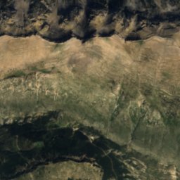
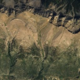
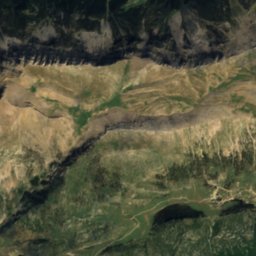
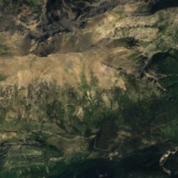
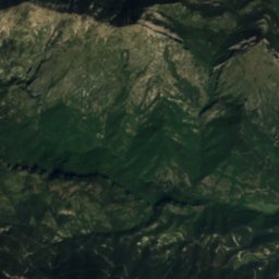
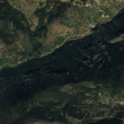
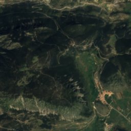
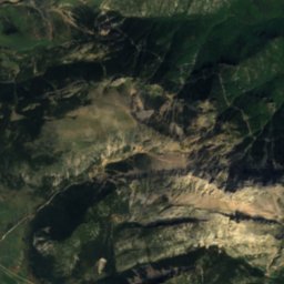
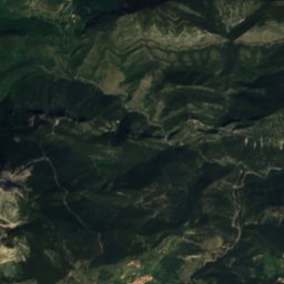
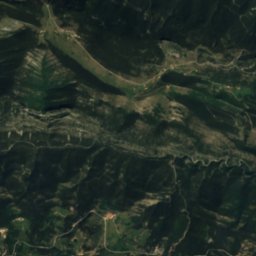
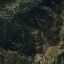
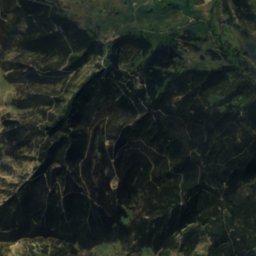
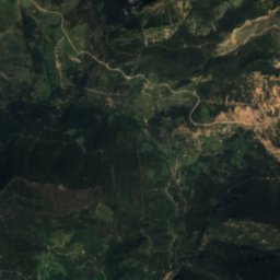
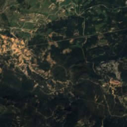
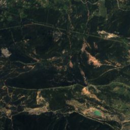
Satellite: Sentinel-2 cloudless 2016 by EOX IT Services GmbH · CC BY 4.0 · Contains modified Copernicus Sentinel data 2016
torrent de Ruixol (Berguedà)
River

Mountains
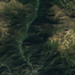
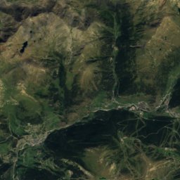
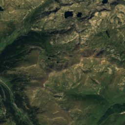
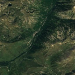
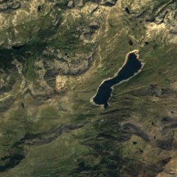
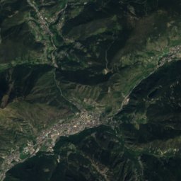
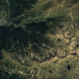
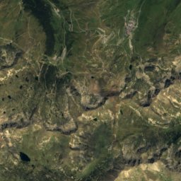
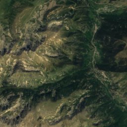
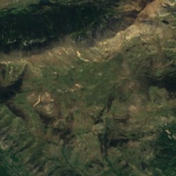
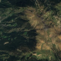
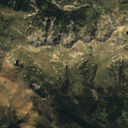
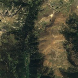
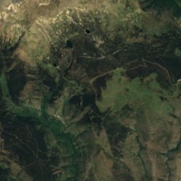
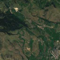
Satellite: Sentinel-2 cloudless 2016 by EOX IT Services GmbH · CC BY 4.0 · Contains modified Copernicus Sentinel data 2016
Puigpedrós
2,915 m · Pyrenees

Heritage

Sant Ponç de Molers
Cultural Asset part of the cultural heritage of Catalonia · 1100


Santuari de la Mare de Déu de Gresolet
Cultural Asset part of the cultural heritage of Catalonia
Museums

Photo: Museu de les Mines de Cercs · CC BY-SA 3.0 es · Wikimedia CommonsReport this photo · linked, not stored
Cercs Mine Museum
1999


