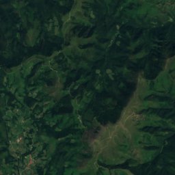
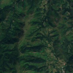
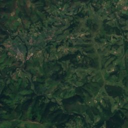
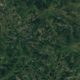
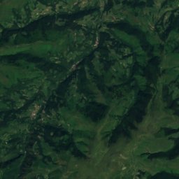
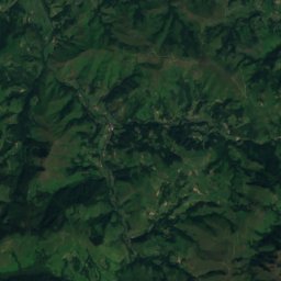
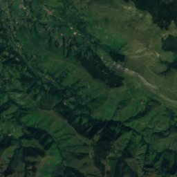
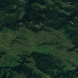
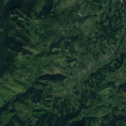
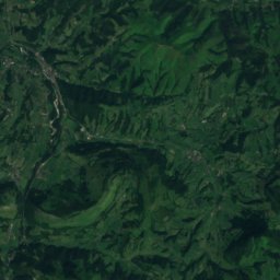
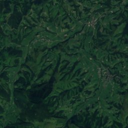
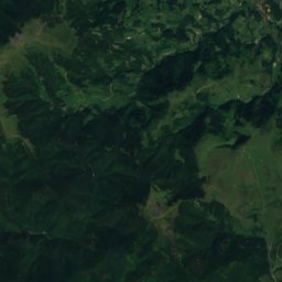
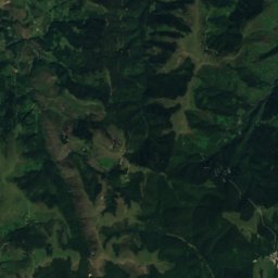
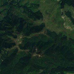
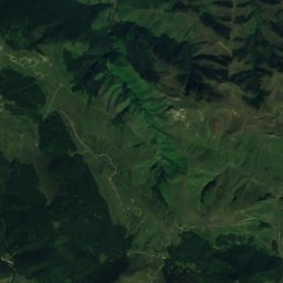
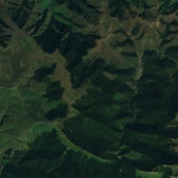
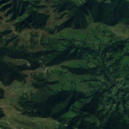
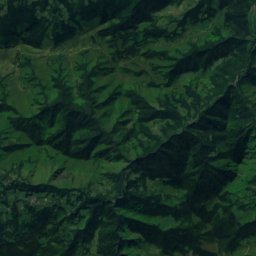
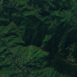
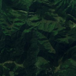
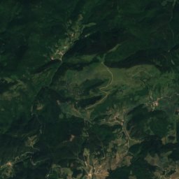
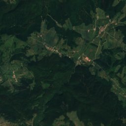
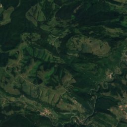
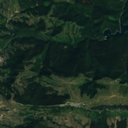
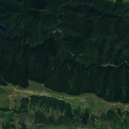
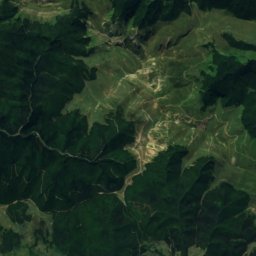
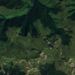
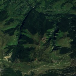
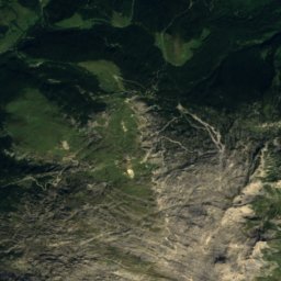
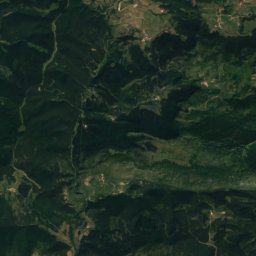
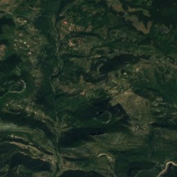
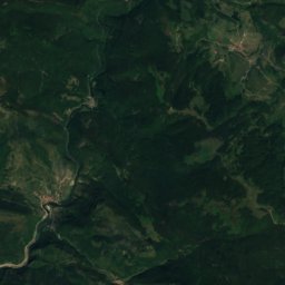
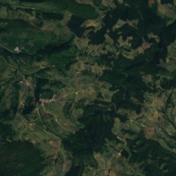
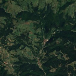
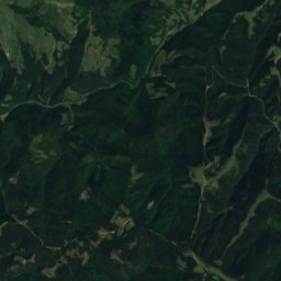
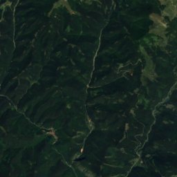
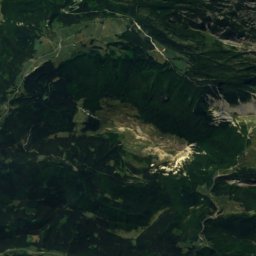
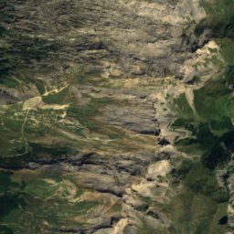
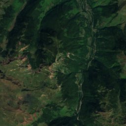
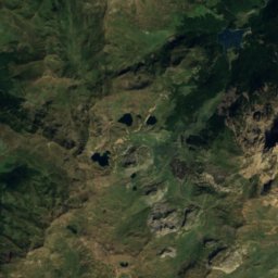
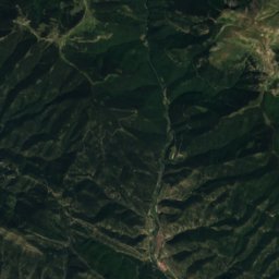
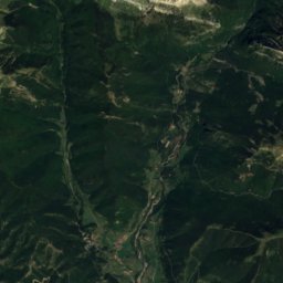
Satellite: Sentinel-2 cloudless 2016 by EOX IT Services GmbH · CC BY 4.0 · Contains modified Copernicus Sentinel data 2016

Photo: Original uploader was Larrousiney at fr.wikipedia · CC BY-SA 3.0 · Wikimedia Commons
Pic d'ArlasReport this photo · linked, not stored
Pic d'ArlasPic d'ArlasReport this photo · linked, not stored

Photo: Jörg Braukmann · CC BY-SA 4.0 · Wikimedia Commons
Pic d'OrhyReport this photo · linked, not stored
Pic d'OrhyPic d'OrhyReport this photo · linked, not stored

Photo: José Luis Piedrafita Gz. · CC BY-SA 4.0 · Wikimedia Commons
KartxelaReport this photo · linked, not stored
KartxelaKartxelaReport this photo · linked, not stored

Photo: Xabier Eskisabel · CC BY-SA 3.0 · Wikimedia Commons
TxamantxoiaReport this photo · linked, not stored
TxamantxoiaTxamantxoiaReport this photo · linked, not stored
Navarre · SpainSummit weather, forecast and climate
Pellüsagaina
1,594 mSnow likely Jan–Feb
Elevation1,594 mabove sea level
Prominence–independent height
Isolation5.2 kmto a higher summit
Summit, Jul18°average high
43.02° N, 1.05° WElevation 1,594 mUTC+2 · Central European Summer Time
From the valley to the top
- Summit1,594 m
- Mid-mountain1,110 m
- Valley · Larrau632 m
Freezing level in October: above the summit
iThe mountain
Pellüsagaina in brief
Pellüsagaina rises to 1,594 m, Navarre, Spain.
At the summit, August is the mildest month with average highs of 18°, while nights fall below freezing in 4 months of the year.
The nearest town is Larrau, 7.6 km to the E at 632 m.
iiForecast
Weather at three heights
Temperatures are adjusted to each height; summits are usually colder and windier than the valley forecast suggests.
Loading the latest forecast…
Loading the latest forecast…
Loading the latest forecast…
iiiSummit climate
The top of Pellüsagaina by month
Summit temperatures and precipitation
Climate normals for the summit area (~1 km grid), station-adjusted| Month | Jan | Feb | Mar | Apr | May | Jun | Jul | Aug | Sep | Oct | Nov | Dec |
|---|---|---|---|---|---|---|---|---|---|---|---|---|
| Average high | 3° | 3° | 6° | 8° | 11° | 16° | 18° | 18° | 15° | 11° | 6° | 4° |
| Average low | -2° | -3° | -1° | 1° | 4° | 8° | 10° | 10° | 8° | 6° | 1° | -1° |
| Precipitation | 220 mm | 186 mm | 180 mm | 225 mm | 183 mm | 121 mm | 97 mm | 112 mm | 149 mm | 203 mm | 245 mm | 243 mm |
| Cloud cover | 51% | 48% | 47% | 51% | 49% | 42% | 35% | 35% | 37% | 45% | 50% | 52% |
| Daylight | 9h 21 | 10h 32 | 11h 53 | 13h 23 | 14h 39 | 15h 21 | 15h 04 | 13h 58 | 12h 32 | 11h 05 | 9h 45 | 9h 02 |
| Month score | 16 | 18 | 18 | 16 | 24 | 51 | 70 | 67 | 47 | 26 | 17 | 16 |
Snow and freezing level
Average height of the 0 °C level from the summit normals (6.5 °C per km); snow months have a summit mean at or below +1 °C| Month | Jan | Feb | Mar | Apr | May | Jun | Jul | Aug | Sep | Oct | Nov | Dec |
|---|---|---|---|---|---|---|---|---|---|---|---|---|
| Freezing level | 1,700 m | 1,600 m | 2,000 m | 2,300 m | 2,800 m | 3,450 m | 3,700 m | 3,750 m | 3,350 m | 2,900 m | 2,100 m | 1,850 m |
| Summit | ❄ snow | ❄ snow | above 0 °C | above 0 °C | above 0 °C | above 0 °C | above 0 °C | above 0 °C | above 0 °C | above 0 °C | above 0 °C | above 0 °C |
ivTerrain
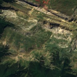
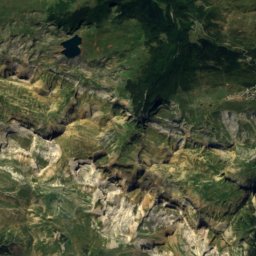
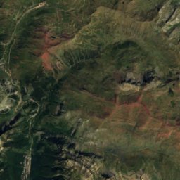
Pellüsagaina in 3D
vNeighbours
Mountains of SpainPeaks nearby
| Mountain | Elevation | Prominence | Distance | July summit high |
|---|---|---|---|---|
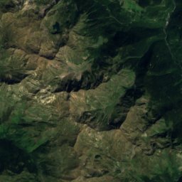
| Pic d'Arlas | 2,044 m | 126 m | 25 km E | 17° |
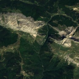
| Pic d'Orhy | 2,017 m | 603 m | 5.2 km SE | 17° |
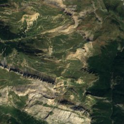
| Kartxela | 1,979 m | 445 m | 15 km SE | 17° |
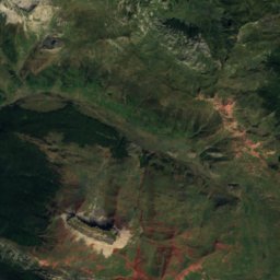
| Txamantxoia | 1,941 m | 375 m | 23 km SE | 17° |
| Barazea | 1,893 m | – | 13 km SE | 17° |
| Lakhura | 1,877 m | – | 19 km SE | 17° |
| Baines | 1,843 m | – | 24 km SE | 18° |
| Pic Lakhoura | 1,814 m | – | 19 km SE | 18° |
viBase towns
Where to stay nearby


Lacarry-Arhan-Charritte-de-Haut
New Aquitaine · 12 km NE
20°Oct high
11wet days
70score


Around here
Escároz and around


Mountains
Satellite: Sentinel-2 cloudless 2016 by EOX IT Services GmbH · CC BY 4.0 · Contains modified Copernicus Sentinel data 2016
Bisaurin
2,668 m · Pyrenees


Heritage

Hermitage of Nuestra Señora de Muskilda
bien de interés cultural · 1200


Museums

Satellite: Sentinel-2 cloudless 2016 by EOX IT Services GmbH · CC BY 4.0 · Contains modified Copernicus Sentinel data 2016
Koleto etxea
1786


