
Photo: Gustau Erill i Pinyot · CC BY-SA 3.0 · Wikimedia Commons
FiteroReport this photo · linked, not stored
FiteroReport this photo · linked, not stored

Photo: Josep Borrut · CC BY-SA 3.0 · Wikimedia Commons
ComalofornoReport this photo · linked, not stored
ComalofornoComalofornoReport this photo · linked, not stored

Photo: Josep Borrut · CC BY-SA 3.0 · Wikimedia Commons
Punta Alta de ComalesbienesReport this photo · linked, not stored
Punta Alta de ComalesbienesPunta Alta de ComalesbienesReport this photo · linked, not stored

Photo: Josep Borrut · CC BY-SA 3.0 · Wikimedia Commons
Besiberri NordReport this photo · linked, not stored
Besiberri NordBesiberri NordReport this photo · linked, not stored

Photo: Josep Borrut · CC BY-SA 3.0 · Wikimedia Commons
Besiberri del MigReport this photo · linked, not stored
Besiberri del MigBesiberri del MigReport this photo · linked, not stored
Pyrenees · Catalonia · SpainSummit weather, forecast and climate
Fitero
2,464 mSnow likely Jan–Apr · Nov–Dec
Elevation2,464 mabove sea level
Prominence25 mindependent height
Isolation2.1 kmto a higher summit
Summit, Jul17°average high
42.47° N, 0.96° EElevation 2,464 mUTC+1 · Central European Standard Time
From the valley to the top
- Summit2,464 m
- Mid-mountain1,780 m
- Valley · La Torre de Cabdella1,092 m
Freezing level in October: above the summit
iThe mountain
Fitero in brief
Fitero rises to 2,464 m in the Pyrenees, Catalonia, Spain. Its topographic prominence — the height it stands above the lowest contour enclosing a higher summit — is 25 m.
At the summit, July is the mildest month with average highs of 17°, while nights fall below freezing in 6 months of the year.
The nearest town is La Torre de Cabdella, 6.0 km to the S at 1,092 m.
iiForecast
Weather at three heights
Temperatures are adjusted to each height; summits are usually colder and windier than the valley forecast suggests.
Loading the latest forecast…
Loading the latest forecast…
Loading the latest forecast…
iiiSummit climate
The top of Fitero by month
Summit temperatures and precipitation
Climate normals for the summit area (~1 km grid), station-adjusted| Month | Jan | Feb | Mar | Apr | May | Jun | Jul | Aug | Sep | Oct | Nov | Dec |
|---|---|---|---|---|---|---|---|---|---|---|---|---|
| Average high | 0° | 1° | 2° | 4° | 8° | 13° | 17° | 16° | 12° | 8° | 3° | 1° |
| Average low | -6° | -6° | -5° | -3° | 1° | 5° | 8° | 8° | 5° | 2° | -3° | -5° |
| Precipitation | 92 mm | 65 mm | 83 mm | 155 mm | 164 mm | 138 mm | 100 mm | 122 mm | 137 mm | 137 mm | 145 mm | 125 mm |
| Cloud cover | 40% | 38% | 37% | 42% | 42% | 33% | 22% | 26% | 32% | 40% | 40% | 41% |
| Daylight | 9h 24 | 10h 34 | 11h 53 | 13h 21 | 14h 36 | 15h 17 | 15h 00 | 13h 56 | 12h 32 | 11h 07 | 9h 48 | 9h 05 |
| Month score | 29 | 37 | 32 | 20 | 20 | 41 | 66 | 57 | 35 | 21 | 21 | 20 |
Snow and freezing level
Average height of the 0 °C level from the summit normals (6.5 °C per km); snow months have a summit mean at or below +1 °C| Month | Jan | Feb | Mar | Apr | May | Jun | Jul | Aug | Sep | Oct | Nov | Dec |
|---|---|---|---|---|---|---|---|---|---|---|---|---|
| Freezing level | 2,050 m | 2,050 m | 2,300 m | 2,600 m | 3,100 m | 3,900 m | 4,400 m | 4,300 m | 3,750 m | 3,200 m | 2,450 m | 2,150 m |
| Summit | ❄ snow | ❄ snow | ❄ snow | ❄ snow | above 0 °C | above 0 °C | above 0 °C | above 0 °C | above 0 °C | above 0 °C | ❄ snow | ❄ snow |
ivTerrain
Fitero in 3D
vNeighbours
Mountains of SpainPeaks nearby
| Mountain | Elevation | Prominence | Distance | July summit high |
|---|---|---|---|---|
| Comaloforno | 3,029 m | 689 m | 17 km NW | 12° |
| Besiberri Sud | 3,023 m | 36 m | 17 km NW | 11° |
| Punta Alta de Comalesbienes | 3,014 m | 540 m | 14 km NW | 12° |
| Besiberri Nord | 3,008 m | 101 m | 18 km NW | 12° |
| punta de Passet | 2,998 m | 59 m | 17 km NW | 12° |
| Besiberri del Mig | 2,995 m | 64 m | 18 km NW | 12° |
| pic de Comalesbienes | 2,993 m | 20 m | 14 km NW | 12° |
| Pic de Peguera | 2,983 m | 560 m | 8.9 km NE | 13° |
viBase towns
Where to stay nearby

Photo: Lluís Marian Vidal i Carreras · Public domain · Wikimedia CommonsReport this photo · linked, not stored
La Torre de Cabdella
Catalonia · 6.0 km S
18°Oct high
11wet days
69score


Photo: Gustau Erill i Pinyot · CC BY-SA 3.0 · Wikimedia CommonsReport this photo · linked, not stored
Olp
Catalonia · 14 km E
18°Oct high
11wet days
70score
Around here
La Torre de Cabdella and around
Photo: Lluís Marian Vidal i Carreras · Public domain · Wikimedia CommonsReport this photo · linked, not stored
La Torre de Cabdella
Catalonia · Spain
Jun–Jul · Sepbest months
27°July high
1,092 maltitude
Nature


Photo: Lali Masriera from Barcelona, Catalunya · CC BY 2.0 · Wikimedia CommonsReport this photo · linked, not stored
Estany de Montcortès
Lake · 1,065 m

Mountains
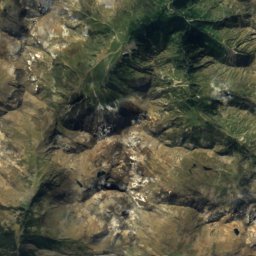
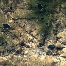
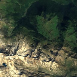
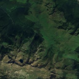
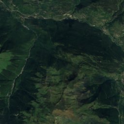
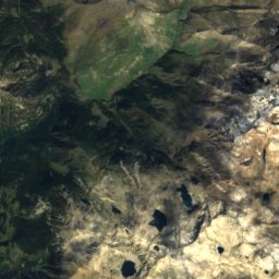
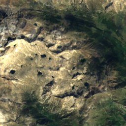
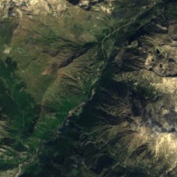
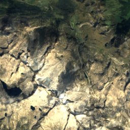
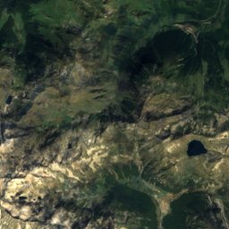
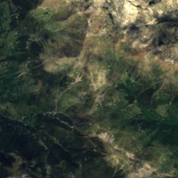
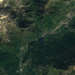
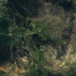
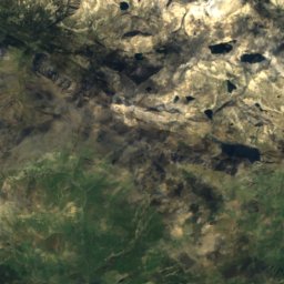
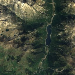
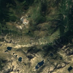
Satellite: Sentinel-2 cloudless 2016 by EOX IT Services GmbH · CC BY 4.0 · Contains modified Copernicus Sentinel data 2016
Aneto
3,404 m · Macizo de la Maladeta
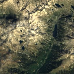
Satellite: Sentinel-2 cloudless 2016 by EOX IT Services GmbH · CC BY 4.0 · Contains modified Copernicus Sentinel data 2016
Punta d'Astorg
3,355 m · Macizo de la Maladeta
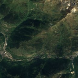
Satellite: Sentinel-2 cloudless 2016 by EOX IT Services GmbH · CC BY 4.0 · Contains modified Copernicus Sentinel data 2016
Espatlla d'Aneto
3,350 m · Macizo de la Maladeta
Heritage

Molinos hydropower plant
Cultural Asset part of the cultural heritage of Catalonia · 1919

Photo: Gustau Erill i Pinyot · CC BY-SA 3.0 · Wikimedia CommonsReport this photo · linked, not stored
Sant Andreu d'Astell
Cultural Asset part of the cultural heritage of Catalonia

Photo: Gustau Erill i Pinyot · CC BY-SA 3.0 · Wikimedia CommonsReport this photo · linked, not stored
Hermitage of Saint Lucia
Cultural Asset part of the cultural heritage of Catalonia
Museums


Photo: Gustau Erill i Pinyot · CC BY-SA 3.0 · Wikimedia CommonsReport this photo · linked, not stored

Presó-Museu Camí de la Llibertat
2007