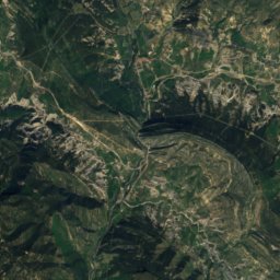
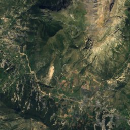
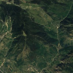
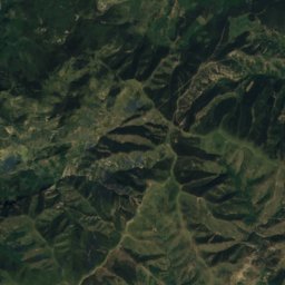
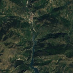
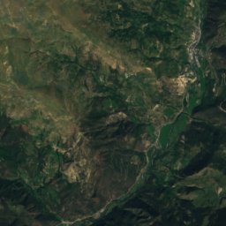
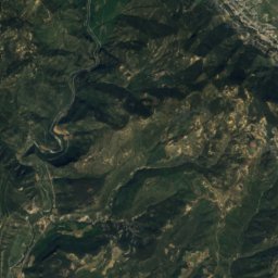
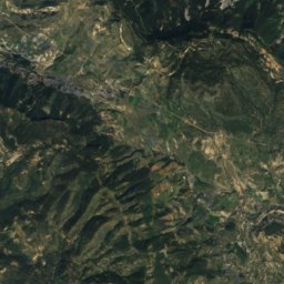
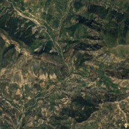
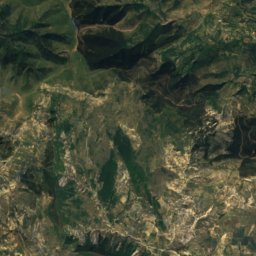
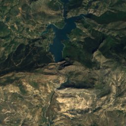
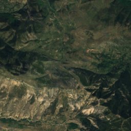
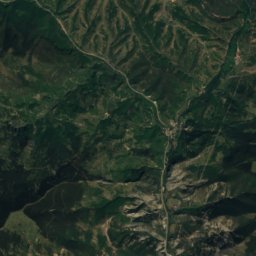
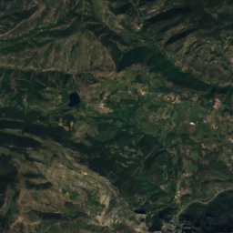
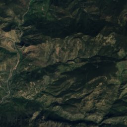
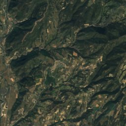
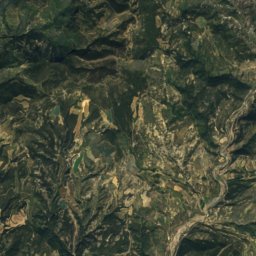
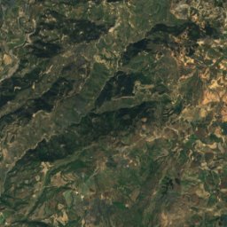
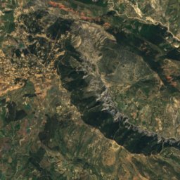
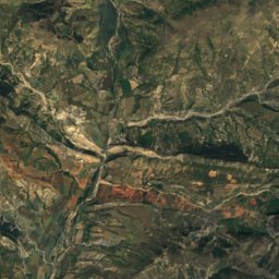
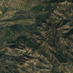
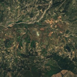
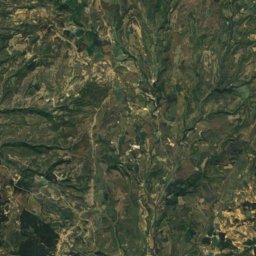
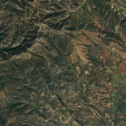
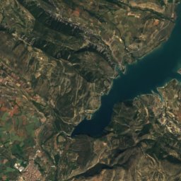
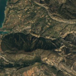
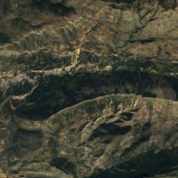
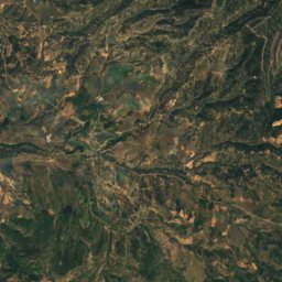
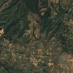
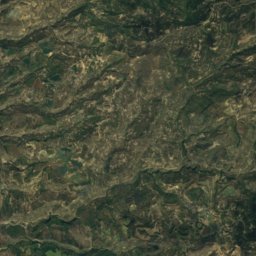
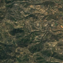
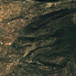
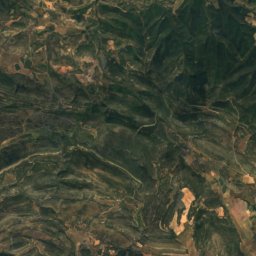
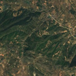
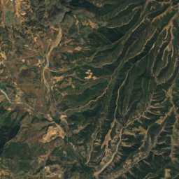
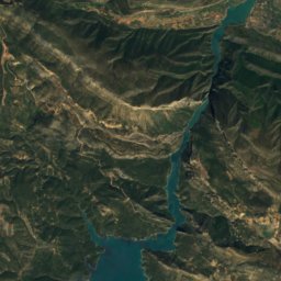
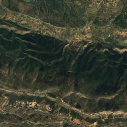
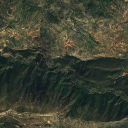
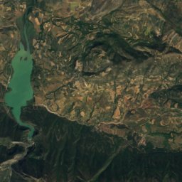
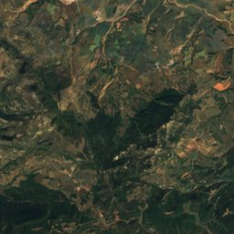
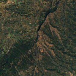
Satellite: Sentinel-2 cloudless 2016 by EOX IT Services GmbH · CC BY 4.0 · Contains modified Copernicus Sentinel data 2016

Photo: Xavier Varela · CC BY-SA 3.0 · Wikimedia Commons
Pala del TellerReport this photo · linked, not stored
Pala del TellerPala del TellerReport this photo · linked, not stored

Photo: Xavier Varela · CC BY-SA 3.0 · Wikimedia Commons
L'Avedoga d'AdonsReport this photo · linked, not stored
L'Avedoga d'AdonsL'Avedoga d'AdonsReport this photo · linked, not stored

Photo: Gustau Erill i Pinyot · CC BY-SA 3.0 · Wikimedia Commons
Tossal de TuiroReport this photo · linked, not stored
Tossal de TuiroTossal de TuiroReport this photo · linked, not stored

Photo: Gustau Erill i Pinyot · CC BY-SA 3.0 · Wikimedia Commons
La Faiada de MalpàsReport this photo · linked, not stored
La Faiada de MalpàsLa Faiada de MalpàsReport this photo · linked, not stored
Aragon · SpainSummit weather, forecast and climate
Espills
1,185 m
Elevation1,185 mabove sea level
Prominence–independent height
Isolation1.4 kmto a higher summit
Summit, Jul28°average high
42.21° N, 0.77° EElevation 1,185 mUTC+1 · Central European Standard Time
From the valley to the top
- Summit1,185 m
- Mid-mountain950 m
- Valley · Areny de Noguera / Arén710 m
Freezing level in October: above the summit
iThe mountain
Espills in brief
Espills rises to 1,185 m, Aragon, Spain.
At the summit, July is the mildest month with average highs of 28°, while nights fall below freezing in 3 months of the year.
The nearest town is Areny de Noguera / Arén, 6.2 km to the NW at 710 m.
iiForecast
Weather at three heights
Temperatures are adjusted to each height; summits are usually colder and windier than the valley forecast suggests.
Loading the latest forecast…
Loading the latest forecast…
Loading the latest forecast…
iiiSummit climate
The top of Espills by month
Summit temperatures and precipitation
Climate normals for the summit area (~1 km grid), station-adjusted| Month | Jan | Feb | Mar | Apr | May | Jun | Jul | Aug | Sep | Oct | Nov | Dec |
|---|---|---|---|---|---|---|---|---|---|---|---|---|
| Average high | 9° | 11° | 15° | 17° | 21° | 25° | 28° | 28° | 23° | 18° | 13° | 10° |
| Average low | -2° | -2° | 1° | 4° | 6° | 10° | 12° | 12° | 9° | 6° | 1° | -1° |
| Precipitation | 40 mm | 28 mm | 35 mm | 76 mm | 79 mm | 63 mm | 36 mm | 56 mm | 74 mm | 72 mm | 65 mm | 58 mm |
| Cloud cover | 30% | 29% | 31% | 35% | 34% | 26% | 15% | 19% | 25% | 32% | 32% | 32% |
| Daylight | 9h 26 | 10h 35 | 11h 53 | 13h 21 | 14h 34 | 15h 15 | 14h 58 | 13h 55 | 12h 31 | 11h 07 | 9h 49 | 9h 07 |
| Month score | 47 | 56 | 72 | 70 | 77 | 83 | 76 | 73 | 80 | 79 | 53 | 41 |
Snow and freezing level
Average height of the 0 °C level from the summit normals (6.5 °C per km); snow months have a summit mean at or below +1 °C| Month | Jan | Feb | Mar | Apr | May | Jun | Jul | Aug | Sep | Oct | Nov | Dec |
|---|---|---|---|---|---|---|---|---|---|---|---|---|
| Freezing level | 1,750 m | 1,900 m | 2,400 m | 2,750 m | 3,250 m | 3,850 m | 4,300 m | 4,250 m | 3,650 m | 3,000 m | 2,250 m | 1,800 m |
| Summit | above 0 °C | above 0 °C | above 0 °C | above 0 °C | above 0 °C | above 0 °C | above 0 °C | above 0 °C | above 0 °C | above 0 °C | above 0 °C | above 0 °C |
ivTerrain
Espills in 3D
vNeighbours
Mountains of SpainPeaks nearby
| Mountain | Elevation | Prominence | Distance | July summit high |
|---|---|---|---|---|
| Tossal del Cogomar | 1,997 m | 51 m | 24 km N | 22° |
| Pala del Teller | 1,889 m | 554 m | 12 km N | 22° |
| L'Avedoga d'Adons | 1,839 m | 152 m | 13 km NE | 23° |
| Roca de Sant Gervàs | 1,800 m | – | 12 km N | 24° |
| Amariedo | 1,791 m | – | 18 km NW | 22° |
| Tossal de Tuiro | 1,770 m | – | 25 km NE | 22° |
| Tossal de Codó | 1,754 m | – | 24 km N | 24° |
| La Faiada de Malpàs | 1,699 m | 280 m | 18 km N | 24° |
viBase towns
Where to stay nearby


Photo: Hector Blanco de Frutos · CC BY 2.5 · Wikimedia CommonsReport this photo · linked, not stored
Talarn
Catalonia · 11 km E
22°Oct high
11wet days
74score

Around here
Areny de Noguera / Arén and around

Areny de Noguera / Arén
Aragon · Spain
Jun · Sep–Octbest months
30°July high
710 maltitude
Nature

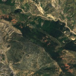
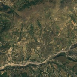
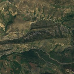
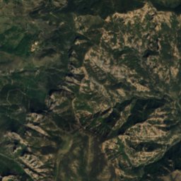
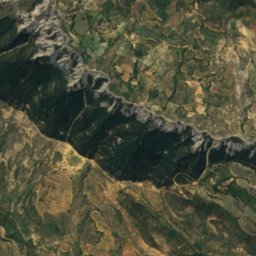
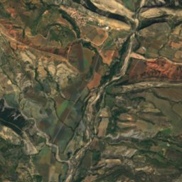
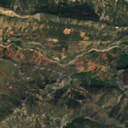
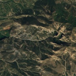
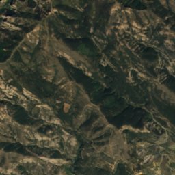
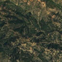
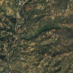
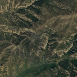
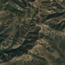
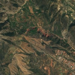
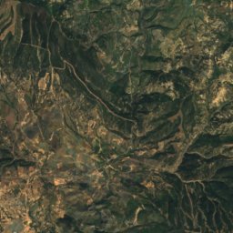
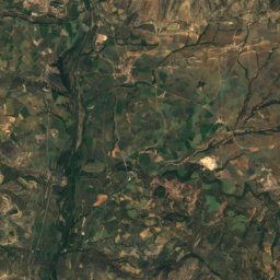
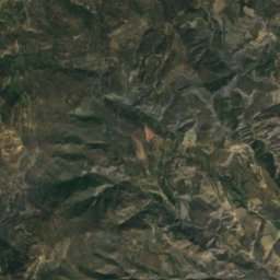
Satellite: Sentinel-2 cloudless 2016 by EOX IT Services GmbH · CC BY 4.0 · Contains modified Copernicus Sentinel data 2016
Cova del Graller
Cave · 1,265 m
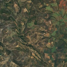
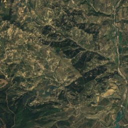
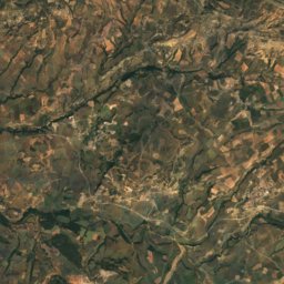
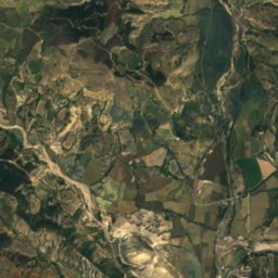
Satellite: Sentinel-2 cloudless 2016 by EOX IT Services GmbH · CC BY 4.0 · Contains modified Copernicus Sentinel data 2016
Cova de Barravés
Cave · 1,100 m
Mountains


Heritage

Photo: Gustau Erill i Pinyot · CC BY-SA 3.0 · Wikimedia CommonsReport this photo · linked, not stored

Sant Pere d'Orrit
Cultural Asset of Local Interest

Photo: Gustau Erill i Pinyot · CC BY-SA 3.0 · Wikimedia CommonsReport this photo · linked, not stored

Castell d'Orrit
Cultural Asset of National Interest


Yacimiento de icnitas de dinosaurio de Arén
Historical Site