

Photo: Makarczuk at Polish Wikipedia · CC BY-SA 2.5 · Wikimedia Commons
RysyReport this photo · linked, not stored
RysyRysyReport this photo · linked, not stored
 Kriváň

Photo: Mariusz G · Public domain · Wikimedia Commons
Veľký Mengusovský štítReport this photo · linked, not stored
Veľký Mengusovský štítVeľký Mengusovský štítReport this photo · linked, not stored

Photo: Makarczuk at Polish Wikipedia · CC BY-SA 2.5 · Wikimedia Commons
Niżnie RysyReport this photo · linked, not stored
Niżnie RysyNiżnie RysyReport this photo · linked, not stored
Western Tatras · Žilina Region · SlovakiaSummit weather, forecast and climate
Štrbavý
2,149 mSnow likely Jan–Apr · Oct–Dec
Elevation2,149 mabove sea level
Prominence–independent height
Isolation0.5 kmto a higher summit
Summit, Jul11°average high
49.17° N, 19.75° EElevation 2,149 mUTC+1 · Central European Standard Time
From the valley to the top
- Summit2,149 m
- Mid-mountain1,450 m
- Valley · Žiar759 m
Freezing level in October: above the summit
iThe mountain
Štrbavý in brief
Štrbavý rises to 2,149 m in the Western Tatras, Žilina Region, Slovakia.
At the summit, August is the mildest month with average highs of 11°, while nights fall below freezing in 8 months of the year. Daytime highs climb above zero from April to October.
The nearest town is Žiar, 7.5 km to the SW at 759 m.
Facts
- Elevation
- 2,149 m · 7,051 ft
- Range
- Western Tatras
- Region
- Žilina Region
- Country
- Slovakia
- Coordinates
- 49.1715, 19.7470
- Nearest airport
- Poprad-Tatry Airport (TAT) · 38 km
iiForecast
Weather at three heights
Temperatures are adjusted to each height; summits are usually colder and windier than the valley forecast suggests.
Loading the latest forecast…
Loading the latest forecast…
Loading the latest forecast…
iiiSummit climate
The top of Štrbavý by month
Summit temperatures and precipitation
Climate normals for the summit area (~1 km grid), station-adjusted| Month | Jan | Feb | Mar | Apr | May | Jun | Jul | Aug | Sep | Oct | Nov | Dec |
|---|---|---|---|---|---|---|---|---|---|---|---|---|
| Average high | -6° | -6° | -4° | 0° | 5° | 9° | 11° | 11° | 6° | 3° | -2° | -5° |
| Average low | -11° | -11° | -10° | -5° | 0° | 3° | 5° | 5° | 1° | -2° | -7° | -10° |
| Precipitation | 104 mm | 94 mm | 125 mm | 132 mm | 218 mm | 258 mm | 268 mm | 221 mm | 183 mm | 135 mm | 136 mm | 121 mm |
| Cloud cover | 56% | 59% | 57% | 49% | 47% | 47% | 41% | 39% | 47% | 50% | 59% | 59% |
| Daylight | 8h 39 | 10h 09 | 11h 50 | 13h 42 | 15h 18 | 16h 12 | 15h 50 | 14h 26 | 12h 39 | 10h 51 | 9h 10 | 8h 14 |
| Month score | 19 | 20 | 14 | 17 | 18 | 18 | 24 | 26 | 18 | 17 | 13 | 13 |
Snow and freezing level
Average height of the 0 °C level from the summit normals (6.5 °C per km); snow months have a summit mean at or below +1 °C| Month | Jan | Feb | Mar | Apr | May | Jun | Jul | Aug | Sep | Oct | Nov | Dec |
|---|---|---|---|---|---|---|---|---|---|---|---|---|
| Freezing level | 850 m | 800 m | 1,050 m | 1,800 m | 2,500 m | 3,050 m | 3,350 m | 3,400 m | 2,700 m | 2,150 m | 1,500 m | 950 m |
| Summit | ❄ snow | ❄ snow | ❄ snow | ❄ snow | above 0 °C | above 0 °C | above 0 °C | above 0 °C | above 0 °C | ❄ snow | ❄ snow | ❄ snow |
ivTerrain
Štrbavý in 3D
vNeighbours
Mountains of SlovakiaPeaks nearby
| Mountain | Elevation | Prominence | Distance | July summit high |
|---|---|---|---|---|
| Rysy | 2,501 m | 163 m | 25 km E | 9° |
| Kriváň | 2,494 m | – | 18 km E | 10° |
| Veľký Mengusovský štít | 2,438 m | – | 23 km E | 11° |
| Niżnie Rysy | 2,430 m | – | 25 km E | 11° |
| Hrubý vrch, Prešov Region | 2,428 m | – | 20 km E | 10° |
| Satan | 2,422 m | – | 22 km E | 10° |
| Veľké Solisko | 2,413 m | – | 21 km E | 10° |
| Furkotský štít | 2,404 m | – | 20 km E | 10° |
viBase towns
Where to stay nearby


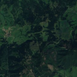
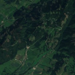
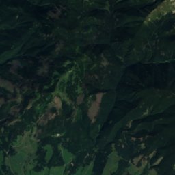
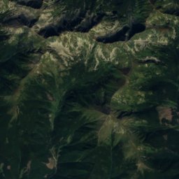
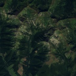
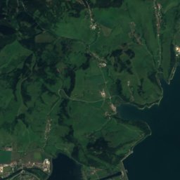
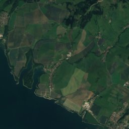
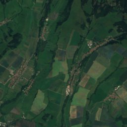
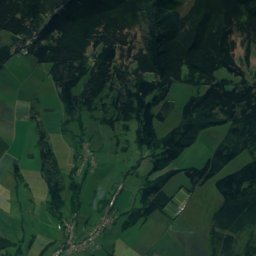
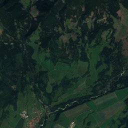
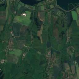
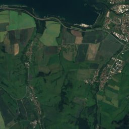
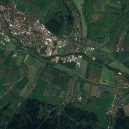
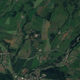
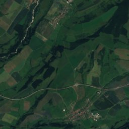
Satellite: Sentinel-2 cloudless 2016 by EOX IT Services GmbH · CC BY 4.0 · Contains modified Copernicus Sentinel data 2016
Veterná Poruba
Žilina Region · 8.6 km SW
11°Oct high
11wet days
31score

Photo: Ing.Mgr.Jozef Kotulič · CC BY-SA 3.0 · Wikimedia CommonsReport this photo · linked, not stored
Pribylina
Žilina Region · 8.7 km SE
12°Oct high
11wet days
34score
Around here
Žiar and around
Nature
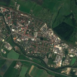
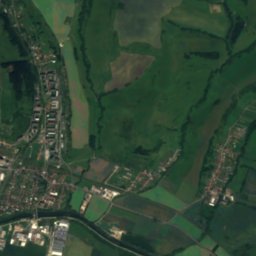
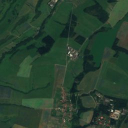
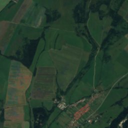
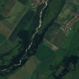
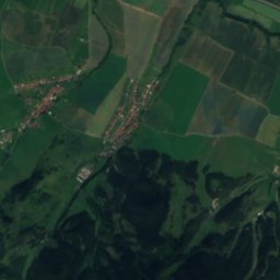
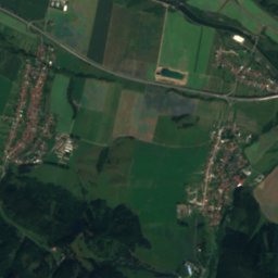
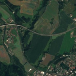
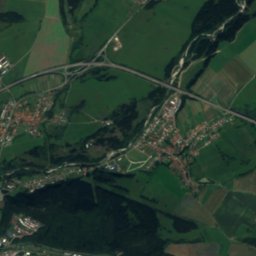
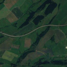
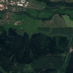
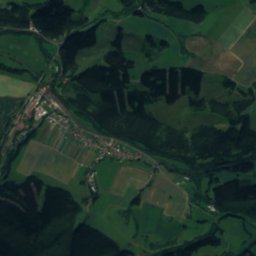
Satellite: Sentinel-2 cloudless 2016 by EOX IT Services GmbH · CC BY 4.0 · Contains modified Copernicus Sentinel data 2016
Belá, Žilina Region
River · 629 m


Mountains


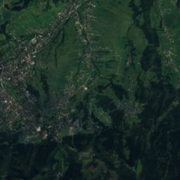
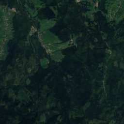
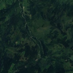
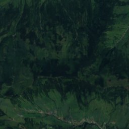
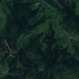
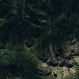
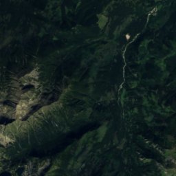
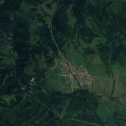
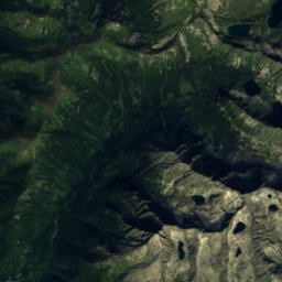
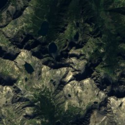
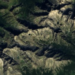
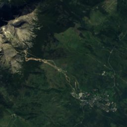
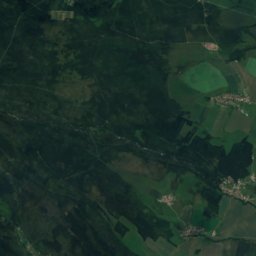
Satellite: Sentinel-2 cloudless 2016 by EOX IT Services GmbH · CC BY 4.0 · Contains modified Copernicus Sentinel data 2016
Ľadový štít
2,627 m · High Tatras
Heritage

Photo: Paweł Kuźniar (Jojo_1, Jojo) · CC BY-SA 3.0 · Wikimedia CommonsReport this photo · linked, not stored
Church of St Nicholas, Liptovský Mikuláš
cultural heritage of Slovakia · 1300

Saint Peter of Alcantara Church
cultural heritage of Slovakia · 1500

Photo: Photograph: Patrik Kunec (talk) · CC BY-SA 4.0 · Wikimedia CommonsReport this photo · linked, not stored
Church of Visitation of Virgin Mary, Liptovský Hrádok
cultural heritage of Slovakia · 1790
Museums

Photo: Fry72, Karel Frydrýšek · CC BY-SA 4.0 · Wikimedia CommonsReport this photo · linked, not stored
Medvedia štôlňa
Mining museum


