

Photo: Pudelek (Marcin Szala) · CC BY-SA 3.0 · Wikimedia Commons
ĎumbierReport this photo · linked, not stored
ĎumbierĎumbierReport this photo · linked, not stored

Photo: Jerzy Opioła · CC BY-SA 4.0 · Wikimedia Commons
ŠtiavnicaReport this photo · linked, not stored
ŠtiavnicaŠtiavnicaReport this photo · linked, not stored

Photo: EmilZatopek at Czech Wikipedia · CC BY-SA 3.0 · Wikimedia Commons
ChopokReport this photo · linked, not stored
ChopokChopokReport this photo · linked, not stored

Photo: Wikipedysta:Gower · CC BY-SA 2.5 · Wikimedia Commons
DerešeReport this photo · linked, not stored
DerešeDerešeReport this photo · linked, not stored
Low Tatras · Žilina Region · SlovakiaSummit weather, forecast and climate
Bôr
1,888 mSnow likely Jan–Apr · Nov–Dec
Elevation1,888 mabove sea level
Prominence–independent height
Isolation2.0 kmto a higher summit
Summit, Jul12°average high
48.96° N, 19.54° EElevation 1,888 mUTC+1 · Central European Standard Time
From the valley to the top
- Summit1,888 m
- Mid-mountain1,500 m
- Valley · Demänovská Dolina1,118 m
Freezing level in October: above the summit
iThe mountain
Bôr in brief
Bôr rises to 1,888 m in the Low Tatras, Žilina Region, Slovakia.
At the summit, August is the mildest month with average highs of 13°, while nights fall below freezing in 7 months of the year. Daytime highs climb above zero from April to October.
The nearest town is Demänovská Dolina, 3.1 km to the E at 1,118 m.
Facts
- Elevation
- 1,888 m · 6,193 ft
- Range
- Low Tatras
- Region
- Žilina Region
- Country
- Slovakia
- Coordinates
- 48.9647, 19.5425
- Nearest airport
- Sliač Airport (SLD) · 47 km
iiForecast
Weather at three heights
Temperatures are adjusted to each height; summits are usually colder and windier than the valley forecast suggests.
Loading the latest forecast…
Loading the latest forecast…
Loading the latest forecast…
iiiSummit climate
The top of Bôr by month
Summit temperatures and precipitation
Climate normals for the summit area (~1 km grid), station-adjusted| Month | Jan | Feb | Mar | Apr | May | Jun | Jul | Aug | Sep | Oct | Nov | Dec |
|---|---|---|---|---|---|---|---|---|---|---|---|---|
| Average high | -4° | -5° | -3° | 2° | 7° | 10° | 12° | 13° | 8° | 4° | 0° | -4° |
| Average low | -10° | -10° | -8° | -3° | 1° | 5° | 7° | 7° | 3° | -1° | -5° | -9° |
| Precipitation | 79 mm | 74 mm | 99 mm | 102 mm | 166 mm | 176 mm | 174 mm | 147 mm | 123 mm | 107 mm | 111 mm | 104 mm |
| Cloud cover | 56% | 58% | 57% | 48% | 46% | 45% | 40% | 38% | 46% | 50% | 60% | 59% |
| Daylight | 8h 41 | 10h 10 | 11h 50 | 13h 41 | 15h 16 | 16h 10 | 15h 48 | 14h 25 | 12h 39 | 10h 52 | 9h 11 | 8h 16 |
| Month score | 25 | 26 | 20 | 22 | 18 | 21 | 33 | 36 | 18 | 20 | 15 | 17 |
Snow and freezing level
Average height of the 0 °C level from the summit normals (6.5 °C per km); snow months have a summit mean at or below +1 °C| Month | Jan | Feb | Mar | Apr | May | Jun | Jul | Aug | Sep | Oct | Nov | Dec |
|---|---|---|---|---|---|---|---|---|---|---|---|---|
| Freezing level | 800 m | 750 m | 1,050 m | 1,800 m | 2,500 m | 3,050 m | 3,350 m | 3,400 m | 2,700 m | 2,150 m | 1,500 m | 950 m |
| Summit | ❄ snow | ❄ snow | ❄ snow | ❄ snow | above 0 °C | above 0 °C | above 0 °C | above 0 °C | above 0 °C | above 0 °C | ❄ snow | ❄ snow |
ivTerrain
Bôr in 3D
vNeighbours
Mountains of SlovakiaPeaks nearby
| Mountain | Elevation | Prominence | Distance | July summit high |
|---|---|---|---|---|
| Ďumbier | 2,046 m | – | 7.8 km SE | 12° |
| Štiavnica | 2,025 m | – | 8.7 km E | 12° |
| Chopok | 2,024 m | – | 4.4 km SE | 12° |
| Dereše | 2,004 m | – | 3.5 km SE | 12° |
| Skalka, Demänovská Dolina | 1,980 m | – | 4.4 km SW | 12° |
| Chabenec | 1,955 m | – | 4.4 km SW | 12° |
| Kotliská | 1,937 m | – | 3.5 km SW | 12° |
| Krúpova hoľa | 1,928 m | – | 7.0 km SE | 12° |
viBase towns
Where to stay nearby


Around here
Demänovská Dolina and around

Demänovská Dolina
Žilina Region · Slovakia
Jun–Augbest months
19°July high
1,118 maltitude
Nature
Satellite: Sentinel-2 cloudless 2016 by EOX IT Services GmbH · CC BY 4.0 · Contains modified Copernicus Sentinel data 2016
Low Tatras National Park
National park

Photo: Jojo, en:Jojo_1, pl:Jojo · CC BY-SA 3.0 · Wikimedia CommonsReport this photo · linked, not stored
Demänovská Ice Cave
Cave
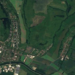
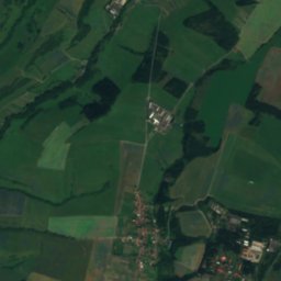
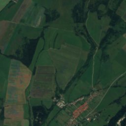
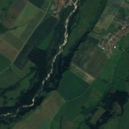
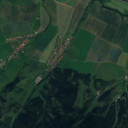
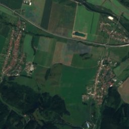
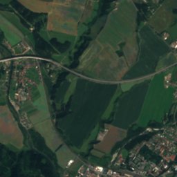
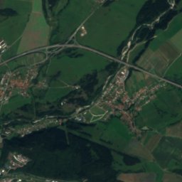
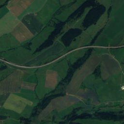
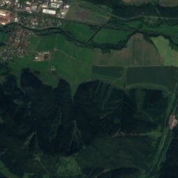
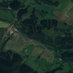
Satellite: Sentinel-2 cloudless 2016 by EOX IT Services GmbH · CC BY 4.0 · Contains modified Copernicus Sentinel data 2016
Belá, Žilina Region
River · 629 m
Mountains

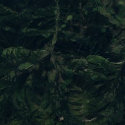
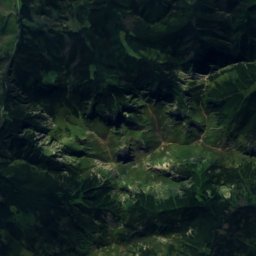
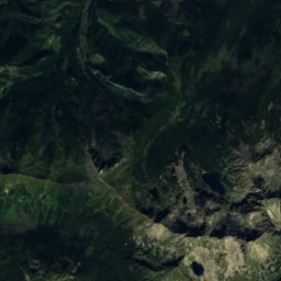
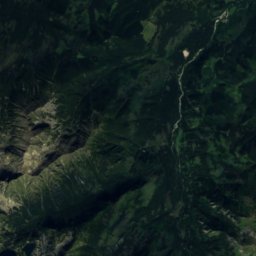
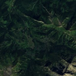
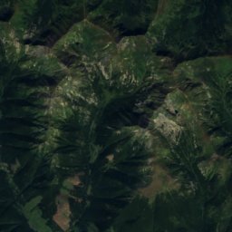
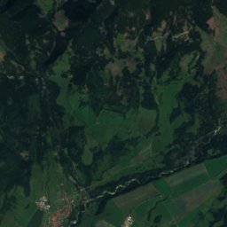
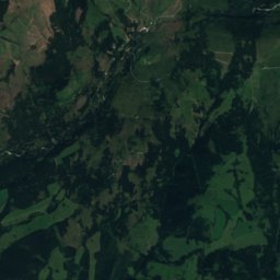
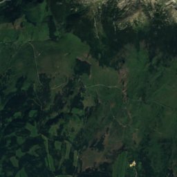
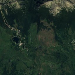
Satellite: Sentinel-2 cloudless 2016 by EOX IT Services GmbH · CC BY 4.0 · Contains modified Copernicus Sentinel data 2016
Hrubý vrch, Prešov Region
2,428 m · High Tatras

Heritage

Photo: Paweł Kuźniar (Jojo_1, Jojo) · CC BY-SA 3.0 · Wikimedia CommonsReport this photo · linked, not stored
Church of St Nicholas, Liptovský Mikuláš
cultural heritage of Slovakia · 1300

Saint Peter of Alcantara Church
cultural heritage of Slovakia · 1500

Photo: Photograph: Patrik Kunec (talk) · CC BY-SA 4.0 · Wikimedia CommonsReport this photo · linked, not stored
Church of Visitation of Virgin Mary, Liptovský Hrádok
cultural heritage of Slovakia · 1790
Museums


