

Photo: Jerzy Opioła · CC BY-SA 4.0 · Wikimedia Commons
Dračí štítReport this photo · linked, not stored
Dračí štítDračí štítReport this photo · linked, not stored

Photo: Jerzy Opioła · CC BY 3.0 · Wikimedia Commons
Malý Dračí štítReport this photo · linked, not stored
Malý Dračí štítMalý Dračí štítReport this photo · linked, not stored

Photo: Makarczuk at Polish Wikipedia · CC BY-SA 2.5 · Wikimedia Commons
RysyReport this photo · linked, not stored
RysyRysyReport this photo · linked, not stored
 Kriváň
Western Tatras · Žilina Region · SlovakiaSummit weather, forecast and climate
Bobrovec
1,663 mSlovakia / Poland borderSnow likely Jan–Mar · Nov–Dec
Elevation1,663 mabove sea level
Prominence–independent height
Isolation3.3 kmto a higher summit
Summit, Jul16°average high
49.25° N, 19.79° EElevation 1,663 mUTC+1 · Central European Standard Time
From the valley to the top
- Summit1,663 m
- Mid-mountain1,320 m
- Valley · Kościelisko974 m
Freezing level in October: above the summit
iThe mountain
Bobrovec in brief
Bobrovec rises to 1,663 m in the Western Tatras, Žilina Region, Slovakia.
At the summit, August is the mildest month with average highs of 16°, while nights fall below freezing in 6 months of the year. Daytime highs climb above zero from March to November.
The summit lies on the border between Slovakia and Poland, so it appears in the mountain lists of both countries.
The nearest town is Kościelisko, 9.0 km to the NE at 974 m.
Facts
- Elevation
- 1,663 m · 5,456 ft
- Range
- Western Tatras
- Region
- Žilina Region
- Country
- Slovakia
- Coordinates
- 49.2461, 19.7861
- Nearest airport
- Poprad-Tatry Airport (TAT) · 38 km
iiForecast
Weather at three heights
Temperatures are adjusted to each height; summits are usually colder and windier than the valley forecast suggests.
Loading the latest forecast…
Loading the latest forecast…
Loading the latest forecast…
iiiSummit climate
The top of Bobrovec by month
Summit temperatures and precipitation
Climate normals for the summit area (~1 km grid), station-adjusted| Month | Jan | Feb | Mar | Apr | May | Jun | Jul | Aug | Sep | Oct | Nov | Dec |
|---|---|---|---|---|---|---|---|---|---|---|---|---|
| Average high | -2° | -2° | 1° | 6° | 11° | 14° | 16° | 16° | 12° | 7° | 3° | -1° |
| Average low | -9° | -9° | -7° | -2° | 3° | 6° | 8° | 8° | 4° | 0° | -4° | -8° |
| Precipitation | 84 mm | 76 mm | 100 mm | 110 mm | 186 mm | 222 mm | 233 mm | 193 mm | 156 mm | 112 mm | 112 mm | 98 mm |
| Cloud cover | 59% | 60% | 56% | 48% | 47% | 47% | 42% | 40% | 48% | 51% | 61% | 62% |
| Daylight | 8h 39 | 10h 09 | 11h 50 | 13h 42 | 15h 18 | 16h 13 | 15h 51 | 14h 27 | 12h 39 | 10h 51 | 9h 10 | 8h 13 |
| Month score | 23 | 25 | 20 | 20 | 22 | 40 | 52 | 54 | 25 | 18 | 14 | 18 |
Snow and freezing level
Average height of the 0 °C level from the summit normals (6.5 °C per km); snow months have a summit mean at or below +1 °C| Month | Jan | Feb | Mar | Apr | May | Jun | Jul | Aug | Sep | Oct | Nov | Dec |
|---|---|---|---|---|---|---|---|---|---|---|---|---|
| Freezing level | 750 m | 800 m | 1,200 m | 2,000 m | 2,700 m | 3,250 m | 3,550 m | 3,550 m | 2,850 m | 2,250 m | 1,600 m | 950 m |
| Summit | ❄ snow | ❄ snow | ❄ snow | above 0 °C | above 0 °C | above 0 °C | above 0 °C | above 0 °C | above 0 °C | above 0 °C | ❄ snow | ❄ snow |
ivTerrain
Bobrovec in 3D
vNeighbours
Mountains of SlovakiaPeaks nearby
| Mountain | Elevation | Prominence | Distance | July summit high |
|---|---|---|---|---|
| Dračí štít | 2,523 m | – | 24 km E | 10° |
| Malý Dračí štít | 2,518 m | – | 24 km E | 10° |
| Rysy | 2,501 m | 163 m | 23 km E | 9° |
| Kriváň | 2,494 m | – | 18 km SE | 10° |
| Gánok | 2,462 m | – | 24 km E | 10° |
| Veľký Mengusovský štít | 2,438 m | – | 21 km E | 11° |
| Niżnie Rysy | 2,430 m | – | 23 km E | 11° |
| Hrubý vrch, Prešov Region | 2,428 m | – | 19 km SE | 10° |
viBase towns
Where to stay nearby


Around here
Zuberec and around
Nature


Brestovská jaskyňa (national natural monument)
Cave

Mountains


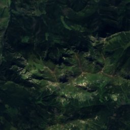
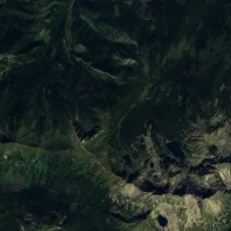
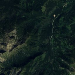
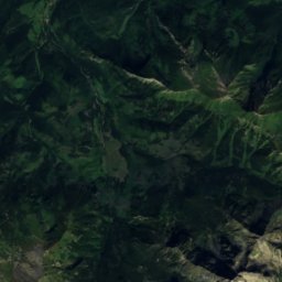
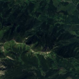
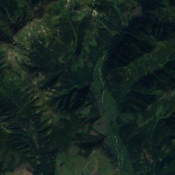
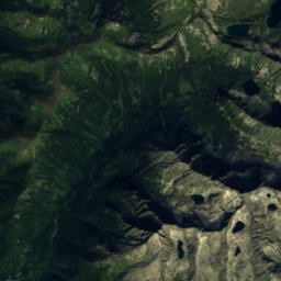
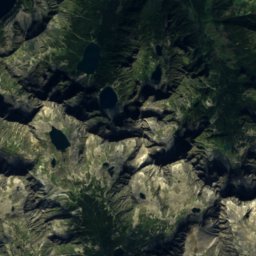
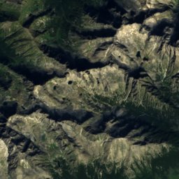
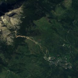
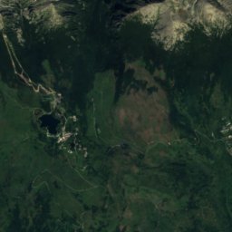
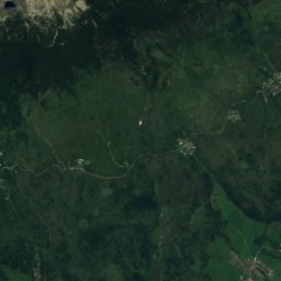
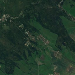
Satellite: Sentinel-2 cloudless 2016 by EOX IT Services GmbH · CC BY 4.0 · Contains modified Copernicus Sentinel data 2016
Zadný Gerlach
2,616 m · High Tatras
Heritage

Photo: János Korom Dr. from Wien, Austria · CC BY-SA 2.0 · Wikimedia CommonsReport this photo · linked, not stored
Church of All Saints of Tvrdošín
part of UNESCO World Heritage Site · 1500

Photo: Tvrdošín2.JPG: Szeder László derivative work: Rabanus Flavus (talk) · CC BY-SA 3.0 · Wikimedia CommonsReport this photo · linked, not stored
Most Holy Trinity Church, Tvrdošín
cultural heritage of Slovakia · 1700

wooden churches of the Slovak Carpathians
World Heritage Site
Museums


Photo: Fry72, Karel Frydrýšek · CC BY-SA 4.0 · Wikimedia CommonsReport this photo · linked, not stored

Medvedia štôlňa
Mining museum