



















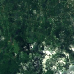
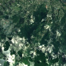
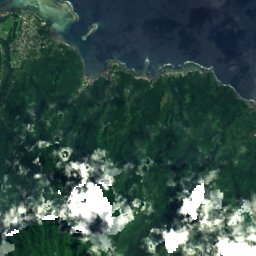
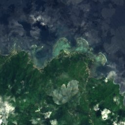

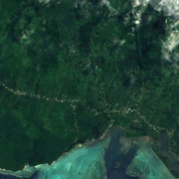
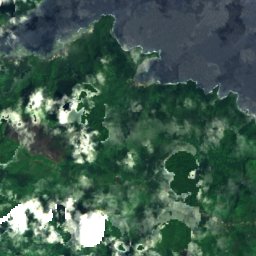
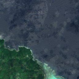

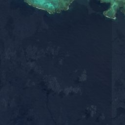
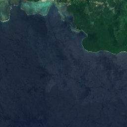
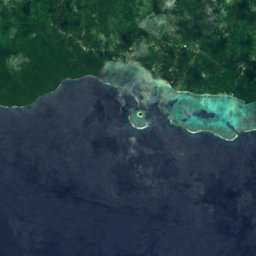
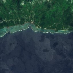

Satellite: Sentinel-2 cloudless 2016 by EOX IT Services GmbH · CC BY 4.0 · Contains modified Copernicus Sentinel data 2016

Photo: Teinesavaii · CC BY-SA 3.0 · Wikimedia Commons
Mount VaeaReport this photo · linked, not stored
Mount VaeaMount VaeaReport this photo · linked, not stored
Atua · SamoaSummit weather, forecast and climate
Mount Fao
229 m
Elevation229 mabove sea level
Prominence–independent height
Isolation9.1 kmto a higher summit
Summit, Jul24°average high
13.92° S, 171.57° WElevation 229 mUTC+13 · Samoa Standard Time
From the valley to the top
- Summit229 m
- Mid-mountain110 m
- Valley0 m
Freezing level in October: above the summit
iThe mountain
Mount Fao in brief
Mount Fao rises to 229 m, Atua, Samoa.
At the summit, March is the mildest month with average highs of 26°, while nights rarely fall below freezing.
The nearest town in the atlas is Samauga, 0.7 km to the N at 140 m.
iiForecast
Weather at three heights
Temperatures are adjusted to each height; summits are usually colder and windier than the valley forecast suggests.
Loading the latest forecast…
Loading the latest forecast…
Loading the latest forecast…
iiiSummit climate
The top of Mount Fao by month
Summit temperatures and precipitation
Climate normals for the summit area (~1 km grid), station-adjusted| Month | Jan | Feb | Mar | Apr | May | Jun | Jul | Aug | Sep | Oct | Nov | Dec |
|---|---|---|---|---|---|---|---|---|---|---|---|---|
| Average high | 26° | 26° | 26° | 26° | 25° | 25° | 24° | 24° | 25° | 25° | 25° | 25° |
| Average low | 23° | 24° | 24° | 24° | 23° | 23° | 23° | 23° | 23° | 23° | 23° | 23° |
| Precipitation | 628 mm | 529 mm | 448 mm | 382 mm | 402 mm | 276 mm | 277 mm | 246 mm | 359 mm | 408 mm | 496 mm | 547 mm |
| Cloud cover | 59% | 57% | 53% | 43% | 37% | 30% | 28% | 26% | 28% | 37% | 47% | 54% |
| Daylight | 12h 51 | 12h 32 | 12h 11 | 11h 47 | 11h 28 | 11h 18 | 11h 23 | 11h 39 | 12h 01 | 12h 24 | 12h 45 | 12h 57 |
| Month score | 53 | 53 | 54 | 59 | 63 | 67 | 67 | 67 | 67 | 64 | 59 | 55 |
Snow and freezing level
Average height of the 0 °C level from the summit normals (6.5 °C per km); snow months have a summit mean at or below +1 °C| Month | Jan | Feb | Mar | Apr | May | Jun | Jul | Aug | Sep | Oct | Nov | Dec |
|---|---|---|---|---|---|---|---|---|---|---|---|---|
| Freezing level | 4,000 m | 4,000 m | 4,000 m | 4,000 m | 3,950 m | 3,900 m | 3,850 m | 3,850 m | 3,850 m | 3,900 m | 3,950 m | 4,000 m |
| Summit | above 0 °C | above 0 °C | above 0 °C | above 0 °C | above 0 °C | above 0 °C | above 0 °C | above 0 °C | above 0 °C | above 0 °C | above 0 °C | above 0 °C |
ivTerrain
Mount Fao in 3D
vNeighbours
Mountains of SamoaPeaks nearby
| Mountain | Elevation | Prominence | Distance | July summit high |
|---|---|---|---|---|
| Mount Vaea | 472 m | 472 m | 23 km W | 26° |
| Mount Savai'i | 426 m | – | 9.1 km SE | 24° |
viBase towns
Where to stay nearby

Photo: CloudSurfer at English Wikipedia · CC BY 2.5 · Wikimedia CommonsReport this photo · linked, not stored
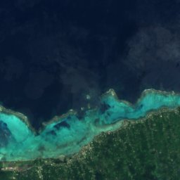
Samauga
Atua · 0.7 km N
27°Oct high
22wet days
58score
Satellite: Sentinel-2 cloudless 2016 by EOX IT Services GmbH · CC BY 4.0 · Contains modified Copernicus Sentinel data 2016
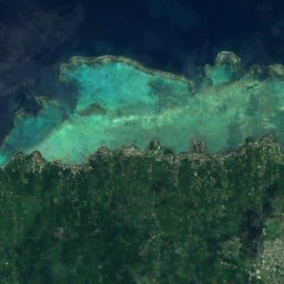
Falefa
Atua · 4.6 km NW
27°Oct high
22wet days
57score
Satellite: Sentinel-2 cloudless 2016 by EOX IT Services GmbH · CC BY 4.0 · Contains modified Copernicus Sentinel data 2016
Faleapuna
Atua · 5.8 km NW
27°Oct high
22wet days
57score
Photo: CloudSurfer at English Wikipedia · CC BY 2.5 · Wikimedia CommonsReport this photo · linked, not stored
Uafato
Va'a-o-Fonoti · 6.4 km SE
26°Oct high
22wet days
57score
Around here
Samauga and around
Photo: CloudSurfer at English Wikipedia · CC BY 2.5 · Wikimedia CommonsReport this photo · linked, not stored
Samauga
Atua · Samoa
Jul–Sepbest months
26°July high
140 maltitude
Nature

Photo: Виктор Пинчук (автор фото и книги) · CC BY-SA 4.0 · Wikimedia CommonsReport this photo · linked, not stored
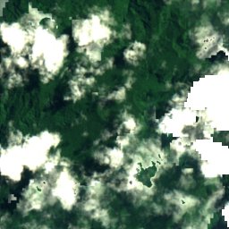
Fuipisia Waterfall
Waterfall · 240 m
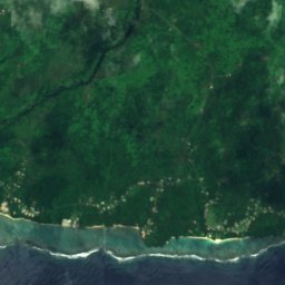
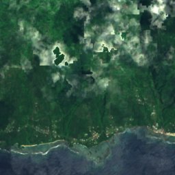
Satellite: Sentinel-2 cloudless 2016 by EOX IT Services GmbH · CC BY 4.0 · Contains modified Copernicus Sentinel data 2016
Sopoaga Falls
Waterfall · 135 m



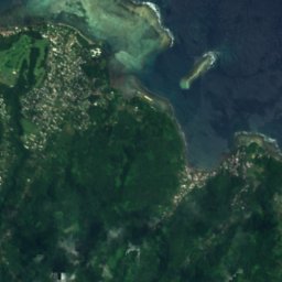
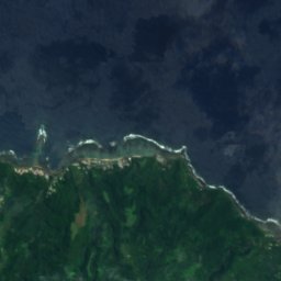
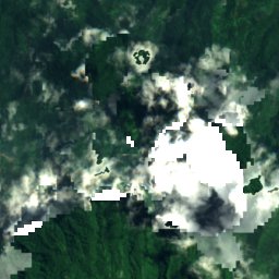
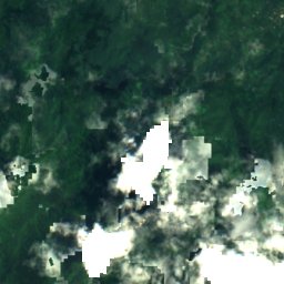
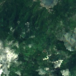
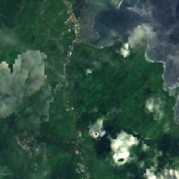
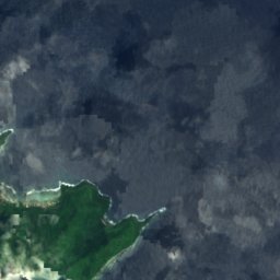
Satellite: Sentinel-2 cloudless 2016 by EOX IT Services GmbH · CC BY 4.0 · Contains modified Copernicus Sentinel data 2016
Falefa Falls
Waterfall · 25 m
Mountains
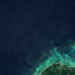
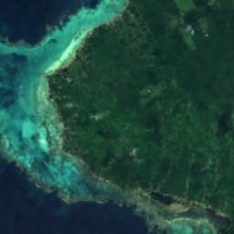
Satellite: Sentinel-2 cloudless 2016 by EOX IT Services GmbH · CC BY 4.0 · Contains modified Copernicus Sentinel data 2016
Mount Fiamoe
585 m
Satellite: Sentinel-2 cloudless 2016 by EOX IT Services GmbH · CC BY 4.0 · Contains modified Copernicus Sentinel data 2016
Mount Savai'i
426 m
Heritage







Satellite: Sentinel-2 cloudless 2016 by EOX IT Services GmbH · CC BY 4.0 · Contains modified Copernicus Sentinel data 2016
Fagaloa Bay – Uafato Tiavea Conservation Zone
Tentative World Heritage Site