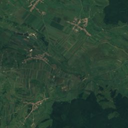
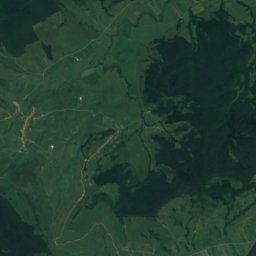
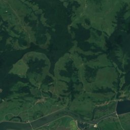
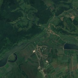
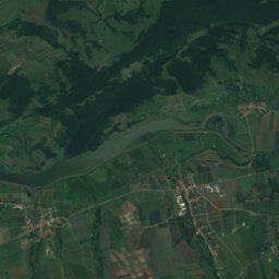
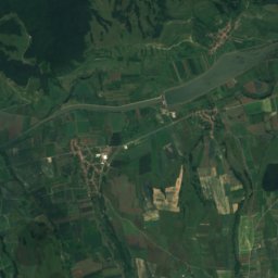
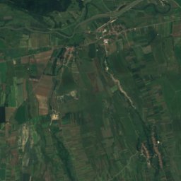
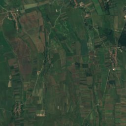
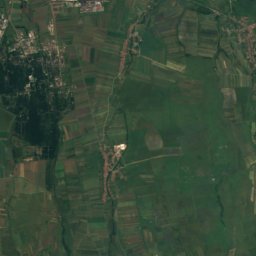
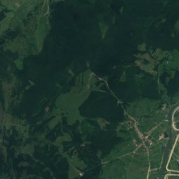
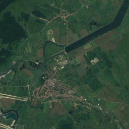
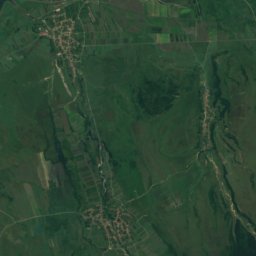
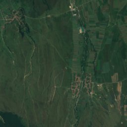
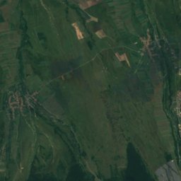
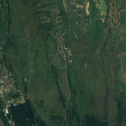
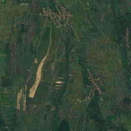
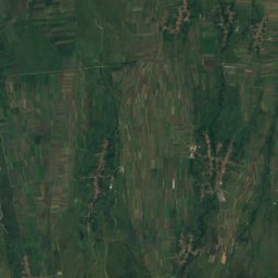
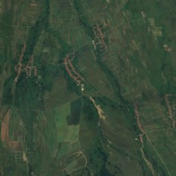
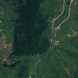
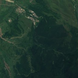
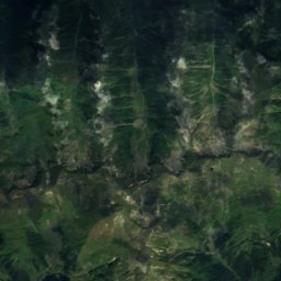
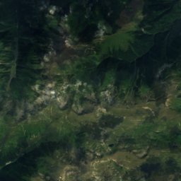
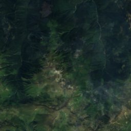
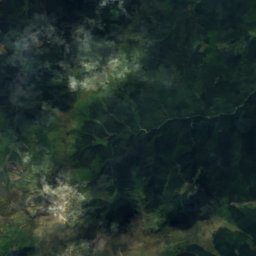
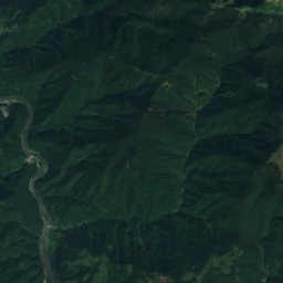
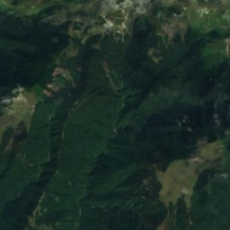
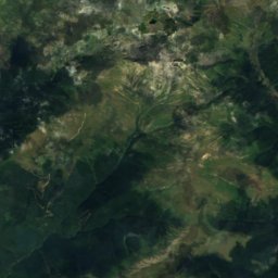
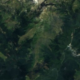
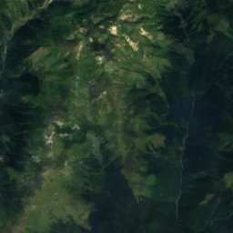
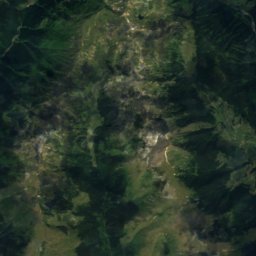
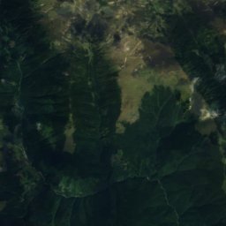
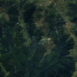
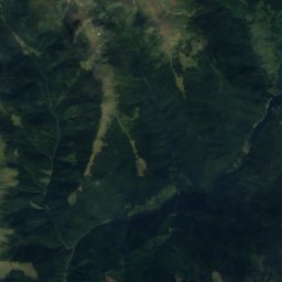
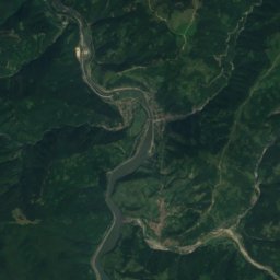
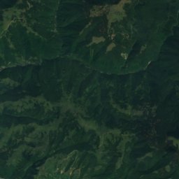
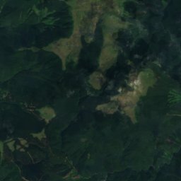
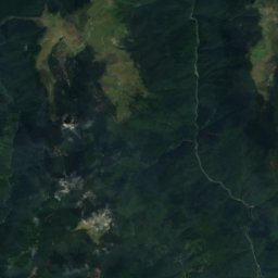
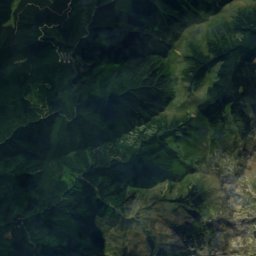
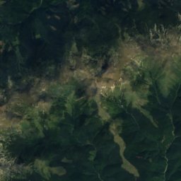
Satellite: Sentinel-2 cloudless 2016 by EOX IT Services GmbH · CC BY 4.0 · Contains modified Copernicus Sentinel data 2016

Photo: Amorphisman · CC BY-SA 3.0 · Wikimedia Commons
Moldoveanu PeakReport this photo · linked, not stored
Moldoveanu PeakMoldoveanu PeakReport this photo · linked, not stored

Photo: Civilistul at English Wikipedia · Public domain · Wikimedia Commons
Negoiu PeakReport this photo · linked, not stored
Negoiu PeakNegoiu PeakReport this photo · linked, not stored

Photo: Original uploader was Utilizator:Mitrutpopoiu at ro.wikipedia · Public domain · Wikimedia Commons
Vistea MareReport this photo · linked, not stored
Vistea MareVistea MareReport this photo · linked, not stored

Photo: Original uploader was Utilizator:Mitrutpopoiu at ro.wikipedia · Public domain · Wikimedia Commons
Lespezi (mountain)Report this photo · linked, not stored
Lespezi (mountain)Lespezi (mountain)Report this photo · linked, not stored
Brașov County · RomaniaSummit weather, forecast and climate
Corabia
2,342 mSnow likely Jan–Apr · Oct–Dec
Elevation2,342 mabove sea level
Prominence–independent height
Isolation0.9 kmto a higher summit
Summit, Jul12°average high
45.60° N, 24.71° EElevation 2,342 mUTC+3 · Eastern European Summer Time
From the valley to the top
- Summit2,342 m
- Mid-mountain1,450 m
- Valley · Victoria551 m
Freezing level in October: above the summit
iThe mountain
Corabia in brief
Corabia rises to 2,342 m, Brașov County, Romania.
At the summit, August is the mildest month with average highs of 12°, while nights fall below freezing in 8 months of the year. Daytime highs climb above zero from April to October.
The nearest town in the atlas is Victoria, 14 km to the N at 551 m.
Facts
- Elevation
- 2,342 m · 7,684 ft
- Region
- Brașov County
- Country
- Romania
- Coordinates
- 45.6042, 24.7104
- Nearest airport
- Sibiu International Airport (SBZ) · 53 km
iiForecast
Weather at three heights
Temperatures are adjusted to each height; summits are usually colder and windier than the valley forecast suggests.
Loading the latest forecast…
Loading the latest forecast…
Loading the latest forecast…
iiiSummit climate
The top of Corabia by month
Summit temperatures and precipitation
Climate normals for the summit area (~1 km grid), station-adjusted| Month | Jan | Feb | Mar | Apr | May | Jun | Jul | Aug | Sep | Oct | Nov | Dec |
|---|---|---|---|---|---|---|---|---|---|---|---|---|
| Average high | -7° | -7° | -4° | 1° | 6° | 9° | 12° | 12° | 7° | 4° | -1° | -5° |
| Average low | -13° | -13° | -11° | -6° | -1° | 3° | 5° | 5° | 1° | -3° | -7° | -11° |
| Precipitation | 74 mm | 74 mm | 89 mm | 103 mm | 152 mm | 197 mm | 209 mm | 169 mm | 127 mm | 93 mm | 91 mm | 89 mm |
| Cloud cover | 49% | 52% | 51% | 49% | 45% | 41% | 33% | 30% | 38% | 40% | 47% | 50% |
| Daylight | 9h 05 | 10h 23 | 11h 51 | 13h 30 | 14h 54 | 15h 40 | 15h 22 | 14h 09 | 12h 35 | 11h 00 | 9h 32 | 8h 43 |
| Month score | 30 | 28 | 25 | 22 | 19 | 20 | 32 | 34 | 22 | 28 | 26 | 25 |
Snow and freezing level
Average height of the 0 °C level from the summit normals (6.5 °C per km); snow months have a summit mean at or below +1 °C| Month | Jan | Feb | Mar | Apr | May | Jun | Jul | Aug | Sep | Oct | Nov | Dec |
|---|---|---|---|---|---|---|---|---|---|---|---|---|
| Freezing level | 850 m | 800 m | 1,250 m | 1,950 m | 2,700 m | 3,250 m | 3,550 m | 3,600 m | 3,000 m | 2,400 m | 1,750 m | 1,100 m |
| Summit | ❄ snow | ❄ snow | ❄ snow | ❄ snow | above 0 °C | above 0 °C | above 0 °C | above 0 °C | above 0 °C | ❄ snow | ❄ snow | ❄ snow |
ivTerrain
Corabia in 3D
vNeighbours
Mountains of RomaniaPeaks nearby
| Mountain | Elevation | Prominence | Distance | July summit high |
|---|---|---|---|---|
| Moldoveanu Peak | 2,544 m | 2,042 m | 2.1 km E | 11° |
| Negoiu Peak | 2,535 m | – | 12 km W | 12° |
| Vistea Mare | 2,527 m | – | 2.0 km E | 11° |
| Lespezi (mountain) | 2,516 m | – | 11 km W | 11° |
| Cornu Caltunului | 2,510 m | – | 11 km W | 11° |
| Vânătoarea lui Buteanu | 2,507 m | – | 10 km W | 17° |
| Hartopul Darei | 2,506 m | – | 9.4 km E | 10° |
| Capra | 2,494 m | – | 6.0 km W | 11° |
viBase towns
Where to stay nearby
Satellite: Sentinel-2 cloudless 2016 by EOX IT Services GmbH · CC BY 4.0 · Contains modified Copernicus Sentinel data 2016
Victoria
Brașov County · 14 km N
16°Oct high
9wet days
65score

Photo: Țetcu Mircea Rareș · CC BY-SA 3.0 ro · Wikimedia CommonsReport this photo · linked, not stored
Cârțișoara
Sibiu County · 16 km NW
16°Oct high
9wet days
66score

Photo: Țetcu Mircea Rareș · CC BY-SA 3.0 ro · Wikimedia CommonsReport this photo · linked, not stored
Arpașu de Sus
Sibiu County · 16 km NW
16°Oct high
9wet days
68score

Around here
Victoria and around
Nature

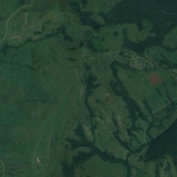
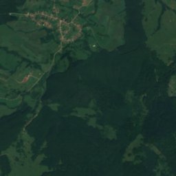
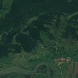
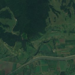
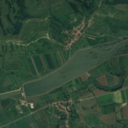
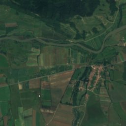
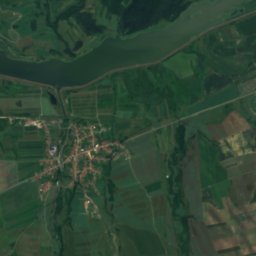
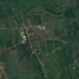
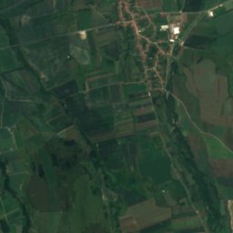
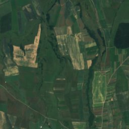
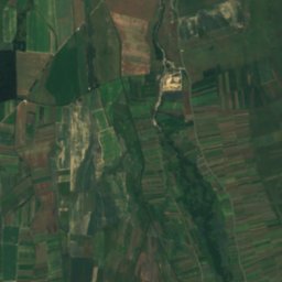
Satellite: Sentinel-2 cloudless 2016 by EOX IT Services GmbH · CC BY 4.0 · Contains modified Copernicus Sentinel data 2016
Drăguș River
River
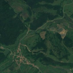
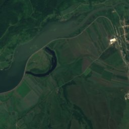
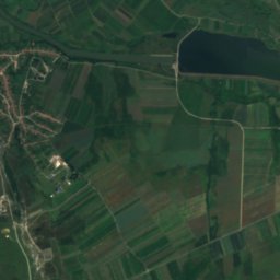
Satellite: Sentinel-2 cloudless 2016 by EOX IT Services GmbH · CC BY 4.0 · Contains modified Copernicus Sentinel data 2016
Ucea River
River
Mountains
Photo: Civilistul at English Wikipedia · Public domain · Wikimedia CommonsReport this photo · linked, not stored
Negoiu Peak
2,535 m · Făgăraș Mountains
Photo: Original uploader was Utilizator:Mitrutpopoiu at ro.wikipedia · Public domain · Wikimedia CommonsReport this photo · linked, not stored
Vistea Mare
2,527 m · Făgăraș Mountains


