
Photo: Scythian at Polish Wikipedia · Public domain · Wikimedia Commons
ŻarReport this photo · linked, not stored
ŻarReport this photo · linked, not stored

Photo: Petr Vilgus · CC BY 3.0 · Wikimedia Commons
Lomnický štítReport this photo · linked, not stored
Lomnický štítLomnický štítReport this photo · linked, not stored

Photo: Krzysztof Dudzik-Górnicki (User:ToSter) · CC BY 3.0 · Wikimedia Commons
Pyšný štítReport this photo · linked, not stored
Pyšný štítPyšný štítReport this photo · linked, not stored

Photo: Branork · CC BY-SA 2.5 · Wikimedia Commons
Malý Ľadový štítReport this photo · linked, not stored
Malý Ľadový štítMalý Ľadový štítReport this photo · linked, not stored

Photo: Krzysztof Dudzik-Górnicki · CC BY 3.0 · Wikimedia Commons
LoktibradaReport this photo · linked, not stored
LoktibradaLoktibradaReport this photo · linked, not stored
Pieniny Spiskie mountains · Lesser Poland · PolandSummit weather, forecast and climate
Żar
883 mSnow likely Jan–Feb · Dec
Elevation883 mabove sea level
Prominence–independent height
Isolation5.9 kmto a higher summit
Summit, Jul23°average high
49.42° N, 20.20° EElevation 883 mUTC+1 · Central European Standard Time
From the valley to the top
- Summit883 m
- Mid-mountain710 m
- Valley · Frydman530 m
Freezing level in October: above the summit
iThe mountain
Żar in brief
Żar rises to 883 m in the Pieniny Spiskie mountains, Lesser Poland, Poland.
At the summit, August is the mildest month with average highs of 23°, while nights fall below freezing in 5 months of the year.
The nearest town is Dursztyn, 0.8 km to the SW at 727 m.
Facts
- Elevation
- 883 m · 2,897 ft
- Range
- Pieniny Spiskie mountains
- Region
- Lesser Poland
- Country
- Poland
- Coordinates
- 49.4183, 20.2000
- Nearest airport
- Poprad-Tatry Airport (TAT) · 39 km
iiForecast
Weather at three heights
Temperatures are adjusted to each height; summits are usually colder and windier than the valley forecast suggests.
Loading the latest forecast…
Loading the latest forecast…
Loading the latest forecast…
iiiSummit climate
The top of Żar by month
Summit temperatures and precipitation
Climate normals for the summit area (~1 km grid), station-adjusted| Month | Jan | Feb | Mar | Apr | May | Jun | Jul | Aug | Sep | Oct | Nov | Dec |
|---|---|---|---|---|---|---|---|---|---|---|---|---|
| Average high | 1° | 3° | 7° | 13° | 18° | 21° | 23° | 23° | 18° | 13° | 7° | 2° |
| Average low | -6° | -6° | -2° | 2° | 6° | 10° | 11° | 11° | 7° | 3° | -1° | -5° |
| Precipitation | 63 mm | 58 mm | 72 mm | 77 mm | 125 mm | 149 mm | 160 mm | 130 mm | 103 mm | 71 mm | 74 mm | 67 mm |
| Cloud cover | 50% | 53% | 50% | 44% | 44% | 43% | 39% | 38% | 44% | 45% | 51% | 53% |
| Daylight | 8h 37 | 10h 08 | 11h 50 | 13h 43 | 15h 19 | 16h 14 | 15h 52 | 14h 28 | 12h 39 | 10h 51 | 9h 09 | 8h 12 |
| Month score | 32 | 32 | 30 | 48 | 60 | 62 | 63 | 64 | 66 | 48 | 29 | 30 |
Snow and freezing level
Average height of the 0 °C level from the summit normals (6.5 °C per km); snow months have a summit mean at or below +1 °C| Month | Jan | Feb | Mar | Apr | May | Jun | Jul | Aug | Sep | Oct | Nov | Dec |
|---|---|---|---|---|---|---|---|---|---|---|---|---|
| Freezing level | 500 m | 700 m | 1,250 m | 2,050 m | 2,750 m | 3,250 m | 3,500 m | 3,500 m | 2,800 m | 2,100 m | 1,400 m | 650 m |
| Summit | ❄ snow | ❄ snow | above 0 °C | above 0 °C | above 0 °C | above 0 °C | above 0 °C | above 0 °C | above 0 °C | above 0 °C | above 0 °C | ❄ snow |
ivTerrain
Żar in 3D
vNeighbours
Mountains of PolandPeaks nearby
| Mountain | Elevation | Prominence | Distance | July summit high |
|---|---|---|---|---|
| Lomnický štít | 2,634 m | 434 m | 24 km S | 12° |
| Ľadový štít | 2,627 m | – | 24 km S | 9° |
| Pyšný štít | 2,621 m | 123 m | 25 km S | 9° |
| Malý Ľadový štít | 2,603 m | – | 25 km S | 9° |
| Malý Pyšný štít | 2,590 m | – | 24 km S | 9° |
| Loktibrada | 2,575 m | – | 25 km S | 9° |
| Strapatá veža | 2,565 m | – | 25 km S | 9° |
| Posledná veža | 2,560 m | – | 25 km S | 9° |
viBase towns
Where to stay nearby

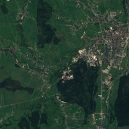
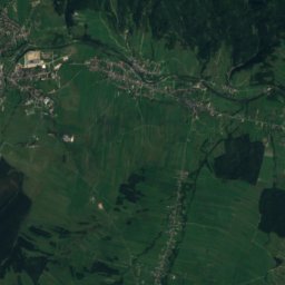
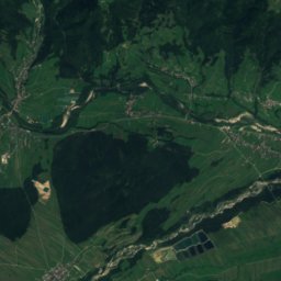
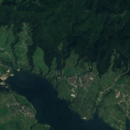
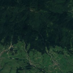
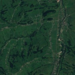
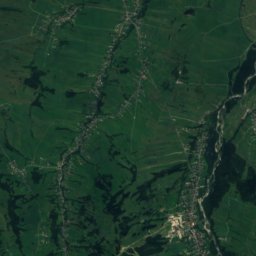
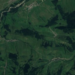
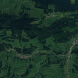
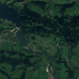
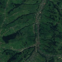
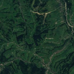
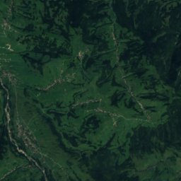
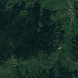
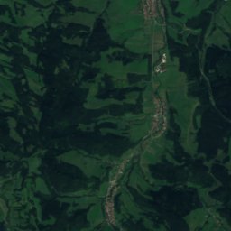
Satellite: Sentinel-2 cloudless 2016 by EOX IT Services GmbH · CC BY 4.0 · Contains modified Copernicus Sentinel data 2016
Łapsze Wyżne
Lesser Poland · 2.7 km S
13°Oct high
10wet days
44score


Around here
Dursztyn and around
Nature

Photo: pl:Wikipedysta:Mariusz G · Public domain · Wikimedia CommonsReport this photo · linked, not stored
Lake Czorsztyn
Lake · 523 m


Mountains


Heritage

Church of St. Peter and Paul (Matiašovce)
cultural heritage of Slovakia · 1300
Satellite: Sentinel-2 cloudless 2016 by EOX IT Services GmbH · CC BY 4.0 · Contains modified Copernicus Sentinel data 2016
St. Michael Archangel's Church in Dębno
immovable monument in Poland · 1500

Photo: Photo: Marcin Konsek / Wikimedia Commons · CC BY-SA 4.0 · Wikimedia CommonsReport this photo · linked, not stored
Saint Quirinus church in Łapsze Niżne
immovable monument in Poland · 1400
Museums


Photo: Sebastian Dutkiewicz · CC BY-SA 3.0 pl · Wikimedia CommonsReport this photo · linked, not stored
