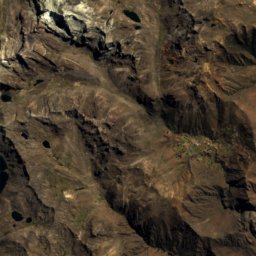
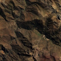
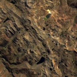
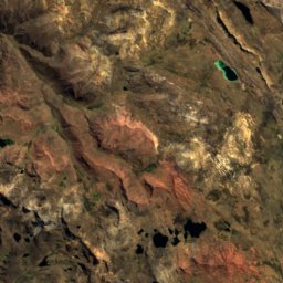
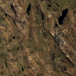
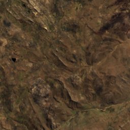
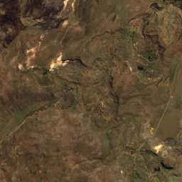
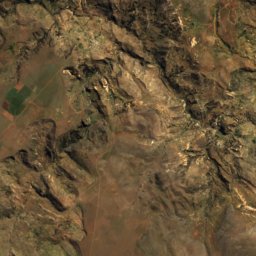
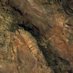
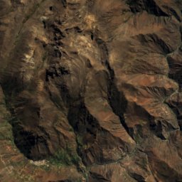
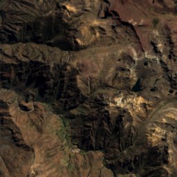
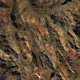
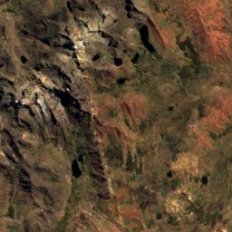
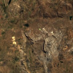
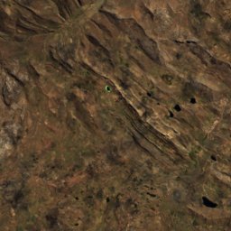
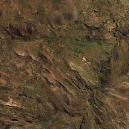
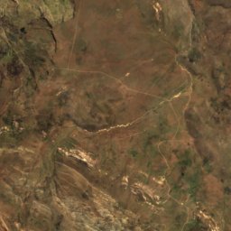
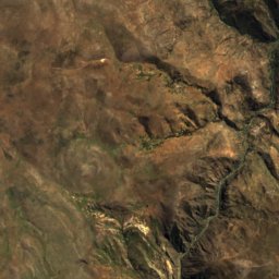
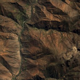
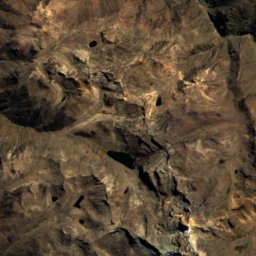
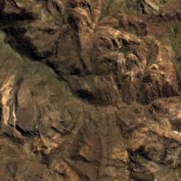
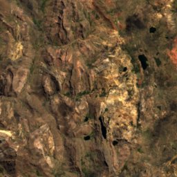
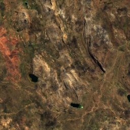
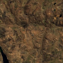
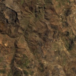
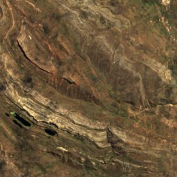
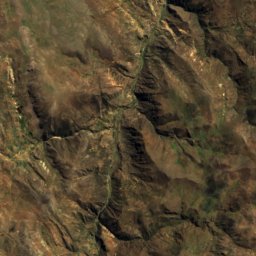
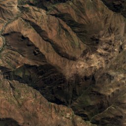
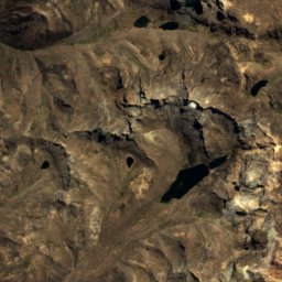
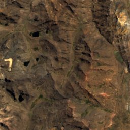
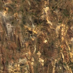
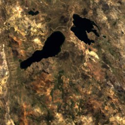
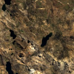
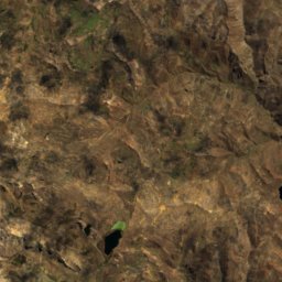
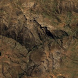
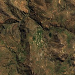
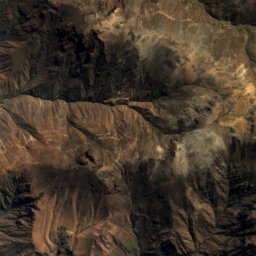
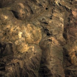
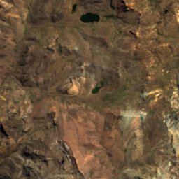
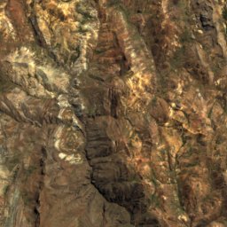
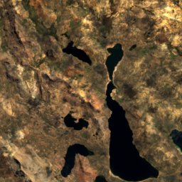
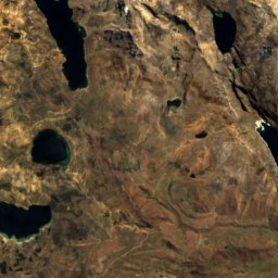
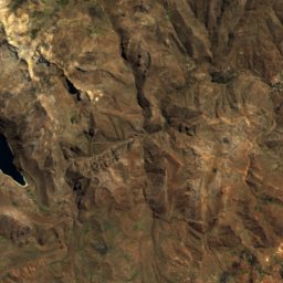
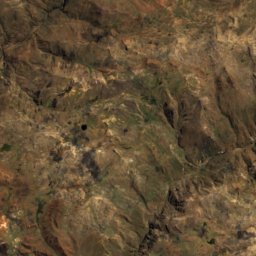
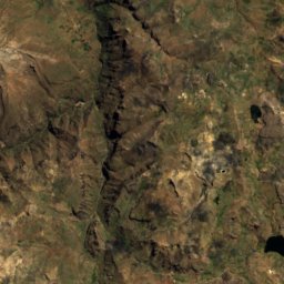
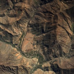
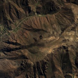
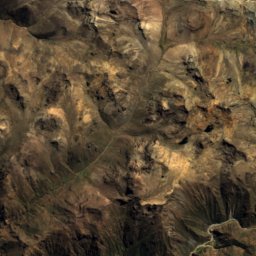
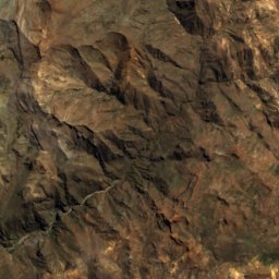
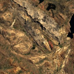
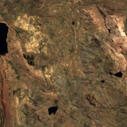
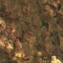
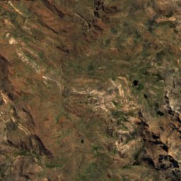
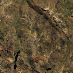
Satellite: Sentinel-2 cloudless 2016 by EOX IT Services GmbH · CC BY 4.0 · Contains modified Copernicus Sentinel data 2016
Andes · PeruSummit weather, forecast and climate
Walsa
4,800 mSnow likely Jun–Sep
Elevation4,800 mabove sea level
Prominence–independent height
Isolation1.6 kmto a higher summit
Summit, Jul6°average high
12.61° S, 75.47° WElevation 4,800 mUTC+0 · Coordinated Universal Time
From the valley to the top
- Summit4,800 m
- Mid-mountain4,200 m
- Valley3,600 m
Freezing level in October: above the summit
iThe mountain
Walsa in brief
Walsa rises to 4,800 m in the Andes, Peru.
At the summit, November is the mildest month with average highs of 8°, while nights stay below freezing all year.
Facts
- Elevation
- 4,800 m · 15,748 ft
- Range
- Andes
- Country
- Peru
- Coordinates
- -12.6086, -75.4717
- Nearest airport
- Francisco Carle Airport (JAU) · 92 km
iiForecast
Weather at three heights
Temperatures are adjusted to each height; summits are usually colder and windier than the valley forecast suggests.
Loading the latest forecast…
Loading the latest forecast…
Loading the latest forecast…
iiiSummit climate
The top of Walsa by month
Summit temperatures and precipitation
Climate normals for the summit area (~1 km grid), station-adjusted| Month | Jan | Feb | Mar | Apr | May | Jun | Jul | Aug | Sep | Oct | Nov | Dec |
|---|---|---|---|---|---|---|---|---|---|---|---|---|
| Average high | 7° | 7° | 7° | 7° | 7° | 6° | 6° | 6° | 6° | 7° | 8° | 7° |
| Average low | -2° | -2° | -2° | -2° | -4° | -5° | -6° | -6° | -4° | -4° | -3° | -3° |
| Precipitation | 213 mm | 203 mm | 197 mm | 93 mm | 35 mm | 23 mm | 24 mm | 35 mm | 72 mm | 128 mm | 114 mm | 182 mm |
| Cloud cover | 75% | 76% | 76% | 60% | 35% | 28% | 23% | 26% | 39% | 57% | 66% | 73% |
| Daylight | 12h 47 | 12h 30 | 12h 11 | 11h 49 | 11h 32 | 11h 23 | 11h 27 | 11h 41 | 12h 01 | 12h 22 | 12h 42 | 12h 52 |
| Month score | 6 | 6 | 6 | 20 | 46 | 52 | 51 | 48 | 34 | 14 | 12 | 7 |
Snow and freezing level
Average height of the 0 °C level from the summit normals (6.5 °C per km); snow months have a summit mean at or below +1 °C| Month | Jan | Feb | Mar | Apr | May | Jun | Jul | Aug | Sep | Oct | Nov | Dec |
|---|---|---|---|---|---|---|---|---|---|---|---|---|
| Freezing level | 5,200 m | 5,200 m | 5,250 m | 5,150 m | 5,000 m | 4,800 m | 4,800 m | 4,800 m | 4,950 m | 5,050 m | 5,100 m | 5,150 m |
| Summit | above 0 °C | above 0 °C | above 0 °C | above 0 °C | above 0 °C | ❄ snow | ❄ snow | ❄ snow | ❄ snow | above 0 °C | above 0 °C | above 0 °C |
ivTerrain
Walsa in 3D
vNeighbours
Mountains of PeruPeaks nearby
| Mountain | Elevation | Prominence | Distance | July summit high |
|---|---|---|---|---|
| Huch'uy Anqas | 5,182 m | – | 8.3 km SE | 5° |
| Kapillayuq | 5,129 m | – | 1.6 km E | 6° |
| Yawray | 5,112 m | – | 5.6 km W | 6° |
| Siq'i | 5,075 m | – | 18 km NW | 6° |
| Waqra Willka | 5,066 m | – | 17 km NE | 6° |
| Awki Sunqu | 5,050 m | – | 16 km W | 6° |
| Puka Rumi | 5,000 m | – | 4.5 km SE | 5° |
| Angascocha | 5,000 m | – | 7.1 km SE | 5° |