

Photo: Alexandre Buisse (Nattfodd) · CC BY-SA 3.0 · Wikimedia Commons
ChachaniReport this photo · linked, not stored
ChachaniChachaniReport this photo · linked, not stored
Cordillera Volcanic · Arequipa · PeruSummit weather, forecast and climate
Misti
Volcano5,825 mUltra-prominent peakSnow likely Jan–Apr · Nov–Dec
Elevation5,825 mabove sea level
Prominence1,785 mindependent height
Isolation17 kmto a higher summit
Summit, Jul4°average high
16.30° S, 71.41° WElevation 5,825 mUTC−5 · Peru Standard Time
From the valley to the top
- Summit5,825 m
- Mid-mountain4,140 m
- Valley · Selva Alegre2,455 m
Freezing level in October: above the summit
iThe mountain
Misti in brief
Misti rises to 5,825 m in the Cordillera Volcanic, Arequipa, Peru. Its topographic prominence — the height it stands above the lowest contour enclosing a higher summit — is 1,785 m, which makes it an ultra-prominent peak.
At the summit, October is the mildest month with average highs of 6°, while nights stay below freezing all year.
The nearest town in the atlas is Selva Alegre, 15 km to the SW at 2,455 m.
iiForecast
Weather at three heights
Temperatures are adjusted to each height; summits are usually colder and windier than the valley forecast suggests.
Loading the latest forecast…
Loading the latest forecast…
Loading the latest forecast…
iiiSummit climate
The top of Misti by month
Summit temperatures and precipitation
Climate normals for the summit area (~1 km grid), station-adjusted| Month | Jan | Feb | Mar | Apr | May | Jun | Jul | Aug | Sep | Oct | Nov | Dec |
|---|---|---|---|---|---|---|---|---|---|---|---|---|
| Average high | 3° | 3° | 3° | 3° | 4° | 4° | 4° | 5° | 5° | 6° | 6° | 4° |
| Average low | -5° | -4° | -4° | -6° | -8° | -9° | -9° | -8° | -7° | -6° | -5° | -5° |
| Precipitation | 99 mm | 108 mm | 83 mm | 16 mm | 4 mm | 4 mm | 4 mm | 8 mm | 7 mm | 9 mm | 13 mm | 34 mm |
| Cloud cover | 75% | 70% | 67% | 49% | 24% | 17% | 13% | 15% | 22% | 42% | 55% | 67% |
| Daylight | 12h 59 | 12h 37 | 12h 12 | 11h 44 | 11h 21 | 11h 10 | 11h 15 | 11h 34 | 12h 00 | 12h 27 | 12h 52 | 13h 05 |
| Month score | 12 | 12 | 20 | 46 | 57 | 57 | 57 | 56 | 56 | 51 | 44 | 33 |
Snow and freezing level
Average height of the 0 °C level from the summit normals (6.5 °C per km); snow months have a summit mean at or below +1 °C| Month | Jan | Feb | Mar | Apr | May | Jun | Jul | Aug | Sep | Oct | Nov | Dec |
|---|---|---|---|---|---|---|---|---|---|---|---|---|
| Freezing level | 5,700 m | 5,750 m | 5,700 m | 5,650 m | 5,550 m | 5,450 m | 5,450 m | 5,600 m | 5,700 m | 5,850 m | 5,850 m | 5,800 m |
| Summit | ❄ snow | ❄ snow | ❄ snow | ❄ snow | freezing | freezing | freezing | freezing | freezing | above 0 °C | ❄ snow | ❄ snow |
ivTerrain
Misti in 3D
vNeighbours
Mountains of PeruPeaks nearby
| Mountain | Elevation | Prominence | Distance | July summit high |
|---|---|---|---|---|
| Chachani | 6,057 m | 1,963 m | 17 km NW | 3° |
| Pichu Pichu | 5,665 m | – | 24 km SE | 5° |
| Pukasaya (Arequipa) | 5,000 m | – | 22 km E | 6° |
viBase towns
Where to stay nearby
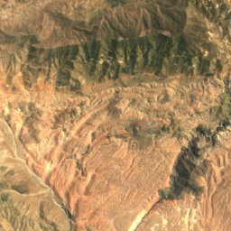
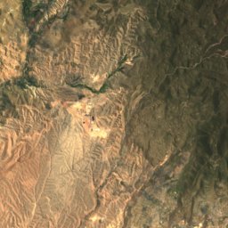
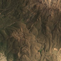
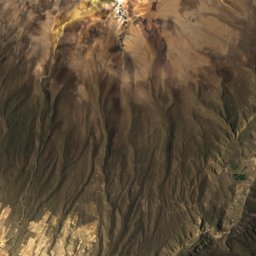
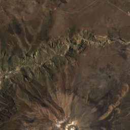
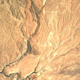
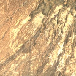
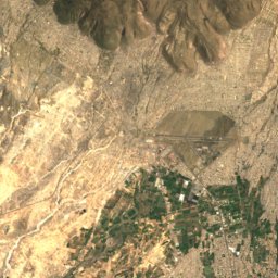
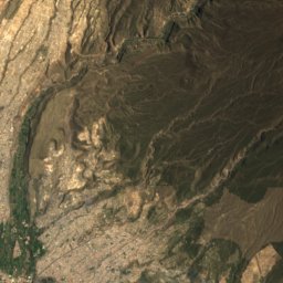
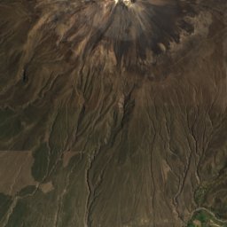
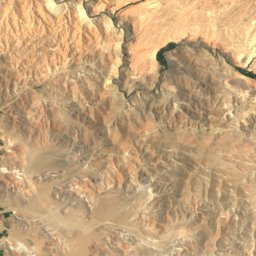
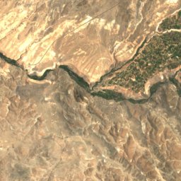
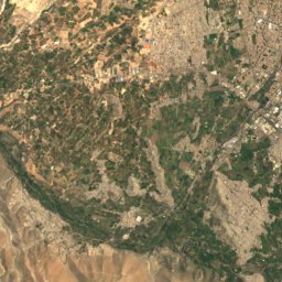
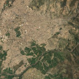
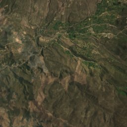
Satellite: Sentinel-2 cloudless 2016 by EOX IT Services GmbH · CC BY 4.0 · Contains modified Copernicus Sentinel data 2016
Selva Alegre
Arequipa · 15 km SW
22°Oct high
3wet days
91score

Photo: Unknown authorUnknown author · Public domain · Wikimedia CommonsReport this photo · linked, not stored
Miraflores
Arequipa · 16 km SW
22°Oct high
3wet days
91score

Around here
Selva Alegre and around
Satellite: Sentinel-2 cloudless 2016 by EOX IT Services GmbH · CC BY 4.0 · Contains modified Copernicus Sentinel data 2016
Selva Alegre
Arequipa · Peru
Jun–Augbest months
20°July high
2,455 maltitude
Mountains
Photo: Alexandre Buisse (Nattfodd) · CC BY-SA 3.0 · Wikimedia CommonsReport this photo · linked, not stored
Chachani
6,057 m · Cordillera Volcanic
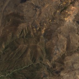
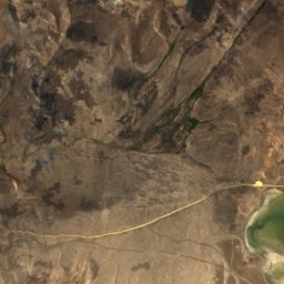
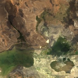
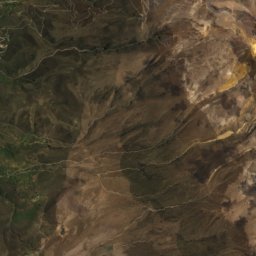
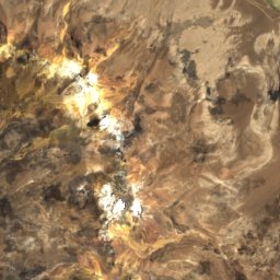
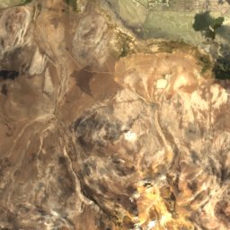
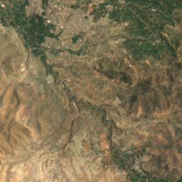
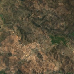
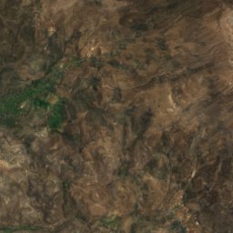
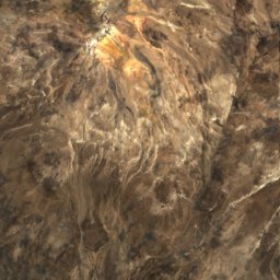
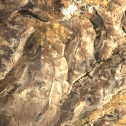
Satellite: Sentinel-2 cloudless 2016 by EOX IT Services GmbH · CC BY 4.0 · Contains modified Copernicus Sentinel data 2016
Pichu Pichu
5,665 m · Cordillera Volcanic
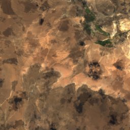
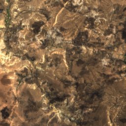
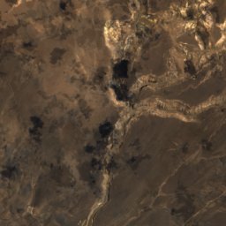
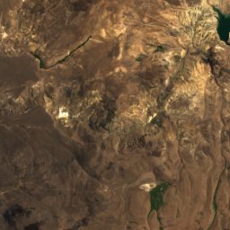
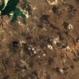
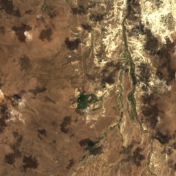
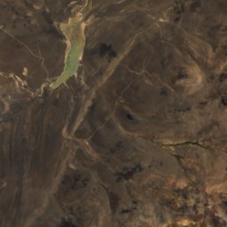
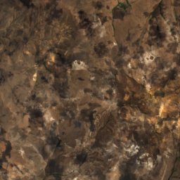
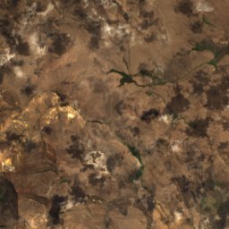
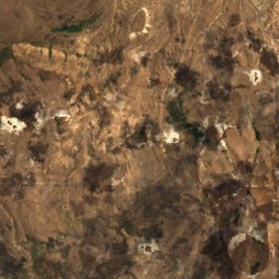
Satellite: Sentinel-2 cloudless 2016 by EOX IT Services GmbH · CC BY 4.0 · Contains modified Copernicus Sentinel data 2016
Pukasaya (Arequipa)
5,000 m · Andes
Heritage

Basilica and Convent of San Francisco de Arequipa
cultural heritage of Peru
Satellite: Sentinel-2 cloudless 2016 by EOX IT Services GmbH · CC BY 4.0 · Contains modified Copernicus Sentinel data 2016
Santa Catalina Monastery
cultural heritage of Peru · 1579
Satellite: Sentinel-2 cloudless 2016 by EOX IT Services GmbH · CC BY 4.0 · Contains modified Copernicus Sentinel data 2016
Hotel de turistas de Arequipa
cultural heritage of Peru
Museums

Satellite: Sentinel-2 cloudless 2016 by EOX IT Services GmbH · CC BY 4.0 · Contains modified Copernicus Sentinel data 2016
Museo de Santa Teresa


Satellite: Sentinel-2 cloudless 2016 by EOX IT Services GmbH · CC BY 4.0 · Contains modified Copernicus Sentinel data 2016
Casa Museo Mario Vargas Llosa
Historic house museum · 2014