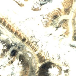
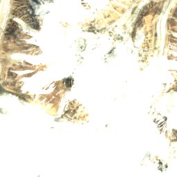
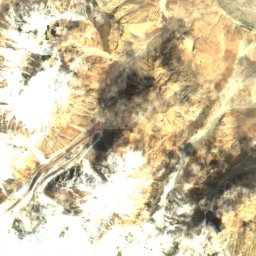
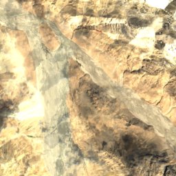
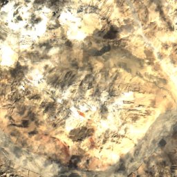
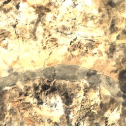
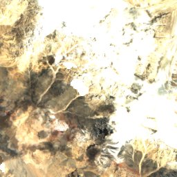
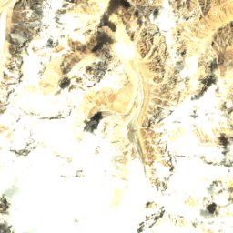
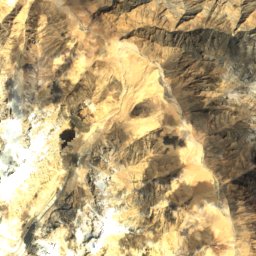
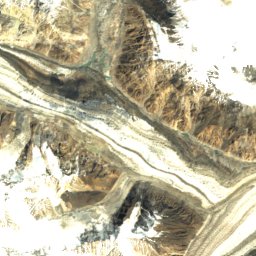
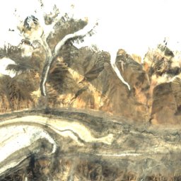
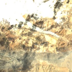
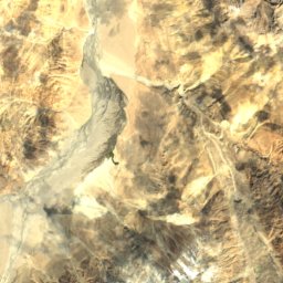
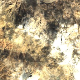

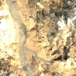
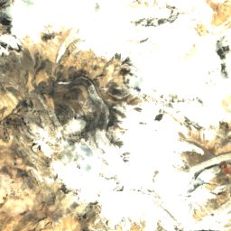
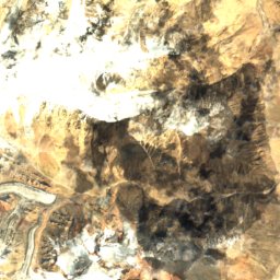
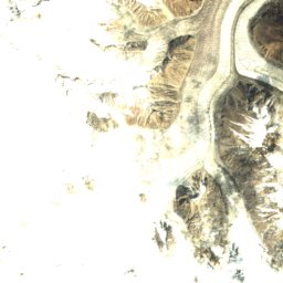
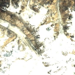
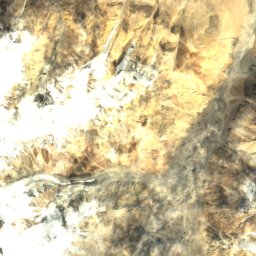
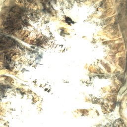
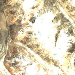
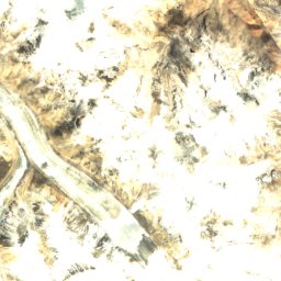
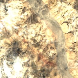

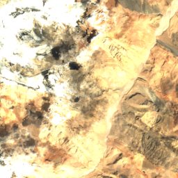

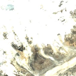
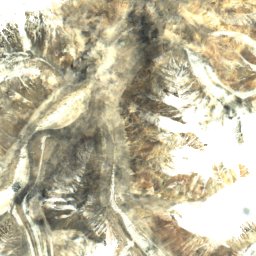



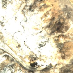
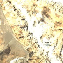
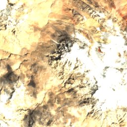

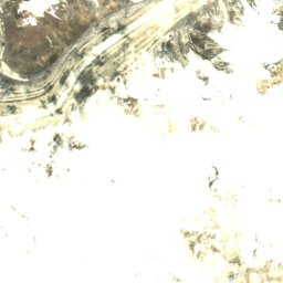




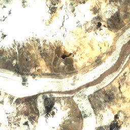
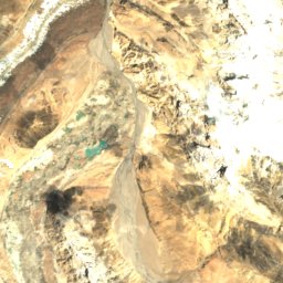

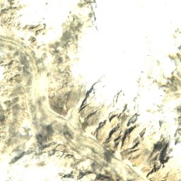


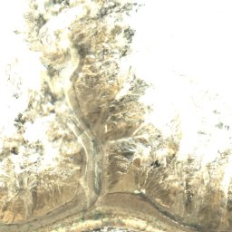
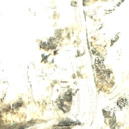


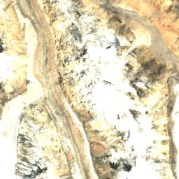
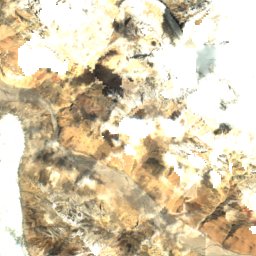
Satellite: Sentinel-2 cloudless 2016 by EOX IT Services GmbH · CC BY 4.0 · Contains modified Copernicus Sentinel data 2016
 K2


Photo: User:Flothias · CC BY 2.5 · Wikimedia Commons
Gasherbrum IVReport this photo · linked, not stored
Gasherbrum IVGasherbrum IVReport this photo · linked, not stored


Photo: Vittorio Sella · Public domain · Wikimedia Commons
Skil BrumReport this photo · linked, not stored
Skil BrumSkil BrumReport this photo · linked, not stored

Baltoro Muztagh · PakistanSummit weather, forecast and climate
Skyang Kangri
7,545 mMajor summitSnow likely Jan–Dec
Elevation7,545 mabove sea level
Prominence1,085 mindependent height
Isolation7.0 kmto a higher summit
Summit, Jul-9°average high
35.93° N, 76.57° EElevation 7,545 mUTC+0 · Coordinated Universal Time
From the valley to the top
- Summit7,545 m
- Mid-mountain6,950 m
- Valley6,345 m
Freezing level in October: 2,800 m
iThe mountain
Skyang Kangri in brief
Skyang Kangri rises to 7,545 m in the Baltoro Muztagh, Pakistan. Its topographic prominence — the height it stands above the lowest contour enclosing a higher summit — is 1,085 m, a major independent summit.
At the summit, August is the mildest month with average highs of -8°, while nights stay below freezing all year. Even daytime highs stay below zero in every month.
Facts
- Elevation
- 7,545 m · 24,754 ft
- Prominence
- 1,085 m
- Range
- Baltoro Muztagh
- Country
- Pakistan
- Coordinates
- 35.9267, 76.5672
- Nearest airport
- Skardu International Airport (KDU) · 114 km
iiForecast
Weather at three heights
Temperatures are adjusted to each height; summits are usually colder and windier than the valley forecast suggests.
Loading the latest forecast…
Loading the latest forecast…
Loading the latest forecast…
iiiSummit climate
The top of Skyang Kangri by month
Summit temperatures and precipitation
Climate normals for the summit area (~1 km grid), station-adjusted| Month | Jan | Feb | Mar | Apr | May | Jun | Jul | Aug | Sep | Oct | Nov | Dec |
|---|---|---|---|---|---|---|---|---|---|---|---|---|
| Average high | -36° | -34° | -29° | -24° | -19° | -14° | -9° | -8° | -15° | -25° | -31° | -34° |
| Average low | -43° | -41° | -38° | -35° | -31° | -27° | -19° | -17° | -27° | -37° | -41° | -43° |
| Precipitation | 75 mm | 82 mm | 86 mm | 87 mm | 70 mm | 36 mm | 47 mm | 46 mm | 36 mm | 28 mm | 29 mm | 54 mm |
| Cloud cover | 58% | 62% | 56% | 47% | 37% | 22% | 23% | 23% | 20% | 25% | 33% | 50% |
| Daylight | 9h 59 | 10h 53 | 11h 55 | 13h 05 | 14h 03 | 14h 35 | 14h 23 | 13h 33 | 12h 27 | 11h 19 | 10h 17 | 9h 44 |
| Month score | 26 | 22 | 24 | 27 | 36 | 48 | 45 | 45 | 48 | 50 | 49 | 35 |
Snow and freezing level
Average height of the 0 °C level from the summit normals (6.5 °C per km); snow months have a summit mean at or below +1 °C| Month | Jan | Feb | Mar | Apr | May | Jun | Jul | Aug | Sep | Oct | Nov | Dec |
|---|---|---|---|---|---|---|---|---|---|---|---|---|
| Freezing level | 1,500 m | 1,800 m | 2,400 m | 2,950 m | 3,650 m | 4,400 m | 5,450 m | 5,600 m | 4,300 m | 2,800 m | 2,000 m | 1,600 m |
| Summit | ❄ snow | ❄ snow | ❄ snow | ❄ snow | ❄ snow | ❄ snow | ❄ snow | ❄ snow | ❄ snow | ❄ snow | ❄ snow | ❄ snow |
ivTerrain
Skyang Kangri in 3D
vNeighbours
Mountains of PakistanPeaks nearby
| Mountain | Elevation | Prominence | Distance | July summit high |
|---|---|---|---|---|
| K2 | 8,611 m | 4,020 m | 7.0 km SW | -16° |
| Broad Peak | 8,051 m | 1,701 m | 13 km S | -13° |
| Gasherbrum II | 8,034 m | 1,524 m | 20 km S | -13° |
| Broad Peak Central | 8,011 m | 196 m | 12 km S | -14° |
| Gasherbrum III | 7,946 m | 355 m | 20 km S | -13° |
| Gasherbrum IV | 7,932 m | 715 m | 19 km S | -13° |
| Skil Brum | 7,410 m | 1,152 m | 16 km SW | -9° |
| Chongtar Kangri | 7,315 m | 1,300 m | 13 km W | -8° |