
Photo: NicaPlease · CC BY-SA 3.0 · Wikimedia Commons
Volcán Cerro NegroReport this photo · linked, not stored
Volcán Cerro NegroReport this photo · linked, not stored

Photo: BluesyPete · CC BY-SA 3.0 · Wikimedia Commons
Volcán Santa ClaraReport this photo · linked, not stored
Volcán Santa ClaraVolcán Santa ClaraReport this photo · linked, not stored
Cordillera Los Maribios · León Department · NicaraguaSummit weather, forecast and climate
Volcán Cerro Negro
Cinder cone · last major eruption 1992728 m
Elevation728 mabove sea level
Prominence–independent height
Isolation2.1 kmto a higher summit
Summit, Jul30°average high
12.51° N, 86.70° WElevation 728 mUTC−6 · Central Standard Time
From the valley to the top
- Summit728 m
- Mid-mountain420 m
- Valley · Malpaisillo119 m
Freezing level in October: above the summit
iThe mountain
Volcán Cerro Negro in brief
Volcán Cerro Negro rises to 728 m in the Cordillera Los Maribios, León Department, Nicaragua.
At the summit, April is the mildest month with average highs of 33°, while nights rarely fall below freezing.
The nearest town in the atlas is Malpaisillo, 9.9 km to the N at 119 m.
Facts
- Elevation
- 728 m · 2,388 ft
- Range
- Cordillera Los Maribios
- Region
- León Department
- Country
- Nicaragua
- Coordinates
- 12.5078, -86.7033
- Nearest airport
- Augusto C. Sandino (Managua) International Airport (MGA) · 71 km
iiForecast
Weather at three heights
Temperatures are adjusted to each height; summits are usually colder and windier than the valley forecast suggests.
Loading the latest forecast…
Loading the latest forecast…
Loading the latest forecast…
iiiSummit climate
The top of Volcán Cerro Negro by month
Summit temperatures and precipitation
Climate normals for the summit area (~1 km grid), station-adjusted| Month | Jan | Feb | Mar | Apr | May | Jun | Jul | Aug | Sep | Oct | Nov | Dec |
|---|---|---|---|---|---|---|---|---|---|---|---|---|
| Average high | 30° | 31° | 32° | 33° | 31° | 29° | 30° | 30° | 28° | 28° | 28° | 30° |
| Average low | 19° | 20° | 21° | 22° | 22° | 21° | 21° | 21° | 21° | 21° | 20° | 19° |
| Precipitation | 5 mm | 2 mm | 9 mm | 29 mm | 296 mm | 314 mm | 168 mm | 246 mm | 412 mm | 402 mm | 88 mm | 8 mm |
| Cloud cover | 9% | 10% | 13% | 23% | 49% | 61% | 50% | 49% | 59% | 51% | 33% | 16% |
| Daylight | 11h 28 | 11h 44 | 12h 03 | 12h 24 | 12h 42 | 12h 51 | 12h 47 | 12h 32 | 12h 12 | 11h 52 | 11h 33 | 11h 24 |
| Month score | 76 | 73 | 67 | 58 | 35 | 37 | 40 | 39 | 41 | 47 | 61 | 79 |
Snow and freezing level
Average height of the 0 °C level from the summit normals (6.5 °C per km); snow months have a summit mean at or below +1 °C| Month | Jan | Feb | Mar | Apr | May | Jun | Jul | Aug | Sep | Oct | Nov | Dec |
|---|---|---|---|---|---|---|---|---|---|---|---|---|
| Freezing level | 4,550 m | 4,650 m | 4,800 m | 4,950 m | 4,800 m | 4,600 m | 4,600 m | 4,650 m | 4,550 m | 4,450 m | 4,450 m | 4,500 m |
| Summit | above 0 °C | above 0 °C | above 0 °C | above 0 °C | above 0 °C | above 0 °C | above 0 °C | above 0 °C | above 0 °C | above 0 °C | above 0 °C | above 0 °C |
ivTerrain
Volcán Cerro Negro in 3D
vNeighbours
Mountains of NicaraguaPeaks nearby
| Mountain | Elevation | Prominence | Distance | July summit high |
|---|---|---|---|---|
| Volcán Momotombo | 1,297 m | – | 20 km SE | 27° |
| Volcán Las Pilas | 1,088 m | – | 2.2 km SE | 27° |
| Telica | 1,061 m | – | 19 km NW | 28° |
| Volcán del Hoyo | 974 m | – | 4.3 km SE | 27° |
| Volcán Las Pilas | 971 m | – | 2.1 km SE | 27° |
| Volcán Santa Clara | 844 m | – | 7.9 km NW | 29° |
| Cerro El Cacao, Malpaisillo | 838 m | – | 7.7 km NW | 28° |
| Volcán San Jacinto | 823 m | – | 17 km NW | 28° |
viBase towns
Where to stay nearby
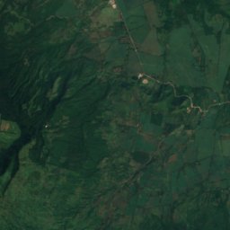
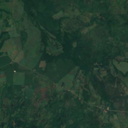
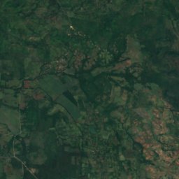
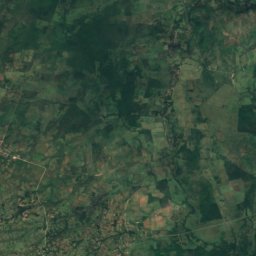
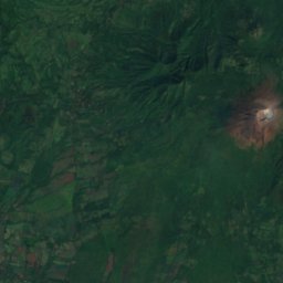
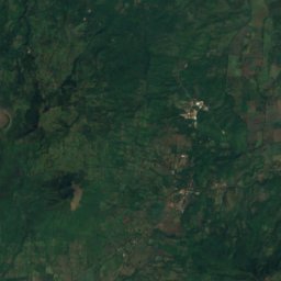
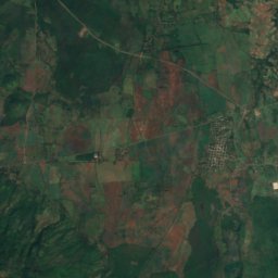
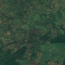
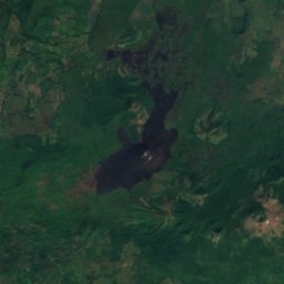
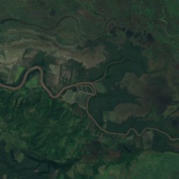
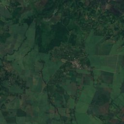
Satellite: Sentinel-2 cloudless 2016 by EOX IT Services GmbH · CC BY 4.0 · Contains modified Copernicus Sentinel data 2016
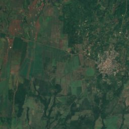
Malpaisillo
León Department · 9.9 km N
31°Oct high
23wet days
37score

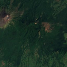
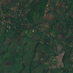
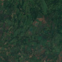
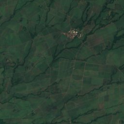
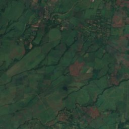
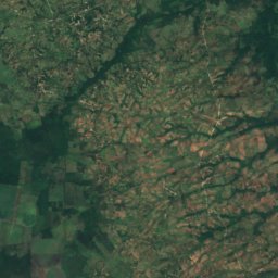
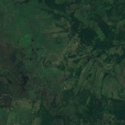
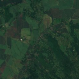
Satellite: Sentinel-2 cloudless 2016 by EOX IT Services GmbH · CC BY 4.0 · Contains modified Copernicus Sentinel data 2016
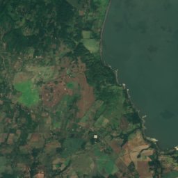
Telica
León Department · 17 km W
30°Oct high
23wet days
40score
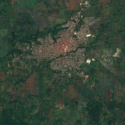
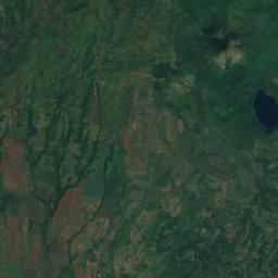
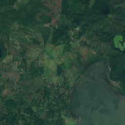
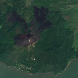
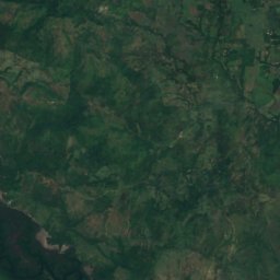
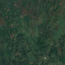
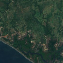
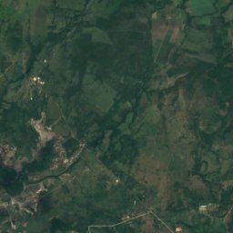
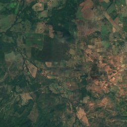
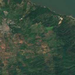
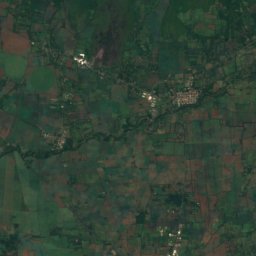
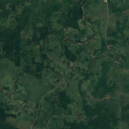
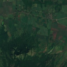
Satellite: Sentinel-2 cloudless 2016 by EOX IT Services GmbH · CC BY 4.0 · Contains modified Copernicus Sentinel data 2016
La Paz Centro
León Department · 19 km S
30°Oct high
24wet days
38score
Around here
Malpaisillo and around
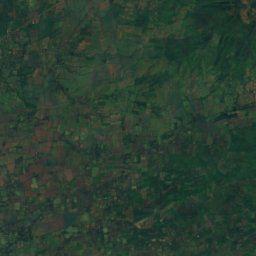
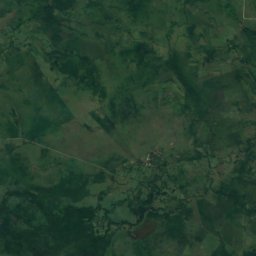
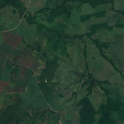
Satellite: Sentinel-2 cloudless 2016 by EOX IT Services GmbH · CC BY 4.0 · Contains modified Copernicus Sentinel data 2016
Malpaisillo
León Department · Nicaragua
Jan–Feb · Decbest months
33°July high
119 maltitude
Nature
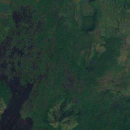
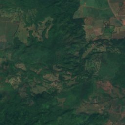
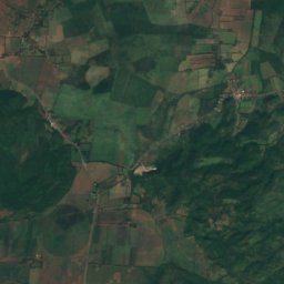
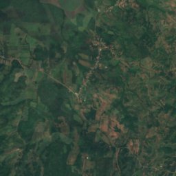
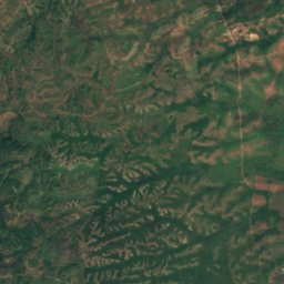
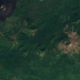
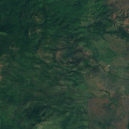
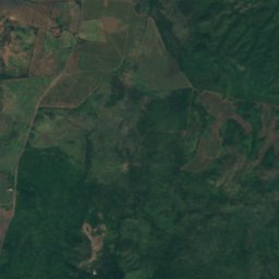
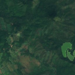
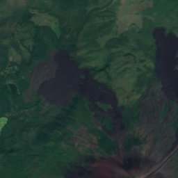
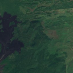
Satellite: Sentinel-2 cloudless 2016 by EOX IT Services GmbH · CC BY 4.0 · Contains modified Copernicus Sentinel data 2016
Laguna Agua Dulce
Lake · 64 m
Satellite: Sentinel-2 cloudless 2016 by EOX IT Services GmbH · CC BY 4.0 · Contains modified Copernicus Sentinel data 2016
Laguna El Cachital
Lake · 69 m
Mountains

Photo: Ryan Ballantyne --ryos 01:28, 18 June 2006 (UTC) · CC BY-SA 2.5 · Wikimedia CommonsReport this photo · linked, not stored
Volcán San Cristóbal
1,745 m · Cordillera Los Maribios
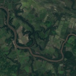
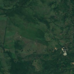
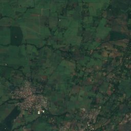
Satellite: Sentinel-2 cloudless 2016 by EOX IT Services GmbH · CC BY 4.0 · Contains modified Copernicus Sentinel data 2016
Casita Volcano
1,405 m · Cordillera Los Maribios
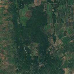
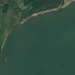


Satellite: Sentinel-2 cloudless 2016 by EOX IT Services GmbH · CC BY 4.0 · Contains modified Copernicus Sentinel data 2016
Volcán Momotombo
1,297 m · Cordillera Los Maribios