
Photo: Bruce Hayward · CC BY-SA 4.0 · Wikimedia Commons
Māngere MountainReport this photo · linked, not stored
Māngere MountainReport this photo · linked, not stored

Photo: russellstreet · CC BY-SA 2.0 · Wikimedia Commons
PukematekeoReport this photo · linked, not stored
PukematekeoPukematekeoReport this photo · linked, not stored

Photo: Bruce Hayward · CC BY-SA 4.0 · Wikimedia Commons
Rangitoto IslandReport this photo · linked, not stored
Rangitoto IslandRangitoto IslandReport this photo · linked, not stored

Photo: Techno246 · CC BY-SA 3.0 · Wikimedia Commons
Maungakiekie / One Tree HillReport this photo · linked, not stored
Maungakiekie / One Tree HillMaungakiekie / One Tree HillReport this photo · linked, not stored

Photo: Etherbug, Alan Collins · CC BY 3.0 · Wikimedia Commons
Maungawhau / Mount EdenReport this photo · linked, not stored
Maungawhau / Mount EdenMaungawhau / Mount EdenReport this photo · linked, not stored
Auckland · New ZealandSummit weather, forecast and climate
Māngere Mountain
Volcano105 m
Elevation105 mabove sea level
Prominence–independent height
Isolation5.5 kmto a higher summit
Summit, Jul13°average high
36.95° S, 174.78° EElevation 105 mUTC+13 · New Zealand Daylight Time
From the valley to the top
- Summit105 m
- Mid-mountain50 m
- Valley0 m
Freezing level in October: above the summit
iThe mountain
Māngere Mountain in brief
Māngere Mountain rises to 105 m, Auckland, New Zealand.
At the summit, February is the mildest month with average highs of 22°, while nights rarely fall below freezing.
The nearest town in the atlas is Onehunga, 3.5 km to the N at 59 m.
Facts
- Elevation
- 105 m · 344 ft
- Region
- Auckland
- Country
- New Zealand
- Coordinates
- -36.9496, 174.7831
- Nearest airport
- Auckland International Airport (AKL) · 6.9 km
iiForecast
Weather at three heights
Temperatures are adjusted to each height; summits are usually colder and windier than the valley forecast suggests.
Loading the latest forecast…
Loading the latest forecast…
Loading the latest forecast…
iiiSummit climate
The top of Māngere Mountain by month
Summit temperatures and precipitation
Climate normals for the summit area (~1 km grid), station-adjusted| Month | Jan | Feb | Mar | Apr | May | Jun | Jul | Aug | Sep | Oct | Nov | Dec |
|---|---|---|---|---|---|---|---|---|---|---|---|---|
| Average high | 22° | 22° | 21° | 19° | 16° | 14° | 13° | 14° | 15° | 16° | 18° | 20° |
| Average low | 17° | 18° | 16° | 14° | 12° | 11° | 9° | 10° | 11° | 12° | 14° | 16° |
| Precipitation | 74 mm | 73 mm | 81 mm | 93 mm | 113 mm | 126 mm | 142 mm | 122 mm | 104 mm | 99 mm | 84 mm | 94 mm |
| Cloud cover | 37% | 36% | 33% | 36% | 36% | 37% | 36% | 36% | 37% | 38% | 40% | 40% |
| Daylight | 14h 25 | 13h 28 | 12h 23 | 11h 10 | 10h 11 | 9h 38 | 9h 51 | 10h 41 | 11h 49 | 12h 59 | 14h 04 | 14h 40 |
| Month score | 77 | 77 | 76 | 72 | 58 | 45 | 40 | 42 | 52 | 60 | 72 | 70 |
Snow and freezing level
Average height of the 0 °C level from the summit normals (6.5 °C per km); snow months have a summit mean at or below +1 °C| Month | Jan | Feb | Mar | Apr | May | Jun | Jul | Aug | Sep | Oct | Nov | Dec |
|---|---|---|---|---|---|---|---|---|---|---|---|---|
| Freezing level | 3,050 m | 3,150 m | 2,950 m | 2,650 m | 2,300 m | 2,000 m | 1,850 m | 1,900 m | 2,050 m | 2,250 m | 2,500 m | 2,850 m |
| Summit | above 0 °C | above 0 °C | above 0 °C | above 0 °C | above 0 °C | above 0 °C | above 0 °C | above 0 °C | above 0 °C | above 0 °C | above 0 °C | above 0 °C |
ivTerrain
Māngere Mountain in 3D
vNeighbours
Mountains of New ZealandPeaks nearby
| Mountain | Elevation | Prominence | Distance | July summit high |
|---|---|---|---|---|
| Pukematekeo | 336 m | – | 23 km W | 12° |
| Rangitoto Island | 260 m | – | 19 km N | 13° |
| Maungakiekie / One Tree Hill | 213 m | – | 5.5 km N | 13° |
| Pukekiwiriki | 210 m | – | 23 km SE | 13° |
| Maungawhau / Mount Eden | 196 m | – | 8.1 km N | 13° |
| Ōhinerau / Mount Hobson | 143 m | – | 8.0 km N | 13° |
| Te Tātua a Riukiuta | 138 m | – | 5.8 km NW | 13° |
| Maungarei / Mount Wellington | 135 m | – | 8.5 km NE | 13° |
viBase towns
Where to stay nearby


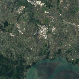
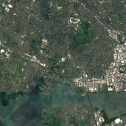
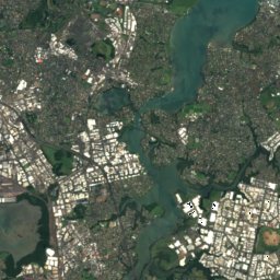
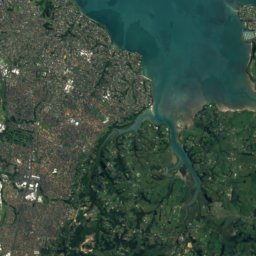
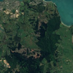
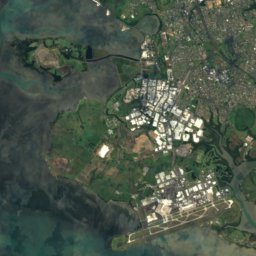
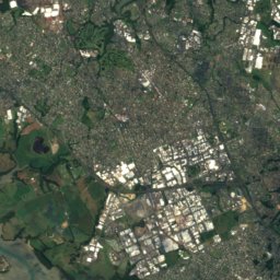
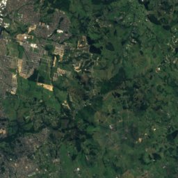
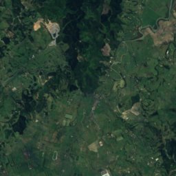
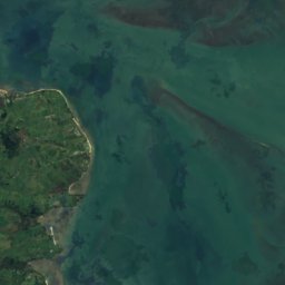
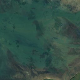
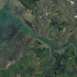
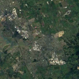
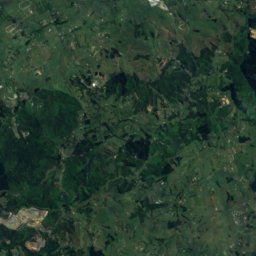
Satellite: Sentinel-2 cloudless 2016 by EOX IT Services GmbH · CC BY 4.0 · Contains modified Copernicus Sentinel data 2016
Manukau City
Auckland · 9.8 km SE
17°Oct high
14wet days
56score

Around here
Onehunga and around
Nature


Mountains
Heritage


Satellite: Sentinel-2 cloudless 2016 by EOX IT Services GmbH · CC BY 4.0 · Contains modified Copernicus Sentinel data 2016
Onehunga Primary School (Former)
Heritage New Zealand Category 1 historic place listing · 1876


Our Lady of the Assumption Catholic Church
Heritage New Zealand Category 2 historic place listing · 1889


Onehunga Blockhouse
Heritage New Zealand Category 1 historic place listing · 1860
Museums

Photo: GPS 56 from New Zealand · CC BY 2.0 · Wikimedia CommonsReport this photo · linked, not stored

Pah Homestead
Art museum · 1880

Photo: Daan Hoffmann / Auckland War Memorial Museum Tāmaki Paenga Hira · CC BY 2.0 · Wikimedia CommonsReport this photo · linked, not stored

Auckland War Memorial Museum Tāmaki Paenga Hira
Military museum · 1852

Photo: Ingolfson at English Wikipedia (Original text: Uploader.) · Public domain · Wikimedia CommonsReport this photo · linked, not stored

New Zealand Maritime Museum Hui Te Ananui a Tangaroa
Maritime museum · 1993