
Photo: Yann Crettaz · CC BY-SA 3.0 · Wikimedia Commons
Piton de la Petite Rivière NoireReport this photo · linked, not stored
Piton de la Petite Rivière NoireReport this photo · linked, not stored

Photo: Arne Müseler / www.arne-mueseler.com · CC BY-SA 3.0 de · Wikimedia Commons
Trou aux CerfsReport this photo · linked, not stored
Trou aux CerfsTrou aux CerfsReport this photo · linked, not stored
Black River · MauritiusSummit weather, forecast and climate
Piton de la Petite Rivière Noire
828 mMajor summit
Elevation828 mabove sea level
Prominence828 mindependent height
Isolation186 kmto a higher summit
Summit, Jul20°average high
20.41° S, 57.41° EElevation 828 mUTC+4 · Mauritius Standard Time
From the valley to the top
- Summit828 m
- Mid-mountain590 m
- Valley · Chamarel345 m
Freezing level in October: above the summit
iThe mountain
Piton de la Petite Rivière Noire in brief
Piton de la Petite Rivière Noire rises to 828 m, Black River, Mauritius. Its topographic prominence — the height it stands above the lowest contour enclosing a higher summit — is 828 m, a major independent summit.
At the summit, January is the mildest month with average highs of 26°, while nights rarely fall below freezing.
The nearest town in the atlas is Chamarel, 2.5 km to the SW at 345 m.
Facts
- Elevation
- 828 m · 2,717 ft
- Prominence
- 828 m
- Region
- Black River
- Country
- Mauritius
- Coordinates
- -20.4088, 57.4077
- Nearest airport
- Sir Seewoosagur Ramgoolam International Airport (MRU) · 29 km
iiForecast
Weather at three heights
Temperatures are adjusted to each height; summits are usually colder and windier than the valley forecast suggests.
Loading the latest forecast…
Loading the latest forecast…
Loading the latest forecast…
iiiSummit climate
The top of Piton de la Petite Rivière Noire by month
Summit temperatures and precipitation
Climate normals for the summit area (~1 km grid), station-adjusted| Month | Jan | Feb | Mar | Apr | May | Jun | Jul | Aug | Sep | Oct | Nov | Dec |
|---|---|---|---|---|---|---|---|---|---|---|---|---|
| Average high | 26° | 26° | 25° | 24° | 23° | 21° | 20° | 20° | 21° | 22° | 23° | 25° |
| Average low | 22° | 22° | 22° | 21° | 20° | 18° | 17° | 17° | 17° | 18° | 19° | 21° |
| Precipitation | 236 mm | 281 mm | 210 mm | 188 mm | 119 mm | 75 mm | 102 mm | 79 mm | 74 mm | 58 mm | 68 mm | 166 mm |
| Cloud cover | 39% | 40% | 35% | 31% | 24% | 22% | 25% | 25% | 24% | 26% | 24% | 33% |
| Daylight | 13h 14 | 12h 46 | 12h 14 | 11h 38 | 11h 09 | 10h 54 | 11h 00 | 11h 24 | 11h 58 | 12h 32 | 13h 04 | 13h 21 |
| Month score | 61 | 61 | 64 | 67 | 67 | 79 | 72 | 78 | 80 | 84 | 81 | 66 |
Snow and freezing level
Average height of the 0 °C level from the summit normals (6.5 °C per km); snow months have a summit mean at or below +1 °C| Month | Jan | Feb | Mar | Apr | May | Jun | Jul | Aug | Sep | Oct | Nov | Dec |
|---|---|---|---|---|---|---|---|---|---|---|---|---|
| Freezing level | 4,500 m | 4,500 m | 4,450 m | 4,350 m | 4,100 m | 3,800 m | 3,650 m | 3,650 m | 3,700 m | 3,900 m | 4,100 m | 4,350 m |
| Summit | above 0 °C | above 0 °C | above 0 °C | above 0 °C | above 0 °C | above 0 °C | above 0 °C | above 0 °C | above 0 °C | above 0 °C | above 0 °C | above 0 °C |
ivTerrain
Piton de la Petite Rivière Noire in 3D
vNeighbours
Mountains of MauritiusPeaks nearby
| Mountain | Elevation | Prominence | Distance | July summit high |
|---|---|---|---|---|
| Montagne Cocotte | 771 m | – | 7.4 km SE | 19° |
| Corps de Garde | 720 m | – | 18 km N | 21° |
| Trois Mamelles | 629 m | – | 12 km N | 21° |
| Trou aux Cerfs | 605 m | – | 15 km NE | 20° |
| Guiby Peak | 605 m | – | 25 km NE | 22° |
| Junction Peak | 192 m | – | 24 km N | 22° |
viBase towns
Where to stay nearby






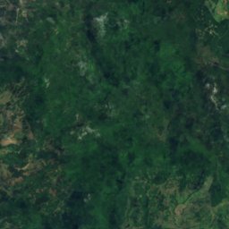
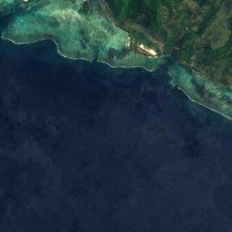
Satellite: Sentinel-2 cloudless 2016 by EOX IT Services GmbH · CC BY 4.0 · Contains modified Copernicus Sentinel data 2016
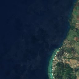
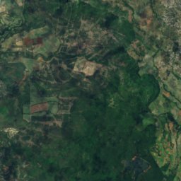
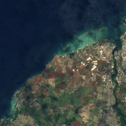
Petite Case Noyale
Black River · 3.9 km W
25°Oct high
4wet days
91score
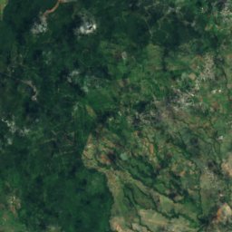
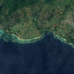
Satellite: Sentinel-2 cloudless 2016 by EOX IT Services GmbH · CC BY 4.0 · Contains modified Copernicus Sentinel data 2016
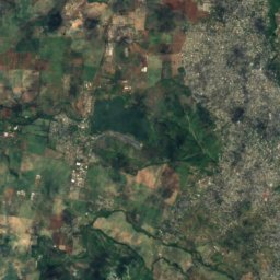
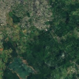
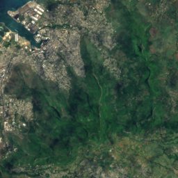
Grande Rivière Noire
Black River · 6.9 km NW
25°Oct high
4wet days
91score

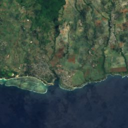
Photo: Arne Müseler / www.arne-mueseler.com · CC BY-SA 3.0 de · Wikimedia CommonsReport this photo · linked, not stored
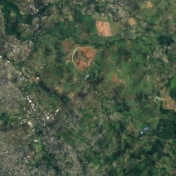
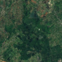
Tamarin
Black River · 10 km NW
25°Oct high
4wet days
90score
Around here
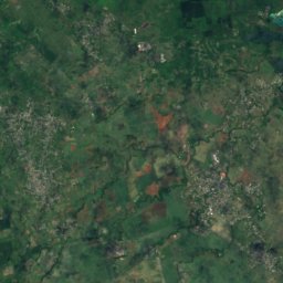
Chamarel and around
Nature


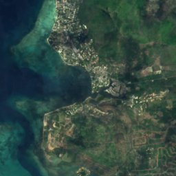
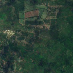
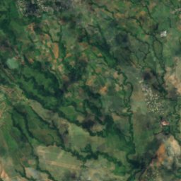
Satellite: Sentinel-2 cloudless 2016 by EOX IT Services GmbH · CC BY 4.0 · Contains modified Copernicus Sentinel data 2016
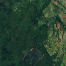
Ganga Talao
Lake · 700 m
Mountains


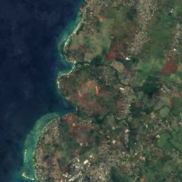
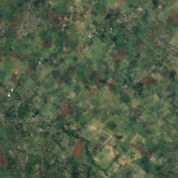
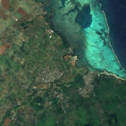

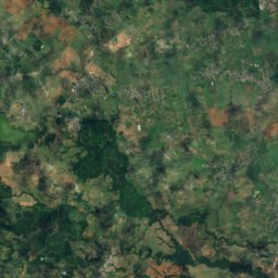
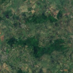
Satellite: Sentinel-2 cloudless 2016 by EOX IT Services GmbH · CC BY 4.0 · Contains modified Copernicus Sentinel data 2016
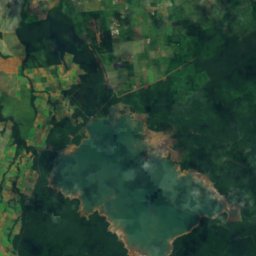
Pieter Both
820 m · Moka Range
Satellite: Sentinel-2 cloudless 2016 by EOX IT Services GmbH · CC BY 4.0 · Contains modified Copernicus Sentinel data 2016
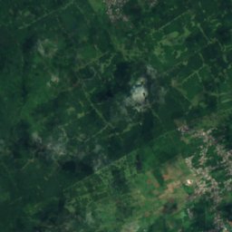
Le Pouce
812 m · Moka Range
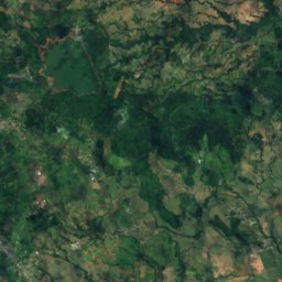
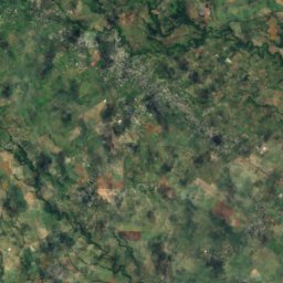

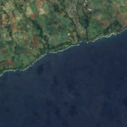
Satellite: Sentinel-2 cloudless 2016 by EOX IT Services GmbH · CC BY 4.0 · Contains modified Copernicus Sentinel data 2016
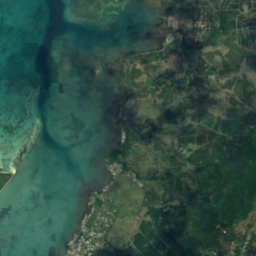
Montagne Cocotte
771 m
Heritage











Satellite: Sentinel-2 cloudless 2016 by EOX IT Services GmbH · CC BY 4.0 · Contains modified Copernicus Sentinel data 2016
Black River Gorges National Park
Tentative World Heritage Site · 1994


