
Photo: Erwin Franzen · Public domain · Wikimedia Commons
Qurnat as Sawda'Report this photo · linked, not stored
Qurnat as Sawda'Report this photo · linked, not stored
Mount Lebanon · North Lebanon · LebanonSummit weather, forecast and climate
Qurnat as Sawda'
3,088 mUltra-prominent peakSnow likely Jan–Apr · Nov–Dec
Elevation3,088 mabove sea level
Prominence2,393 mindependent height
Isolation–to a higher summit
Summit, Jul17°average high
34.30° N, 36.12° EElevation 3,088 mUTC+3 · Eastern European Summer Time
From the valley to the top
- Summit3,088 m
- Mid-mountain2,270 m
- Valley · Bsharri1,442 m
Freezing level in October: above the summit
iThe mountain
Qurnat as Sawda' in brief
Qurnat as Sawda' rises to 3,088 m in the Mount Lebanon, North Lebanon, Lebanon. Its topographic prominence — the height it stands above the lowest contour enclosing a higher summit — is 2,393 m, which makes it an ultra-prominent peak.
At the summit, August is the mildest month with average highs of 17°, while nights fall below freezing in 8 months of the year. Daytime highs climb above zero from April to November.
The nearest town in the atlas is Bsharri, 11 km to the SW at 1,442 m.
Facts
- Elevation
- 3,088 m · 10,131 ft
- Prominence
- 2,393 m
- Range
- Mount Lebanon
- Region
- North Lebanon
- Country
- Lebanon
- Coordinates
- 34.3000, 36.1167
- Nearest airport
- Beirut Rafic Hariri International Airport (BEY) · 79 km
iiForecast
Weather at three heights
Temperatures are adjusted to each height; summits are usually colder and windier than the valley forecast suggests.
Loading the latest forecast…
Loading the latest forecast…
Loading the latest forecast…
iiiSummit climate
The top of Qurnat as Sawda' by month
Summit temperatures and precipitation
Climate normals for the summit area (~1 km grid), station-adjusted| Month | Jan | Feb | Mar | Apr | May | Jun | Jul | Aug | Sep | Oct | Nov | Dec |
|---|---|---|---|---|---|---|---|---|---|---|---|---|
| Average high | -4° | -4° | 0° | 5° | 10° | 14° | 17° | 17° | 14° | 9° | 3° | -2° |
| Average low | -12° | -13° | -10° | -6° | -1° | 3° | 6° | 6° | 3° | -1° | -7° | -10° |
| Precipitation | 227 mm | 203 mm | 152 mm | 72 mm | 38 mm | 10 mm | 5 mm | 3 mm | 9 mm | 86 mm | 163 mm | 189 mm |
| Cloud cover | 31% | 31% | 28% | 24% | 14% | 2% | 1% | 1% | 3% | 15% | 25% | 32% |
| Daylight | 10h 06 | 10h 57 | 11h 56 | 13h 02 | 13h 56 | 14h 26 | 14h 14 | 13h 28 | 12h 25 | 11h 22 | 10h 24 | 9h 53 |
| Month score | 25 | 25 | 25 | 38 | 48 | 76 | 92 | 94 | 79 | 34 | 25 | 24 |
Snow and freezing level
Average height of the 0 °C level from the summit normals (6.5 °C per km); snow months have a summit mean at or below +1 °C| Month | Jan | Feb | Mar | Apr | May | Jun | Jul | Aug | Sep | Oct | Nov | Dec |
|---|---|---|---|---|---|---|---|---|---|---|---|---|
| Freezing level | 1,850 m | 1,800 m | 2,300 m | 3,050 m | 3,750 m | 4,400 m | 4,850 m | 4,850 m | 4,450 m | 3,700 m | 2,800 m | 2,150 m |
| Summit | ❄ snow | ❄ snow | ❄ snow | ❄ snow | above 0 °C | above 0 °C | above 0 °C | above 0 °C | above 0 °C | above 0 °C | ❄ snow | ❄ snow |
ivTerrain
Qurnat as Sawda' in 3D
viBase towns
Where to stay nearby

Photo: © Vyacheslav Argenberg / http://www.vascoplanet.com/ · CC BY 4.0 · Wikimedia CommonsReport this photo · linked, not stored
Bsharri
North Lebanon · 11 km SW
19°Oct high
5wet days
89score

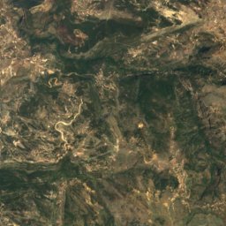
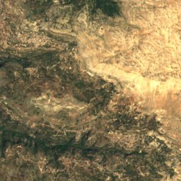
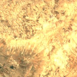
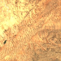
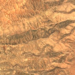
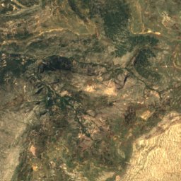
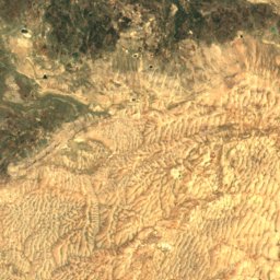
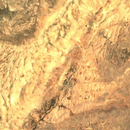
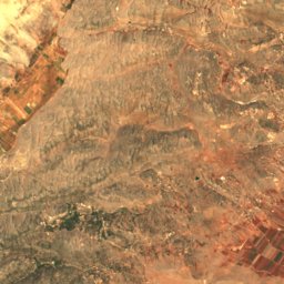
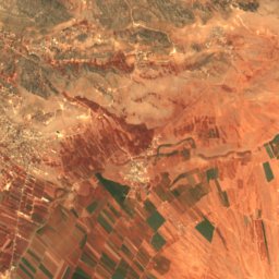
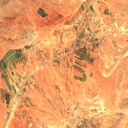
Satellite: Sentinel-2 cloudless 2016 by EOX IT Services GmbH · CC BY 4.0 · Contains modified Copernicus Sentinel data 2016
Aïnâta
Baalbek-Hermel Governorate · 13 km S
18°Oct high
5wet days
89score

Photo: © Vyacheslav Argenberg / http://www.vascoplanet.com/ · CC BY 4.0 · Wikimedia CommonsReport this photo · linked, not stored
Hadchit
North Lebanon · 13 km SW
20°Oct high
5wet days
89score
Around here
Bsharri and around
Photo: © Vyacheslav Argenberg / http://www.vascoplanet.com/ · CC BY 4.0 · Wikimedia CommonsReport this photo · linked, not stored
Bsharri
North Lebanon · Lebanon
Jun–Augbest months
25°July high
1,442 maltitude
Nature
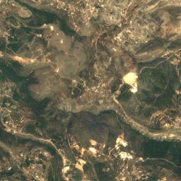
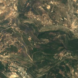
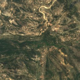
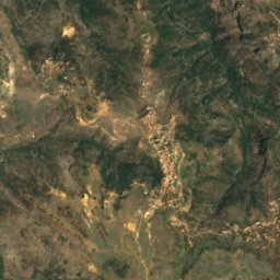
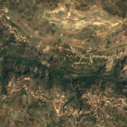
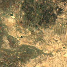
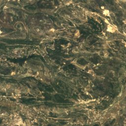
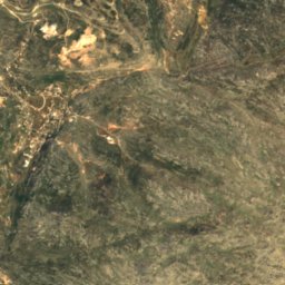
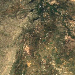
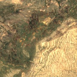
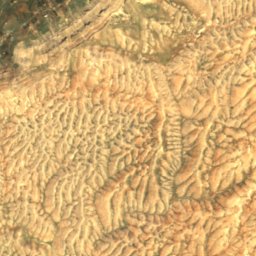
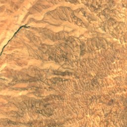
Satellite: Sentinel-2 cloudless 2016 by EOX IT Services GmbH · CC BY 4.0 · Contains modified Copernicus Sentinel data 2016
Nahr al-Jaouz
River
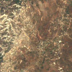
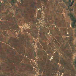
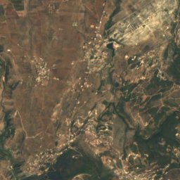
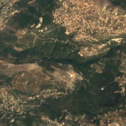
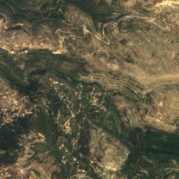
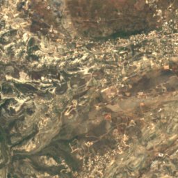
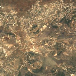
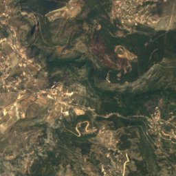
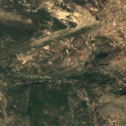
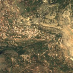
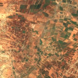
Satellite: Sentinel-2 cloudless 2016 by EOX IT Services GmbH · CC BY 4.0 · Contains modified Copernicus Sentinel data 2016
Delmass Cave
Cave
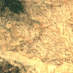
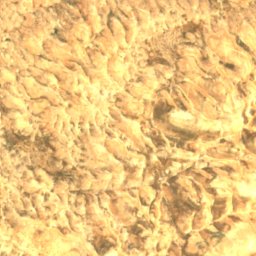
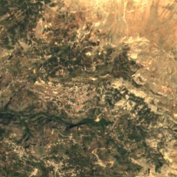
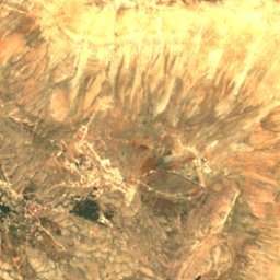
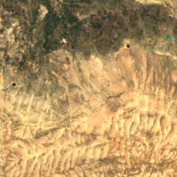
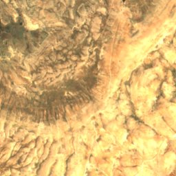
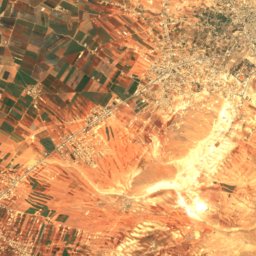
Satellite: Sentinel-2 cloudless 2016 by EOX IT Services GmbH · CC BY 4.0 · Contains modified Copernicus Sentinel data 2016
Haouet Nahr er Rab
Cave
Mountains
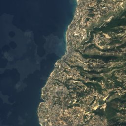
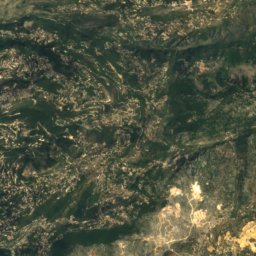
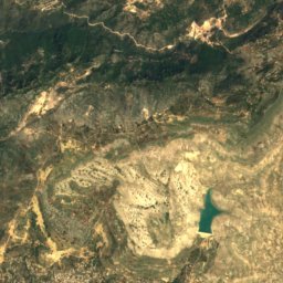
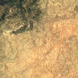
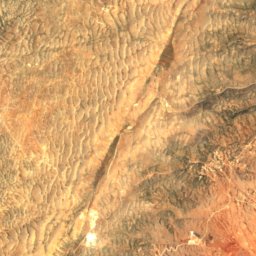
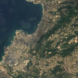
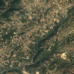
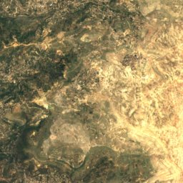
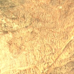
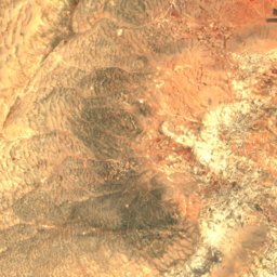
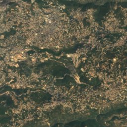
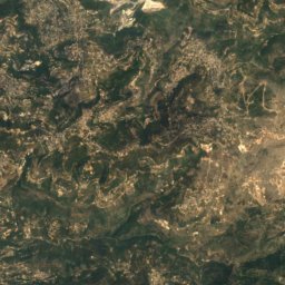
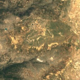
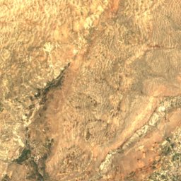
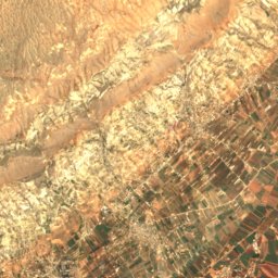
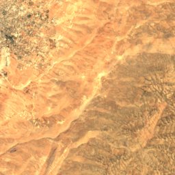
Satellite: Sentinel-2 cloudless 2016 by EOX IT Services GmbH · CC BY 4.0 · Contains modified Copernicus Sentinel data 2016
Mount Sannine
2,628 m · Mount Lebanon
Heritage

Photo: © Vyacheslav Argenberg / http://www.vascoplanet.com/ · CC BY 4.0 · Wikimedia CommonsReport this photo · linked, not stored
Kadisha Valley
part of UNESCO World Heritage Site


Satellite: Sentinel-2 cloudless 2016 by EOX IT Services GmbH · CC BY 4.0 · Contains modified Copernicus Sentinel data 2016
Cedars of God
part of UNESCO World Heritage Site
Museums

Photo: Xtcrider at English Wikipedia · Public domain · Wikimedia CommonsReport this photo · linked, not stored

Gibran Museum
Biographical museum · 1935