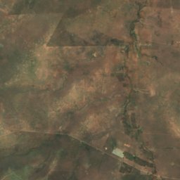
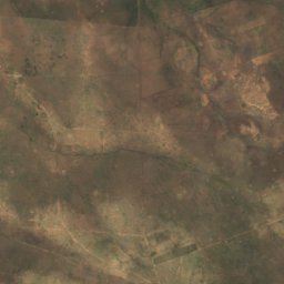
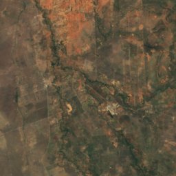
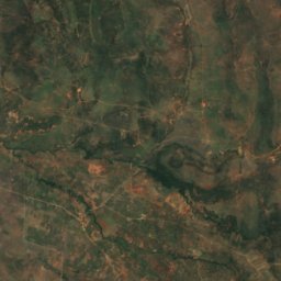
Photo: I, Ruud Zwart · CC BY-SA 2.5 nl · Wikimedia Commons
Mount KenyaReport this photo · linked, not stored
Mount KenyaReport this photo · linked, not stored
Mount Kilimanjaro · Laikipia · KenyaSummit weather, forecast and climate
Mount Kenya
5,199 mUltra-prominent peak
Elevation5,199 mabove sea level
Prominence3,825 mindependent height
Isolation–to a higher summit
Summit, Jul15°average high
0.10° S, 37.20° EElevation 5,199 mUTC+3 · East Africa Time
From the valley to the top
- Summit5,199 m
- Mid-mountain3,580 m
- Valley · Nanyuki1,951 m
Freezing level in October: above the summit
iThe mountain
Mount Kenya in brief
Mount Kenya rises to 5,199 m in the Mount Kilimanjaro, Laikipia, Kenya. Its topographic prominence — the height it stands above the lowest contour enclosing a higher summit — is 3,825 m, which makes it an ultra-prominent peak.
At the summit, March is the mildest month with average highs of 18°, while nights rarely fall below freezing.
The nearest town in the atlas is Nanyuki, 18 km to the NW at 1,951 m.
iiForecast
Weather at three heights
Temperatures are adjusted to each height; summits are usually colder and windier than the valley forecast suggests.
Loading the latest forecast…
Loading the latest forecast…
Loading the latest forecast…
iiiSummit climate
The top of Mount Kenya by month
Summit temperatures and precipitation
Climate normals for the summit area (~1 km grid), station-adjusted| Month | Jan | Feb | Mar | Apr | May | Jun | Jul | Aug | Sep | Oct | Nov | Dec |
|---|---|---|---|---|---|---|---|---|---|---|---|---|
| Average high | 17° | 18° | 18° | 18° | 17° | 16° | 15° | 15° | 16° | 17° | 16° | 16° |
| Average low | 8° | 8° | 9° | 10° | 9° | 8° | 7° | 7° | 8° | 8° | 9° | 8° |
| Precipitation | 120 mm | 94 mm | 184 mm | 452 mm | 358 mm | 117 mm | 116 mm | 137 mm | 108 mm | 356 mm | 317 mm | 162 mm |
| Cloud cover | 30% | 29% | 31% | 43% | 43% | 45% | 48% | 45% | 33% | 38% | 42% | 33% |
| Daylight | 12h 07 | 12h 07 | 12h 07 | 12h 07 | 12h 07 | 12h 07 | 12h 07 | 12h 07 | 12h 07 | 12h 07 | 12h 07 | 12h 08 |
| Month score | 63 | 74 | 67 | 59 | 55 | 50 | 43 | 45 | 60 | 56 | 52 | 57 |
Snow and freezing level
Average height of the 0 °C level from the summit normals (6.5 °C per km); snow months have a summit mean at or below +1 °C| Month | Jan | Feb | Mar | Apr | May | Jun | Jul | Aug | Sep | Oct | Nov | Dec |
|---|---|---|---|---|---|---|---|---|---|---|---|---|
| Freezing level | 7,150 m | 7,200 m | 7,300 m | 7,300 m | 7,200 m | 7,050 m | 6,900 m | 6,900 m | 7,000 m | 7,100 m | 7,100 m | 7,100 m |
| Summit | above 0 °C | above 0 °C | above 0 °C | above 0 °C | above 0 °C | above 0 °C | above 0 °C | above 0 °C | above 0 °C | above 0 °C | above 0 °C | above 0 °C |
ivTerrain
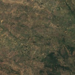
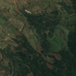
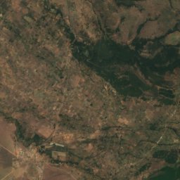
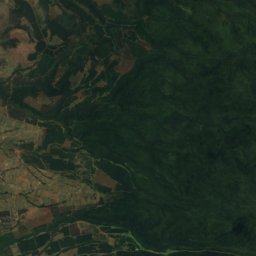
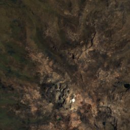
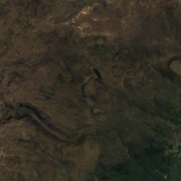
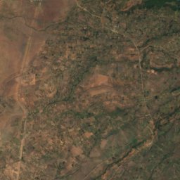
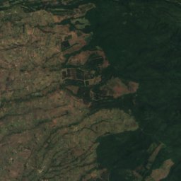
Mount Kenya in 3D
vNeighbours
Mountains of KenyaPeaks nearby
| Mountain | Elevation | Prominence | Distance | July summit high |
|---|---|---|---|---|
| Batian | 5,199 m | 3,825 m | 13 km SE | 3° |