
Photo: kiwa dokokano · CC BY-SA 3.0 · Wikimedia Commons
Sofuga DakeReport this photo · linked, not stored
Sofuga DakeReport this photo · linked, not stored

Photo: Alpsdake · CC BY-SA 3.0 · Wikimedia Commons
Mount MitsugatsujiReport this photo · linked, not stored
Mount MitsugatsujiMount MitsugatsujiReport this photo · linked, not stored

Photo: Alpsdake · CC BY-SA 3.0 · Wikimedia Commons
Mount NingyōReport this photo · linked, not stored
Mount NingyōMount NingyōReport this photo · linked, not stored
 Mount Kongōdō

Photo: Yama0904 · CC BY-SA 4.0 · Wikimedia Commons
Mount Shiraki, ToyamaReport this photo · linked, not stored
Mount Shiraki, ToyamaMount Shiraki, ToyamaReport this photo · linked, not stored
Hida Highlands · Toyama · JapanSummit weather, forecast and climate
Sofuga Dake
837 mSnow likely Jan–Feb · Dec
Elevation837 mabove sea level
Prominence–independent height
Isolation–to a higher summit
Summit, Jul25°average high
36.50° N, 137.11° EElevation 837 mUTC+9 · Japan Standard Time
From the valley to the top
- Summit837 m
- Mid-mountain520 m
- Valley · Yatsuomachi-higashikumisaka197 m
Freezing level in October: above the summit
iThe mountain
Sofuga Dake in brief
Sofuga Dake rises to 837 m in the Hida Highlands, Toyama, Japan.
At the summit, August is the mildest month with average highs of 27°, while nights fall below freezing in 4 months of the year.
The nearest town is Yatsuomachi-higashikumisaka, 7.7 km to the N at 197 m.
iiForecast
Weather at three heights
Temperatures are adjusted to each height; summits are usually colder and windier than the valley forecast suggests.
Loading the latest forecast…
Loading the latest forecast…
Loading the latest forecast…
iiiSummit climate
The top of Sofuga Dake by month
Summit temperatures and precipitation
Climate normals for the summit area (~1 km grid), station-adjusted| Month | Jan | Feb | Mar | Apr | May | Jun | Jul | Aug | Sep | Oct | Nov | Dec |
|---|---|---|---|---|---|---|---|---|---|---|---|---|
| Average high | 1° | 2° | 6° | 13° | 19° | 22° | 25° | 27° | 22° | 16° | 10° | 4° |
| Average low | -7° | -6° | -3° | 2° | 8° | 13° | 18° | 19° | 15° | 8° | 1° | -5° |
| Precipitation | 324 mm | 221 mm | 209 mm | 176 mm | 204 mm | 268 mm | 360 mm | 249 mm | 318 mm | 230 mm | 289 mm | 307 mm |
| Cloud cover | 51% | 51% | 50% | 44% | 49% | 57% | 50% | 39% | 49% | 43% | 42% | 45% |
| Daylight | 9h 56 | 10h 51 | 11h 54 | 13h 06 | 14h 05 | 14h 38 | 14h 26 | 13h 35 | 12h 27 | 11h 19 | 10h 15 | 9h 41 |
| Month score | 16 | 16 | 17 | 35 | 59 | 56 | 58 | 57 | 59 | 53 | 21 | 19 |
Snow and freezing level
Average height of the 0 °C level from the summit normals (6.5 °C per km); snow months have a summit mean at or below +1 °C| Month | Jan | Feb | Mar | Apr | May | Jun | Jul | Aug | Sep | Oct | Nov | Dec |
|---|---|---|---|---|---|---|---|---|---|---|---|---|
| Freezing level | 350 m | 500 m | 1,050 m | 2,050 m | 2,900 m | 3,550 m | 4,150 m | 4,300 m | 3,650 m | 2,700 m | 1,750 m | 800 m |
| Summit | ❄ snow | ❄ snow | above 0 °C | above 0 °C | above 0 °C | above 0 °C | above 0 °C | above 0 °C | above 0 °C | above 0 °C | above 0 °C | ❄ snow |
ivTerrain
Sofuga Dake in 3D
vNeighbours
Mountains of JapanPeaks nearby
| Mountain | Elevation | Prominence | Distance | July summit high |
|---|---|---|---|---|
| Mount Mitsugatsuji | 1,764 m | – | 23 km SW | 20° |
| Mount Ningyō | 1,726 m | – | 23 km SW | 20° |
| Mount Higashikasa | 1,687 m | – | 25 km E | 19° |
| Mount Kongōdō | 1,650 m | – | 15 km SW | 20° |
| Mount Shiraki, Toyama | 1,596 m | – | 8.9 km S | 20° |
| Mount Mizunashi | 1,506 m | – | 24 km S | 21° |
| Mount Koshiraki | 1,437 m | – | 12 km S | 21° |
| Mount Rokutan | 1,398 m | – | 18 km E | 21° |
viBase towns
Where to stay nearby
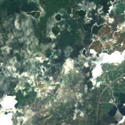
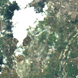
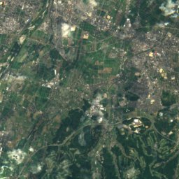
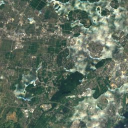
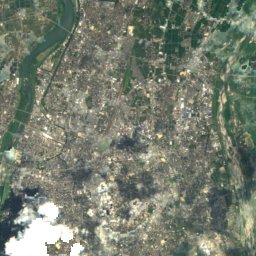
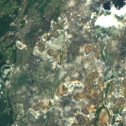
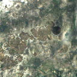
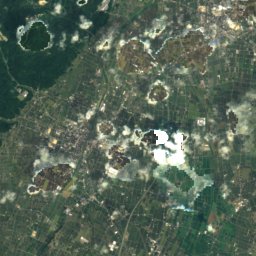
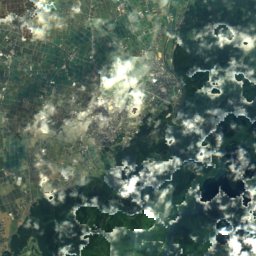
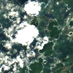
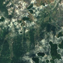
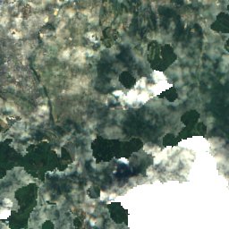
Satellite: Sentinel-2 cloudless 2016 by EOX IT Services GmbH · CC BY 4.0 · Contains modified Copernicus Sentinel data 2016
Yatsuomachi-higashikumisaka
Toyama · 7.7 km N
19°Oct high
17wet days
62score

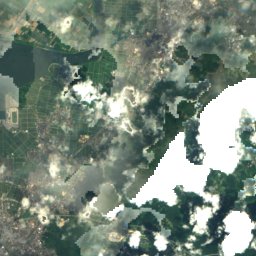
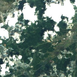
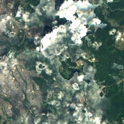
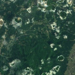
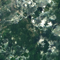
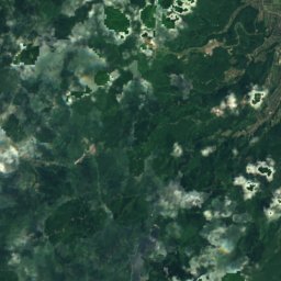
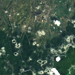
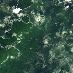
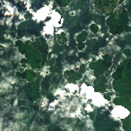
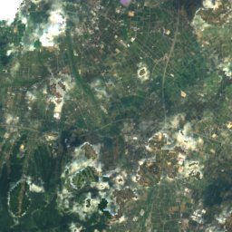
Satellite: Sentinel-2 cloudless 2016 by EOX IT Services GmbH · CC BY 4.0 · Contains modified Copernicus Sentinel data 2016
Nanto
Toyama · 20 km W
19°Oct high
17wet days
62score

Around here
Yatsuomachi-higashikumisaka and around
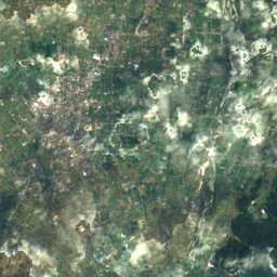
Satellite: Sentinel-2 cloudless 2016 by EOX IT Services GmbH · CC BY 4.0 · Contains modified Copernicus Sentinel data 2016
Yatsuomachi-higashikumisaka
Toyama · Japan
May · Sep–Octbest months
28°July high
197 maltitude
Nature


Mountains


Heritage

Photo: photo: Qurren (talk), with IXY 10S compact digital camera. · CC BY-SA 3.0 · Wikimedia CommonsReport this photo · linked, not stored
Komaki Dam
JSCE Civil Engineering Heritage Site · 1925
Museums
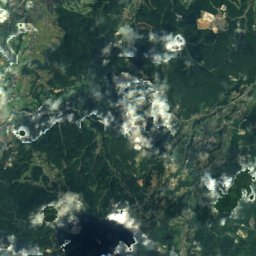
Satellite: Sentinel-2 cloudless 2016 by EOX IT Services GmbH · CC BY 4.0 · Contains modified Copernicus Sentinel data 2016
八尾おわら資料館
2000


Shogawa Memorial Museum of Sotojiro Matsumura
Art museum · 1989