
Photo: Jacopo Werther · CC BY-SA 4.0 · Wikimedia Commons
Mount EtnaReport this photo · linked, not stored
Mount EtnaReport this photo · linked, not stored

Photo: Dror Feitelson · CC BY-SA 4.0 · Wikimedia Commons
Monte SilvestriReport this photo · linked, not stored
Monte SilvestriMonte SilvestriReport this photo · linked, not stored

Photo: Boris Behncke from Tremestieri Etneo, Italy · CC BY 2.0 · Wikimedia Commons
Monti RossiReport this photo · linked, not stored
Monti RossiMonti RossiReport this photo · linked, not stored
Sicily · ItalySummit weather, forecast and climate
Mount Etna
Stratovolcano · last major eruption 20183,357 mUltra-prominent peakSnow likely Jan–May · Oct–Dec
Elevation3,357 mabove sea level
Prominence3,360 mindependent height
Isolation–to a higher summit
Summit, Jul12°average high
37.75° N, 14.99° EElevation 3,357 mUTC+2 · Central European Summer Time
From the valley to the top
- Summit3,357 m
- Mid-mountain2,040 m
- Valley · Milo720 m
Freezing level in October: above the summit
iThe mountain
Mount Etna in brief
Mount Etna rises to 3,357 m, Sicily, Italy. Its topographic prominence — the height it stands above the lowest contour enclosing a higher summit — is 3,360 m, which makes it an ultra-prominent peak.
At the summit, July is the mildest month with average highs of 12°, while nights fall below freezing in 10 months of the year. Daytime highs climb above zero from May to October.
The nearest town in the atlas is Milo, 11 km to the E at 720 m.
iiForecast
Weather at three heights
Temperatures are adjusted to each height; summits are usually colder and windier than the valley forecast suggests.
Loading the latest forecast…
Loading the latest forecast…
Loading the latest forecast…
iiiSummit climate
The top of Mount Etna by month
Summit temperatures and precipitation
Climate normals for the summit area (~1 km grid), station-adjusted| Month | Jan | Feb | Mar | Apr | May | Jun | Jul | Aug | Sep | Oct | Nov | Dec |
|---|---|---|---|---|---|---|---|---|---|---|---|---|
| Average high | -6° | -6° | -3° | 0° | 5° | 9° | 12° | 12° | 8° | 4° | -1° | -5° |
| Average low | -13° | -14° | -12° | -9° | -5° | -1° | 1° | 1° | -1° | -3° | -8° | -12° |
| Precipitation | 173 mm | 107 mm | 127 mm | 91 mm | 74 mm | 42 mm | 34 mm | 56 mm | 127 mm | 166 mm | 187 mm | 194 mm |
| Cloud cover | 33% | 31% | 31% | 32% | 27% | 15% | 5% | 7% | 20% | 30% | 35% | 34% |
| Daylight | 9h 50 | 10h 48 | 11h 55 | 13h 09 | 14h 12 | 14h 46 | 14h 32 | 13h 39 | 12h 28 | 11h 16 | 10h 10 | 9h 34 |
| Month score | 24 | 28 | 25 | 32 | 38 | 46 | 58 | 51 | 25 | 25 | 23 | 23 |
Snow and freezing level
Average height of the 0 °C level from the summit normals (6.5 °C per km); snow months have a summit mean at or below +1 °C| Month | Jan | Feb | Mar | Apr | May | Jun | Jul | Aug | Sep | Oct | Nov | Dec |
|---|---|---|---|---|---|---|---|---|---|---|---|---|
| Freezing level | 1,900 m | 1,800 m | 2,200 m | 2,650 m | 3,350 m | 3,950 m | 4,350 m | 4,350 m | 3,850 m | 3,400 m | 2,600 m | 2,050 m |
| Summit | ❄ snow | ❄ snow | ❄ snow | ❄ snow | ❄ snow | above 0 °C | above 0 °C | above 0 °C | above 0 °C | ❄ snow | ❄ snow | ❄ snow |
ivTerrain
Mount Etna in 3D
vNeighbours
Mountains of ItalyPeaks nearby
| Mountain | Elevation | Prominence | Distance | July summit high |
|---|---|---|---|---|
| Punta Lucia | 2,932 m | – | 1.7 km NW | 14° |
| Monte Frumento Supino | 2,845 m | – | 1.9 km S | 14° |
| P.zi Deneri | 2,792 m | – | 2.7 km NE | 15° |
| La Montagnola, Sicily | 2,581 m | – | 3.7 km S | 16° |
| Monte Frumento delle Concazze | 2,151 m | – | 4.6 km NE | 19° |
| Monte Silvestri | 1,986 m | – | 6.0 km S | 21° |
| Monte Zoccolaro | 1,739 m | – | 6.9 km SE | 22° |
| Monti Rossi | 949 m | 116 m | 15 km S | 28° |
viBase towns
Where to stay nearby

Photo: Giglio Domenico Mirko · CC BY-SA 4.0 · Wikimedia CommonsReport this photo · linked, not stored
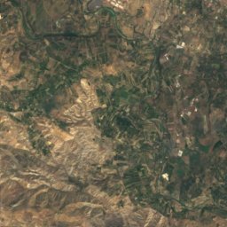
Milo
Sicily · 11 km E
19°Oct high
11wet days
74score

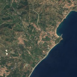
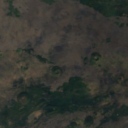
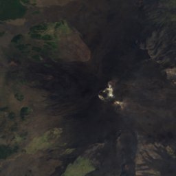
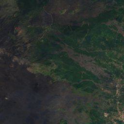
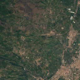
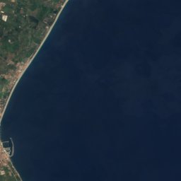
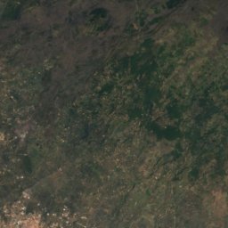
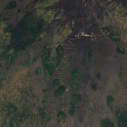
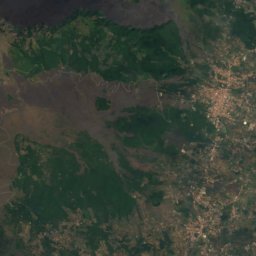
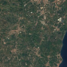
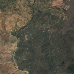
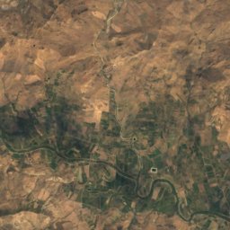
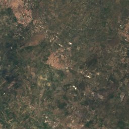
Satellite: Sentinel-2 cloudless 2016 by EOX IT Services GmbH · CC BY 4.0 · Contains modified Copernicus Sentinel data 2016
Sant'Alfio
Sicily · 13 km E
20°Oct high
11wet days
74score
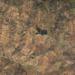
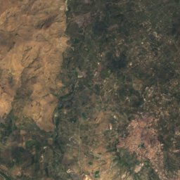
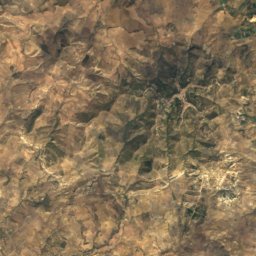
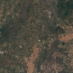
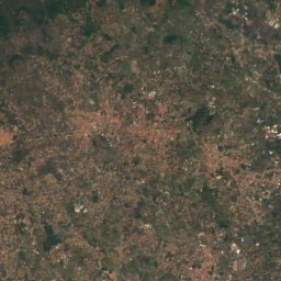
Around here
Milo and around
Photo: Giglio Domenico Mirko · CC BY-SA 4.0 · Wikimedia CommonsReport this photo · linked, not stored
Milo
Sicily · Italy
May–Julbest months
26°July high
720 maltitude
Nature

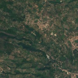
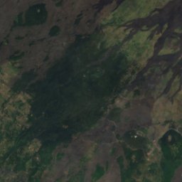
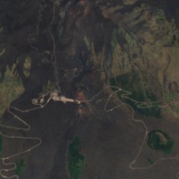
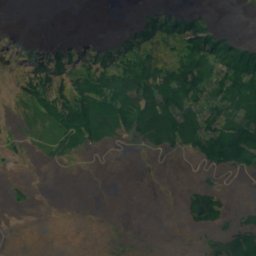
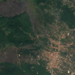
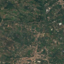
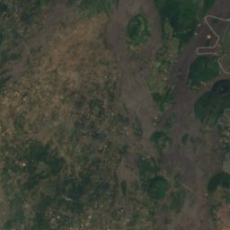
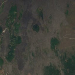
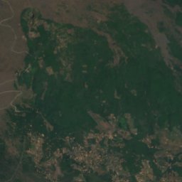
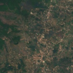
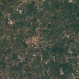
Satellite: Sentinel-2 cloudless 2016 by EOX IT Services GmbH · CC BY 4.0 · Contains modified Copernicus Sentinel data 2016
Grotta del Gatto
Cave

Mountains
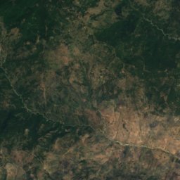
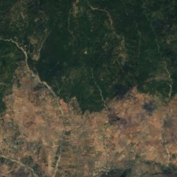
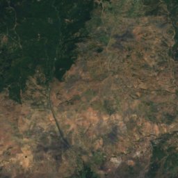
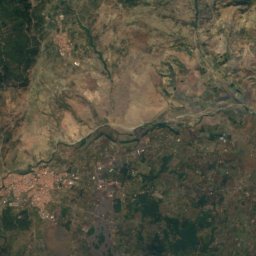
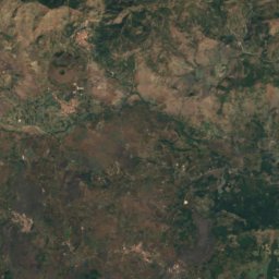
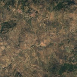
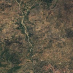
Satellite: Sentinel-2 cloudless 2016 by EOX IT Services GmbH · CC BY 4.0 · Contains modified Copernicus Sentinel data 2016
Punta Lucia
2,932 m
Satellite: Sentinel-2 cloudless 2016 by EOX IT Services GmbH · CC BY 4.0 · Contains modified Copernicus Sentinel data 2016
Monte Frumento Supino
2,845 m
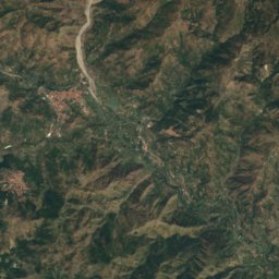
Satellite: Sentinel-2 cloudless 2016 by EOX IT Services GmbH · CC BY 4.0 · Contains modified Copernicus Sentinel data 2016
P.zi Deneri
2,792 m
Heritage















Museums
Satellite: Sentinel-2 cloudless 2016 by EOX IT Services GmbH · CC BY 4.0 · Contains modified Copernicus Sentinel data 2016
Museo della vite e del vino e della civiltà contadina
Ethnographic museum


