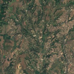
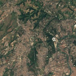
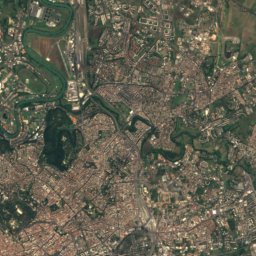
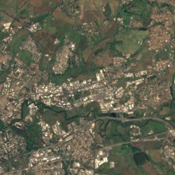
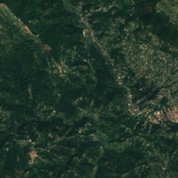
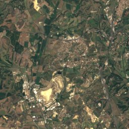
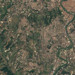
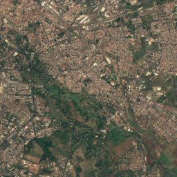
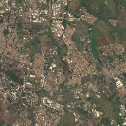
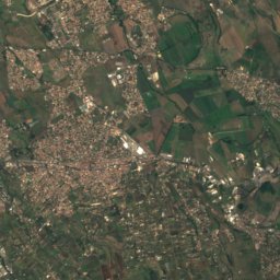
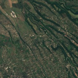
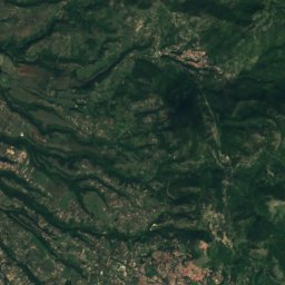
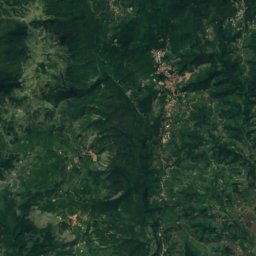
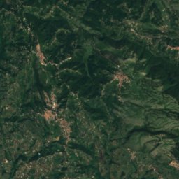
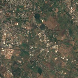
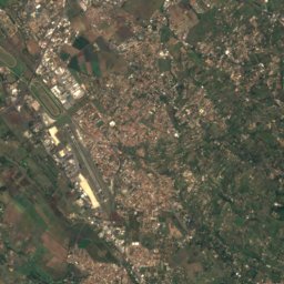
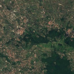
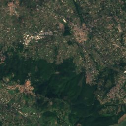
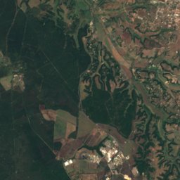
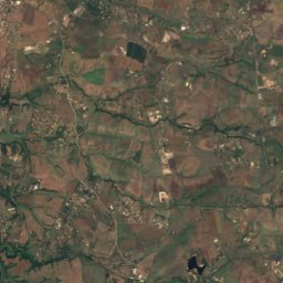
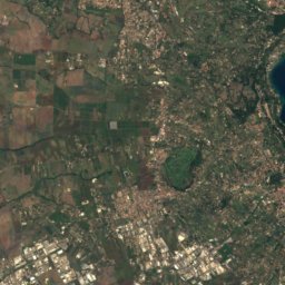
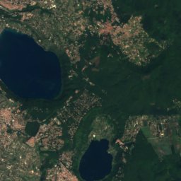
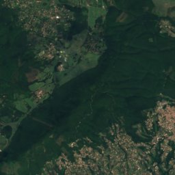
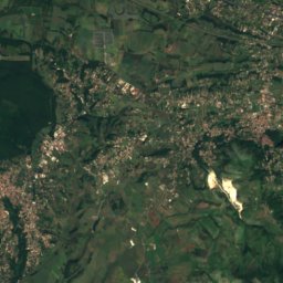
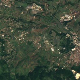
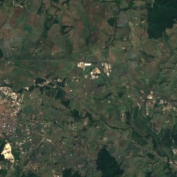
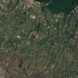
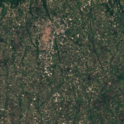
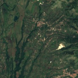
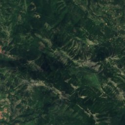
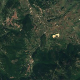

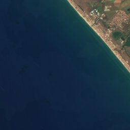
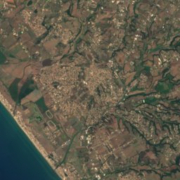
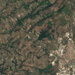
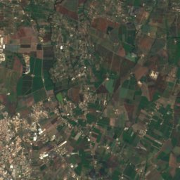
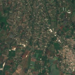
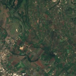
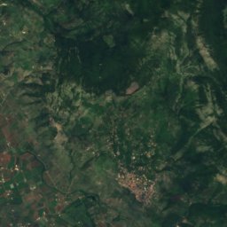
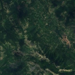
Satellite: Sentinel-2 cloudless 2016 by EOX IT Services GmbH · CC BY 4.0 · Contains modified Copernicus Sentinel data 2016

Photo: LPLT · CC BY-SA 3.0 · Wikimedia Commons
Monte GuadagnoloReport this photo · linked, not stored
Monte GuadagnoloMonte GuadagnoloReport this photo · linked, not stored

Photo: Deblu68 · Public domain · Wikimedia Commons
Vulcano LazialeReport this photo · linked, not stored
Vulcano LazialeVulcano LazialeReport this photo · linked, not stored
 Monte Cavo

Photo: Deblu68 · Public domain · Wikimedia Commons
Monte ArtemisioReport this photo · linked, not stored
Monte ArtemisioMonte ArtemisioReport this photo · linked, not stored
Alban Hills · Lazio · ItalySummit weather, forecast and climate
Mount Algidus
Volcano950 mMajor summit
Elevation950 mabove sea level
Prominence939 mindependent height
Isolation5.5 kmto a higher summit
Summit, Jul25°average high
41.73° N, 12.78° EElevation 950 mUTC+2 · Central European Summer Time
From the valley to the top
- Summit950 m
- Mid-mountain650 m
- Valley · Lariano350 m
Freezing level in October: above the summit
iThe mountain
Mount Algidus in brief
Mount Algidus rises to 950 m in the Alban Hills, Lazio, Italy. Its topographic prominence — the height it stands above the lowest contour enclosing a higher summit — is 939 m, a major independent summit.
At the summit, July is the mildest month with average highs of 25°, while nights fall below freezing in 2 months of the year.
The nearest town in the atlas is Lariano, 4.3 km to the E at 350 m.
iiForecast
Weather at three heights
Temperatures are adjusted to each height; summits are usually colder and windier than the valley forecast suggests.
Loading the latest forecast…
Loading the latest forecast…
Loading the latest forecast…
iiiSummit climate
The top of Mount Algidus by month
Summit temperatures and precipitation
Climate normals for the summit area (~1 km grid), station-adjusted| Month | Jan | Feb | Mar | Apr | May | Jun | Jul | Aug | Sep | Oct | Nov | Dec |
|---|---|---|---|---|---|---|---|---|---|---|---|---|
| Average high | 7° | 8° | 10° | 13° | 18° | 22° | 25° | 25° | 21° | 17° | 11° | 8° |
| Average low | -1° | -1° | 1° | 3° | 8° | 11° | 14° | 15° | 12° | 8° | 4° | 0° |
| Precipitation | 106 mm | 106 mm | 92 mm | 119 mm | 85 mm | 52 mm | 39 mm | 50 mm | 115 mm | 156 mm | 179 mm | 156 mm |
| Cloud cover | 37% | 36% | 36% | 36% | 29% | 18% | 8% | 11% | 24% | 33% | 38% | 39% |
| Daylight | 9h 29 | 10h 36 | 11h 53 | 13h 19 | 14h 32 | 15h 11 | 14h 55 | 13h 53 | 12h 31 | 11h 08 | 9h 52 | 9h 10 |
| Month score | 26 | 26 | 32 | 37 | 75 | 86 | 88 | 85 | 68 | 58 | 29 | 21 |
Snow and freezing level
Average height of the 0 °C level from the summit normals (6.5 °C per km); snow months have a summit mean at or below +1 °C| Month | Jan | Feb | Mar | Apr | May | Jun | Jul | Aug | Sep | Oct | Nov | Dec |
|---|---|---|---|---|---|---|---|---|---|---|---|---|
| Freezing level | 1,450 m | 1,450 m | 1,800 m | 2,200 m | 2,900 m | 3,500 m | 4,000 m | 4,050 m | 3,400 m | 2,850 m | 2,100 m | 1,600 m |
| Summit | above 0 °C | above 0 °C | above 0 °C | above 0 °C | above 0 °C | above 0 °C | above 0 °C | above 0 °C | above 0 °C | above 0 °C | above 0 °C | above 0 °C |
ivTerrain
Mount Algidus in 3D
vNeighbours
Mountains of ItalyPeaks nearby
| Mountain | Elevation | Prominence | Distance | July summit high |
|---|---|---|---|---|
| Monte Guadagnolo | 1,218 m | 630 m | 24 km NE | 24° |
| Vulcano Laziale | 956 m | – | 5.5 km NW | 26° |
| Monte Cavo | 950 m | 84 m | 6.3 km NW | 25° |
| Monte Artemisio | 812 m | – | 2.1 km SE | 28° |
| Maschio dell'Artemisio | 812 m | – | 2.6 km SW | 26° |
| Monte Tuscolo | 670 m | – | 9.7 km NW | 29° |
| Monte Gentile | 580 m | – | 7.5 km W | 29° |
| Monte Arcese | 413 m | – | 24 km N | 31° |
viBase towns
Where to stay nearby


Photo: Luiclemens at English Wikipedia · CC BY-SA 3.0 · Wikimedia CommonsReport this photo · linked, not stored
Rocca Priora
Lazio · 4.5 km N
19°Oct high
10wet days
75score


Around here
Lariano and around
Nature
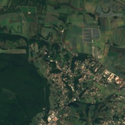
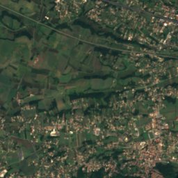
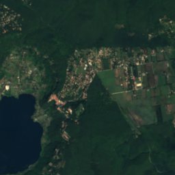
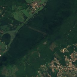
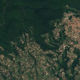
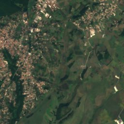
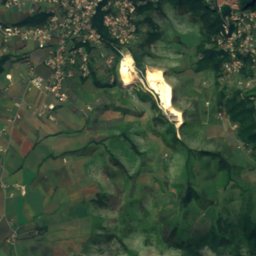
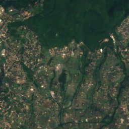
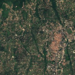
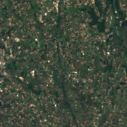
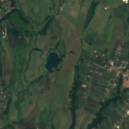
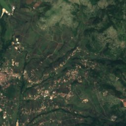
Satellite: Sentinel-2 cloudless 2016 by EOX IT Services GmbH · CC BY 4.0 · Contains modified Copernicus Sentinel data 2016
Lago di Giulianello
Lake · 235 m
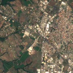
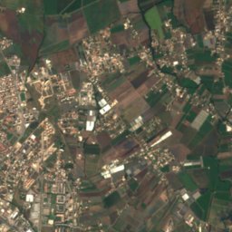
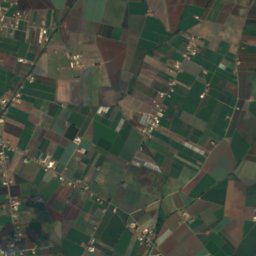
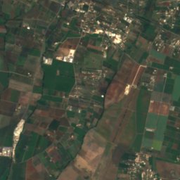
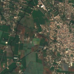
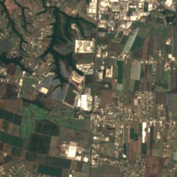
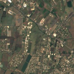
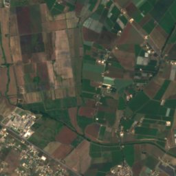
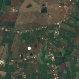
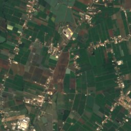
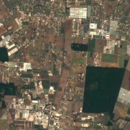
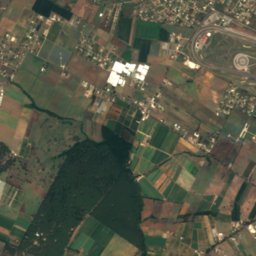
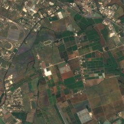
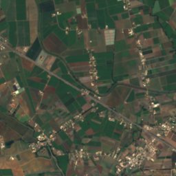
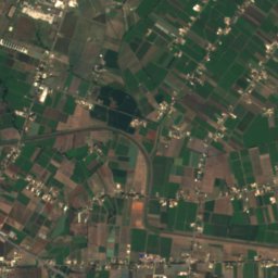
Satellite: Sentinel-2 cloudless 2016 by EOX IT Services GmbH · CC BY 4.0 · Contains modified Copernicus Sentinel data 2016
Laghetto del Monsignore
Lake
Mountains

Photo: Emanuele Erik il Rosso · CC BY-SA 2.0 · Wikimedia CommonsReport this photo · linked, not stored
Monte Semprevisa
1,536 m · Monti Lepini
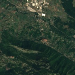
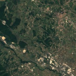
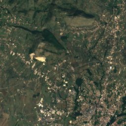
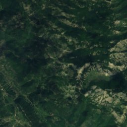
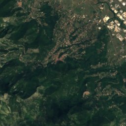
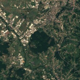
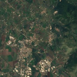
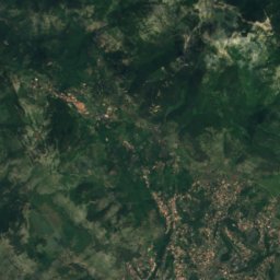
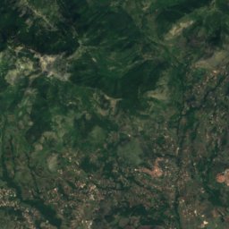
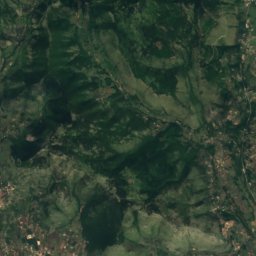
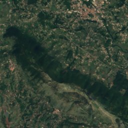
Satellite: Sentinel-2 cloudless 2016 by EOX IT Services GmbH · CC BY 4.0 · Contains modified Copernicus Sentinel data 2016
Monte Malaina
1,480 m · Monti Lepini
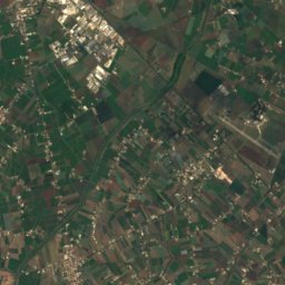
Satellite: Sentinel-2 cloudless 2016 by EOX IT Services GmbH · CC BY 4.0 · Contains modified Copernicus Sentinel data 2016
Monte Capreo
1,471 m · Monti Lepini
Heritage


Santa Maria Assunta, Rocca di Papa
Italian national heritage · 1664
Museums
Satellite: Sentinel-2 cloudless 2016 by EOX IT Services GmbH · CC BY 4.0 · Contains modified Copernicus Sentinel data 2016
Museo della città e del territorio, Lariano
Archaeological museum

Museo archeologico nazionale, Castel San Pietro Romano
Art museum


