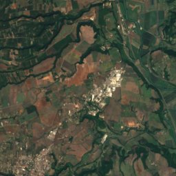
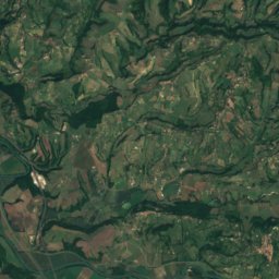
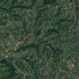
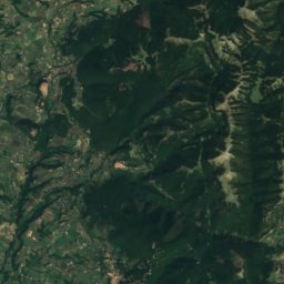
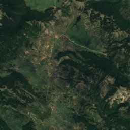
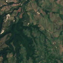
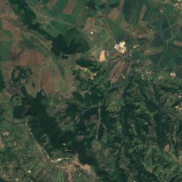
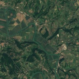
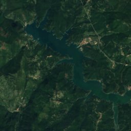
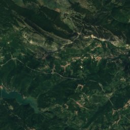
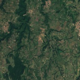
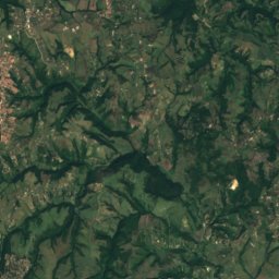
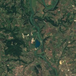
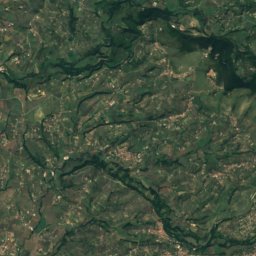
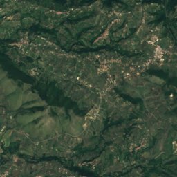
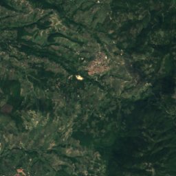
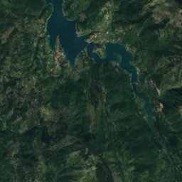
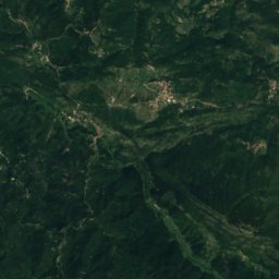
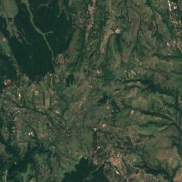
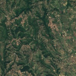
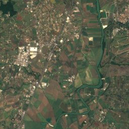
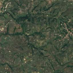
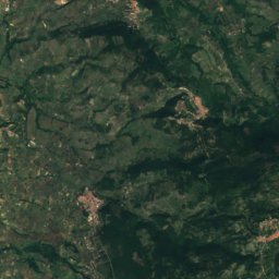
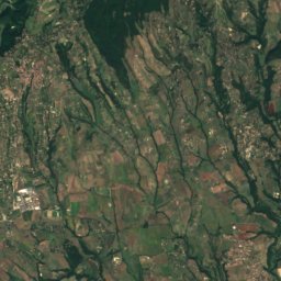
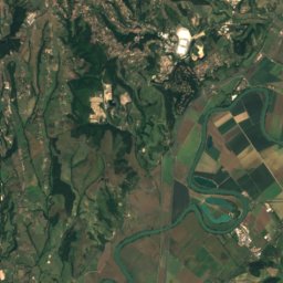
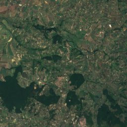
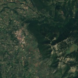
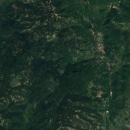
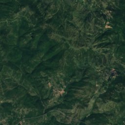
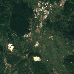
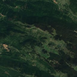
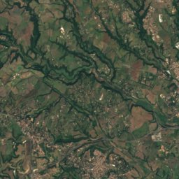
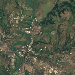
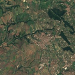
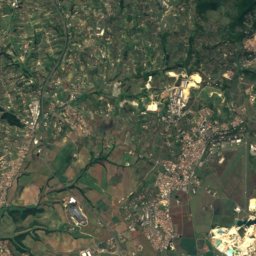
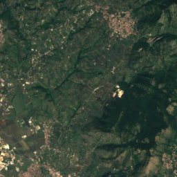
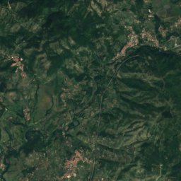
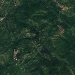
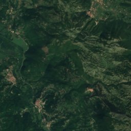
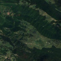
Satellite: Sentinel-2 cloudless 2016 by EOX IT Services GmbH · CC BY 4.0 · Contains modified Copernicus Sentinel data 2016

Photo: Marica Massaro · CC BY-SA 4.0 · Wikimedia Commons
Monte CerviaReport this photo · linked, not stored
Monte CerviaMonte CerviaReport this photo · linked, not stored

Photo: Giammy98 · CC BY-SA 4.0 · Wikimedia Commons
Monte GennaroReport this photo · linked, not stored
Monte GennaroMonte GennaroReport this photo · linked, not stored

Photo: LPLT · CC BY-SA 3.0 · Wikimedia Commons
Monte GuadagnoloReport this photo · linked, not stored
Monte GuadagnoloMonte GuadagnoloReport this photo · linked, not stored
Monti Lucretili · Lazio · ItalySummit weather, forecast and climate
Monte Pellecchia
1,369 mSnow likely Feb
Elevation1,369 mabove sea level
Prominence–independent height
Isolation15 kmto a higher summit
Summit, Jul23°average high
42.10° N, 12.87° EElevation 1,369 mUTC+2 · Central European Summer Time
From the valley to the top
- Summit1,369 m
- Mid-mountain1,080 m
- Valley · Monteflavio800 m
Freezing level in October: above the summit
iThe mountain
Monte Pellecchia in brief
Monte Pellecchia rises to 1,369 m in the Monti Lucretili, Lazio, Italy.
At the summit, July is the mildest month with average highs of 23°, while nights fall below freezing in 4 months of the year.
The nearest town in the atlas is Monteflavio, 3.1 km to the W at 800 m.
iiForecast
Weather at three heights
Temperatures are adjusted to each height; summits are usually colder and windier than the valley forecast suggests.
Loading the latest forecast…
Loading the latest forecast…
Loading the latest forecast…
iiiSummit climate
The top of Monte Pellecchia by month
Summit temperatures and precipitation
Climate normals for the summit area (~1 km grid), station-adjusted| Month | Jan | Feb | Mar | Apr | May | Jun | Jul | Aug | Sep | Oct | Nov | Dec |
|---|---|---|---|---|---|---|---|---|---|---|---|---|
| Average high | 5° | 5° | 8° | 11° | 15° | 19° | 23° | 23° | 18° | 14° | 9° | 6° |
| Average low | -3° | -4° | -2° | 1° | 5° | 9° | 12° | 12° | 9° | 6° | 1° | -2° |
| Precipitation | 102 mm | 116 mm | 109 mm | 141 mm | 124 mm | 82 mm | 57 mm | 63 mm | 122 mm | 160 mm | 194 mm | 161 mm |
| Cloud cover | 39% | 37% | 38% | 39% | 31% | 20% | 10% | 12% | 24% | 34% | 40% | 42% |
| Daylight | 9h 27 | 10h 35 | 11h 53 | 13h 20 | 14h 34 | 15h 14 | 14h 58 | 13h 55 | 12h 31 | 11h 08 | 9h 50 | 9h 08 |
| Month score | 26 | 23 | 25 | 24 | 52 | 77 | 84 | 83 | 67 | 45 | 21 | 20 |
Snow and freezing level
Average height of the 0 °C level from the summit normals (6.5 °C per km); snow months have a summit mean at or below +1 °C| Month | Jan | Feb | Mar | Apr | May | Jun | Jul | Aug | Sep | Oct | Nov | Dec |
|---|---|---|---|---|---|---|---|---|---|---|---|---|
| Freezing level | 1,550 m | 1,500 m | 1,850 m | 2,250 m | 2,950 m | 3,550 m | 4,050 m | 4,100 m | 3,450 m | 2,900 m | 2,150 m | 1,650 m |
| Summit | above 0 °C | ❄ snow | above 0 °C | above 0 °C | above 0 °C | above 0 °C | above 0 °C | above 0 °C | above 0 °C | above 0 °C | above 0 °C | above 0 °C |
ivTerrain
Monte Pellecchia in 3D
vNeighbours
Mountains of ItalyPeaks nearby
| Mountain | Elevation | Prominence | Distance | July summit high |
|---|---|---|---|---|
| Monte Cervia | 1,438 m | – | 15 km NE | 22° |
| Monte Gennaro | 1,271 m | – | 6.8 km SW | 25° |
| Monte Guadagnolo | 1,218 m | 630 m | 22 km S | 24° |
| Monte Cerella | 1,202 m | – | 20 km S | 25° |
| Monte Vincenzo | 1,144 m | – | 20 km S | 24° |
| Monte Piccione | 1,134 m | – | 19 km S | 24° |
| Monte Croce, Lazio | 1,080 m | – | 10 km E | 25° |
| Spina Santa | 1,060 m | – | 18 km S | 25° |
viBase towns
Where to stay nearby
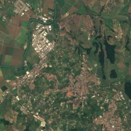
Satellite: Sentinel-2 cloudless 2016 by EOX IT Services GmbH · CC BY 4.0 · Contains modified Copernicus Sentinel data 2016
Monteflavio
Lazio · 3.1 km W
18°Oct high
10wet days
75score


Around here
Monteflavio and around
Satellite: Sentinel-2 cloudless 2016 by EOX IT Services GmbH · CC BY 4.0 · Contains modified Copernicus Sentinel data 2016
Monteflavio
Lazio · Italy
Jun–Jul · Sepbest months
28°July high
800 maltitude
Nature
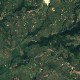
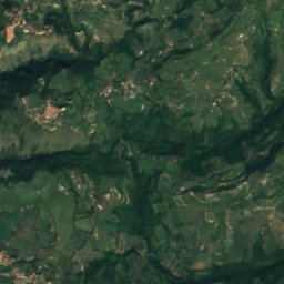
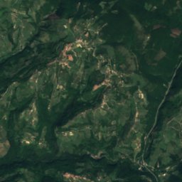
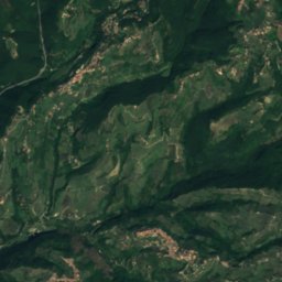
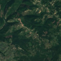
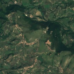
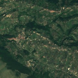
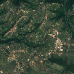
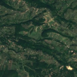
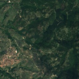
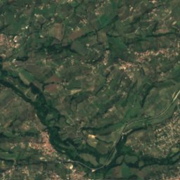
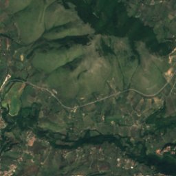
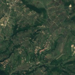
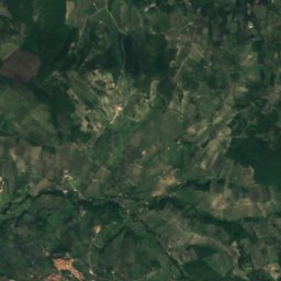
Satellite: Sentinel-2 cloudless 2016 by EOX IT Services GmbH · CC BY 4.0 · Contains modified Copernicus Sentinel data 2016
Grotta dei Massacci
Cave

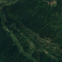
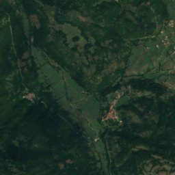
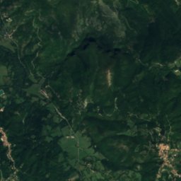
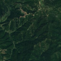
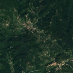
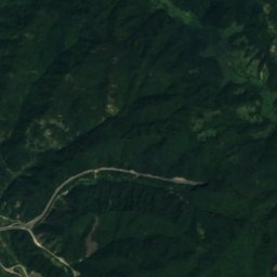
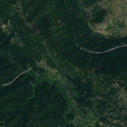
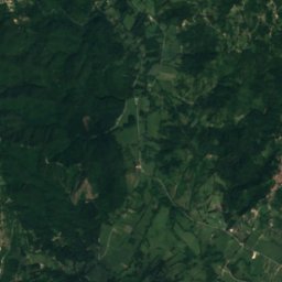
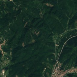
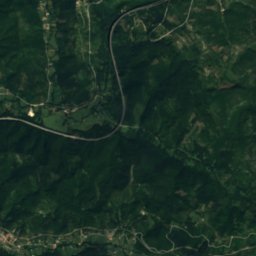
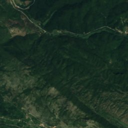
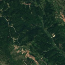
Satellite: Sentinel-2 cloudless 2016 by EOX IT Services GmbH · CC BY 4.0 · Contains modified Copernicus Sentinel data 2016
Riserva naturale speciale delle Grotte di Pietrasecca
Cave
Mountains
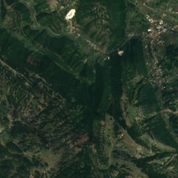
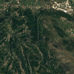
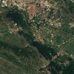
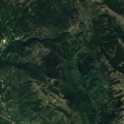
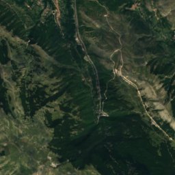
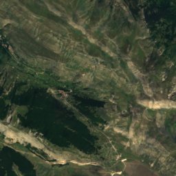
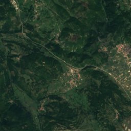
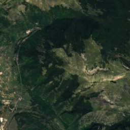
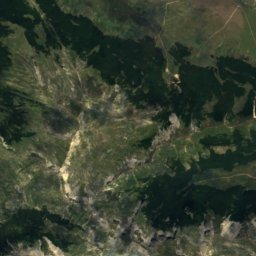
Satellite: Sentinel-2 cloudless 2016 by EOX IT Services GmbH · CC BY 4.0 · Contains modified Copernicus Sentinel data 2016
Monte Cava
2,000 m

Heritage


chiesa parrocchiale di Santa Maria e San Biagio
Italian national heritage
Museums
Satellite: Sentinel-2 cloudless 2016 by EOX IT Services GmbH · CC BY 4.0 · Contains modified Copernicus Sentinel data 2016
Abbey of Saint John in Argentella
Religious museum

Museo delle culture di Villa Garibaldi
Ethnographic museum


