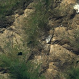
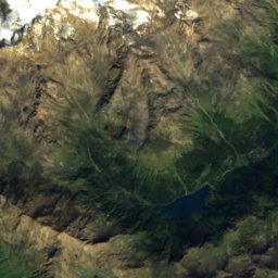
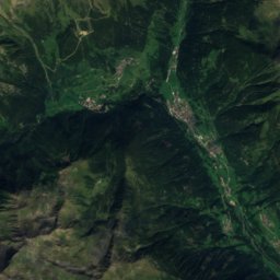
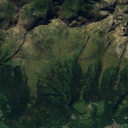
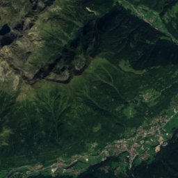
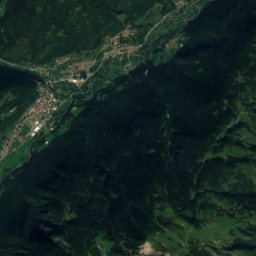
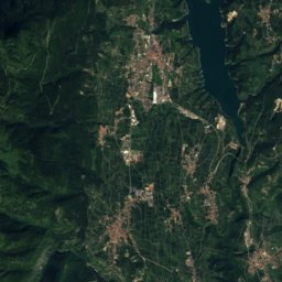
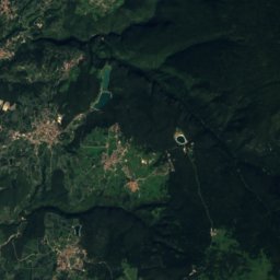
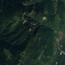
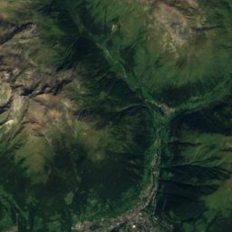
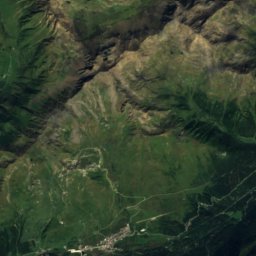
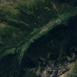
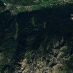
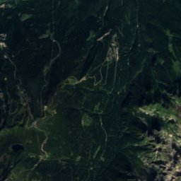
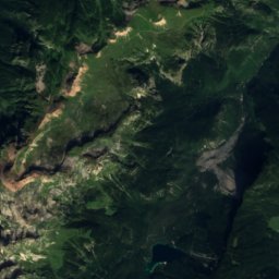
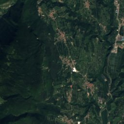
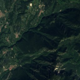
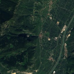
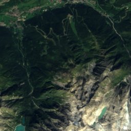
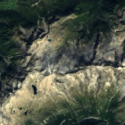
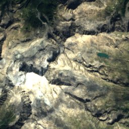
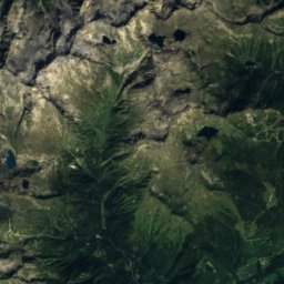
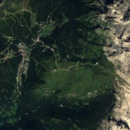
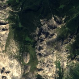
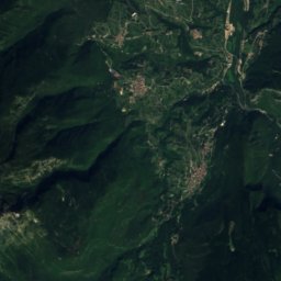
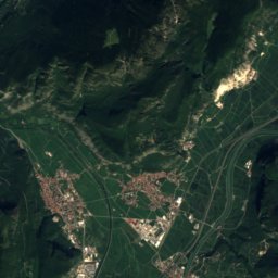
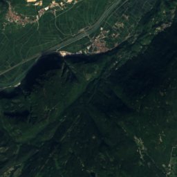
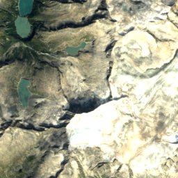
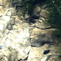
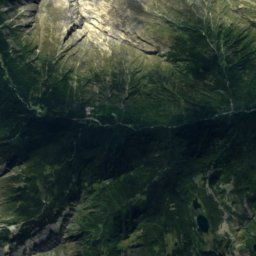
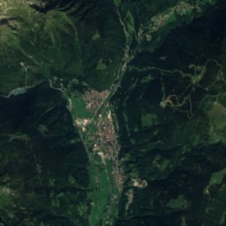
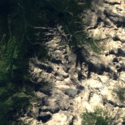
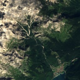
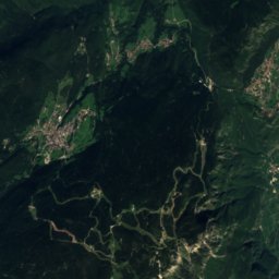
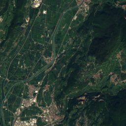
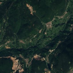
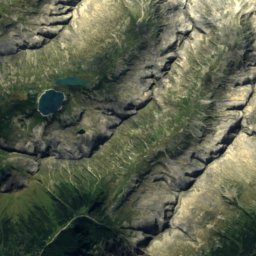
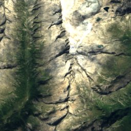
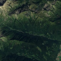
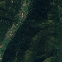
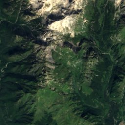
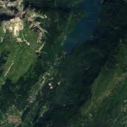
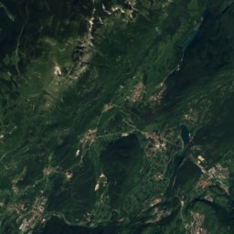
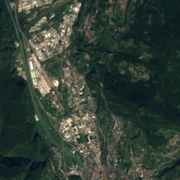
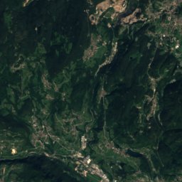
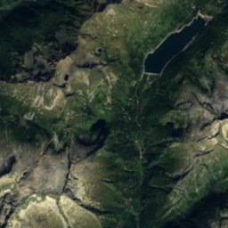
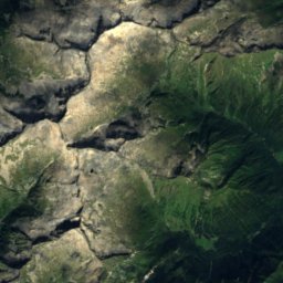
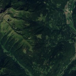
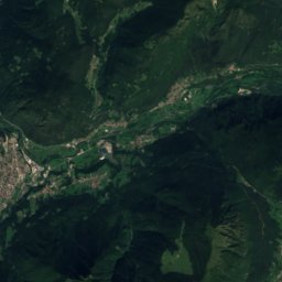
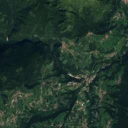
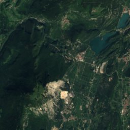
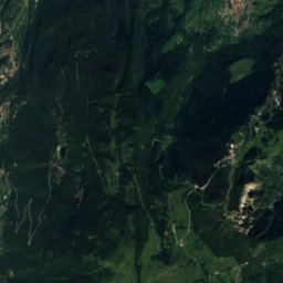
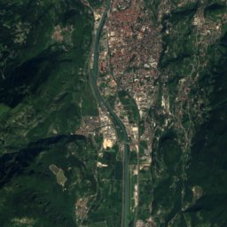
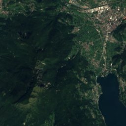
Satellite: Sentinel-2 cloudless 2016 by EOX IT Services GmbH · CC BY 4.0 · Contains modified Copernicus Sentinel data 2016
 Presanella

Photo: NadiaZig · CC BY-SA 4.0 · Wikimedia Commons
Cima Meridionale del DossonReport this photo · linked, not stored
Cima Meridionale del DossonCima Meridionale del DossonReport this photo · linked, not stored

Photo: Francesco Zanardini · CC BY-SA 3.0 · Wikimedia Commons
Corno di CaventoReport this photo · linked, not stored
Corno di CaventoCorno di CaventoReport this photo · linked, not stored

Photo: Ziegler175 · CC BY-SA 3.0 · Wikimedia Commons
Cima Settentrionale del DossonReport this photo · linked, not stored
Cima Settentrionale del DossonCima Settentrionale del DossonReport this photo · linked, not stored
Trentino-Alto Adige · ItalySummit weather, forecast and climate
Freddolin
2,223 mSnow likely Jan–Apr · Nov–Dec
Elevation2,223 mabove sea level
Prominence–independent height
Isolation1.5 kmto a higher summit
Summit, Jul14°average high
46.19° N, 10.87° EElevation 2,223 mUTC+1 · Central European Standard Time
From the valley to the top
- Summit2,223 m
- Mid-mountain1,870 m
- Valley · Madonna di Campiglio1,522 m
Freezing level in October: above the summit
iThe mountain
Freddolin in brief
Freddolin rises to 2,223 m, Trentino-Alto Adige, Italy.
At the summit, July is the mildest month with average highs of 14°, while nights fall below freezing in 7 months of the year. Daytime highs climb above zero from March to November.
The nearest town is Madonna di Campiglio, 4.7 km to the NW at 1,522 m.
Facts
- Elevation
- 2,223 m · 7,293 ft
- Region
- Trentino-Alto Adige
- Country
- Italy
- Coordinates
- 46.1947, 10.8665
- Nearest airport
- Bolzano Airport (BZO) · 46 km
iiForecast
Weather at three heights
Temperatures are adjusted to each height; summits are usually colder and windier than the valley forecast suggests.
Loading the latest forecast…
Loading the latest forecast…
Loading the latest forecast…
iiiSummit climate
The top of Freddolin by month
Summit temperatures and precipitation
Climate normals for the summit area (~1 km grid), station-adjusted| Month | Jan | Feb | Mar | Apr | May | Jun | Jul | Aug | Sep | Oct | Nov | Dec |
|---|---|---|---|---|---|---|---|---|---|---|---|---|
| Average high | -3° | -3° | 0° | 3° | 8° | 13° | 14° | 14° | 10° | 6° | 1° | -2° |
| Average low | -12° | -10° | -7° | -4° | 1° | 4° | 6° | 7° | 3° | 0° | -5° | -9° |
| Precipitation | 53 mm | 49 mm | 64 mm | 120 mm | 176 mm | 205 mm | 220 mm | 199 mm | 160 mm | 148 mm | 136 mm | 71 mm |
| Cloud cover | 37% | 37% | 41% | 47% | 45% | 40% | 33% | 35% | 40% | 45% | 44% | 41% |
| Daylight | 9h 01 | 10h 21 | 11h 51 | 13h 32 | 14h 57 | 15h 45 | 15h 26 | 14h 12 | 12h 36 | 10h 59 | 9h 28 | 8h 39 |
| Month score | 41 | 42 | 36 | 18 | 19 | 34 | 47 | 43 | 21 | 19 | 19 | 34 |
Snow and freezing level
Average height of the 0 °C level from the summit normals (6.5 °C per km); snow months have a summit mean at or below +1 °C| Month | Jan | Feb | Mar | Apr | May | Jun | Jul | Aug | Sep | Oct | Nov | Dec |
|---|---|---|---|---|---|---|---|---|---|---|---|---|
| Freezing level | 1,050 m | 1,250 m | 1,700 m | 2,200 m | 2,900 m | 3,500 m | 3,800 m | 3,800 m | 3,200 m | 2,600 m | 1,900 m | 1,350 m |
| Summit | ❄ snow | ❄ snow | ❄ snow | ❄ snow | above 0 °C | above 0 °C | above 0 °C | above 0 °C | above 0 °C | above 0 °C | ❄ snow | ❄ snow |
ivTerrain
Freddolin in 3D
vNeighbours
Mountains of ItalyPeaks nearby
| Mountain | Elevation | Prominence | Distance | July summit high |
|---|---|---|---|---|
| Presanella | 3,556 m | 1,672 m | 16 km W | 5° |
| Carè Alto | 3,465 m | 482 m | 23 km SW | 5° |
| Cima Meridionale del Dosson | 3,439 m | – | 25 km W | 5° |
| Corno di Cavento | 3,402 m | – | 23 km W | 5° |
| Cima Centrale del Dosson | 3,381 m | – | 24 km W | 5° |
| Cima Settentrionale del Dosson | 3,379 m | – | 24 km W | 5° |
| Crozzon di Lares | 3,354 m | – | 22 km W | 6° |
| Monte Gabbiolo | 3,341 m | – | 17 km W | 5° |
viBase towns
Where to stay nearby


Around here
Madonna di Campiglio and around

Madonna di Campiglio
Trentino-Alto Adige · Italy
Jun–Augbest months
20°July high
1,522 maltitude
Nature


Photo: © Xavier Caré / Wikimedia Commons · CC BY-SA 3.0 · Wikimedia CommonsReport this photo · linked, not stored
Cascate Nardis
Waterfall · 921 m

Photo: © Matteo Ianeselli / Wikimedia Commons · CC BY-SA 3.0 · Wikimedia CommonsReport this photo · linked, not stored
Lago dei Caprioli
Lake · 1,307 m
Mountains
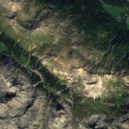
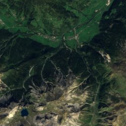
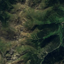
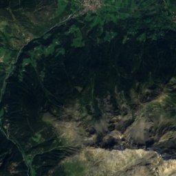
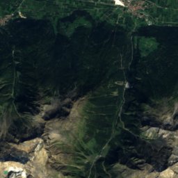
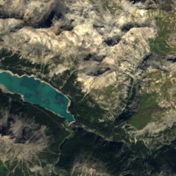
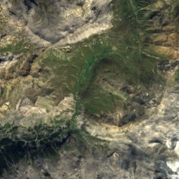
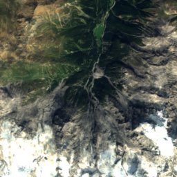
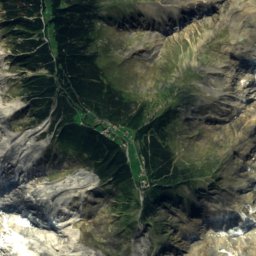
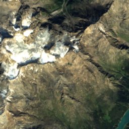
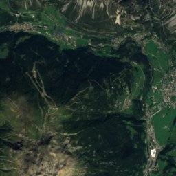
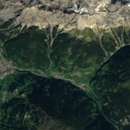
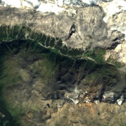
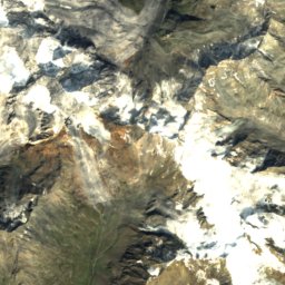
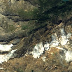
Satellite: Sentinel-2 cloudless 2016 by EOX IT Services GmbH · CC BY 4.0 · Contains modified Copernicus Sentinel data 2016
Ortler
3,905 m · Ortler Alps

Photo: Kenyai (Tunde Pecsvari) · CC BY 2.0 · Wikimedia CommonsReport this photo · linked, not stored
Königspitze
3,851 m · Ortler Alps

Heritage
Satellite: Sentinel-2 cloudless 2016 by EOX IT Services GmbH · CC BY 4.0 · Contains modified Copernicus Sentinel data 2016
Santa Maria Antica church
Italian national heritage


Satellite: Sentinel-2 cloudless 2016 by EOX IT Services GmbH · CC BY 4.0 · Contains modified Copernicus Sentinel data 2016
Lago di Tovel
Ramsar site

Museums

Satellite: Sentinel-2 cloudless 2016 by EOX IT Services GmbH · CC BY 4.0 · Contains modified Copernicus Sentinel data 2016
Museo delle guide

Satellite: Sentinel-2 cloudless 2016 by EOX IT Services GmbH · CC BY 4.0 · Contains modified Copernicus Sentinel data 2016
Ecomuseo Val di Peio "Piccolo mondo alpino"
Ecomuseum




Satellite: Sentinel-2 cloudless 2016 by EOX IT Services GmbH · CC BY 4.0 · Contains modified Copernicus Sentinel data 2016
Museo della Guerra Bianca di Vermiglio
Military museum