

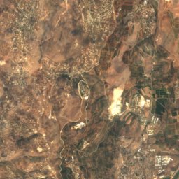
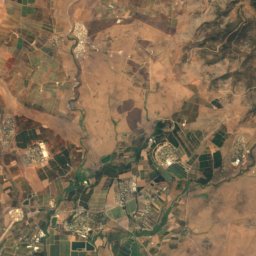
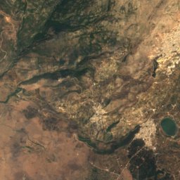


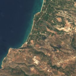
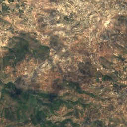
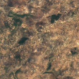
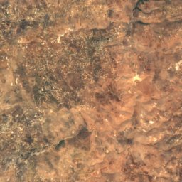
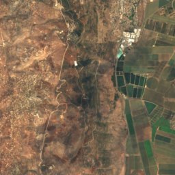
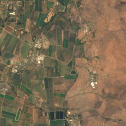
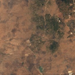

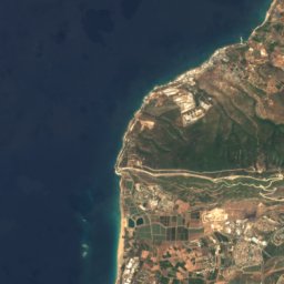
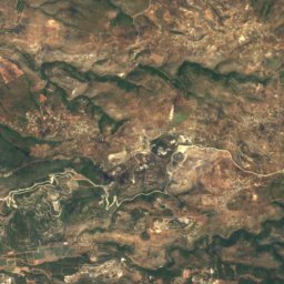
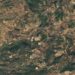
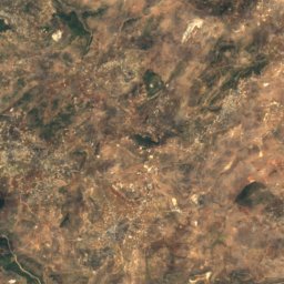
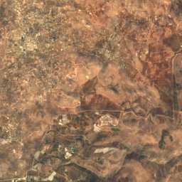
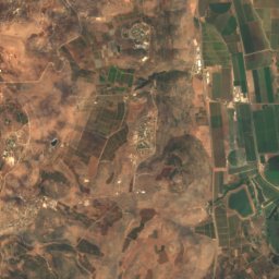

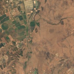
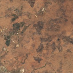
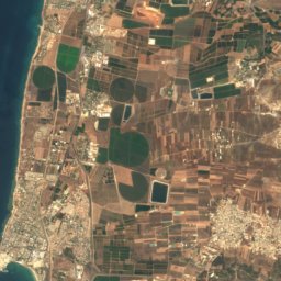
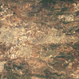
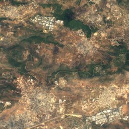
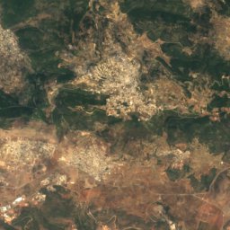
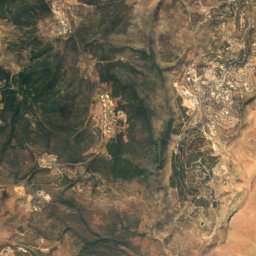
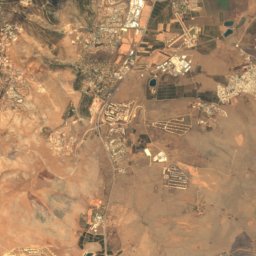
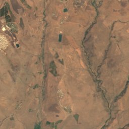
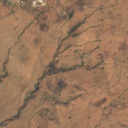
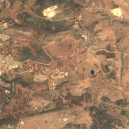
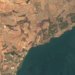
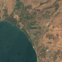
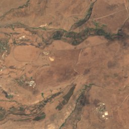
Satellite: Sentinel-2 cloudless 2016 by EOX IT Services GmbH · CC BY 4.0 · Contains modified Copernicus Sentinel data 2016

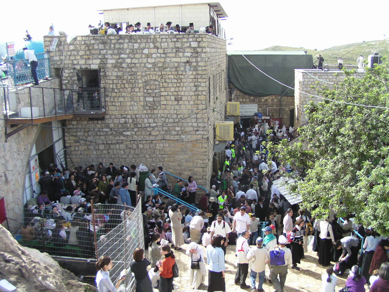
Photo: Lior Golgher • ליאור גולגר · CC BY-SA 3.0 · Wikimedia Commons
MeronReport this photo · linked, not stored
MeronMeronReport this photo · linked, not stored
 Har HaAri
 Har Addir

Photo: Deror avi · Attribution · Wikimedia Commons
Mount CanaanReport this photo · linked, not stored
Mount CanaanMount CanaanReport this photo · linked, not stored
Upper Galilee · Northern District · IsraelSummit weather, forecast and climate
Har Sifsof
815 m
Elevation815 mabove sea level
Prominence–independent height
Isolation1.9 kmto a higher summit
Summit, Jul30°average high
33.01° N, 35.43° EElevation 815 mUTC+2 · Israel Standard Time
From the valley to the top
- Summit815 m
- Mid-mountain410 m
- Valley0 m
Freezing level in October: above the summit
iThe mountain
Har Sifsof in brief
Har Sifsof rises to 815 m in the Upper Galilee, Northern District, Israel.
At the summit, July is the mildest month with average highs of 30°, while nights rarely fall below freezing.
The nearest town is Or HaGanuz, 2.0 km to the E at 728 m.
Facts
- Elevation
- 815 m · 2,674 ft
- Range
- Upper Galilee
- Region
- Northern District
- Country
- Israel
- Coordinates
- 33.0100, 35.4256
- Nearest airport
- Uri Michaeli Haifa International Airport (HFA) · 42 km
iiForecast
Weather at three heights
Temperatures are adjusted to each height; summits are usually colder and windier than the valley forecast suggests.
Loading the latest forecast…
Loading the latest forecast…
Loading the latest forecast…
iiiSummit climate
The top of Har Sifsof by month
Summit temperatures and precipitation
Climate normals for the summit area (~1 km grid), station-adjusted| Month | Jan | Feb | Mar | Apr | May | Jun | Jul | Aug | Sep | Oct | Nov | Dec |
|---|---|---|---|---|---|---|---|---|---|---|---|---|
| Average high | 11° | 12° | 16° | 20° | 25° | 28° | 30° | 30° | 28° | 25° | 18° | 13° |
| Average low | 6° | 7° | 8° | 12° | 15° | 18° | 20° | 20° | 19° | 17° | 12° | 8° |
| Precipitation | 207 mm | 162 mm | 97 mm | 34 mm | 8 mm | 2 mm | 2 mm | 1 mm | 4 mm | 31 mm | 108 mm | 161 mm |
| Cloud cover | 36% | 35% | 30% | 25% | 16% | 7% | 8% | 10% | 10% | 16% | 25% | 34% |
| Daylight | 10h 12 | 11h 01 | 11h 56 | 12h 59 | 13h 51 | 14h 19 | 14h 08 | 13h 24 | 12h 24 | 11h 24 | 10h 29 | 9h 59 |
| Month score | 27 | 34 | 61 | 91 | 98 | 86 | 79 | 80 | 86 | 91 | 70 | 39 |
Snow and freezing level
Average height of the 0 °C level from the summit normals (6.5 °C per km); snow months have a summit mean at or below +1 °C| Month | Jan | Feb | Mar | Apr | May | Jun | Jul | Aug | Sep | Oct | Nov | Dec |
|---|---|---|---|---|---|---|---|---|---|---|---|---|
| Freezing level | 2,100 m | 2,250 m | 2,650 m | 3,250 m | 3,900 m | 4,400 m | 4,700 m | 4,650 m | 4,400 m | 4,000 m | 3,150 m | 2,400 m |
| Summit | above 0 °C | above 0 °C | above 0 °C | above 0 °C | above 0 °C | above 0 °C | above 0 °C | above 0 °C | above 0 °C | above 0 °C | above 0 °C | above 0 °C |
ivTerrain
Har Sifsof in 3D
vNeighbours
Mountains of IsraelPeaks nearby
| Mountain | Elevation | Prominence | Distance | July summit high |
|---|---|---|---|---|
| Meron | 1,208 m | – | 1.9 km SW | 29° |
| Har Hillel | 1,071 m | – | 5.6 km S | 30° |
| Har HaAri | 1,048 m | – | 7.8 km SW | 30° |
| Har Addir | 1,008 m | – | 5.6 km NW | 29° |
| Har Zeved | 1,006 m | – | 3.9 km SW | 30° |
| Har Kefir | 982 m | – | 6.9 km S | 31° |
| Mount Canaan | 936 m | – | 8.3 km SE | 30° |
| Har Avivim | 888 m | – | 11 km NE | 29° |
viBase towns
Where to stay nearby


Photo: אריאל פלמון Ariel Palmon · CC BY 3.0 · Wikimedia CommonsReport this photo · linked, not stored
Jish
Northern District · 2.4 km NE
25°Oct high
4wet days
91score
Satellite: Sentinel-2 cloudless 2016 by EOX IT Services GmbH · CC BY 4.0 · Contains modified Copernicus Sentinel data 2016
Bar Yoẖay
Northern District · 2.5 km SE
26°Oct high
3wet days
91score
Around here
Or HaGanuz and around
Nature

Photo: Yair Aronshtam from Israel · CC BY-SA 2.0 · Wikimedia CommonsReport this photo · linked, not stored
Bar'am National Park
National park


Photo: michal freiman Pikiwiki Israel · CC BY 2.5 · Wikimedia CommonsReport this photo · linked, not stored
Naẖal Neriyya
River
Mountains

Photo: Avi1111 dr. avishai teicher · CC BY 3.0 · Wikimedia CommonsReport this photo · linked, not stored
Hermonit Mountain
1,211 m · Israeli Volcanic Ridge
Photo: Lior Golgher • ליאור גולגר · CC BY-SA 3.0 · Wikimedia CommonsReport this photo · linked, not stored
Meron
1,208 m

Heritage

Satellite: Sentinel-2 cloudless 2016 by EOX IT Services GmbH · CC BY 4.0 · Contains modified Copernicus Sentinel data 2016
Meron
nature reserve in Israel

Museums

Photo: Benno Rothenberg /Meitar Collection / National Library of Israel / The Pritzker · CC BY 4.0 · Wikimedia CommonsReport this photo · linked, not stored
Frenkel Frenel Museum
1973


Photo: Avi1111 dr. avishai teicher · CC BY 3.0 · Wikimedia CommonsReport this photo · linked, not stored

Beit Hameiri
Historic house museum · 1980