
Photo: Paddy Ryan · CC BY-SA 4.0 · Wikimedia Commons
Devil's BitReport this photo · linked, not stored
Devil's BitReport this photo · linked, not stored

Photo: Sarah777 · Public domain · Wikimedia Commons
Keeper HillReport this photo · linked, not stored
Keeper HillKeeper HillReport this photo · linked, not stored
Munster · IrelandSummit weather, forecast and climate
Devil's Bit
478 m
Elevation478 mabove sea level
Prominence–independent height
Isolation25 kmto a higher summit
Summit, Jul18°average high
52.82° N, 7.91° WElevation 478 mUTC+0 · Greenwich Mean Time
From the valley to the top
- Summit478 m
- Mid-mountain300 m
- Valley · Templemore114 m
Freezing level in October: above the summit
iThe mountain
Devil's Bit in brief
Devil's Bit rises to 478 m, Munster, Ireland.
At the summit, July is the mildest month with average highs of 18°, while nights rarely fall below freezing.
The nearest town is Templemore, 6.0 km to the SE at 114 m.
iiForecast
Weather at three heights
Temperatures are adjusted to each height; summits are usually colder and windier than the valley forecast suggests.
Loading the latest forecast…
Loading the latest forecast…
Loading the latest forecast…
iiiSummit climate
The top of Devil's Bit by month
Summit temperatures and precipitation
Climate normals for the summit area (~1 km grid), station-adjusted| Month | Jan | Feb | Mar | Apr | May | Jun | Jul | Aug | Sep | Oct | Nov | Dec |
|---|---|---|---|---|---|---|---|---|---|---|---|---|
| Average high | 6° | 7° | 9° | 11° | 14° | 17° | 18° | 17° | 15° | 12° | 9° | 7° |
| Average low | 1° | 0° | 0° | 2° | 5° | 8° | 10° | 9° | 7° | 5° | 2° | 1° |
| Precipitation | 147 mm | 106 mm | 114 mm | 84 mm | 102 mm | 96 mm | 96 mm | 114 mm | 113 mm | 151 mm | 134 mm | 144 mm |
| Cloud cover | 61% | 59% | 58% | 51% | 50% | 55% | 56% | 56% | 55% | 57% | 59% | 61% |
| Daylight | 8h 08 | 9h 53 | 11h 48 | 13h 56 | 15h 47 | 16h 52 | 16h 25 | 14h 47 | 12h 44 | 10h 41 | 8h 44 | 7h 38 |
| Month score | 12 | 17 | 15 | 32 | 42 | 56 | 62 | 53 | 45 | 25 | 13 | 12 |
Snow and freezing level
Average height of the 0 °C level from the summit normals (6.5 °C per km); snow months have a summit mean at or below +1 °C| Month | Jan | Feb | Mar | Apr | May | Jun | Jul | Aug | Sep | Oct | Nov | Dec |
|---|---|---|---|---|---|---|---|---|---|---|---|---|
| Freezing level | 1,000 m | 1,050 m | 1,150 m | 1,500 m | 1,900 m | 2,350 m | 2,600 m | 2,500 m | 2,250 m | 1,800 m | 1,300 m | 1,050 m |
| Summit | above 0 °C | above 0 °C | above 0 °C | above 0 °C | above 0 °C | above 0 °C | above 0 °C | above 0 °C | above 0 °C | above 0 °C | above 0 °C | above 0 °C |
ivTerrain
Devil's Bit in 3D
vNeighbours
Mountains of IrelandPeaks nearby
| Mountain | Elevation | Prominence | Distance | July summit high |
|---|---|---|---|---|
| Keeper Hill | 694 m | 600 m | 25 km W | 16° |
| Latteragh | 373 m | 90 m | 7.4 km W | 18° |
viBase towns
Where to stay nearby


Satellite: Sentinel-2 cloudless 2016 by EOX IT Services GmbH · CC BY 4.0 · Contains modified Copernicus Sentinel data 2016
Borrisoleigh
Munster · 8.1 km S
14°Oct high
17wet days
35score

Around here
Templemore and around
Nature


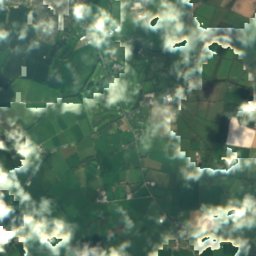
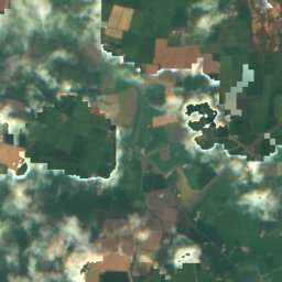
Satellite: Sentinel-2 cloudless 2016 by EOX IT Services GmbH · CC BY 4.0 · Contains modified Copernicus Sentinel data 2016
River Drish
River
Mountains

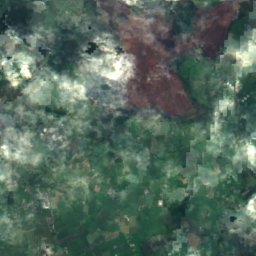
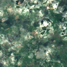
Satellite: Sentinel-2 cloudless 2016 by EOX IT Services GmbH · CC BY 4.0 · Contains modified Copernicus Sentinel data 2016
Arderin
527 m · Slieve Bloom Mountains
Satellite: Sentinel-2 cloudless 2016 by EOX IT Services GmbH · CC BY 4.0 · Contains modified Copernicus Sentinel data 2016
Stillbrook Hill
514 m · Slieve Bloom Mountains
Heritage









Satellite: Sentinel-2 cloudless 2016 by EOX IT Services GmbH · CC BY 4.0 · Contains modified Copernicus Sentinel data 2016
Ballynahow Castle
national monument of Ireland











Satellite: Sentinel-2 cloudless 2016 by EOX IT Services GmbH · CC BY 4.0 · Contains modified Copernicus Sentinel data 2016
St. Kieran's Church
national monument of Ireland










Satellite: Sentinel-2 cloudless 2016 by EOX IT Services GmbH · CC BY 4.0 · Contains modified Copernicus Sentinel data 2016
Timoney Stones
national monument of Ireland