
Photo: Yohann-benmalek · CC BY-SA 4.0 · Wikimedia Commons
Peak la SelleReport this photo · linked, not stored
Peak la SelleReport this photo · linked, not stored
Chaîne de la Selle · Ouest · HaitiSummit weather, forecast and climate
Peak la Selle
2,674 mUltra-prominent peak
Elevation2,674 mabove sea level
Prominence2,650 mindependent height
Isolation127 kmto a higher summit
Summit, Jul18°average high
18.37° N, 71.98° WElevation 2,674 mUTC−4 · Eastern Daylight Time
From the valley to the top
- Summit2,674 m
- Mid-mountain1,740 m
- Valley · Fonds-Verrettes803 m
Freezing level in October: above the summit
iThe mountain
Peak la Selle in brief
Peak la Selle rises to 2,674 m in the Chaîne de la Selle, Ouest, Haiti. Its topographic prominence — the height it stands above the lowest contour enclosing a higher summit — is 2,650 m, which makes it an ultra-prominent peak.
At the summit, August is the mildest month with average highs of 18°, while nights rarely fall below freezing.
The nearest town in the atlas is Fonds-Verrettes, 14 km to the E at 803 m.
iiForecast
Weather at three heights
Temperatures are adjusted to each height; summits are usually colder and windier than the valley forecast suggests.
Loading the latest forecast…
Loading the latest forecast…
Loading the latest forecast…
iiiSummit climate
The top of Peak la Selle by month
Summit temperatures and precipitation
Climate normals for the summit area (~1 km grid), station-adjusted| Month | Jan | Feb | Mar | Apr | May | Jun | Jul | Aug | Sep | Oct | Nov | Dec |
|---|---|---|---|---|---|---|---|---|---|---|---|---|
| Average high | 15° | 15° | 15° | 16° | 17° | 18° | 18° | 18° | 18° | 17° | 16° | 15° |
| Average low | 8° | 8° | 9° | 10° | 11° | 11° | 11° | 12° | 12° | 11° | 10° | 9° |
| Precipitation | 28 mm | 52 mm | 77 mm | 144 mm | 181 mm | 85 mm | 65 mm | 116 mm | 149 mm | 164 mm | 100 mm | 35 mm |
| Cloud cover | 17% | 19% | 25% | 28% | 40% | 43% | 39% | 43% | 46% | 41% | 31% | 22% |
| Daylight | 11h 09 | 11h 33 | 12h 01 | 12h 33 | 13h 00 | 13h 14 | 13h 08 | 12h 45 | 12h 15 | 11h 44 | 11h 16 | 11h 02 |
| Month score | 77 | 70 | 65 | 55 | 55 | 69 | 78 | 63 | 58 | 57 | 62 | 77 |
Snow and freezing level
Average height of the 0 °C level from the summit normals (6.5 °C per km); snow months have a summit mean at or below +1 °C| Month | Jan | Feb | Mar | Apr | May | Jun | Jul | Aug | Sep | Oct | Nov | Dec |
|---|---|---|---|---|---|---|---|---|---|---|---|---|
| Freezing level | 4,450 m | 4,450 m | 4,500 m | 4,600 m | 4,750 m | 4,900 m | 4,900 m | 4,950 m | 4,900 m | 4,850 m | 4,700 m | 4,550 m |
| Summit | above 0 °C | above 0 °C | above 0 °C | above 0 °C | above 0 °C | above 0 °C | above 0 °C | above 0 °C | above 0 °C | above 0 °C | above 0 °C | above 0 °C |
ivTerrain
Peak la Selle in 3D
viBase towns
Where to stay nearby

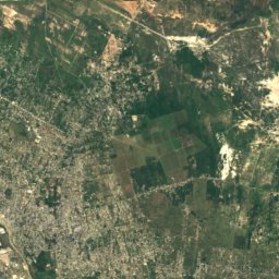
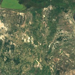
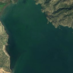
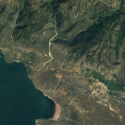
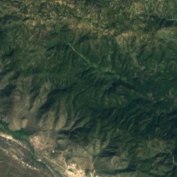
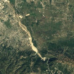
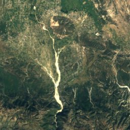
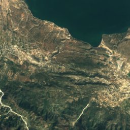
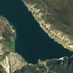
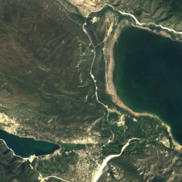
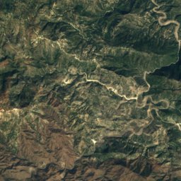
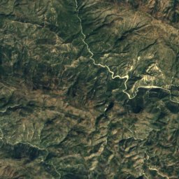
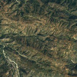
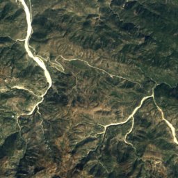
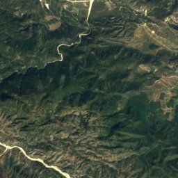
Satellite: Sentinel-2 cloudless 2016 by EOX IT Services GmbH · CC BY 4.0 · Contains modified Copernicus Sentinel data 2016
Fond Parisien
Ouest · 15 km N
34°Oct high
12wet days
30score

Photo: U.S. Navy photo by Mass Communication Specialist 2nd Class Gina Wollman · Public domain · Wikimedia CommonsReport this photo · linked, not stored
Belle-Anse
Sud-Est · 17 km SW
32°Oct high
14wet days
37score
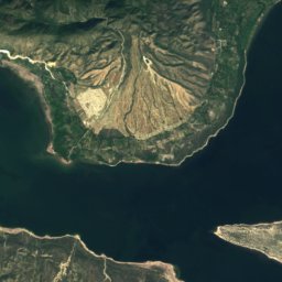
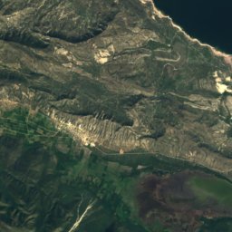
Around here
Fonds-Verrettes and around
Nature
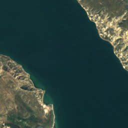
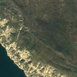
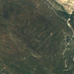
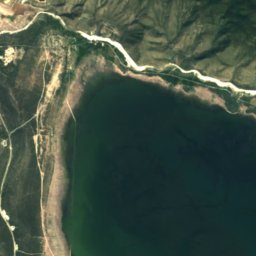
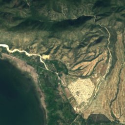
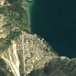
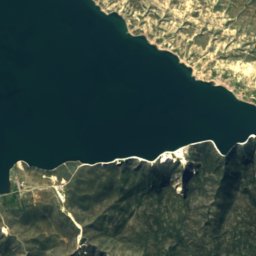
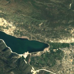
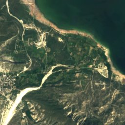
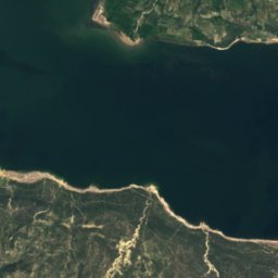
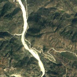
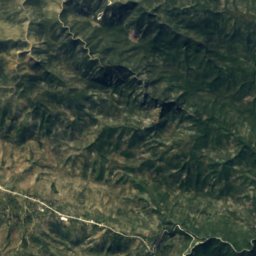
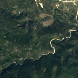
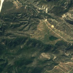
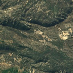
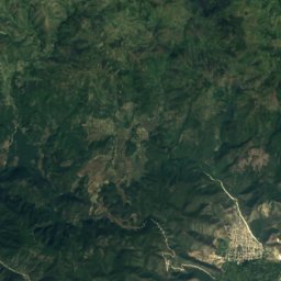
Satellite: Sentinel-2 cloudless 2016 by EOX IT Services GmbH · CC BY 4.0 · Contains modified Copernicus Sentinel data 2016
Rivière Soliette
River · 76 m

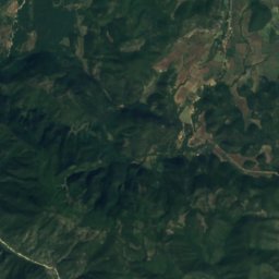
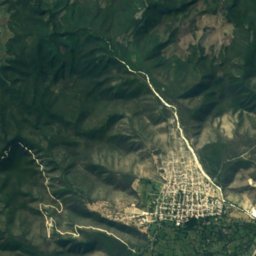
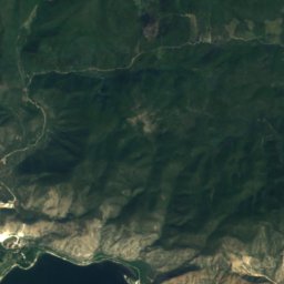
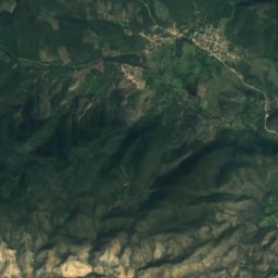
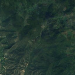
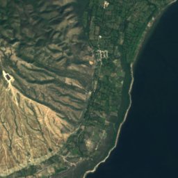
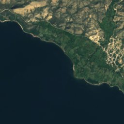
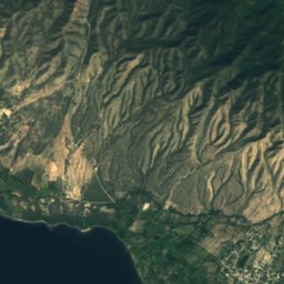
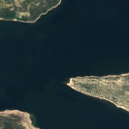
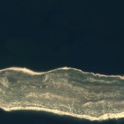
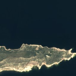


Satellite: Sentinel-2 cloudless 2016 by EOX IT Services GmbH · CC BY 4.0 · Contains modified Copernicus Sentinel data 2016
Nationalpark Lago Enriqillo e Isla Cabritos
National park