

Photo: Unknown author · CC BY-SA 3.0 · Wikimedia Commons
Ellmauer HaltReport this photo · linked, not stored
Ellmauer HaltEllmauer HaltReport this photo · linked, not stored
 Treffauer

Photo: Stefan.straub · CC BY-SA 4.0 · Wikimedia Commons
GamshaltReport this photo · linked, not stored
GamshaltGamshaltReport this photo · linked, not stored

Photo: Steffen 962 · CC0 · Wikimedia Commons
Hintere KarlspitzeReport this photo · linked, not stored
Hintere KarlspitzeHintere KarlspitzeReport this photo · linked, not stored
Schliersee Mountains · Bavaria · GermanySummit weather, forecast and climate
Dümpfel
1,354 mSnow likely Jan–Feb · Dec
Elevation1,354 mabove sea level
Prominence250 mindependent height
Isolation2.5 kmto a higher summit
Summit, Jul21°average high
47.69° N, 12.07° EElevation 1,354 mUTC+2 · Central European Summer Time
From the valley to the top
- Summit1,354 m
- Mid-mountain1,080 m
- Valley · Bayrischzell803 m
Freezing level in October: above the summit
iThe mountain
Dümpfel in brief
Dümpfel rises to 1,354 m in the Schliersee Mountains, Bavaria, Germany. Its topographic prominence — the height it stands above the lowest contour enclosing a higher summit — is 250 m.
At the summit, July is the mildest month with average highs of 21°, while nights fall below freezing in 5 months of the year.
The nearest town is Bayrischzell, 4.5 km to the SW at 803 m.
iiForecast
Weather at three heights
Temperatures are adjusted to each height; summits are usually colder and windier than the valley forecast suggests.
Loading the latest forecast…
Loading the latest forecast…
Loading the latest forecast…
iiiSummit climate
The top of Dümpfel by month
Summit temperatures and precipitation
Climate normals for the summit area (~1 km grid), station-adjusted| Month | Jan | Feb | Mar | Apr | May | Jun | Jul | Aug | Sep | Oct | Nov | Dec |
|---|---|---|---|---|---|---|---|---|---|---|---|---|
| Average high | 2° | 3° | 7° | 12° | 16° | 19° | 21° | 20° | 16° | 12° | 6° | 2° |
| Average low | -6° | -6° | -3° | 0° | 5° | 9° | 10° | 10° | 7° | 3° | -1° | -5° |
| Precipitation | 115 mm | 104 mm | 137 mm | 113 mm | 157 mm | 213 mm | 232 mm | 226 mm | 155 mm | 107 mm | 119 mm | 118 mm |
| Cloud cover | 43% | 46% | 48% | 45% | 43% | 43% | 36% | 37% | 42% | 43% | 46% | 46% |
| Daylight | 8h 50 | 10h 15 | 11h 50 | 13h 37 | 15h 07 | 15h 58 | 15h 38 | 14h 19 | 12h 37 | 10h 55 | 9h 19 | 8h 27 |
| Month score | 21 | 23 | 18 | 31 | 52 | 62 | 65 | 64 | 51 | 33 | 19 | 19 |
Snow and freezing level
Average height of the 0 °C level from the summit normals (6.5 °C per km); snow months have a summit mean at or below +1 °C| Month | Jan | Feb | Mar | Apr | May | Jun | Jul | Aug | Sep | Oct | Nov | Dec |
|---|---|---|---|---|---|---|---|---|---|---|---|---|
| Freezing level | 1,000 m | 1,150 m | 1,700 m | 2,300 m | 3,000 m | 3,500 m | 3,700 m | 3,700 m | 3,100 m | 2,500 m | 1,700 m | 1,100 m |
| Summit | ❄ snow | ❄ snow | above 0 °C | above 0 °C | above 0 °C | above 0 °C | above 0 °C | above 0 °C | above 0 °C | above 0 °C | above 0 °C | ❄ snow |
ivTerrain
Dümpfel in 3D
vNeighbours
Mountains of GermanyPeaks nearby
| Mountain | Elevation | Prominence | Distance | July summit high |
|---|---|---|---|---|
| Ellmauer Halt | 2,344 m | 1,551 m | 23 km SE | 14° |
| Treffauer | 2,304 m | – | 23 km SE | 13° |
| Gamshalt | 2,291 m | 1,480 m | 22 km SE | 14° |
| Hintere Karlspitze | 2,281 m | – | 23 km SE | 15° |
| Karlspitzen | 2,281 m | – | 23 km SE | 14° |
| Sonneck | 2,260 m | – | 22 km SE | 13° |
| Vordere Karlspitze | 2,260 m | – | 23 km SE | 14° |
| Goinger Halt | 2,242 m | – | 24 km SE | 13° |
viBase towns
Where to stay nearby
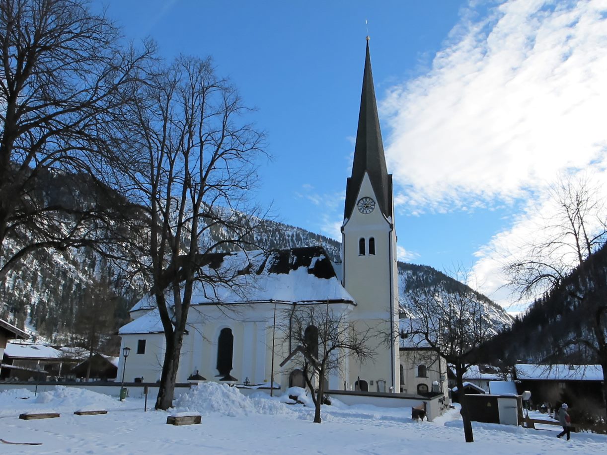
Photo: User: Bbb at wikivoyage shared · CC BY-SA 3.0 · Wikimedia CommonsReport this photo · linked, not stored
Bayrischzell
Bavaria · 4.5 km SW
13°Oct high
13wet days
41score

Photo: User: Bbb at wikivoyage shared · CC BY-SA 3.0 · Wikimedia CommonsReport this photo · linked, not stored
Flintsbach
Bavaria · 5.6 km NE
15°Oct high
13wet days
50score
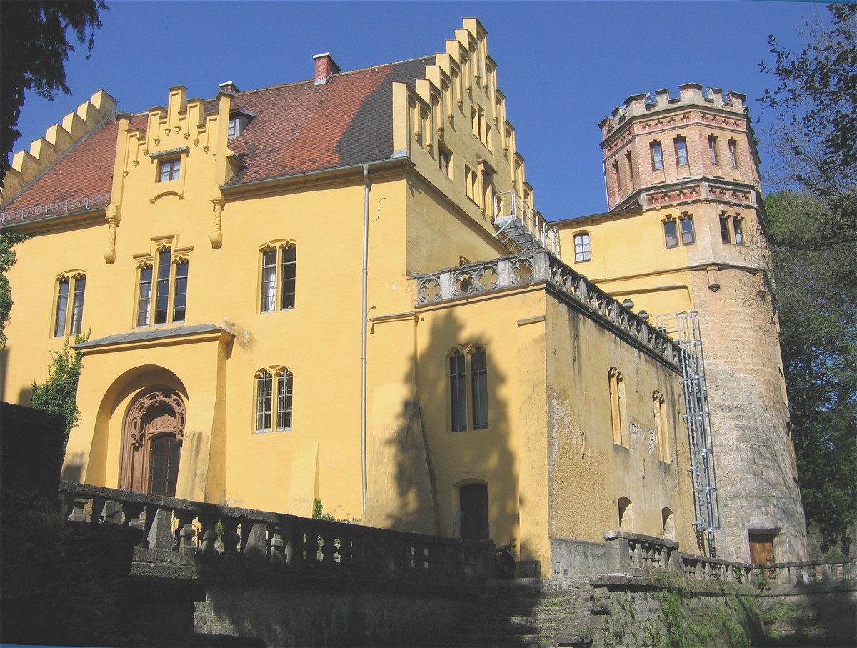

Around here
Bayrischzell and around
Photo: User: Bbb at wikivoyage shared · CC BY-SA 3.0 · Wikimedia CommonsReport this photo · linked, not stored
Bayrischzell
Bavaria · Germany
Jul–Sepbest months
23°July high
803 maltitude
Nature


Photo: Gras-Ober, Wikipedia/Wikimedia Commons (cc-by-sa-3.0) · CC BY-SA 3.0 · Wikimedia CommonsReport this photo · linked, not stored
Leitzach
River · 546 m
Mountains

Photo: Hecki at German Wikipedia (Original text: de:Benutzer:Hecki) · Public domain · Wikimedia CommonsReport this photo · linked, not stored
Großer Galtenberg
2,424 m · Kitzbühel Alps

Heritage

Rosenkranzkapelle, Bayrischzell
architectural heritage monument in Bavaria · 1913

St. Margareth (Bayrischzell)
architectural heritage monument in Bavaria

Friedhofskapelle, Bayrischzell
architectural heritage monument in Bavaria · 1785


