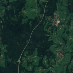
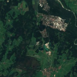
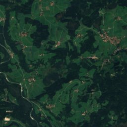
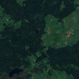
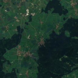
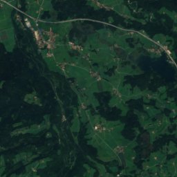
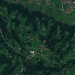
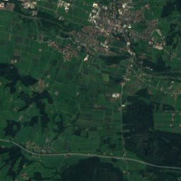
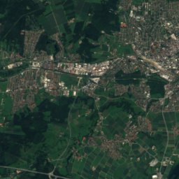
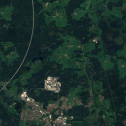
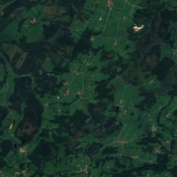
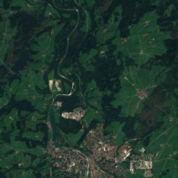
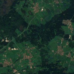
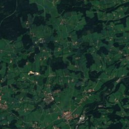
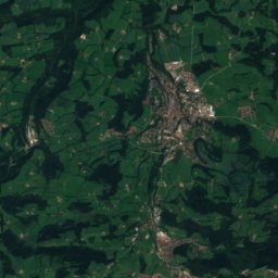
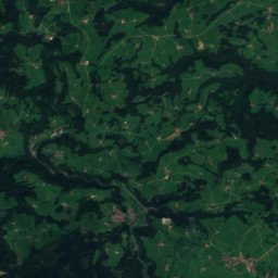
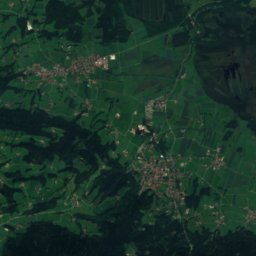
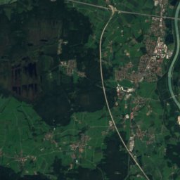
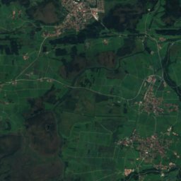
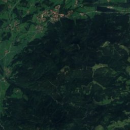
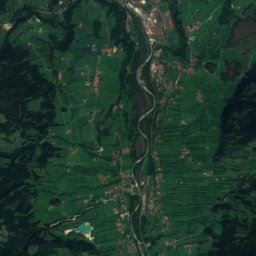
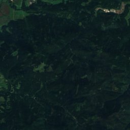
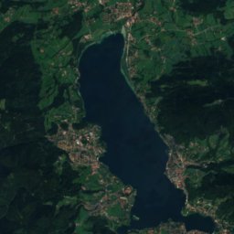
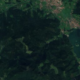
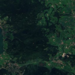
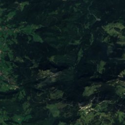
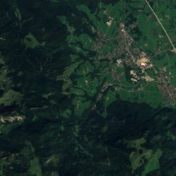
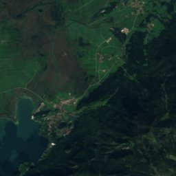
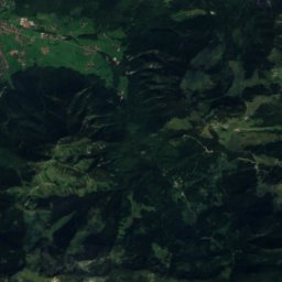
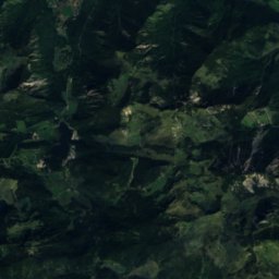
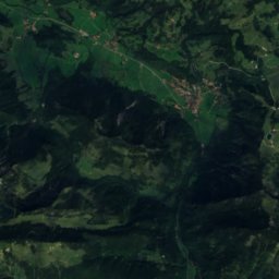
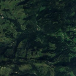
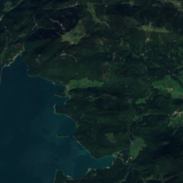
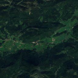
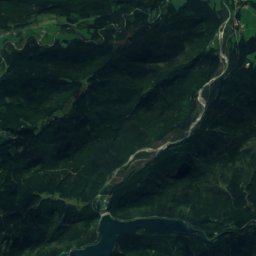
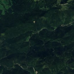
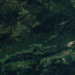
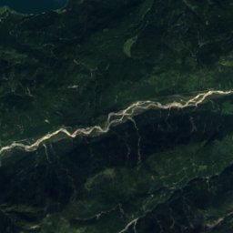
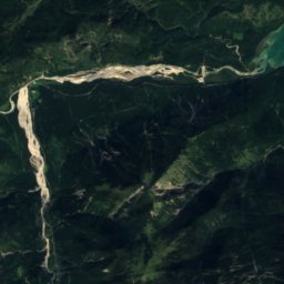
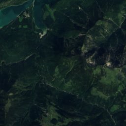
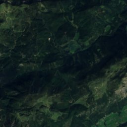
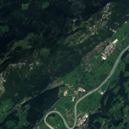
Satellite: Sentinel-2 cloudless 2016 by EOX IT Services GmbH · CC BY 4.0 · Contains modified Copernicus Sentinel data 2016

Photo: Svíčková · CC BY-SA 3.0 · Wikimedia Commons
SeekarlspitzeReport this photo · linked, not stored
SeekarlspitzeSeekarlspitzeReport this photo · linked, not stored

Photo: Svíčková · CC BY-SA 3.0 · Wikimedia Commons
Roßkopf (Rofan)Report this photo · linked, not stored
Roßkopf (Rofan)Roßkopf (Rofan)Report this photo · linked, not stored
 Spieljoch

Photo: friedrich · CC BY-SA 2.5 · Wikimedia Commons
Dalfazer WändeReport this photo · linked, not stored
Dalfazer WändeDalfazer WändeReport this photo · linked, not stored
Tegernsee Mountains · Bavaria · GermanySummit weather, forecast and climate
Daffenstein
1,538 mSnow likely Jan–Mar · Nov–Dec
Elevation1,538 mabove sea level
Prominence–independent height
Isolation1.0 kmto a higher summit
Summit, Jul18°average high
47.64° N, 11.78° EElevation 1,538 mUTC+1 · Central European Standard Time
From the valley to the top
- Summit1,538 m
- Mid-mountain1,160 m
- Valley · Kreuth787 m
Freezing level in October: above the summit
iThe mountain
Daffenstein in brief
Daffenstein rises to 1,538 m in the Tegernsee Mountains, Bavaria, Germany.
At the summit, July is the mildest month with average highs of 18°, while nights fall below freezing in 6 months of the year.
The nearest town is Kreuth, 2.7 km to the W at 787 m.
iiForecast
Weather at three heights
Temperatures are adjusted to each height; summits are usually colder and windier than the valley forecast suggests.
Loading the latest forecast…
Loading the latest forecast…
Loading the latest forecast…
iiiSummit climate
The top of Daffenstein by month
Summit temperatures and precipitation
Climate normals for the summit area (~1 km grid), station-adjusted| Month | Jan | Feb | Mar | Apr | May | Jun | Jul | Aug | Sep | Oct | Nov | Dec |
|---|---|---|---|---|---|---|---|---|---|---|---|---|
| Average high | 0° | 1° | 5° | 9° | 13° | 16° | 18° | 18° | 13° | 10° | 4° | 1° |
| Average low | -7° | -7° | -4° | -1° | 4° | 7° | 8° | 9° | 5° | 2° | -3° | -6° |
| Precipitation | 98 mm | 94 mm | 126 mm | 105 mm | 151 mm | 190 mm | 217 mm | 204 mm | 141 mm | 105 mm | 117 mm | 115 mm |
| Cloud cover | 46% | 50% | 53% | 50% | 48% | 48% | 41% | 42% | 47% | 46% | 50% | 50% |
| Daylight | 8h 51 | 10h 16 | 11h 51 | 13h 37 | 15h 07 | 15h 58 | 15h 37 | 14h 19 | 12h 37 | 10h 55 | 9h 20 | 8h 27 |
| Month score | 24 | 24 | 15 | 21 | 34 | 50 | 60 | 59 | 36 | 22 | 17 | 18 |
Snow and freezing level
Average height of the 0 °C level from the summit normals (6.5 °C per km); snow months have a summit mean at or below +1 °C| Month | Jan | Feb | Mar | Apr | May | Jun | Jul | Aug | Sep | Oct | Nov | Dec |
|---|---|---|---|---|---|---|---|---|---|---|---|---|
| Freezing level | 1,000 m | 1,050 m | 1,550 m | 2,150 m | 2,850 m | 3,300 m | 3,550 m | 3,550 m | 2,950 m | 2,450 m | 1,700 m | 1,100 m |
| Summit | ❄ snow | ❄ snow | ❄ snow | above 0 °C | above 0 °C | above 0 °C | above 0 °C | above 0 °C | above 0 °C | above 0 °C | ❄ snow | ❄ snow |
ivTerrain
Daffenstein in 3D
vNeighbours
Mountains of GermanyPeaks nearby
| Mountain | Elevation | Prominence | Distance | July summit high |
|---|---|---|---|---|
| Hochiss | 2,299 m | 1,359 m | 21 km S | 13° |
| Seekarlspitze | 2,261 m | – | 21 km S | 12° |
| Rofanspitze | 2,259 m | – | 21 km S | 12° |
| Roßkopf (Rofan) | 2,259 m | – | 21 km S | 12° |
| Spieljoch | 2,236 m | – | 21 km S | 12° |
| Dalfazer Wände | 2,233 m | – | 21 km S | 12° |
| Sagzahn | 2,228 m | – | 21 km S | 12° |
| Vorderes Sonnwendjoch | 2,224 m | – | 22 km S | 13° |
viBase towns
Where to stay nearby

Photo: User: Bbb at wikivoyage shared · CC BY-SA 3.0 · Wikimedia CommonsReport this photo · linked, not stored
Kreuth
Bavaria · 2.7 km W
14°Oct high
12wet days
45score


Around here
Kreuth and around
Photo: User: Bbb at wikivoyage shared · CC BY-SA 3.0 · Wikimedia CommonsReport this photo · linked, not stored
Kreuth
Bavaria · Germany
Jul–Sepbest months
23°July high
787 maltitude
Nature


Mountains


Photo: © Heinrich Stürzl / Wikimedia Commons · CC BY-SA 4.0 · Wikimedia CommonsReport this photo · linked, not stored
Östliche Ödkarspitze
2,738 m · Karwendel
Heritage


Photo: Gras-Ober, Wikipedia/Wikimedia Commons (cc-by-sa-3.0) · CC BY-SA 3.0 · Wikimedia CommonsReport this photo · linked, not stored
St. Leonhard (Kreuth)
architectural heritage monument in Bavaria

Museums


Photo: User: Bgabel at wikivoyage shared · CC BY-SA 3.0 · Wikimedia CommonsReport this photo · linked, not stored
Heimatmuseum Lenggries
Local museum


