
Photo: Llardana · CC BY-SA 4.0 · Wikimedia Commons
Pic de CestrèdeReport this photo · linked, not stored
Pic de CestrèdeReport this photo · linked, not stored

Photo: Patrick Rouzet · CC BY-SA 3.0 · Wikimedia Commons
Monte PerdidoReport this photo · linked, not stored
Monte PerdidoMonte PerdidoReport this photo · linked, not stored

Photo: User Sea-empress on de.wikipedia · CC BY-SA 3.0 · Wikimedia Commons
VignemaleReport this photo · linked, not stored
VignemaleVignemaleReport this photo · linked, not stored

Photo: Babylas · CC BY-SA 3.0 · Wikimedia Commons
Clot de la HountReport this photo · linked, not stored
Clot de la HountClot de la HountReport this photo · linked, not stored

Photo: Tigerente · CC BY-SA 4.0 · Wikimedia Commons
Pic de MarboréReport this photo · linked, not stored
Pic de MarboréPic de MarboréReport this photo · linked, not stored
Pyrenees · Occitanie · FranceSummit weather, forecast and climate
Pic de Cestrède
2,947 mSnow likely Jan–May · Oct–Dec
Elevation2,947 mabove sea level
Prominence–independent height
Isolation2.0 kmto a higher summit
Summit, Jul12°average high
42.80° N, 0.07° WElevation 2,947 mUTC+1 · Central European Standard Time
From the valley to the top
- Summit2,947 m
- Mid-mountain1,970 m
- Valley · Gèdre1,000 m
Freezing level in October: above the summit
iThe mountain
Pic de Cestrède in brief
Pic de Cestrède rises to 2,947 m in the Pyrenees, Occitanie, France.
At the summit, July is the mildest month with average highs of 12°, while nights fall below freezing in 8 months of the year. Daytime highs climb above zero from May to October.
The nearest town is Gèdre, 7.6 km to the E at 1,000 m.
iiForecast
Weather at three heights
Temperatures are adjusted to each height; summits are usually colder and windier than the valley forecast suggests.
Loading the latest forecast…
Loading the latest forecast…
Loading the latest forecast…
iiiSummit climate
The top of Pic de Cestrède by month
Summit temperatures and precipitation
Climate normals for the summit area (~1 km grid), station-adjusted| Month | Jan | Feb | Mar | Apr | May | Jun | Jul | Aug | Sep | Oct | Nov | Dec |
|---|---|---|---|---|---|---|---|---|---|---|---|---|
| Average high | -4° | -4° | -2° | -1° | 4° | 9° | 12° | 12° | 8° | 4° | -2° | -3° |
| Average low | -10° | -10° | -8° | -6° | -3° | 2° | 5° | 5° | 2° | -2° | -7° | -9° |
| Precipitation | 156 mm | 108 mm | 121 mm | 174 mm | 167 mm | 121 mm | 110 mm | 113 mm | 136 mm | 173 mm | 190 mm | 191 mm |
| Cloud cover | 45% | 43% | 44% | 48% | 47% | 36% | 26% | 28% | 35% | 43% | 45% | 46% |
| Daylight | 9h 22 | 10h 33 | 11h 53 | 13h 22 | 14h 37 | 15h 19 | 15h 02 | 13h 57 | 12h 32 | 11h 06 | 9h 46 | 9h 03 |
| Month score | 19 | 23 | 19 | 18 | 18 | 23 | 36 | 35 | 23 | 20 | 19 | 18 |
Snow and freezing level
Average height of the 0 °C level from the summit normals (6.5 °C per km); snow months have a summit mean at or below +1 °C| Month | Jan | Feb | Mar | Apr | May | Jun | Jul | Aug | Sep | Oct | Nov | Dec |
|---|---|---|---|---|---|---|---|---|---|---|---|---|
| Freezing level | 1,850 m | 1,800 m | 2,100 m | 2,400 m | 3,000 m | 3,750 m | 4,200 m | 4,200 m | 3,650 m | 3,100 m | 2,250 m | 2,000 m |
| Summit | ❄ snow | ❄ snow | ❄ snow | ❄ snow | ❄ snow | above 0 °C | above 0 °C | above 0 °C | above 0 °C | ❄ snow | ❄ snow | ❄ snow |
ivTerrain
Pic de Cestrède in 3D
vNeighbours
Mountains of FrancePeaks nearby
| Mountain | Elevation | Prominence | Distance | July summit high |
|---|---|---|---|---|
| Monte Perdido | 3,355 m | 973 m | 17 km SE | 11° |
| Cilindro de Marboré | 3,328 m | 251 m | 15 km SE | 11° |
| Vignemale | 3,299 m | 1,029 m | 7.0 km SW | 10° |
| Clot de la Hount | 3,289 m | 40 m | 7.3 km SW | 10° |
| Soum de Ramond | 3,254 m | 88 m | 18 km SE | 11° |
| Pic de Marboré | 3,248 m | 78 m | 14 km SE | 11° |
| Cerbillona | 3,247 m | 50 m | 7.5 km SW | 11° |
| Pic central | 3,235 m | 35 m | 7.2 km SW | 10° |
viBase towns
Where to stay nearby

Photo: The original uploader was Calips at French Wikipedia. · CC BY-SA 1.0 · Wikimedia CommonsReport this photo · linked, not stored
Gèdre
Occitanie · 7.6 km E
17°Oct high
11wet days
66score


Photo: Jean-Christophe BENOIST · CC BY 3.0 · Wikimedia CommonsReport this photo · linked, not stored
Luz-Saint-Sauveur
Occitanie · 9.4 km NE
19°Oct high
11wet days
70score

Around here
Gèdre and around
Photo: The original uploader was Calips at French Wikipedia. · CC BY-SA 1.0 · Wikimedia CommonsReport this photo · linked, not stored
Gèdre
Occitanie · France
Jul–Sepbest months
24°July high
1,000 maltitude
Nature


Photo: Jean-Christophe BENOIST · CC BY 3.0 · Wikimedia CommonsReport this photo · linked, not stored
Gavarnie Falls
Waterfall · 2,200 m

Mountains

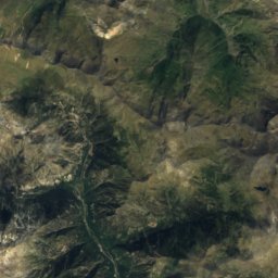
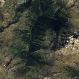
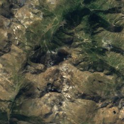
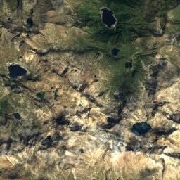
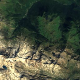
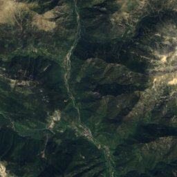
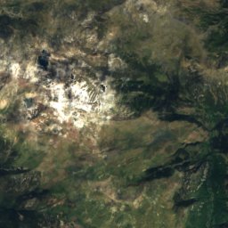
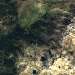
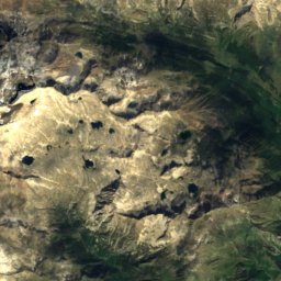
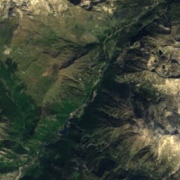
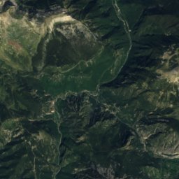
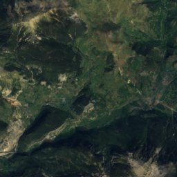
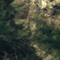
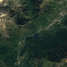
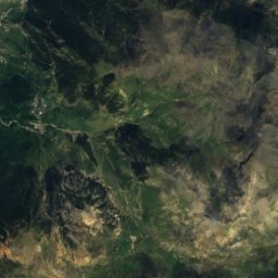
Satellite: Sentinel-2 cloudless 2016 by EOX IT Services GmbH · CC BY 4.0 · Contains modified Copernicus Sentinel data 2016
Espadas Peak
3,332 m · Posets Massif
Heritage


église Notre-Dame-du-Bon-Port, Gavarnie
part of UNESCO World Heritage Site

centrale hydroélectrique de Pragnères
Remarkable Contemporary Architecture · 1947
Museums


Satellite: Sentinel-2 cloudless 2016 by EOX IT Services GmbH · CC BY 4.0 · Contains modified Copernicus Sentinel data 2016