
Photo: Marianne Casamance · CC BY-SA 4.0 · Wikimedia Commons
Le ChâtelReport this photo · linked, not stored
Le ChâtelReport this photo · linked, not stored

Photo: Zarelia Choutime · CC BY-SA 3.0 · Wikimedia Commons
Pic du Clapier du PeyronReport this photo · linked, not stored
Pic du Clapier du PeyronPic du Clapier du PeyronReport this photo · linked, not stored

Photo: Rémih · CC BY-SA 4.0 · Wikimedia Commons
Pointe de ConfolensReport this photo · linked, not stored
Pointe de ConfolensPointe de ConfolensReport this photo · linked, not stored

Photo: Nouill · CC BY-SA 4.0 · Wikimedia Commons
Signal du LauvitelReport this photo · linked, not stored
Signal du LauvitelSignal du LauvitelReport this photo · linked, not stored

Photo: Thomas Charbonneau · CC BY-SA 3.0 · Wikimedia Commons
Le Grand ArmetReport this photo · linked, not stored
Le Grand ArmetLe Grand ArmetReport this photo · linked, not stored
Dévoluy Mountains · Auvergne-Rhône-Alpes · FranceSummit weather, forecast and climate
Le Châtel
1,937 mSnow likely Jan–Feb · Dec
Elevation1,937 mabove sea level
Prominence280 mindependent height
Isolation4.8 kmto a higher summit
Summit, Jul18°average high
44.81° N, 5.81° EElevation 1,937 mUTC+1 · Central European Standard Time
From the valley to the top
- Summit1,937 m
- Mid-mountain1,390 m
- Valley · Saint-Baudille-et-Pipet846 m
Freezing level in October: above the summit
iThe mountain
Le Châtel in brief
Le Châtel rises to 1,937 m in the Dévoluy Mountains, Auvergne-Rhône-Alpes, France. Its topographic prominence — the height it stands above the lowest contour enclosing a higher summit — is 280 m.
At the summit, July is the mildest month with average highs of 18°, while nights fall below freezing in 6 months of the year.
The nearest town is Saint-Baudille-et-Pipet, 4.7 km to the SW at 846 m.
Facts
- Elevation
- 1,937 m · 6,355 ft
- Prominence
- 280 m
- Range
- Dévoluy Mountains
- Region
- Auvergne-Rhône-Alpes
- Country
- France
- Coordinates
- 44.8132, 5.8118
- Nearest airport
- Grenoble Alpes Isère Airport (GNB) · 72 km
iiForecast
Weather at three heights
Temperatures are adjusted to each height; summits are usually colder and windier than the valley forecast suggests.
Loading the latest forecast…
Loading the latest forecast…
Loading the latest forecast…
iiiSummit climate
The top of Le Châtel by month
Summit temperatures and precipitation
Climate normals for the summit area (~1 km grid), station-adjusted| Month | Jan | Feb | Mar | Apr | May | Jun | Jul | Aug | Sep | Oct | Nov | Dec |
|---|---|---|---|---|---|---|---|---|---|---|---|---|
| Average high | 2° | 3° | 5° | 9° | 13° | 16° | 18° | 18° | 14° | 11° | 6° | 3° |
| Average low | -6° | -6° | -3° | 0° | 4° | 7° | 9° | 9° | 6° | 3° | -1° | -5° |
| Precipitation | 123 mm | 97 mm | 107 mm | 131 mm | 141 mm | 108 mm | 87 mm | 98 mm | 142 mm | 169 mm | 148 mm | 147 mm |
| Cloud cover | 38% | 39% | 38% | 41% | 40% | 32% | 23% | 25% | 32% | 38% | 41% | 41% |
| Daylight | 9h 10 | 10h 26 | 11h 52 | 13h 28 | 14h 49 | 15h 34 | 15h 16 | 14h 06 | 12h 34 | 11h 02 | 9h 36 | 8h 49 |
| Month score | 22 | 28 | 25 | 20 | 36 | 59 | 76 | 73 | 45 | 26 | 20 | 20 |
Snow and freezing level
Average height of the 0 °C level from the summit normals (6.5 °C per km); snow months have a summit mean at or below +1 °C| Month | Jan | Feb | Mar | Apr | May | Jun | Jul | Aug | Sep | Oct | Nov | Dec |
|---|---|---|---|---|---|---|---|---|---|---|---|---|
| Freezing level | 1,650 m | 1,650 m | 2,100 m | 2,550 m | 3,200 m | 3,700 m | 4,000 m | 4,000 m | 3,450 m | 3,000 m | 2,300 m | 1,850 m |
| Summit | ❄ snow | ❄ snow | above 0 °C | above 0 °C | above 0 °C | above 0 °C | above 0 °C | above 0 °C | above 0 °C | above 0 °C | above 0 °C | ❄ snow |
ivTerrain
Le Châtel in 3D
vNeighbours
Mountains of FrancePeaks nearby
| Mountain | Elevation | Prominence | Distance | July summit high |
|---|---|---|---|---|
| Pic du Clapier du Peyron | 3,169 m | – | 25 km NE | 10° |
| Pointe de Confolens | 2,990 m | – | 25 km NE | 10° |
| Signal du Lauvitel | 2,901 m | – | 23 km NE | 11° |
| Aiguille des Marmes | 2,841 m | – | 24 km E | 11° |
| Rocher de la Selle | 2,834 m | – | 24 km NE | 12° |
| Le Grand Armet | 2,792 m | 920 m | 21 km NE | 12° |
| Grande Tête de l'Obiou | 2,789 m | 1,542 m | 4.8 km SE | 14° |
| Banc du Peyron | 2,777 m | – | 22 km E | 13° |
viBase towns
Where to stay nearby

Saint-Baudille-et-Pipet
Auvergne-Rhône-Alpes · 4.7 km SW
16°Oct high
12wet days
59score


Photo: Unknown authorUnknown author · Public domain · Wikimedia CommonsReport this photo · linked, not stored
Saint-Jean-d'Hérans
Auvergne-Rhône-Alpes · 6.0 km NW
16°Oct high
12wet days
61score

Saint-Pierre-de-Méaroz
Auvergne-Rhône-Alpes · 6.9 km N
16°Oct high
12wet days
62score
Around here
Saint-Baudille-et-Pipet and around
Saint-Baudille-et-Pipet
Auvergne-Rhône-Alpes · France
Jul–Sepbest months
26°July high
846 maltitude
Nature

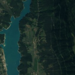
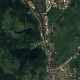
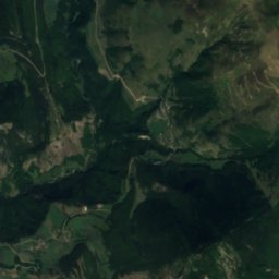
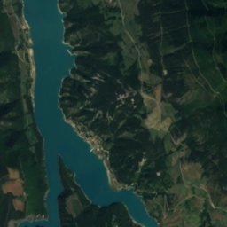
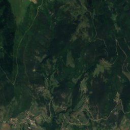
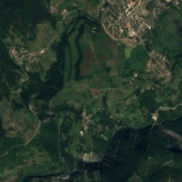
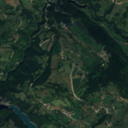
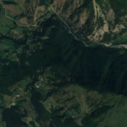
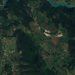
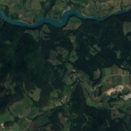
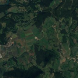
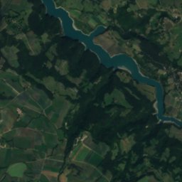
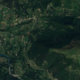
Satellite: Sentinel-2 cloudless 2016 by EOX IT Services GmbH · CC BY 4.0 · Contains modified Copernicus Sentinel data 2016
Bonne
River · 831 m


