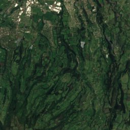
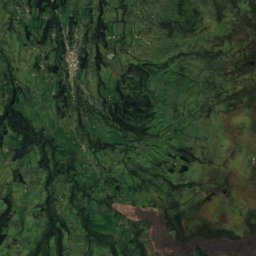
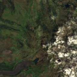
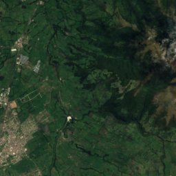
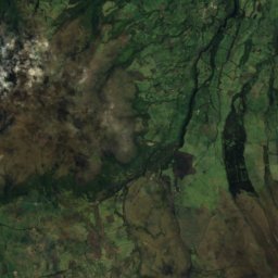
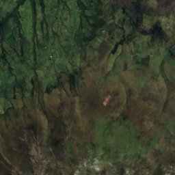
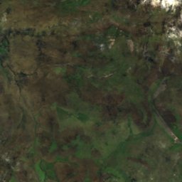
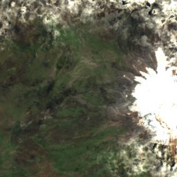
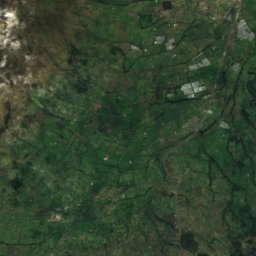
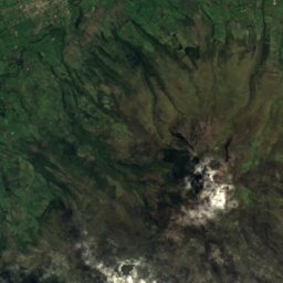
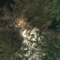
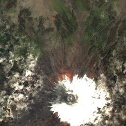

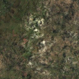
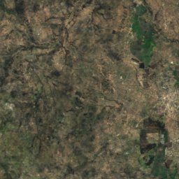
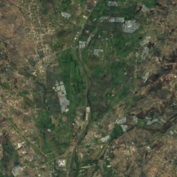
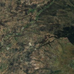

Satellite: Sentinel-2 cloudless 2016 by EOX IT Services GmbH · CC BY 4.0 · Contains modified Copernicus Sentinel data 2016
Andes · Pichincha · EcuadorSummit weather, forecast and climate
Cotopaxi volcano
Stratovolcano · last major eruption 18775,897 mUltra-prominent peakSnow likely Jan–Dec
Elevation5,897 mabove sea level
Prominence2,404 mindependent height
Isolation97 kmto a higher summit
Summit, Jul2°average high
0.69° S, 78.43° WElevation 5,897 mUTC−5 · Ecuador Time
From the valley to the top
- Summit5,897 m
- Mid-mountain4,400 m
- Valley · Machachi2,905 m
Freezing level in October: 5,850 m
iThe mountain
Cotopaxi volcano in brief
Cotopaxi volcano rises to 5,897 m in the Andes, Pichincha, Ecuador. Its topographic prominence — the height it stands above the lowest contour enclosing a higher summit — is 2,404 m, which makes it an ultra-prominent peak.
At the summit, November is the mildest month with average highs of 4°, while nights stay below freezing all year.
The nearest town in the atlas is Machachi, 25 km to the NW at 2,905 m.
iiForecast
Weather at three heights
Temperatures are adjusted to each height; summits are usually colder and windier than the valley forecast suggests.
Loading the latest forecast…
Loading the latest forecast…
Loading the latest forecast…
iiiSummit climate
The top of Cotopaxi volcano by month
Summit temperatures and precipitation
Climate normals for the summit area (~1 km grid), station-adjusted| Month | Jan | Feb | Mar | Apr | May | Jun | Jul | Aug | Sep | Oct | Nov | Dec |
|---|---|---|---|---|---|---|---|---|---|---|---|---|
| Average high | 4° | 4° | 4° | 4° | 4° | 3° | 2° | 3° | 3° | 4° | 4° | 4° |
| Average low | -4° | -3° | -3° | -3° | -4° | -5° | -6° | -5° | -5° | -4° | -4° | -4° |
| Precipitation | 218 mm | 259 mm | 324 mm | 333 mm | 251 mm | 170 mm | 115 mm | 99 mm | 164 mm | 250 mm | 260 mm | 248 mm |
| Cloud cover | 62% | 69% | 78% | 76% | 68% | 63% | 57% | 55% | 62% | 67% | 68% | 61% |
| Daylight | 12h 09 | 12h 08 | 12h 07 | 12h 06 | 12h 05 | 12h 05 | 12h 05 | 12h 05 | 12h 06 | 12h 08 | 12h 09 | 12h 10 |
| Month score | 12 | 9 | 5 | 6 | 9 | 11 | 15 | 20 | 12 | 10 | 9 | 12 |
Snow and freezing level
Average height of the 0 °C level from the summit normals (6.5 °C per km); snow months have a summit mean at or below +1 °C| Month | Jan | Feb | Mar | Apr | May | Jun | Jul | Aug | Sep | Oct | Nov | Dec |
|---|---|---|---|---|---|---|---|---|---|---|---|---|
| Freezing level | 5,900 m | 5,900 m | 5,900 m | 5,950 m | 5,900 m | 5,750 m | 5,600 m | 5,650 m | 5,800 m | 5,850 m | 5,900 m | 5,900 m |
| Summit | ❄ snow | ❄ snow | ❄ snow | ❄ snow | ❄ snow | ❄ snow | ❄ snow | ❄ snow | ❄ snow | ❄ snow | ❄ snow | ❄ snow |
ivTerrain
Cotopaxi volcano in 3D
vNeighbours
Mountains of EcuadorPeaks nearby
| Mountain | Elevation | Prominence | Distance | July summit high |
|---|---|---|---|---|
| Sincholagua Volcano | 4,899 m | – | 17 km NE | 7° |
| Quilindaña | 4,878 m | – | 15 km SE | 6° |
| Rumiñahui | 4,721 m | – | 14 km NW | 9° |

Around here
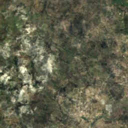
Machachi and around
Nature
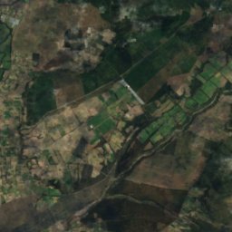
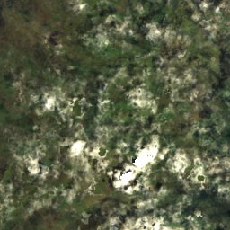
Satellite: Sentinel-2 cloudless 2016 by EOX IT Services GmbH · CC BY 4.0 · Contains modified Copernicus Sentinel data 2016
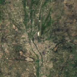
Cotopaxi National Park
National park · 226 m
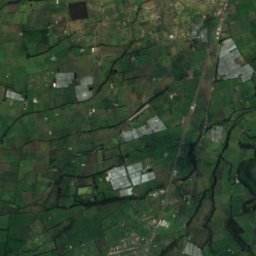
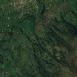
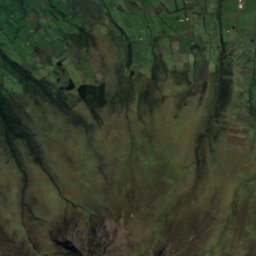
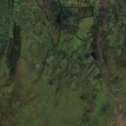
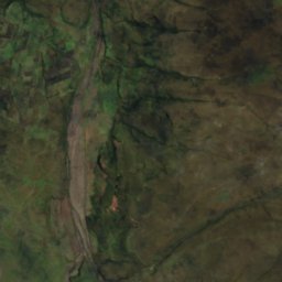
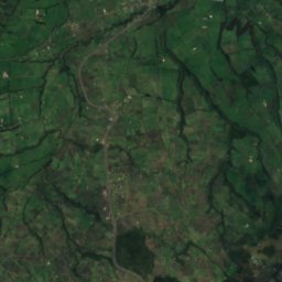
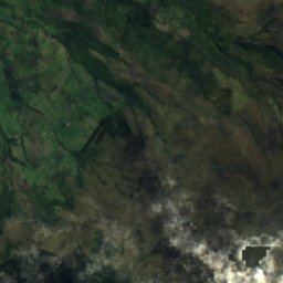
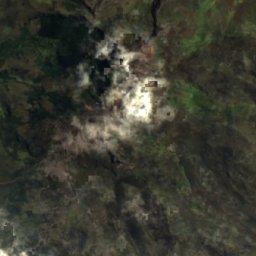
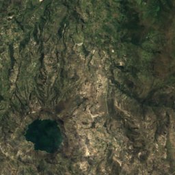
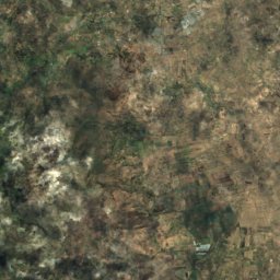
Satellite: Sentinel-2 cloudless 2016 by EOX IT Services GmbH · CC BY 4.0 · Contains modified Copernicus Sentinel data 2016
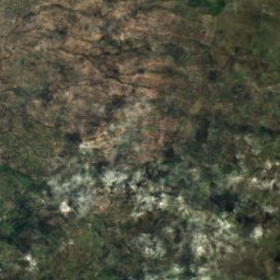
Laguna de Limpiopungu
Lake · 3,857 m
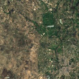
Satellite: Sentinel-2 cloudless 2016 by EOX IT Services GmbH · CC BY 4.0 · Contains modified Copernicus Sentinel data 2016
Volcán Cotopaxi
Glacier
Mountains

Photo: Tad Boniecki (Soler97 at English Wikipedia) · Public domain · Wikimedia CommonsReport this photo · linked, not stored
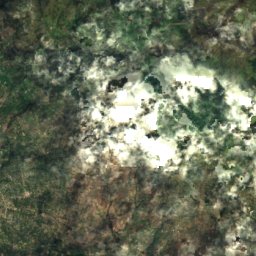
Iliniza Sur
5,263 m · Andes
Satellite: Sentinel-2 cloudless 2016 by EOX IT Services GmbH · CC BY 4.0 · Contains modified Copernicus Sentinel data 2016
Sincholagua Volcano
4,899 m · Andes


