
Photo: Adrian Michael · CC BY-SA 3.0 · Wikimedia Commons
Pico DuarteReport this photo · linked, not stored
Pico DuarteReport this photo · linked, not stored
Cordillera Central · Santiago Province · Dominican RepublicSummit weather, forecast and climate
Pico Duarte
3,101 mUltra-prominent peak
Elevation3,101 mabove sea level
Prominence3,101 mindependent height
Isolation–to a higher summit
Summit, Jul13°average high
19.03° N, 71.01° WElevation 3,101 mUTC−4 · Atlantic Standard Time
From the valley to the top
- Summit3,101 m
- Mid-mountain2,040 m
- Valley · Juncalito Abajo969 m
Freezing level in October: above the summit
iThe mountain
Pico Duarte in brief
Pico Duarte rises to 3,101 m in the Cordillera Central, Santiago Province, Dominican Republic. Its topographic prominence — the height it stands above the lowest contour enclosing a higher summit — is 3,101 m, which makes it an ultra-prominent peak.
At the summit, August is the mildest month with average highs of 13°, while nights rarely fall below freezing.
The nearest town in the atlas is Juncalito Abajo, 29 km to the NE at 969 m.
Facts
- Elevation
- 3,101 m · 10,174 ft
- Prominence
- 3,101 m
- Range
- Cordillera Central
- Region
- Santiago Province
- Country
- Dominican Republic
- Coordinates
- 19.0331, -71.0053
- Nearest airport
- Cibao International Airport (STI) · 59 km
iiForecast
Weather at three heights
Temperatures are adjusted to each height; summits are usually colder and windier than the valley forecast suggests.
Loading the latest forecast…
Loading the latest forecast…
Loading the latest forecast…
iiiSummit climate
The top of Pico Duarte by month
Summit temperatures and precipitation
Climate normals for the summit area (~1 km grid), station-adjusted| Month | Jan | Feb | Mar | Apr | May | Jun | Jul | Aug | Sep | Oct | Nov | Dec |
|---|---|---|---|---|---|---|---|---|---|---|---|---|
| Average high | 11° | 11° | 12° | 12° | 12° | 13° | 13° | 13° | 13° | 12° | 11° | 11° |
| Average low | 2° | 3° | 3° | 4° | 5° | 5° | 5° | 6° | 5° | 5° | 4° | 3° |
| Precipitation | 75 mm | 59 mm | 99 mm | 194 mm | 320 mm | 218 mm | 184 mm | 220 mm | 283 mm | 277 mm | 152 mm | 79 mm |
| Cloud cover | 21% | 23% | 27% | 31% | 43% | 46% | 42% | 45% | 48% | 42% | 32% | 25% |
| Daylight | 11h 06 | 11h 32 | 12h 01 | 12h 34 | 13h 02 | 13h 16 | 13h 10 | 12h 47 | 12h 15 | 11h 43 | 11h 14 | 11h 00 |
| Month score | 41 | 48 | 41 | 36 | 32 | 34 | 37 | 37 | 33 | 33 | 32 | 40 |
Snow and freezing level
Average height of the 0 °C level from the summit normals (6.5 °C per km); snow months have a summit mean at or below +1 °C| Month | Jan | Feb | Mar | Apr | May | Jun | Jul | Aug | Sep | Oct | Nov | Dec |
|---|---|---|---|---|---|---|---|---|---|---|---|---|
| Freezing level | 4,100 m | 4,150 m | 4,250 m | 4,350 m | 4,450 m | 4,500 m | 4,500 m | 4,550 m | 4,500 m | 4,450 m | 4,300 m | 4,150 m |
| Summit | above 0 °C | above 0 °C | above 0 °C | above 0 °C | above 0 °C | above 0 °C | above 0 °C | above 0 °C | above 0 °C | above 0 °C | above 0 °C | above 0 °C |
ivTerrain
Pico Duarte in 3D
vNeighbours
Mountains of Dominican RepublicPeaks nearby
| Mountain | Elevation | Prominence | Distance | July summit high |
|---|---|---|---|---|
| Pico del Yaque | 2,663 m | – | 7.7 km E | 16° |
| Loma del Pico | 2,514 m | – | 1.9 km N | 17° |
| Loma Sillón Hondo | 2,491 m | – | 9.6 km NW | 18° |
| Cerro de las Flores | 2,359 m | – | 16 km N | 19° |
| La Punta de Rancho de Goyo | 2,230 m | – | 18 km SW | 20° |
| Loma El Picacho | 2,136 m | – | 19 km SW | 19° |
| Pico de Piedra | 1,669 m | – | 23 km SE | 19° |
| Pico Alto | 1,527 m | – | 15 km S | 22° |
viBase towns
Where to stay nearby
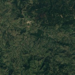
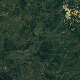
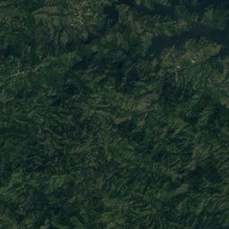
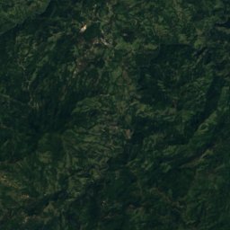
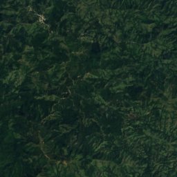
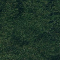
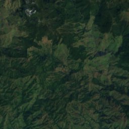
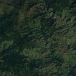
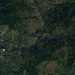
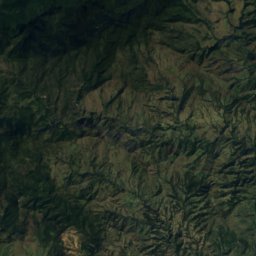
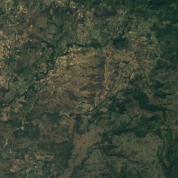
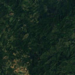
Satellite: Sentinel-2 cloudless 2016 by EOX IT Services GmbH · CC BY 4.0 · Contains modified Copernicus Sentinel data 2016
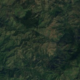
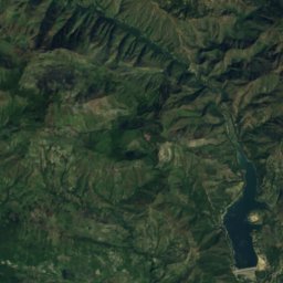
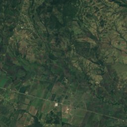
Juncalito Abajo
Santiago Province · 29 km NE
26°Oct high
17wet days
60score
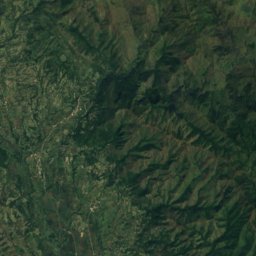
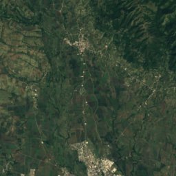
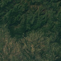
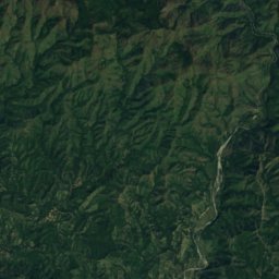
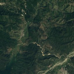
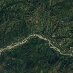
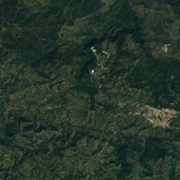
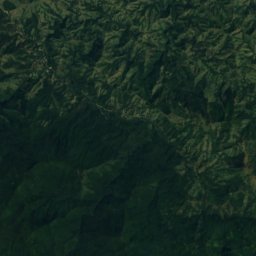
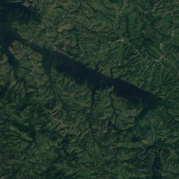
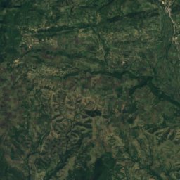
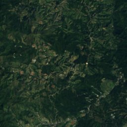
Satellite: Sentinel-2 cloudless 2016 by EOX IT Services GmbH · CC BY 4.0 · Contains modified Copernicus Sentinel data 2016
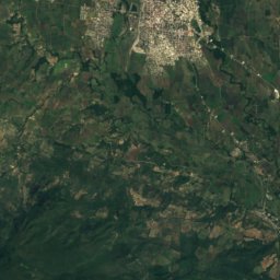
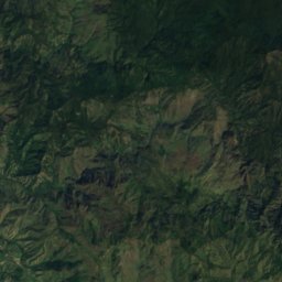
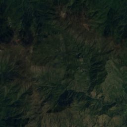
Bohechío
San Juan Province · 29 km S
29°Oct high
16wet days
48score
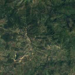
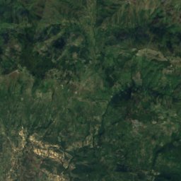
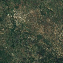
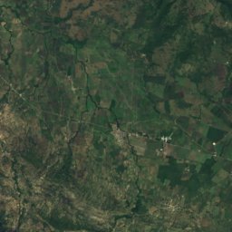
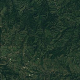
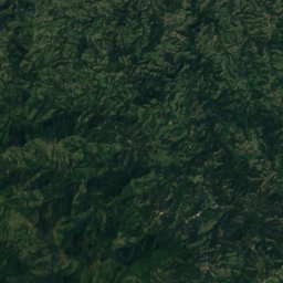
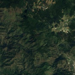
Satellite: Sentinel-2 cloudless 2016 by EOX IT Services GmbH · CC BY 4.0 · Contains modified Copernicus Sentinel data 2016
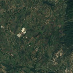
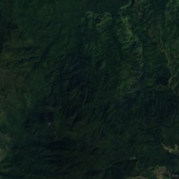
Juan de Herrera
San Juan Province · 30 km SW
30°Oct high
16wet days
45score
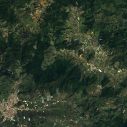
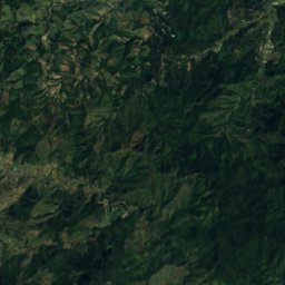
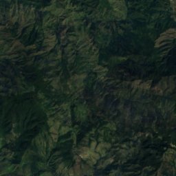
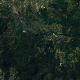
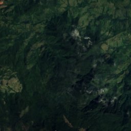
Around here
Juncalito Abajo and around
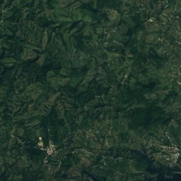
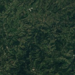
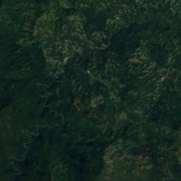
Satellite: Sentinel-2 cloudless 2016 by EOX IT Services GmbH · CC BY 4.0 · Contains modified Copernicus Sentinel data 2016
Juncalito Abajo
Santiago Province · Dominican Republic
Jan–Marbest months
27°July high
969 maltitude
Nature
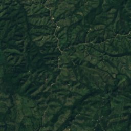
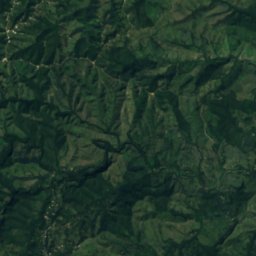
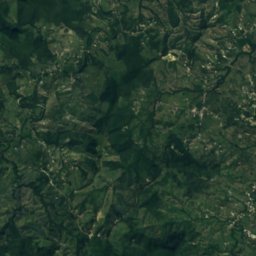
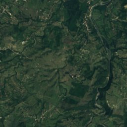
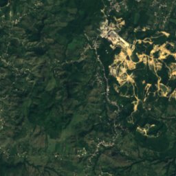
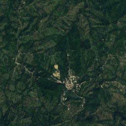
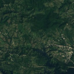
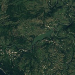
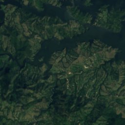
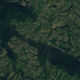
Satellite: Sentinel-2 cloudless 2016 by EOX IT Services GmbH · CC BY 4.0 · Contains modified Copernicus Sentinel data 2016
Embalse de Bao
Lake · 327 m

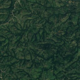
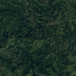
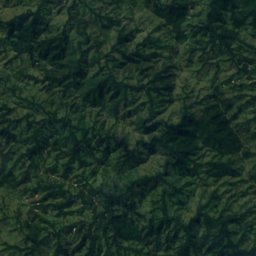
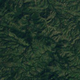
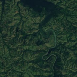
Satellite: Sentinel-2 cloudless 2016 by EOX IT Services GmbH · CC BY 4.0 · Contains modified Copernicus Sentinel data 2016
Embalse Tavera
Lake · 328 m
Mountains
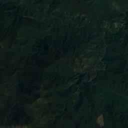
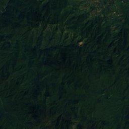
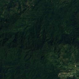
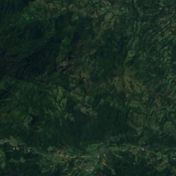
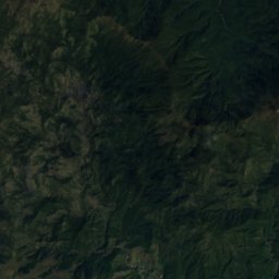
Satellite: Sentinel-2 cloudless 2016 by EOX IT Services GmbH · CC BY 4.0 · Contains modified Copernicus Sentinel data 2016
Pico del Yaque
2,663 m

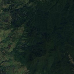
Satellite: Sentinel-2 cloudless 2016 by EOX IT Services GmbH · CC BY 4.0 · Contains modified Copernicus Sentinel data 2016
Loma del Pico
2,514 m
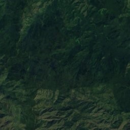
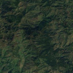


Satellite: Sentinel-2 cloudless 2016 by EOX IT Services GmbH · CC BY 4.0 · Contains modified Copernicus Sentinel data 2016
Loma Sillón Hondo
2,491 m