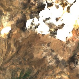
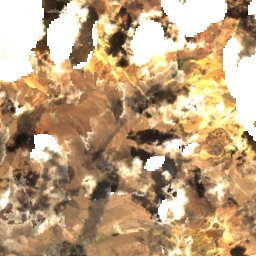
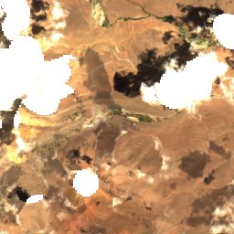
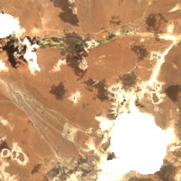
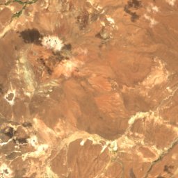
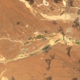
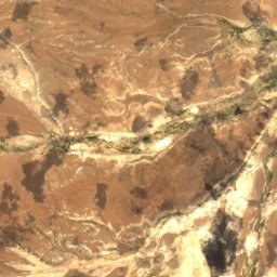
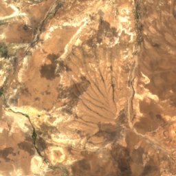
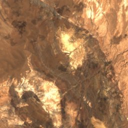
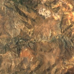
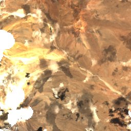
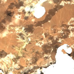
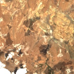
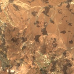
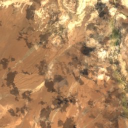
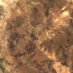
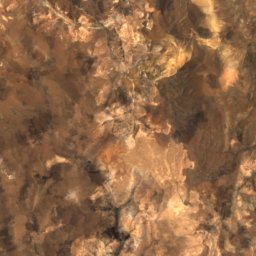
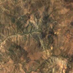
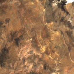
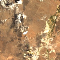
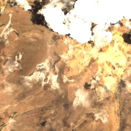
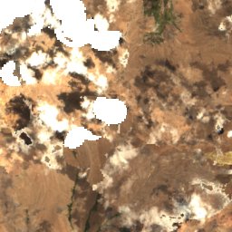
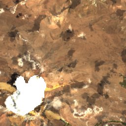
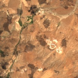
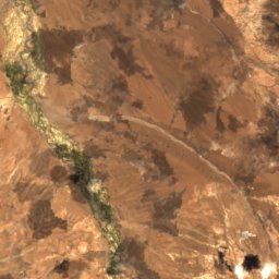
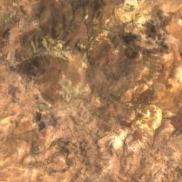
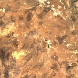
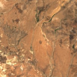
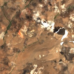
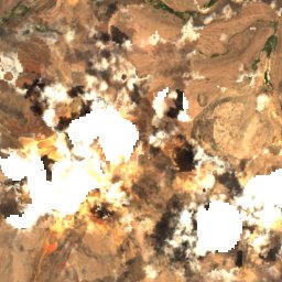
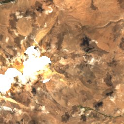
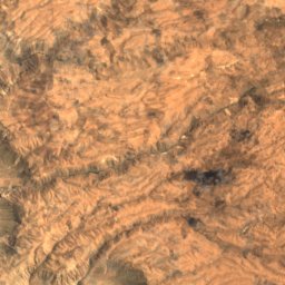
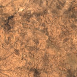
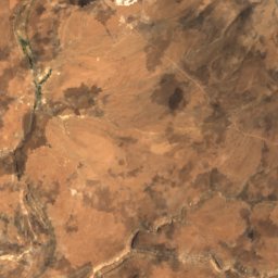
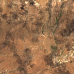
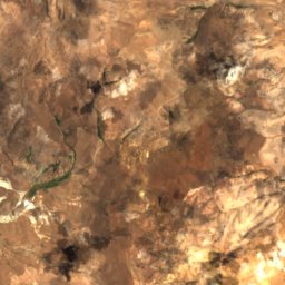
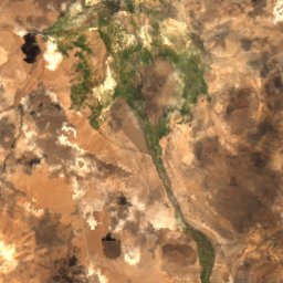
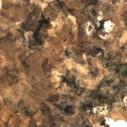
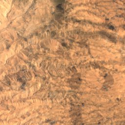
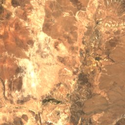
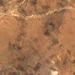
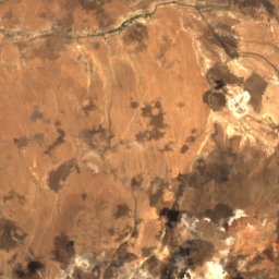
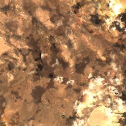
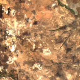
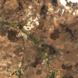
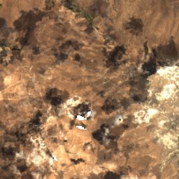
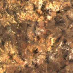
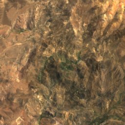
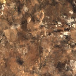
Satellite: Sentinel-2 cloudless 2016 by EOX IT Services GmbH · CC BY 4.0 · Contains modified Copernicus Sentinel data 2016
Arica y Parinacota Region · ChileSummit weather, forecast and climate
Lexone
Volcano5,340 m
Elevation5,340 mabove sea level
Prominence–independent height
Isolation27 kmto a higher summit
Summit, Jul7°average high
17.87° S, 69.48° WElevation 5,340 mUTC−4 · Bolivia Time
From the valley to the top
- Summit5,340 m
- Mid-mountain4,700 m
- Valley · Charaña4,068 m
Freezing level in October: above the summit
iThe mountain
Lexone in brief
Lexone rises to 5,340 m, Arica y Parinacota Region, Chile.
At the summit, November is the mildest month with average highs of 12°, while nights stay below freezing all year.
The nearest town is Charaña, 31 km to the N at 4,068 m.
Facts
- Elevation
- 5,340 m · 17,520 ft
- Region
- Arica y Parinacota Region
- Country
- Chile
- Coordinates
- -17.8700, -69.4800
- Nearest airport
- Coronel FAP Carlos Ciriani Santa Rosa International Airport (TCQ) · 87 km
iiForecast
Weather at three heights
Temperatures are adjusted to each height; summits are usually colder and windier than the valley forecast suggests.
Loading the latest forecast…
Loading the latest forecast…
Loading the latest forecast…
iiiSummit climate
The top of Lexone by month
Summit temperatures and precipitation
Climate normals for the summit area (~1 km grid), station-adjusted| Month | Jan | Feb | Mar | Apr | May | Jun | Jul | Aug | Sep | Oct | Nov | Dec |
|---|---|---|---|---|---|---|---|---|---|---|---|---|
| Average high | 9° | 9° | 9° | 9° | 8° | 7° | 7° | 8° | 10° | 11° | 12° | 10° |
| Average low | -2° | -2° | -2° | -4° | -5° | -6° | -6° | -5° | -5° | -3° | -3° | -2° |
| Precipitation | 181 mm | 153 mm | 112 mm | 19 mm | 4 mm | 4 mm | 5 mm | 6 mm | 4 mm | 12 mm | 34 mm | 68 mm |
| Cloud cover | 71% | 65% | 58% | 41% | 21% | 16% | 13% | 15% | 19% | 36% | 48% | 63% |
| Daylight | 13h 05 | 12h 40 | 12h 12 | 11h 42 | 11h 17 | 11h 04 | 11h 09 | 11h 30 | 11h 59 | 12h 29 | 12h 57 | 13h 11 |
| Month score | 8 | 10 | 16 | 48 | 57 | 57 | 57 | 56 | 57 | 60 | 49 | 28 |
Snow and freezing level
Average height of the 0 °C level from the summit normals (6.5 °C per km); snow months have a summit mean at or below +1 °C| Month | Jan | Feb | Mar | Apr | May | Jun | Jul | Aug | Sep | Oct | Nov | Dec |
|---|---|---|---|---|---|---|---|---|---|---|---|---|
| Freezing level | 5,900 m | 5,900 m | 5,850 m | 5,700 m | 5,600 m | 5,450 m | 5,400 m | 5,550 m | 5,700 m | 5,950 m | 6,000 m | 6,000 m |
| Summit | above 0 °C | above 0 °C | above 0 °C | above 0 °C | above 0 °C | above 0 °C | above 0 °C | above 0 °C | above 0 °C | above 0 °C | above 0 °C | above 0 °C |
ivTerrain
Lexone in 3D
viBase towns
Where to stay nearby

Around here
Putre and around

Nature

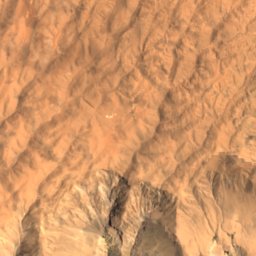
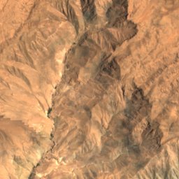
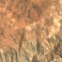
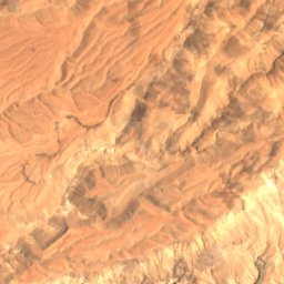
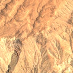
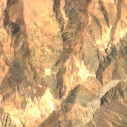
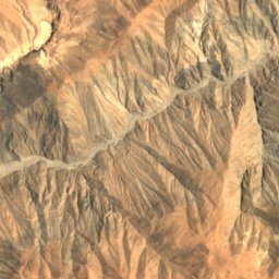
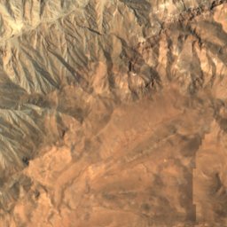
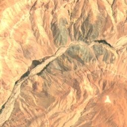
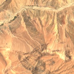
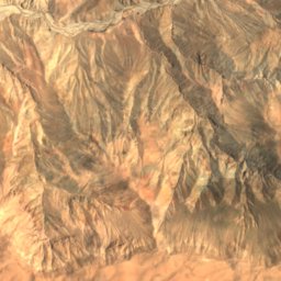
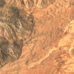
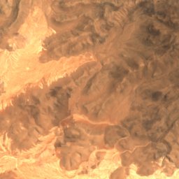
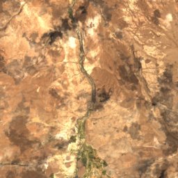
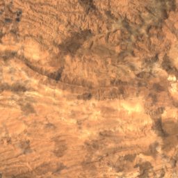
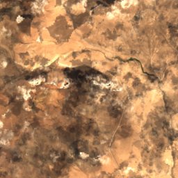
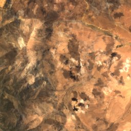
Satellite: Sentinel-2 cloudless 2016 by EOX IT Services GmbH · CC BY 4.0 · Contains modified Copernicus Sentinel data 2016
Chironta Dam
Lake
Mountains

Photo: Alexson Scheppa Peisino(AlexSP) · Public domain · Wikimedia CommonsReport this photo · linked, not stored
Taapaca
5,860 m · Cordillera Occidental
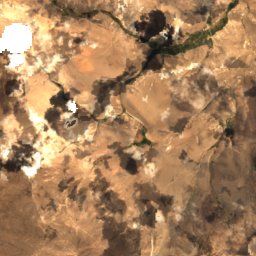
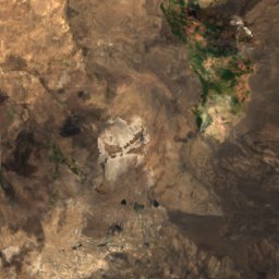
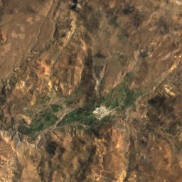
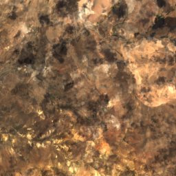
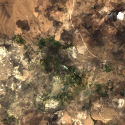
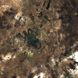
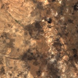
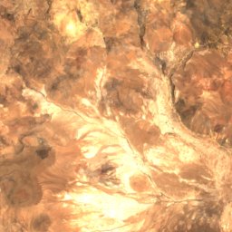
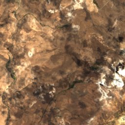
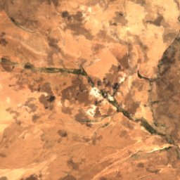
Satellite: Sentinel-2 cloudless 2016 by EOX IT Services GmbH · CC BY 4.0 · Contains modified Copernicus Sentinel data 2016
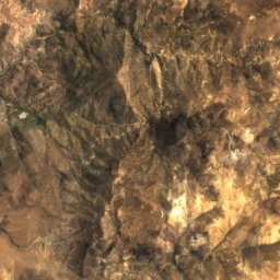
Mount Laram Q'awa
5,439 m · Andes


Heritage


Iglesia de San Francisco de Asís, Socoroma
Historical Monument of Chile