




















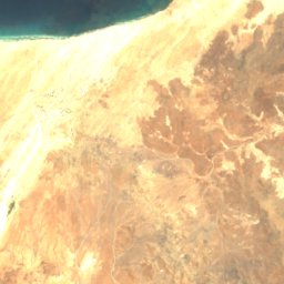
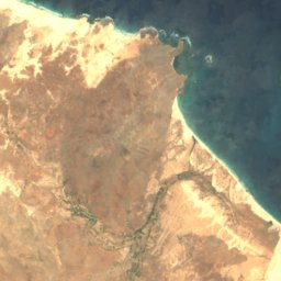

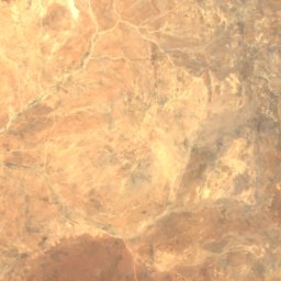
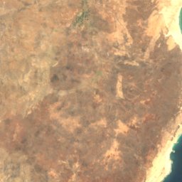
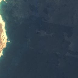


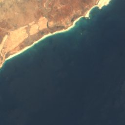

Satellite: Sentinel-2 cloudless 2016 by EOX IT Services GmbH · CC BY 4.0 · Contains modified Copernicus Sentinel data 2016

Photo: Ingo Wölbern · Public domain · Wikimedia Commons
Monte Santo AntónioReport this photo · linked, not stored
Monte Santo AntónioMonte Santo AntónioReport this photo · linked, not stored

Photo: Iwoelbern · Public domain · Wikimedia Commons
Rocha EstânciaReport this photo · linked, not stored
Rocha EstânciaRocha EstânciaReport this photo · linked, not stored
Boa Vista · Cape VerdeSummit weather, forecast and climate
Vigia
146 m
Elevation146 mabove sea level
Prominence–independent height
Isolation19 kmto a higher summit
Summit, Jul27°average high
16.21° N, 22.91° WElevation 146 mUTC−1 · Cape Verde Standard Time
From the valley to the top
- Summit146 m
- Mid-mountain70 m
- Valley0 m
Freezing level in October: above the summit
iThe mountain
Vigia in brief
Vigia rises to 146 m, Boa Vista, Cape Verde.
At the summit, September is the mildest month with average highs of 28°, while nights rarely fall below freezing.
The nearest town in the atlas is Bom Sossego, 3.9 km to the S at 1 m.
Facts
- Elevation
- 146 m · 479 ft
- Region
- Boa Vista
- Country
- Cape Verde
- Coordinates
- 16.2121, -22.9125
- Nearest airport
- Aristides Pereira International Airport (BVC) · 8.8 km
iiForecast
Weather at three heights
Temperatures are adjusted to each height; summits are usually colder and windier than the valley forecast suggests.
Loading the latest forecast…
Loading the latest forecast…
Loading the latest forecast…
iiiSummit climate
The top of Vigia by month
Summit temperatures and precipitation
Climate normals for the summit area (~1 km grid), station-adjusted| Month | Jan | Feb | Mar | Apr | May | Jun | Jul | Aug | Sep | Oct | Nov | Dec |
|---|---|---|---|---|---|---|---|---|---|---|---|---|
| Average high | 23° | 23° | 24° | 24° | 25° | 26° | 27° | 28° | 28° | 28° | 27° | 25° |
| Average low | 20° | 20° | 20° | 21° | 21° | 22° | 23° | 25° | 25° | 25° | 23° | 22° |
| Precipitation | 4 mm | 2 mm | 1 mm | 0 mm | 1 mm | 0 mm | 3 mm | 18 mm | 38 mm | 10 mm | 2 mm | 2 mm |
| Cloud cover | 30% | 28% | 22% | 23% | 18% | 15% | 21% | 25% | 24% | 28% | 36% | 34% |
| Daylight | 11h 16 | 11h 37 | 12h 02 | 12h 30 | 12h 53 | 13h 05 | 13h 00 | 12h 41 | 12h 14 | 11h 47 | 11h 23 | 11h 10 |
| Month score | 99 | 99 | 100 | 100 | 100 | 97 | 91 | 82 | 76 | 85 | 90 | 98 |
Snow and freezing level
Average height of the 0 °C level from the summit normals (6.5 °C per km); snow months have a summit mean at or below +1 °C| Month | Jan | Feb | Mar | Apr | May | Jun | Jul | Aug | Sep | Oct | Nov | Dec |
|---|---|---|---|---|---|---|---|---|---|---|---|---|
| Freezing level | 3,500 m | 3,500 m | 3,500 m | 3,600 m | 3,650 m | 3,800 m | 4,000 m | 4,200 m | 4,250 m | 4,200 m | 4,000 m | 3,750 m |
| Summit | above 0 °C | above 0 °C | above 0 °C | above 0 °C | above 0 °C | above 0 °C | above 0 °C | above 0 °C | above 0 °C | above 0 °C | above 0 °C | above 0 °C |
ivTerrain
Vigia in 3D
vNeighbours
Mountains of Cape VerdePeaks nearby
| Mountain | Elevation | Prominence | Distance | July summit high |
|---|---|---|---|---|
| Monte Santo António | 379 m | – | 20 km S | 27° |
| Monte Caçador and Pico Forcado Protected Countryside | 364 m | – | 19 km SE | 28° |
| Rocha Estância | 357 m | – | 19 km S | 27° |
viBase towns
Where to stay nearby


Photo: Bjørn Christian Tørrissen · CC BY-SA 3.0 · Wikimedia CommonsReport this photo · linked, not stored
Sal Rei
Boa Vista · 4.0 km S
28°Oct high
3wet days
80score


Photo: Bjørn Christian Tørrissen · CC BY-SA 3.0 · Wikimedia CommonsReport this photo · linked, not stored
Bofareira
Boa Vista · 10 km E
29°Oct high
3wet days
78score
Around here
Bom Sossego and around
Nature


Photo: Ximonic (Simo Räsänen) · CC BY-SA 4.0 · Wikimedia CommonsReport this photo · linked, not stored
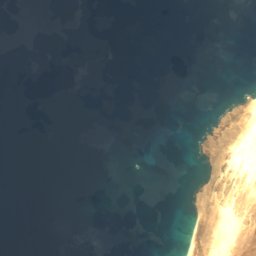
Cabo de Santa Maria
Beach
Mountains

Satellite: Sentinel-2 cloudless 2016 by EOX IT Services GmbH · CC BY 4.0 · Contains modified Copernicus Sentinel data 2016
Monte Caçador and Pico Forcado Protected Countryside
364 m
Heritage








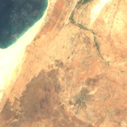
Satellite: Sentinel-2 cloudless 2016 by EOX IT Services GmbH · CC BY 4.0 · Contains modified Copernicus Sentinel data 2016
Chapel of Our Lady of Fatima
Heritage of Portuguese Influence






Satellite: Sentinel-2 cloudless 2016 by EOX IT Services GmbH · CC BY 4.0 · Contains modified Copernicus Sentinel data 2016
Ribeira do Rabil Important Bird Area
Ramsar site