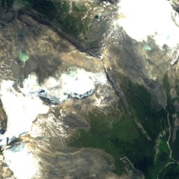
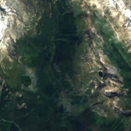
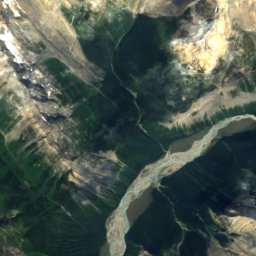
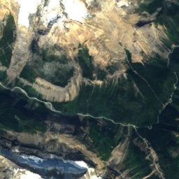
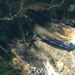
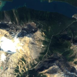
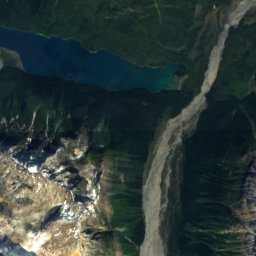
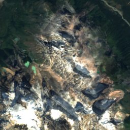
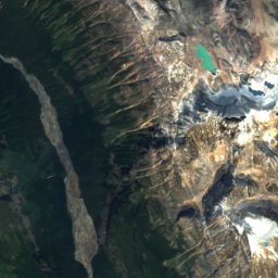
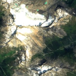
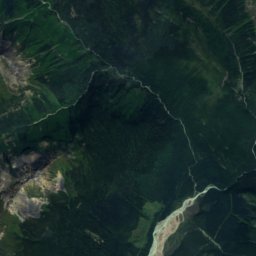
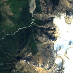
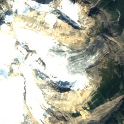
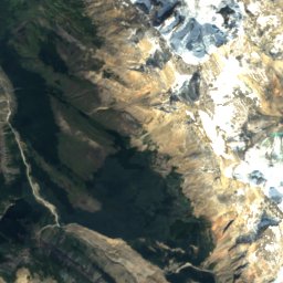
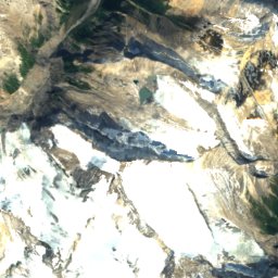
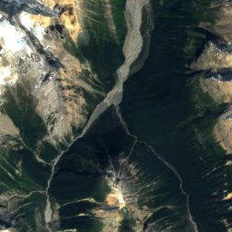
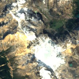
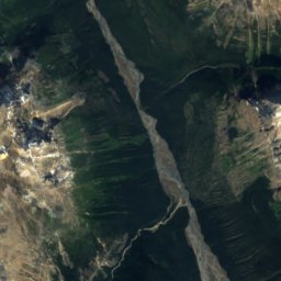
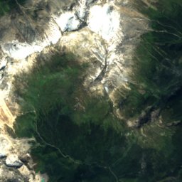
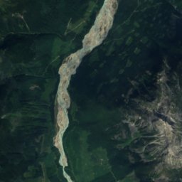
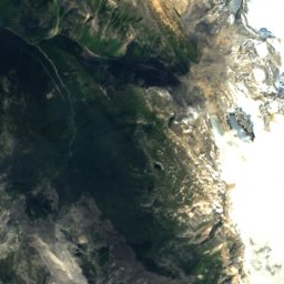
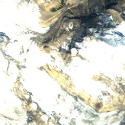
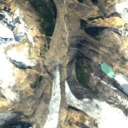
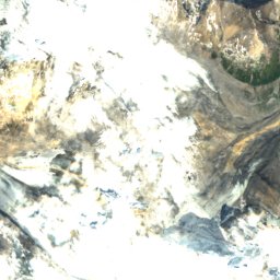
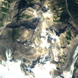
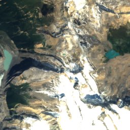
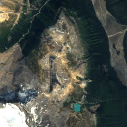
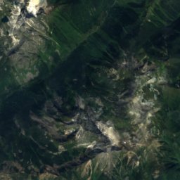
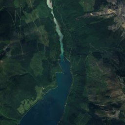
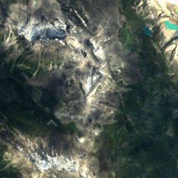
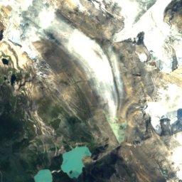
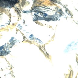
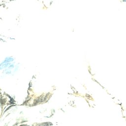
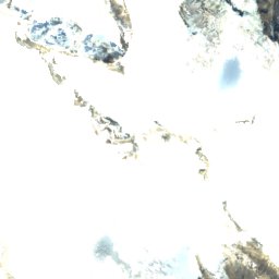
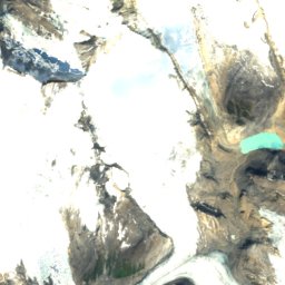
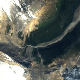
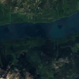
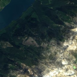
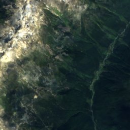
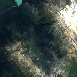
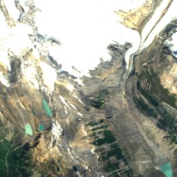
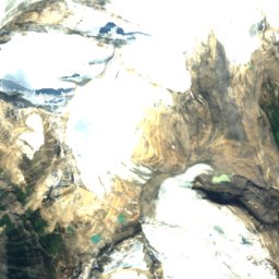
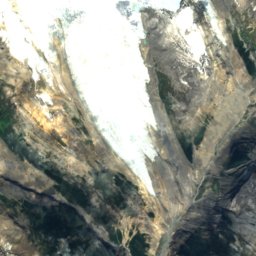
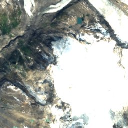
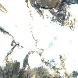
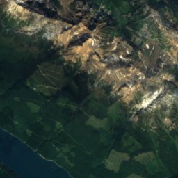
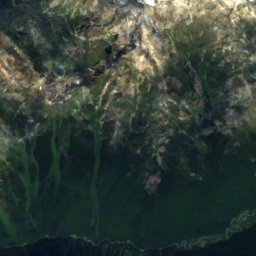
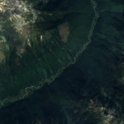
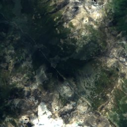
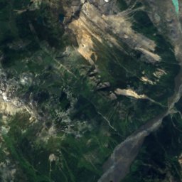
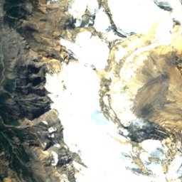
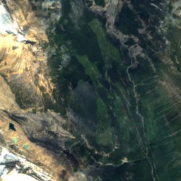
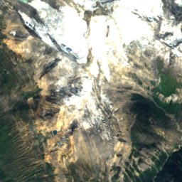
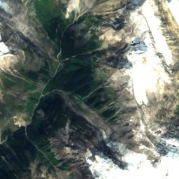
Satellite: Sentinel-2 cloudless 2016 by EOX IT Services GmbH · CC BY 4.0 · Contains modified Copernicus Sentinel data 2016

Photo: Hansueli Krapf · CC BY-SA 4.0 · Wikimedia Commons
Mount QuincyReport this photo · linked, not stored
Mount QuincyMount QuincyReport this photo · linked, not stored

Park Ranges · CanadaSummit weather, forecast and climate
Mount Shackleton
3,327 mSnow likely Jan–Jun · Sep–Dec
Elevation3,327 mabove sea level
Prominence557 mindependent height
Isolation8.0 kmto a higher summit
Summit, Jul8°average high
52.18° N, 117.90° WElevation 3,327 mUTC+0 · Coordinated Universal Time
From the valley to the top
- Summit3,327 m
- Mid-mountain2,730 m
- Valley2,127 m
Freezing level in October: 1,850 m
iThe mountain
Mount Shackleton in brief
Mount Shackleton rises to 3,327 m in the Park Ranges, Canada. Its topographic prominence — the height it stands above the lowest contour enclosing a higher summit — is 557 m.
At the summit, August is the mildest month with average highs of 8°, while nights stay below freezing all year. Daytime highs climb above zero from June to September.
Facts
- Elevation
- 3,327 m · 10,915 ft
- Prominence
- 557 m
- Range
- Park Ranges
- Country
- Canada
- Coordinates
- 52.1836, -117.9031
- Nearest airport
- Kamloops John Moose Fulton Field Regional Airport (YKA) · 241 km
iiForecast
Weather at three heights
Temperatures are adjusted to each height; summits are usually colder and windier than the valley forecast suggests.
Loading the latest forecast…
Loading the latest forecast…
Loading the latest forecast…
iiiSummit climate
The top of Mount Shackleton by month
Summit temperatures and precipitation
Climate normals for the summit area (~1 km grid), station-adjusted| Month | Jan | Feb | Mar | Apr | May | Jun | Jul | Aug | Sep | Oct | Nov | Dec |
|---|---|---|---|---|---|---|---|---|---|---|---|---|
| Average high | -18° | -15° | -11° | -6° | -1° | 4° | 8° | 8° | 3° | -6° | -14° | -19° |
| Average low | -23° | -22° | -18° | -14° | -10° | -5° | -1° | -2° | -6° | -13° | -19° | -24° |
| Precipitation | 215 mm | 132 mm | 134 mm | 110 mm | 114 mm | 157 mm | 176 mm | 166 mm | 147 mm | 188 mm | 230 mm | 209 mm |
| Cloud cover | 66% | 60% | 61% | 55% | 51% | 52% | 42% | 39% | 46% | 55% | 67% | 66% |
| Daylight | 8h 15 | 9h 58 | 11h 50 | 13h 55 | 15h 42 | 16h 44 | 16h 18 | 14h 42 | 12h 42 | 10h 42 | 8h 48 | 7h 45 |
| Month score | 10 | 13 | 12 | 17 | 18 | 16 | 20 | 21 | 18 | 15 | 10 | 10 |
Snow and freezing level
Average height of the 0 °C level from the summit normals (6.5 °C per km); snow months have a summit mean at or below +1 °C| Month | Jan | Feb | Mar | Apr | May | Jun | Jul | Aug | Sep | Oct | Nov | Dec |
|---|---|---|---|---|---|---|---|---|---|---|---|---|
| Freezing level | 200 m | 500 m | 1,100 m | 1,800 m | 2,500 m | 3,250 m | 3,850 m | 3,850 m | 3,050 m | 1,850 m | 700 m | -0 m |
| Summit | ❄ snow | ❄ snow | ❄ snow | ❄ snow | ❄ snow | ❄ snow | above 0 °C | above 0 °C | ❄ snow | ❄ snow | ❄ snow | ❄ snow |
ivTerrain
Mount Shackleton in 3D
vNeighbours
Mountains of CanadaPeaks nearby
| Mountain | Elevation | Prominence | Distance | July summit high |
|---|---|---|---|---|
| Mount Clemenceau | 3,664 m | 1,499 m | 8.0 km NW | 6° |
| Apex Mountain | 3,250 m | 510 m | 6.5 km NE | 8° |
| Chaba Peak | 3,212 m | 391 m | 16 km E | 9° |
| Ghost Mountain | 3,203 m | 547 m | 14 km N | 9° |
| Eden Peak | 3,198 m | 267 m | 12 km E | 9° |
| Mount Quincy | 3,150 m | 508 m | 23 km NE | 8° |
| Wales Peak | 3,121 m | 210 m | 17 km E | 9° |
| Triad Peak | 3,058 m | 198 m | 24 km E | 10° |