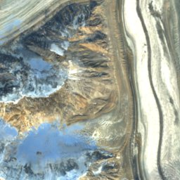
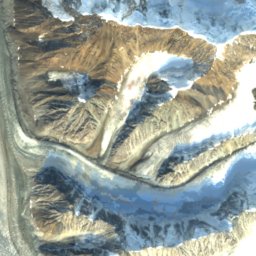
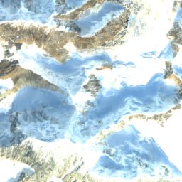
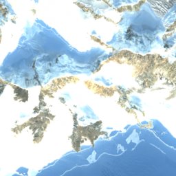
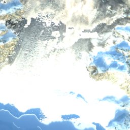
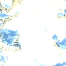
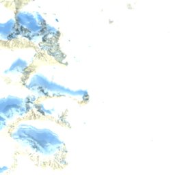

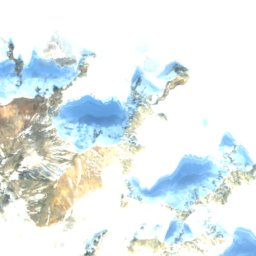
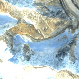
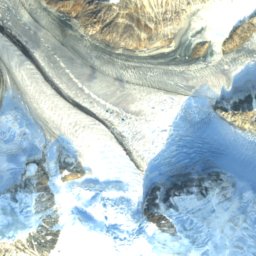
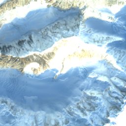
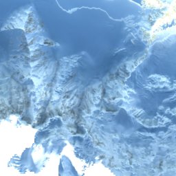
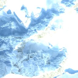

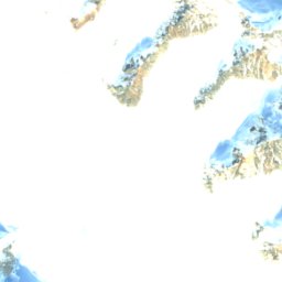
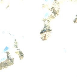
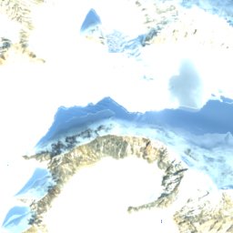
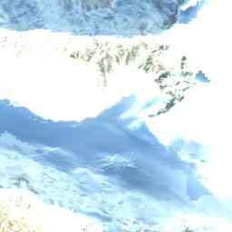


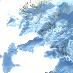
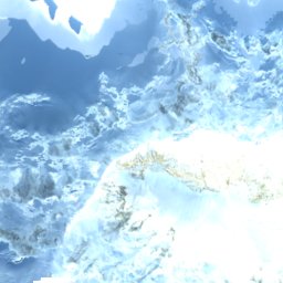
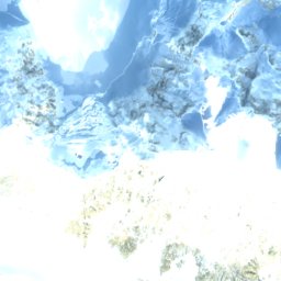
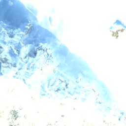
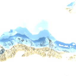
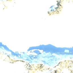
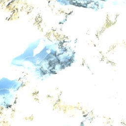
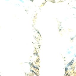


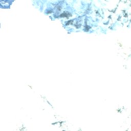

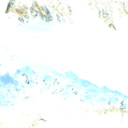
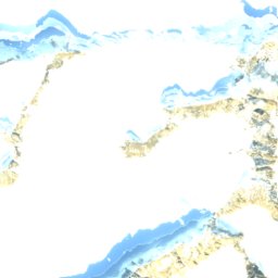
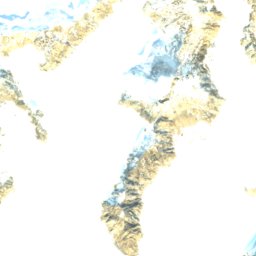
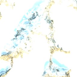
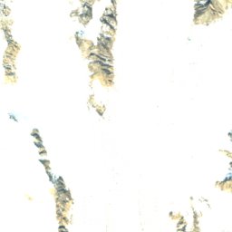
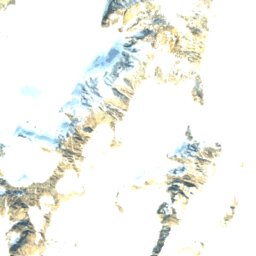
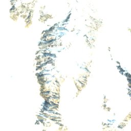
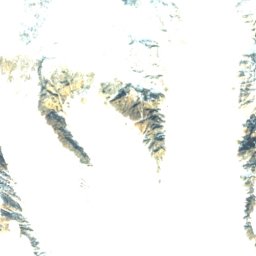
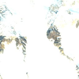
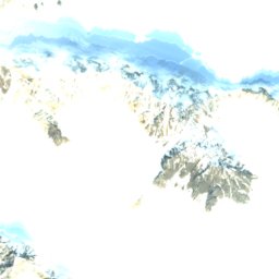
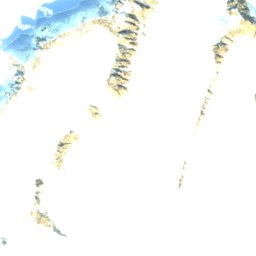
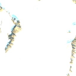
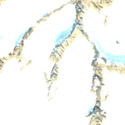
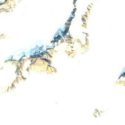
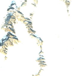


Satellite: Sentinel-2 cloudless 2016 by EOX IT Services GmbH · CC BY 4.0 · Contains modified Copernicus Sentinel data 2016

Photo: Jack French from San Francisco, USA · CC BY 2.0 · Wikimedia Commons
McArthur PeakReport this photo · linked, not stored
McArthur PeakMcArthur PeakReport this photo · linked, not stored

Saint Elias Mountains · CanadaSummit weather, forecast and climate
Mount Logan
5,959 mUltra-prominent peakSnow likely Jan–Dec
Elevation5,959 mabove sea level
Prominence5,250 mindependent height
Isolation–to a higher summit
Summit, Jul-21°average high
60.57° N, 140.41° WElevation 5,959 mUTC+0 · Coordinated Universal Time
From the valley to the top
- Summit5,959 m
- Mid-mountain5,360 m
- Valley4,759 m
Freezing level in October: 600 m
iThe mountain
Mount Logan in brief
Mount Logan rises to 5,959 m in the Saint Elias Mountains, Canada. Its topographic prominence — the height it stands above the lowest contour enclosing a higher summit — is 5,250 m, which makes it an ultra-prominent peak.
At the summit, July is the mildest month with average highs of -21°, while nights stay below freezing all year. Even daytime highs stay below zero in every month.
Facts
- Elevation
- 5,959 m · 19,551 ft
- Prominence
- 5,250 m
- Range
- Saint Elias Mountains
- Country
- Canada
- Coordinates
- 60.5672, -140.4053
- Nearest airport
- Yakutat Airport (YAK) · 125 km
iiForecast
Weather at three heights
Temperatures are adjusted to each height; summits are usually colder and windier than the valley forecast suggests.
Loading the latest forecast…
Loading the latest forecast…
Loading the latest forecast…
iiiSummit climate
The top of Mount Logan by month
Summit temperatures and precipitation
Climate normals for the summit area (~1 km grid), station-adjusted| Month | Jan | Feb | Mar | Apr | May | Jun | Jul | Aug | Sep | Oct | Nov | Dec |
|---|---|---|---|---|---|---|---|---|---|---|---|---|
| Average high | -38° | -38° | -37° | -33° | -28° | -23° | -21° | -22° | -27° | -32° | -37° | -38° |
| Average low | -43° | -42° | -42° | -39° | -33° | -28° | -25° | -27° | -31° | -37° | -42° | -43° |
| Precipitation | 482 mm | 359 mm | 311 mm | 253 mm | 209 mm | 164 mm | 173 mm | 358 mm | 576 mm | 675 mm | 485 mm | 533 mm |
| Cloud cover | 59% | 57% | 53% | 54% | 50% | 47% | 44% | 48% | 57% | 64% | 63% | 64% |
| Daylight | 6h 35 | 9h 08 | 11h 45 | 14h 38 | 17h 18 | 19h 02 | 18h 15 | 15h 45 | 12h 55 | 10h 10 | 7h 26 | 5h 45 |
| Month score | 13 | 14 | 15 | 15 | 17 | 18 | 19 | 18 | 14 | 11 | 11 | 11 |
Snow and freezing level
Average height of the 0 °C level from the summit normals (6.5 °C per km); snow months have a summit mean at or below +1 °C| Month | Jan | Feb | Mar | Apr | May | Jun | Jul | Aug | Sep | Oct | Nov | Dec |
|---|---|---|---|---|---|---|---|---|---|---|---|---|
| Freezing level | valley | valley | valley | 400 m | 1,250 m | 1,950 m | 2,350 m | 2,200 m | 1,500 m | 600 m | valley | valley |
| Summit | ❄ snow | ❄ snow | ❄ snow | ❄ snow | ❄ snow | ❄ snow | ❄ snow | ❄ snow | ❄ snow | ❄ snow | ❄ snow | ❄ snow |
ivTerrain
Mount Logan in 3D
vNeighbours
Mountains of CanadaPeaks nearby
| Mountain | Elevation | Prominence | Distance | July summit high |
|---|---|---|---|---|
| King Peak (Yukon) | 5,173 m | 1,073 m | 14 km W | -14° |
| McArthur Peak | 4,344 m | 924 m | 11 km NE | -9° |