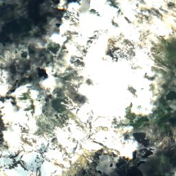
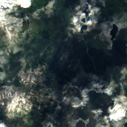
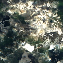
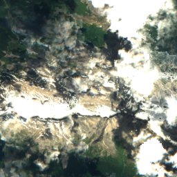
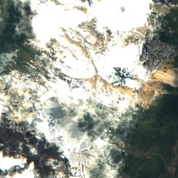
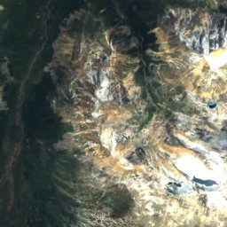
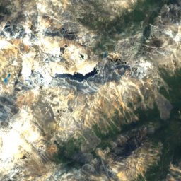
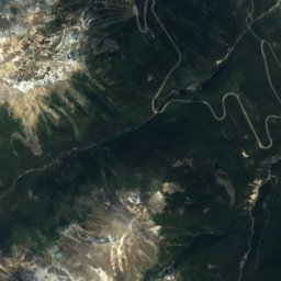
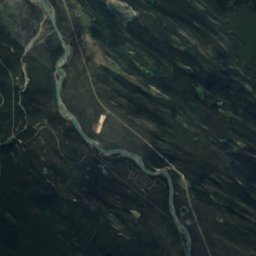
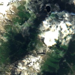
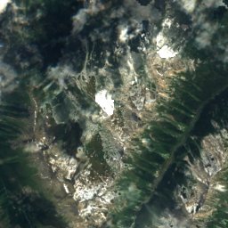
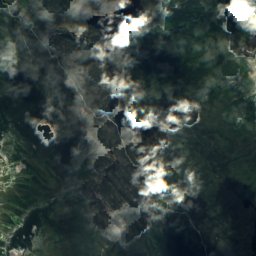
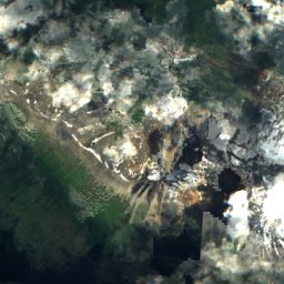
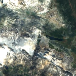
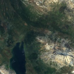
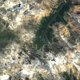
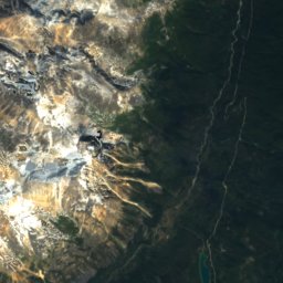
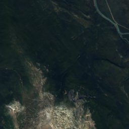
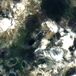
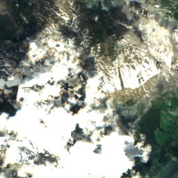
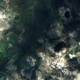
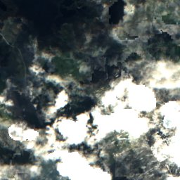
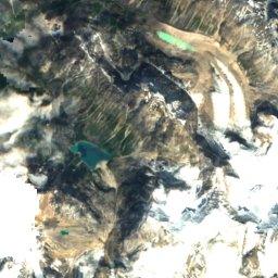
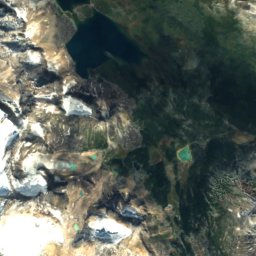
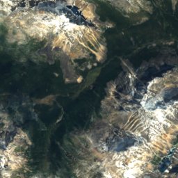
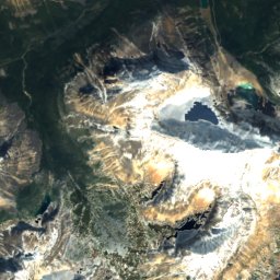
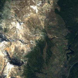
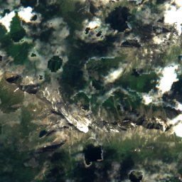
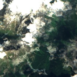
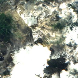
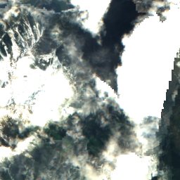
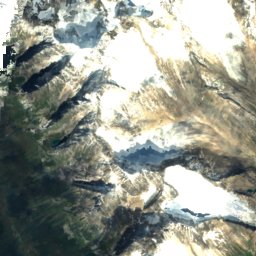
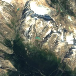
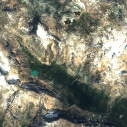
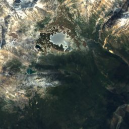
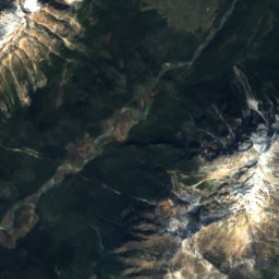
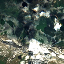
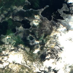
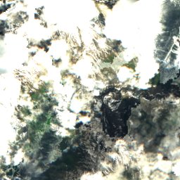
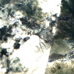
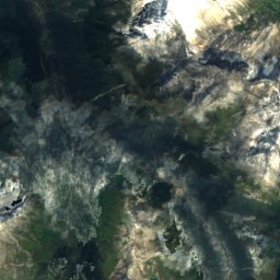
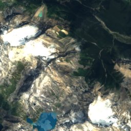
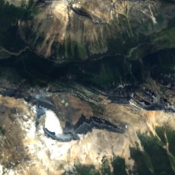
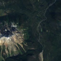
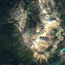
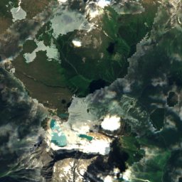
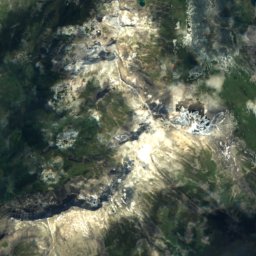
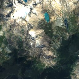
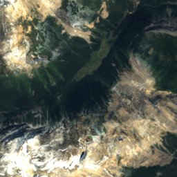
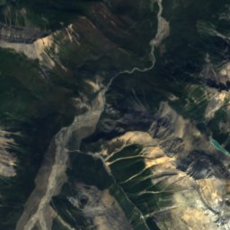
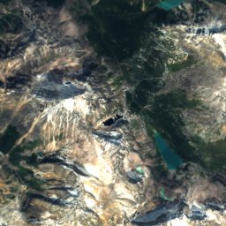
Satellite: Sentinel-2 cloudless 2016 by EOX IT Services GmbH · CC BY 4.0 · Contains modified Copernicus Sentinel data 2016

Photo: Dave Bezaire & Susi Havens-Bezaire · CC BY-SA 2.0 · Wikimedia Commons
Mount Edith CavellReport this photo · linked, not stored
Mount Edith CavellMount Edith CavellReport this photo · linked, not stored

Photo: ThartmannWiki · CC BY-SA 4.0 · Wikimedia Commons
Dungeon PeakReport this photo · linked, not stored
Dungeon PeakDungeon PeakReport this photo · linked, not stored

Photo: Eggbones · CC BY-SA 4.0 · Wikimedia Commons
Throne MountainReport this photo · linked, not stored
Throne MountainThrone MountainReport this photo · linked, not stored

Photo: Robert Berdan · CC BY-SA 4.0 · Wikimedia Commons
Mount ErebusReport this photo · linked, not stored
Mount ErebusMount ErebusReport this photo · linked, not stored
Park Ranges · Alberta · CanadaSummit weather, forecast and climate
Elephas Mountain
2,978 mSnow likely Jan–May · Oct–Dec
Elevation2,978 mabove sea level
Prominence328 mindependent height
Isolation2.0 kmto a higher summit
Summit, Jul12°average high
52.60° N, 118.31° WElevation 2,978 mUTC−6 · Mountain Daylight Time
From the valley to the top
- Summit2,978 m
- Mid-mountain2,380 m
- Valley1,778 m
Freezing level in October: 2,000 m
iThe mountain
Elephas Mountain in brief
Elephas Mountain rises to 2,978 m in the Park Ranges, Alberta, Canada. Its topographic prominence — the height it stands above the lowest contour enclosing a higher summit — is 328 m.
At the summit, August is the mildest month with average highs of 12°, while nights fall below freezing in 10 months of the year. Daytime highs climb above zero from May to September.
iiForecast
Weather at three heights
Temperatures are adjusted to each height; summits are usually colder and windier than the valley forecast suggests.
Loading the latest forecast…
Loading the latest forecast…
Loading the latest forecast…
iiiSummit climate
The top of Elephas Mountain by month
Summit temperatures and precipitation
Climate normals for the summit area (~1 km grid), station-adjusted| Month | Jan | Feb | Mar | Apr | May | Jun | Jul | Aug | Sep | Oct | Nov | Dec |
|---|---|---|---|---|---|---|---|---|---|---|---|---|
| Average high | -14° | -11° | -7° | -2° | 3° | 8° | 12° | 12° | 6° | -2° | -11° | -16° |
| Average low | -19° | -18° | -14° | -9° | -6° | -2° | 2° | 2° | -3° | -10° | -16° | -21° |
| Precipitation | 136 mm | 86 mm | 92 mm | 84 mm | 94 mm | 131 mm | 164 mm | 150 mm | 118 mm | 140 mm | 148 mm | 126 mm |
| Cloud cover | 65% | 59% | 58% | 54% | 50% | 50% | 41% | 39% | 46% | 54% | 66% | 64% |
| Daylight | 8h 11 | 9h 56 | 11h 49 | 13h 56 | 15h 46 | 16h 49 | 16h 22 | 14h 44 | 12h 42 | 10h 40 | 8h 45 | 7h 40 |
| Month score | 10 | 22 | 21 | 25 | 24 | 17 | 31 | 32 | 19 | 15 | 10 | 11 |
Snow and freezing level
Average height of the 0 °C level from the summit normals (6.5 °C per km); snow months have a summit mean at or below +1 °C| Month | Jan | Feb | Mar | Apr | May | Jun | Jul | Aug | Sep | Oct | Nov | Dec |
|---|---|---|---|---|---|---|---|---|---|---|---|---|
| Freezing level | 400 m | 800 m | 1,400 m | 2,100 m | 2,750 m | 3,450 m | 4,050 m | 4,050 m | 3,250 m | 2,000 m | 850 m | 200 m |
| Summit | ❄ snow | ❄ snow | ❄ snow | ❄ snow | ❄ snow | above 0 °C | above 0 °C | above 0 °C | above 0 °C | ❄ snow | ❄ snow | ❄ snow |
ivTerrain
Elephas Mountain in 3D
vNeighbours
Mountains of CanadaPeaks nearby
| Mountain | Elevation | Prominence | Distance | July summit high |
|---|---|---|---|---|
| Mount Edith Cavell | 3,363 m | 2,007 m | 19 km NE | 10° |
| Simon Peak | 3,322 m | 1,173 m | 6.7 km N | 8° |
| Mount Fraser | 3,313 m | 1,164 m | 6.7 km N | 8° |
| Mount Scott | 3,300 m | 966 m | 24 km SE | 8° |
| Bennington Peak | 3,260 m | 118 m | 6.5 km N | 9° |
| Dungeon Peak | 3,129 m | 489 m | 9.9 km N | 11° |
| Throne Mountain | 3,120 m | 880 m | 14 km NE | 10° |
| Mount Erebus | 3,112 m | – | 4.4 km N | 12° |
Around here
Jasper and around

Photo: Ryanshepherd at English Wikipedia · Public domain · Wikimedia CommonsReport this photo · linked, not stored
Jasper
Alberta · Canada
Jul–Sepbest months
22°July high
1,062 maltitude
Nature


Mountains
Photo: Dave Bezaire & Susi Havens-Bezaire · CC BY-SA 2.0 · Wikimedia CommonsReport this photo · linked, not stored
Mount Edith Cavell
3,363 m · South Jasper Ranges

Satellite: Sentinel-2 cloudless 2016 by EOX IT Services GmbH · CC BY 4.0 · Contains modified Copernicus Sentinel data 2016
Simon Peak
3,322 m · Park Ranges
Heritage

Photo: David Wilson from Oak Park, Illinois, USA · CC BY 2.0 · Wikimedia CommonsReport this photo · linked, not stored
Jasper railway station
Heritage Railway Station of Canada · 1926

Photo: JERRYE & ROY KLOTZ MD · CC BY-SA 3.0 · Wikimedia CommonsReport this photo · linked, not stored
Jasper Park Information Centre
national historic site of Canada

Photo: Julio César Martin Trejo · CC BY-SA 3.0 · Wikimedia CommonsReport this photo · linked, not stored
St. Mary & St. George Anglican Church
provincial historic resource · 1928
Museums





Satellite: Sentinel-2 cloudless 2016 by EOX IT Services GmbH · CC BY 4.0 · Contains modified Copernicus Sentinel data 2016