
Photo: Soghomon Matevosyan · CC BY-SA 4.0 · Wikimedia Commons
Tskhouk-KarckarReport this photo · linked, not stored
Tskhouk-KarckarReport this photo · linked, not stored
 Ughtasar
 Boyuk Ishigly
Lachin Rayon · AzerbaijanSummit weather, forecast and climate
Tskhouk-Karckar
Volcano3,139 mAzerbaijan / Armenia borderSnow likely Jan–Apr · Oct–Dec
Elevation3,139 mabove sea level
Prominence–independent height
Isolation4.5 kmto a higher summit
Summit, Jul15°average high
39.73° N, 46.02° EElevation 3,139 mUTC+4 · Armenia Standard Time
From the valley to the top
- Summit3,139 m
- Mid-mountain2,620 m
- Valley · Sarnakunk2,093 m
Freezing level in October: above the summit
iThe mountain
Tskhouk-Karckar in brief
Tskhouk-Karckar rises to 3,139 m, Lachin Rayon, Azerbaijan.
At the summit, August is the mildest month with average highs of 15°, while nights fall below freezing in 8 months of the year. Daytime highs climb above zero from April to October.
The summit lies on the border between Azerbaijan and Armenia, so it appears in the mountain lists of both countries.
The nearest town in the atlas is Sarnakunk, 15 km to the SW at 2,093 m.
Facts
- Elevation
- 3,139 m · 10,299 ft
- Region
- Lachin Rayon
- Country
- Azerbaijan
- Coordinates
- 39.7300, 46.0200
- Nearest airport
- Lachin International Airport (LHL) · 34 km
iiForecast
Weather at three heights
Temperatures are adjusted to each height; summits are usually colder and windier than the valley forecast suggests.
Loading the latest forecast…
Loading the latest forecast…
Loading the latest forecast…
iiiSummit climate
The top of Tskhouk-Karckar by month
Summit temperatures and precipitation
Climate normals for the summit area (~1 km grid), station-adjusted| Month | Jan | Feb | Mar | Apr | May | Jun | Jul | Aug | Sep | Oct | Nov | Dec |
|---|---|---|---|---|---|---|---|---|---|---|---|---|
| Average high | -9° | -8° | -4° | 2° | 7° | 12° | 15° | 15° | 12° | 6° | -2° | -7° |
| Average low | -18° | -17° | -13° | -8° | -3° | 2° | 5° | 5° | 1° | -5° | -11° | -16° |
| Precipitation | 58 mm | 72 mm | 92 mm | 133 mm | 162 mm | 154 mm | 99 mm | 66 mm | 78 mm | 92 mm | 82 mm | 60 mm |
| Cloud cover | 40% | 43% | 44% | 46% | 40% | 28% | 23% | 24% | 20% | 29% | 35% | 39% |
| Daylight | 9h 40 | 10h 42 | 11h 54 | 13h 14 | 14h 21 | 14h 58 | 14h 43 | 13h 46 | 12h 30 | 11h 12 | 10h 01 | 9h 23 |
| Month score | 38 | 33 | 27 | 18 | 21 | 36 | 57 | 67 | 46 | 33 | 33 | 38 |
Snow and freezing level
Average height of the 0 °C level from the summit normals (6.5 °C per km); snow months have a summit mean at or below +1 °C| Month | Jan | Feb | Mar | Apr | May | Jun | Jul | Aug | Sep | Oct | Nov | Dec |
|---|---|---|---|---|---|---|---|---|---|---|---|---|
| Freezing level | 1,050 m | 1,200 m | 1,850 m | 2,700 m | 3,450 m | 4,200 m | 4,650 m | 4,700 m | 4,100 m | 3,200 m | 2,150 m | 1,350 m |
| Summit | ❄ snow | ❄ snow | ❄ snow | ❄ snow | above 0 °C | above 0 °C | above 0 °C | above 0 °C | above 0 °C | ❄ snow | ❄ snow | ❄ snow |
ivTerrain
Tskhouk-Karckar in 3D
vNeighbours
Mountains of AzerbaijanPeaks nearby
| Mountain | Elevation | Prominence | Distance | July summit high |
|---|---|---|---|---|
| Dali-Dagh | 3,632 m | – | 20 km N | 15° |
| Trasar | 3,594 m | – | 4.5 km SE | 13° |
| Ughtasar | 3,563 m | – | 6.3 km S | 13° |
| Boyuk Ishigly | 3,552 m | – | 21 km SE | 12° |
| Kichik Ishigli | 3,455 m | – | 21 km SE | 12° |
| Gora Mikhtukyand | 3,411 m | – | 21 km NE | 13° |
| Sevsar Lerr | 3,403 m | – | 4.9 km E | 13° |
| Qalınqaya Dağı | 3,335 m | – | 15 km NW | 15° |
viBase towns
Where to stay nearby


Around here
Minkend and around

Nature

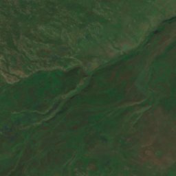
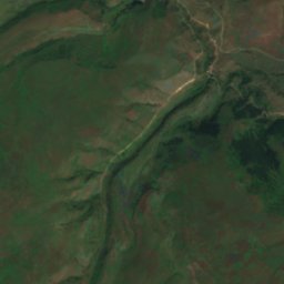
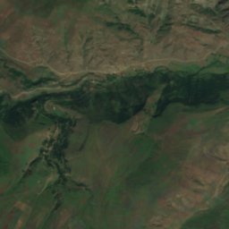
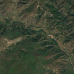
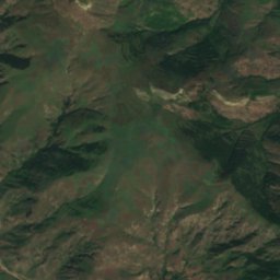
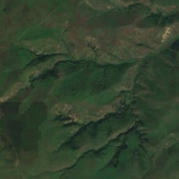
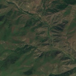
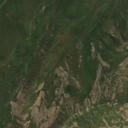
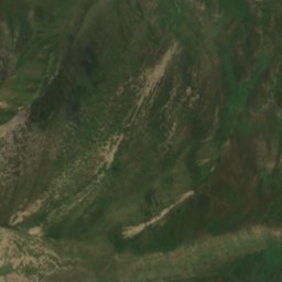
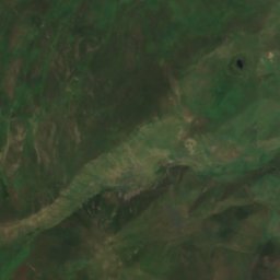
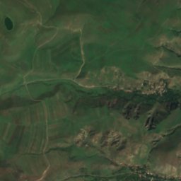
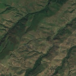
Satellite: Sentinel-2 cloudless 2016 by EOX IT Services GmbH · CC BY 4.0 · Contains modified Copernicus Sentinel data 2016
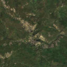
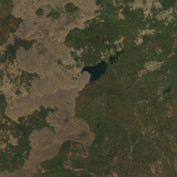
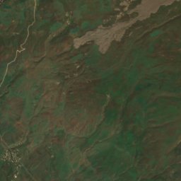
Cinligöl
Lake · 2,065 m
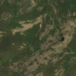
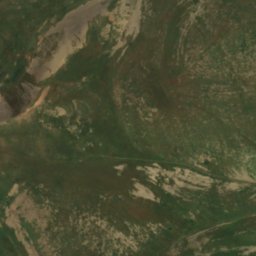
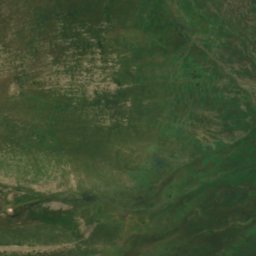
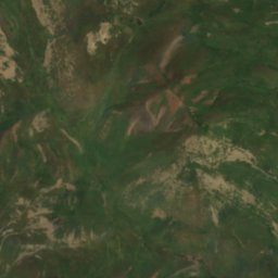
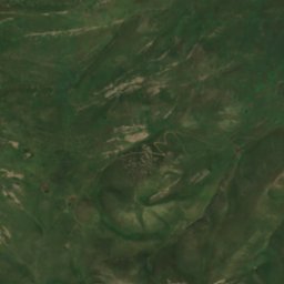
Satellite: Sentinel-2 cloudless 2016 by EOX IT Services GmbH · CC BY 4.0 · Contains modified Copernicus Sentinel data 2016
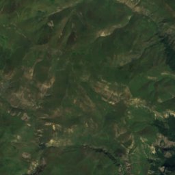
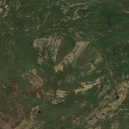
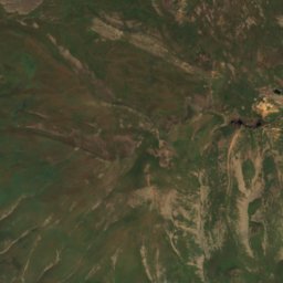
Ozero Bëyukgël'
Lake · 2,037 m
Mountains
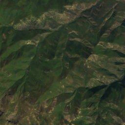
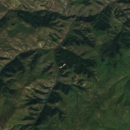
Satellite: Sentinel-2 cloudless 2016 by EOX IT Services GmbH · CC BY 4.0 · Contains modified Copernicus Sentinel data 2016
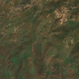
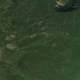
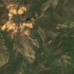
Dali-Dagh
3,632 m · Mikhtoken Range
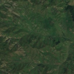
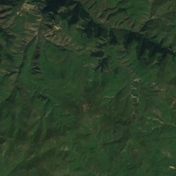
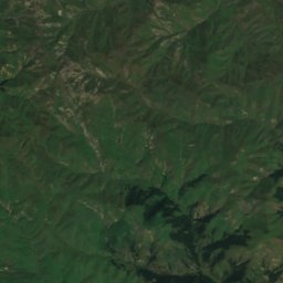
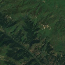
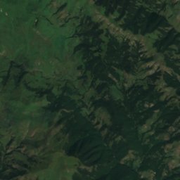
Satellite: Sentinel-2 cloudless 2016 by EOX IT Services GmbH · CC BY 4.0 · Contains modified Copernicus Sentinel data 2016
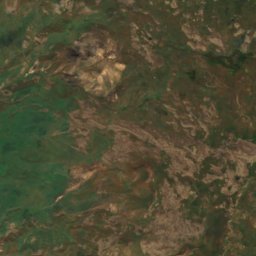
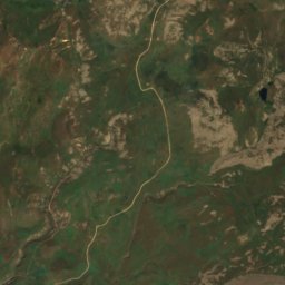
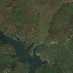
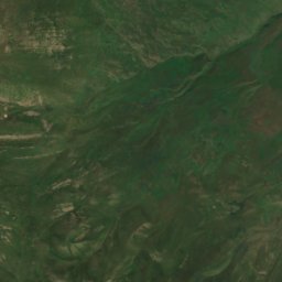
Mikhtoken Range
3,616 m · Lesser Caucasus
Heritage


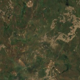
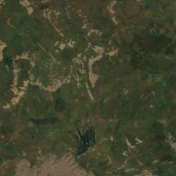
Satellite: Sentinel-2 cloudless 2016 by EOX IT Services GmbH · CC BY 4.0 · Contains modified Copernicus Sentinel data 2016
St. Astvatsatsin Church
cultural heritage monument in Azerbaijan · 1682