

Photo: Haneburger · Public domain · Wikimedia Commons
SchrankogelReport this photo · linked, not stored
SchrankogelSchrankogelReport this photo · linked, not stored
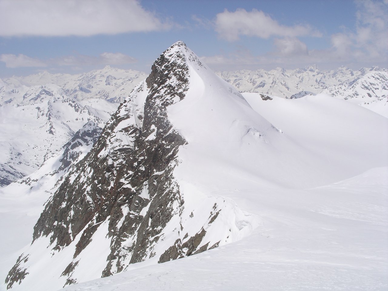
 Olperer

Photo: Svickova · CC BY-SA 3.0 · Wikimedia Commons
RuderhofspitzeReport this photo · linked, not stored
RuderhofspitzeRuderhofspitzeReport this photo · linked, not stored

Photo: Jörg Braukmann · CC BY-SA 4.0 · Wikimedia Commons
Wilder PfaffReport this photo · linked, not stored
Wilder PfaffWilder PfaffReport this photo · linked, not stored
Stubai Alps · Tyrol · AustriaSummit weather, forecast and climate
Blaser
2,241 mSnow likely Jan–Apr · Nov–Dec
Elevation2,241 mabove sea level
Prominence120 mindependent height
Isolation1.6 kmto a higher summit
Summit, Jul13°average high
47.11° N, 11.41° EElevation 2,241 mUTC+1 · Central European Standard Time
From the valley to the top
- Summit2,241 m
- Mid-mountain1,740 m
- Valley · Trins1,229 m
Freezing level in October: above the summit
iThe mountain
Blaser in brief
Blaser rises to 2,241 m in the Stubai Alps, Tyrol, Austria. Its topographic prominence — the height it stands above the lowest contour enclosing a higher summit — is 120 m.
At the summit, July is the mildest month with average highs of 13°, while nights fall below freezing in 7 months of the year. Daytime highs climb above zero from April to November.
The nearest town is Trins, 2.6 km to the S at 1,229 m.
iiForecast
Weather at three heights
Temperatures are adjusted to each height; summits are usually colder and windier than the valley forecast suggests.
Loading the latest forecast…
Loading the latest forecast…
Loading the latest forecast…
iiiSummit climate
The top of Blaser by month
Summit temperatures and precipitation
Climate normals for the summit area (~1 km grid), station-adjusted| Month | Jan | Feb | Mar | Apr | May | Jun | Jul | Aug | Sep | Oct | Nov | Dec |
|---|---|---|---|---|---|---|---|---|---|---|---|---|
| Average high | -3° | -4° | -1° | 2° | 6° | 11° | 13° | 13° | 9° | 5° | 0° | -3° |
| Average low | -11° | -9° | -7° | -4° | 0° | 4° | 6° | 6° | 3° | 0° | -5° | -10° |
| Precipitation | 57 mm | 53 mm | 73 mm | 86 mm | 132 mm | 171 mm | 200 mm | 190 mm | 122 mm | 104 mm | 94 mm | 72 mm |
| Cloud cover | 39% | 43% | 47% | 49% | 48% | 48% | 43% | 46% | 48% | 46% | 47% | 43% |
| Daylight | 8h 55 | 10h 18 | 11h 51 | 13h 35 | 15h 03 | 15h 53 | 15h 33 | 14h 16 | 12h 37 | 10h 56 | 9h 23 | 8h 32 |
| Month score | 39 | 38 | 31 | 26 | 18 | 22 | 35 | 34 | 18 | 23 | 25 | 33 |
Snow and freezing level
Average height of the 0 °C level from the summit normals (6.5 °C per km); snow months have a summit mean at or below +1 °C| Month | Jan | Feb | Mar | Apr | May | Jun | Jul | Aug | Sep | Oct | Nov | Dec |
|---|---|---|---|---|---|---|---|---|---|---|---|---|
| Freezing level | 1,150 m | 1,250 m | 1,650 m | 2,100 m | 2,750 m | 3,400 m | 3,700 m | 3,750 m | 3,100 m | 2,650 m | 1,900 m | 1,250 m |
| Summit | ❄ snow | ❄ snow | ❄ snow | ❄ snow | above 0 °C | above 0 °C | above 0 °C | above 0 °C | above 0 °C | above 0 °C | ❄ snow | ❄ snow |
ivTerrain
Blaser in 3D
vNeighbours
Mountains of AustriaPeaks nearby
| Mountain | Elevation | Prominence | Distance | July summit high |
|---|---|---|---|---|
| Schrankogel | 3,497 m | 990 m | 25 km W | 6° |
| Olperer | 3,476 m | 123 m | 20 km E | 6° |
| Ruderhofspitze | 3,474 m | 368 m | 22 km W | 6° |
| Wilder Pfaff | 3,456 m | 100 m | 24 km SW | 6° |
| Wilder Freiger | 3,418 m | 282 m | 23 km SW | 6° |
| Östliche Seespitze | 3,416 m | 185 m | 21 km W | 6° |
| Schrammacher | 3,410 m | 451 m | 20 km SE | 7° |
| Schrandele | 3,393 m | – | 24 km W | 6° |
viBase towns
Where to stay nearby

Photo: Ing. Richard Hilber · Public domain · Wikimedia CommonsReport this photo · linked, not stored
Trins
Tyrol · 2.6 km S
11°Oct high
13wet days
28score

Photo: Roman Klementschitz, Wien · CC BY-SA 3.0 · Wikimedia CommonsReport this photo · linked, not stored
Matrei am Brenner
Tyrol · 3.9 km NE
13°Oct high
13wet days
41score


Photo: Alexandra at lb.wikipedia · CC BY-SA 3.0 · Wikimedia CommonsReport this photo · linked, not stored
Steinach am Brenner
Tyrol · 4.9 km SE
13°Oct high
13wet days
39score
Around here
Trins and around
Photo: Ing. Richard Hilber · Public domain · Wikimedia CommonsReport this photo · linked, not stored
Trins
Tyrol · Austria
Jun–Augbest months
21°July high
1,229 maltitude
Nature


Mountains


Heritage

Photo: selbst fotografiert · Public domain · Wikimedia CommonsReport this photo · linked, not stored
Hl. Georg, Trins
Listed objects in Austria


