
Photo: Shiftchange at en.wikipedia · Public domain · Wikimedia Commons
Mount MitchellReport this photo · linked, not stored
Mount MitchellReport this photo · linked, not stored
 Mount Cordeaux
 Mount Greville

Photo: Mattinbgn · CC BY-SA 3.0 · Wikimedia Commons
Mount EdwardsReport this photo · linked, not stored
Mount EdwardsMount EdwardsReport this photo · linked, not stored
Queensland · AustraliaSummit weather, forecast and climate
Mount Mitchell
1,168 m
Elevation1,168 mabove sea level
Prominence–independent height
Isolation7.2 kmto a higher summit
Summit, Jul15°average high
28.07° S, 152.40° EElevation 1,168 mUTC+10 · Australian Eastern Standard Time
From the valley to the top
- Summit1,168 m
- Mid-mountain840 m
- Valley · Maryvale508 m
Freezing level in October: above the summit
iThe mountain
Mount Mitchell in brief
Mount Mitchell rises to 1,168 m, Queensland, Australia.
At the summit, January is the mildest month with average highs of 26°, while nights rarely fall below freezing.
The nearest town is Maryvale, 15 km to the W at 508 m.
Facts
- Elevation
- 1,168 m · 3,832 ft
- Region
- Queensland
- Country
- Australia
- Coordinates
- -28.0664, 152.4000
- Nearest airport
- Toowoomba Wellcamp Airport (WTB) · 82 km
iiForecast
Weather at three heights
Temperatures are adjusted to each height; summits are usually colder and windier than the valley forecast suggests.
Loading the latest forecast…
Loading the latest forecast…
Loading the latest forecast…
iiiSummit climate
The top of Mount Mitchell by month
Summit temperatures and precipitation
Climate normals for the summit area (~1 km grid), station-adjusted| Month | Jan | Feb | Mar | Apr | May | Jun | Jul | Aug | Sep | Oct | Nov | Dec |
|---|---|---|---|---|---|---|---|---|---|---|---|---|
| Average high | 26° | 25° | 23° | 21° | 18° | 15° | 15° | 16° | 20° | 22° | 24° | 25° |
| Average low | 16° | 16° | 14° | 12° | 9° | 6° | 4° | 5° | 8° | 10° | 12° | 15° |
| Precipitation | 125 mm | 139 mm | 96 mm | 66 mm | 62 mm | 48 mm | 46 mm | 34 mm | 40 mm | 87 mm | 114 mm | 148 mm |
| Cloud cover | 39% | 40% | 35% | 33% | 33% | 28% | 24% | 20% | 21% | 29% | 37% | 39% |
| Daylight | 13h 44 | 13h 04 | 12h 18 | 11h 26 | 10h 45 | 10h 22 | 10h 31 | 11h 06 | 11h 54 | 12h 43 | 13h 29 | 13h 54 |
| Month score | 59 | 63 | 72 | 81 | 80 | 71 | 70 | 81 | 89 | 76 | 66 | 62 |
Snow and freezing level
Average height of the 0 °C level from the summit normals (6.5 °C per km); snow months have a summit mean at or below +1 °C| Month | Jan | Feb | Mar | Apr | May | Jun | Jul | Aug | Sep | Oct | Nov | Dec |
|---|---|---|---|---|---|---|---|---|---|---|---|---|
| Freezing level | 4,400 m | 4,300 m | 4,050 m | 3,650 m | 3,200 m | 2,750 m | 2,600 m | 2,800 m | 3,300 m | 3,700 m | 3,950 m | 4,250 m |
| Summit | above 0 °C | above 0 °C | above 0 °C | above 0 °C | above 0 °C | above 0 °C | above 0 °C | above 0 °C | above 0 °C | above 0 °C | above 0 °C | above 0 °C |
ivTerrain
Mount Mitchell in 3D
vNeighbours
Mountains of AustraliaPeaks nearby
| Mountain | Elevation | Prominence | Distance | July summit high |
|---|---|---|---|---|
| Mount Superbus | 1,375 m | – | 18 km S | 13° |
| Mount Asplenium | 1,294 m | – | 9.8 km S | 13° |
| Wilsons Peak | 1,230 m | – | 22 km S | 13° |
| Spicers Peak | 1,205 m | – | 7.2 km W | 16° |
| Mount Cordeaux | 1,135 m | – | 1.8 km N | 16° |
| Mount Moon | 786 m | – | 16 km E | 16° |
| Mount Greville | 720 m | – | 10 km E | 17° |
| Mount Edwards | 634 m | – | 16 km E | 19° |


Around here
Maryvale and around
Nature
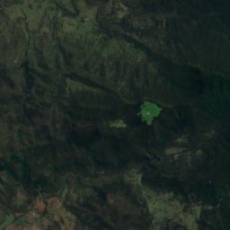
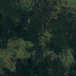
Satellite: Sentinel-2 cloudless 2016 by EOX IT Services GmbH · CC BY 4.0 · Contains modified Copernicus Sentinel data 2016
Main Range National Park
National park · 651 m
Mountains
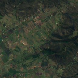
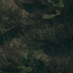
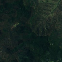
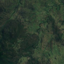
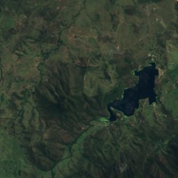
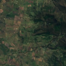
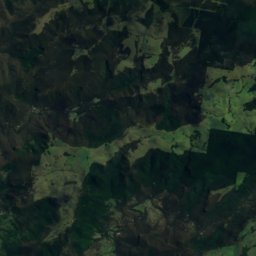
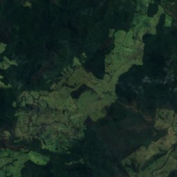
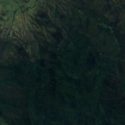
Satellite: Sentinel-2 cloudless 2016 by EOX IT Services GmbH · CC BY 4.0 · Contains modified Copernicus Sentinel data 2016
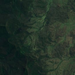
Mount Superbus
1,375 m · Scenic Rim
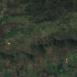
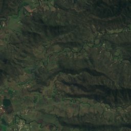
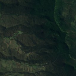
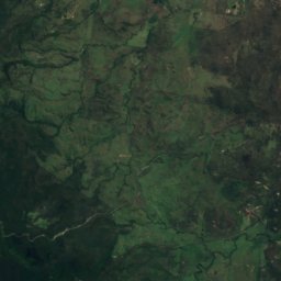
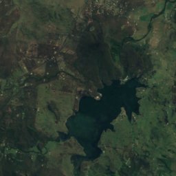
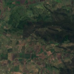
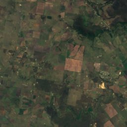
Satellite: Sentinel-2 cloudless 2016 by EOX IT Services GmbH · CC BY 4.0 · Contains modified Copernicus Sentinel data 2016
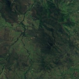
Mount Asplenium
1,294 m
Satellite: Sentinel-2 cloudless 2016 by EOX IT Services GmbH · CC BY 4.0 · Contains modified Copernicus Sentinel data 2016
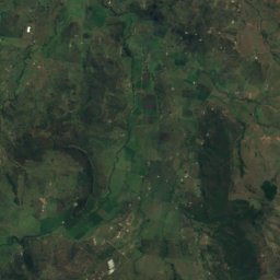
Wilsons Peak
1,230 m
Heritage
Satellite: Sentinel-2 cloudless 2016 by EOX IT Services GmbH · CC BY 4.0 · Contains modified Copernicus Sentinel data 2016
Yangan Masonic Hall
listed on the Queensland Heritage Register


Satellite: Sentinel-2 cloudless 2016 by EOX IT Services GmbH · CC BY 4.0 · Contains modified Copernicus Sentinel data 2016
Yangan School of Arts
listed on the Queensland Heritage Register