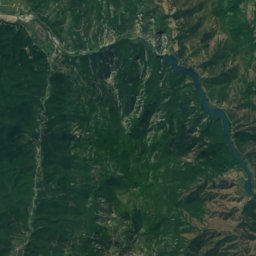
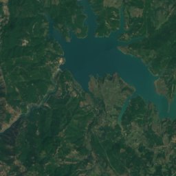
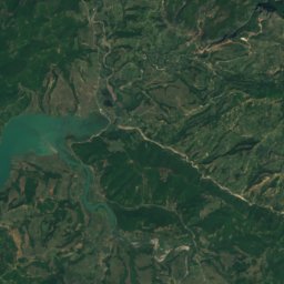
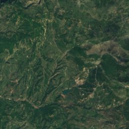
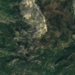
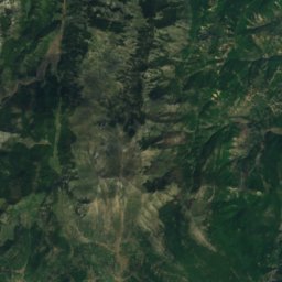
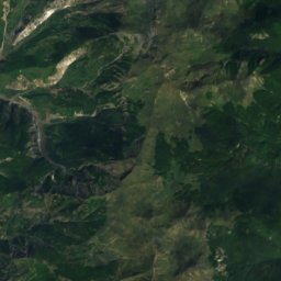
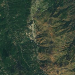
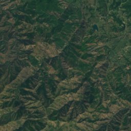
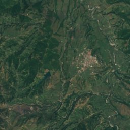
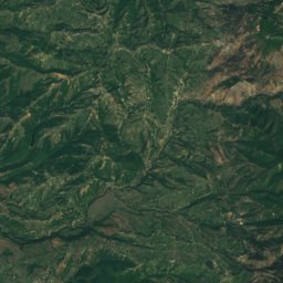
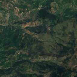
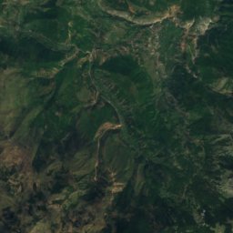
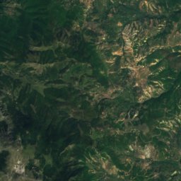
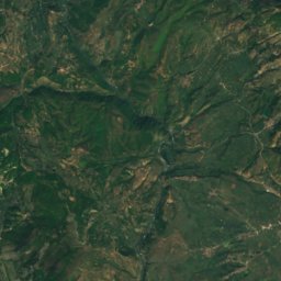
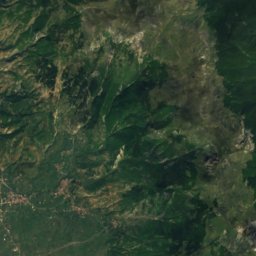
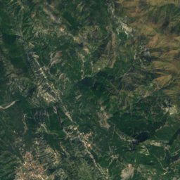
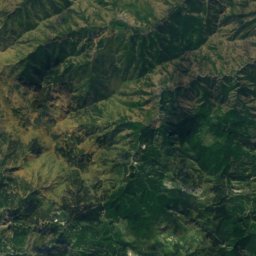
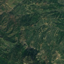
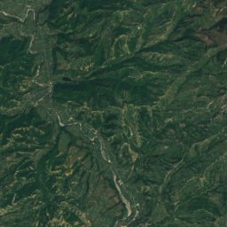
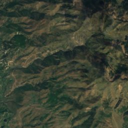
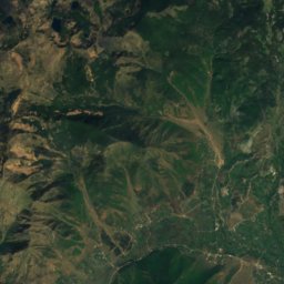
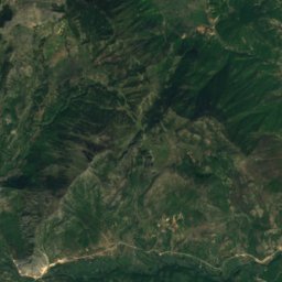
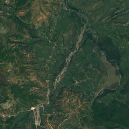
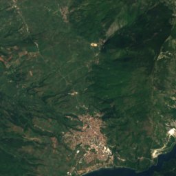
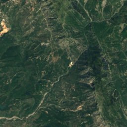
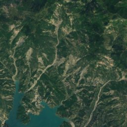
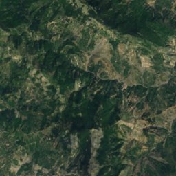
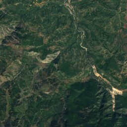
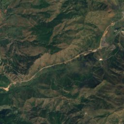
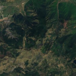
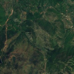
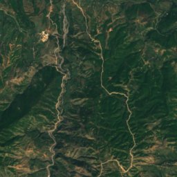
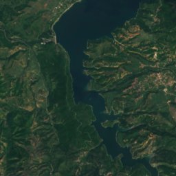
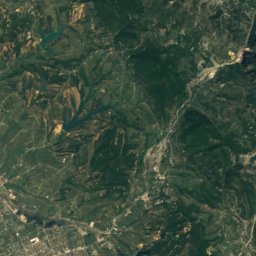
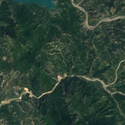
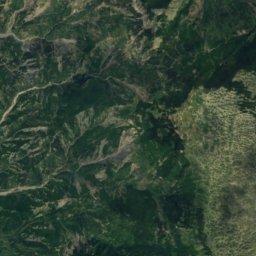
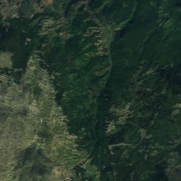
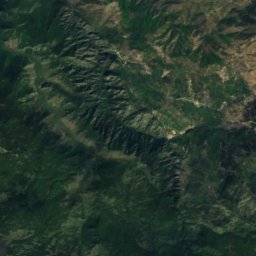
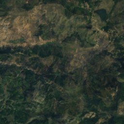
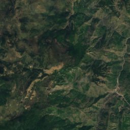
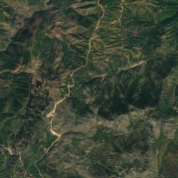
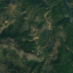
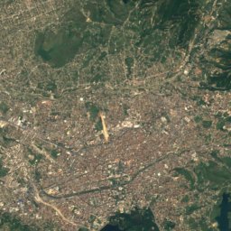
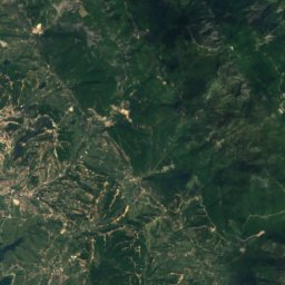
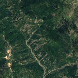
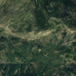
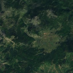
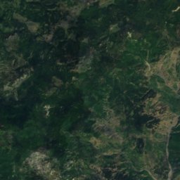
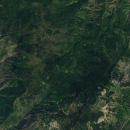
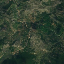
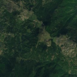
Satellite: Sentinel-2 cloudless 2016 by EOX IT Services GmbH · CC BY 4.0 · Contains modified Copernicus Sentinel data 2016
 Mali i Lopës

Photo: Fation Plaku · CC BY-SA 4.0 · Wikimedia Commons
Mali me GropaReport this photo · linked, not stored
Mali me GropaMali me GropaReport this photo · linked, not stored
Dibër County · AlbaniaSummit weather, forecast and climate
Mali i Ljepetes
1,623 mSnow likely Jan–Mar · Dec
Elevation1,623 mabove sea level
Prominence–independent height
Isolation4.3 kmto a higher summit
Summit, Jul20°average high
41.47° N, 20.22° EElevation 1,623 mUTC+2 · Central European Summer Time
From the valley to the top
- Summit1,623 m
- Mid-mountain1,200 m
- Valley · Bulqizë775 m
Freezing level in October: above the summit
iThe mountain
Mali i Ljepetes in brief
Mali i Ljepetes rises to 1,623 m, Dibër County, Albania.
At the summit, August is the mildest month with average highs of 20°, while nights fall below freezing in 6 months of the year.
The nearest town in the atlas is Bulqizë, 2.2 km to the N at 775 m.
Facts
- Elevation
- 1,623 m · 5,325 ft
- Region
- Dibër County
- Country
- Albania
- Coordinates
- 41.4717, 20.2197
- Nearest airport
- Tirana International Airport Mother Teresa (TIA) · 42 km
iiForecast
Weather at three heights
Temperatures are adjusted to each height; summits are usually colder and windier than the valley forecast suggests.
Loading the latest forecast…
Loading the latest forecast…
Loading the latest forecast…
iiiSummit climate
The top of Mali i Ljepetes by month
Summit temperatures and precipitation
Climate normals for the summit area (~1 km grid), station-adjusted| Month | Jan | Feb | Mar | Apr | May | Jun | Jul | Aug | Sep | Oct | Nov | Dec |
|---|---|---|---|---|---|---|---|---|---|---|---|---|
| Average high | 0° | 0° | 4° | 9° | 14° | 17° | 20° | 20° | 16° | 12° | 6° | 1° |
| Average low | -9° | -9° | -6° | -2° | 3° | 7° | 9° | 9° | 6° | 2° | -3° | -7° |
| Precipitation | 120 mm | 124 mm | 125 mm | 122 mm | 88 mm | 74 mm | 55 mm | 58 mm | 104 mm | 138 mm | 182 mm | 163 mm |
| Cloud cover | 38% | 38% | 39% | 40% | 32% | 20% | 12% | 12% | 22% | 31% | 37% | 42% |
| Daylight | 9h 30 | 10h 37 | 11h 53 | 13h 19 | 14h 30 | 15h 10 | 14h 54 | 13h 52 | 12h 31 | 11h 09 | 9h 53 | 9h 12 |
| Month score | 22 | 22 | 21 | 21 | 51 | 75 | 85 | 84 | 61 | 34 | 22 | 20 |
Snow and freezing level
Average height of the 0 °C level from the summit normals (6.5 °C per km); snow months have a summit mean at or below +1 °C| Month | Jan | Feb | Mar | Apr | May | Jun | Jul | Aug | Sep | Oct | Nov | Dec |
|---|---|---|---|---|---|---|---|---|---|---|---|---|
| Freezing level | 950 m | 950 m | 1,450 m | 2,100 m | 2,900 m | 3,450 m | 3,850 m | 3,900 m | 3,300 m | 2,650 m | 1,800 m | 1,150 m |
| Summit | ❄ snow | ❄ snow | ❄ snow | above 0 °C | above 0 °C | above 0 °C | above 0 °C | above 0 °C | above 0 °C | above 0 °C | above 0 °C | ❄ snow |
ivTerrain
Mali i Ljepetes in 3D
vNeighbours
Mountains of AlbaniaPeaks nearby
| Mountain | Elevation | Prominence | Distance | July summit high |
|---|---|---|---|---|
| Maja e Micekut | 2,084 m | – | 11 km N | 18° |
| Mali i Lopës | 2,020 m | – | 4.3 km E | 18° |
| Arithi | 1,987 m | – | 14 km NE | 18° |
| Maja e Plakthit | 1,936 m | – | 7.3 km N | 18° |
| Maja e Bataces | 1,900 m | – | 11 km N | 19° |
| Mali me Gropa | 1,848 m | – | 19 km SW | 19° |
| Mali i Balgjajt | 1,718 m | – | 12 km N | 19° |
| Maja e Vjervakut | 1,709 m | – | 8.9 km SE | 20° |
viBase towns
Where to stay nearby

Photo: The original uploader was Albinfo at German Wikipedia. · CC BY-SA 3.0 · Wikimedia CommonsReport this photo · linked, not stored
Bulqizë
Dibër County · 2.2 km N
17°Oct high
10wet days
71score

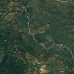
Satellite: Sentinel-2 cloudless 2016 by EOX IT Services GmbH · CC BY 4.0 · Contains modified Copernicus Sentinel data 2016
Fushë-Bulqizë
Dibër County · 7.6 km NE
18°Oct high
10wet days
74score

Around here
Bulqizë and around
Photo: The original uploader was Albinfo at German Wikipedia. · CC BY-SA 3.0 · Wikimedia CommonsReport this photo · linked, not stored
Bulqizë
Dibër County · Albania
Jul–Sepbest months
26°July high
775 maltitude
Nature


Mountains


Heritage





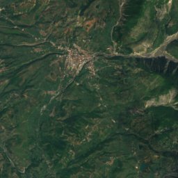
Satellite: Sentinel-2 cloudless 2016 by EOX IT Services GmbH · CC BY 4.0 · Contains modified Copernicus Sentinel data 2016
Teqe of Martanesh
Cultural Monument of Albania