

Photo: Hshuvaeva · CC BY-SA 3.0 · Wikimedia Commons
Mill at LobachsvilleReport this photo · linked, not stored
Mill at LobachsvilleMill at LobachsvilleReport this photo · linked, not stored

Photo: Doug Kerr from Albany, NY, United States · CC BY-SA 2.0 · Wikimedia Commons
Pleasantville BridgeReport this photo · linked, not stored
Pleasantville BridgePleasantville BridgeReport this photo · linked, not stored

Photo: Hshuvaeva · CC BY-SA 3.0 · Wikimedia Commons
Keim HomesteadReport this photo · linked, not stored
Keim HomesteadKeim HomesteadReport this photo · linked, not stored

Photo: Hshuvaeva · CC BY-SA 3.0 · Wikimedia Commons
Hartman Cider PressReport this photo · linked, not stored
Hartman Cider PressHartman Cider PressReport this photo · linked, not stored
watermillOley, Pennsylvania
Yoder Mill
National Register of Historic Places listed place
Typewatermill
Built–
Best monthsMay · Sep–Octweather in Oley
40.40° N, 75.72° WUTC−4 · Eastern Daylight Time
When to goOley · weather score
Best timeMay · Sep–Oct
October: high / low65° / 43°
iAbout
Yoder Mill in brief
Yoder Mill is a watermill in Oley, Pennsylvania, United States.
It holds the designation National Register of Historic Places listed place.
For a visit, the weather in Oley is best in May, September and October; in October afternoons average 65°.
Facts
- Type
- watermill
- Designation
- National Register of Historic Places listed place
- Nearest town
- Oley
- Region
- Pennsylvania
- Coordinates
- 40.39667, -75.72056
iiLocation
Where to find it
iiiWhen to visit
Climate guideWeather in Oley
Month score for sightseeing
Best May · Sep–Oct33
Jan
33
Feb
30
Mar
65
Apr
66
May
56
Jun
46
Jul
53
Aug
76
Sep
75
Oct
45
Nov
30
Dec
ivNearby
All monuments in the United StatesMore heritage close by
Photo: Doug Kerr from Albany, NY, United States · CC BY-SA 2.0 · Wikimedia CommonsReport this photo · linked, not stored
Pleasantville Bridge
1.6 mi SW
National Register of Historic Places listed place
Satellite: Sentinel-2 cloudless 2016 by EOX IT Services GmbH · CC BY 4.0 · Contains modified Copernicus Sentinel data 2016
Greisemer's Mill Bridge
2.5 mi S
National Register of Historic Places listed place
Around here
Oley and around

Nature
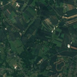
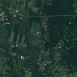
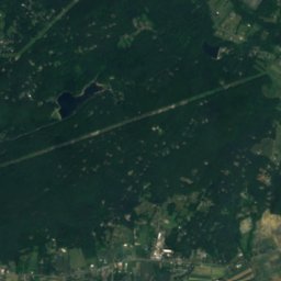
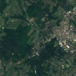
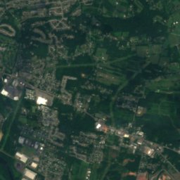
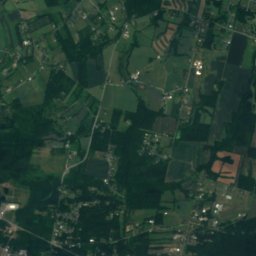
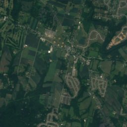
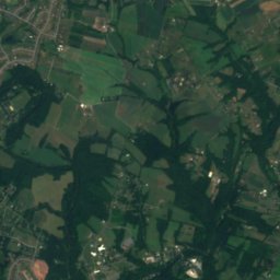
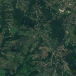
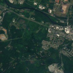
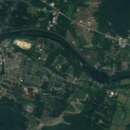
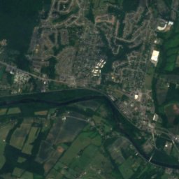
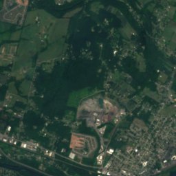
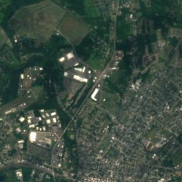
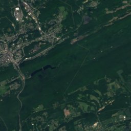
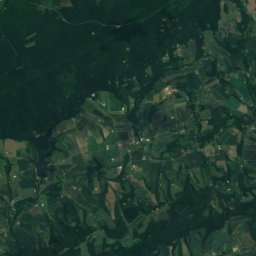
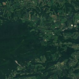
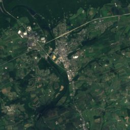
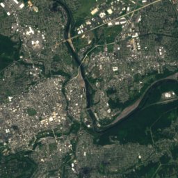
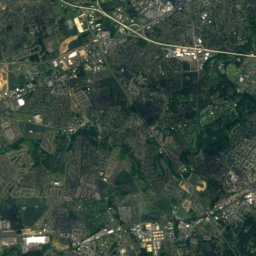
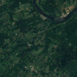
Satellite: Sentinel-2 cloudless 2016 by EOX IT Services GmbH · CC BY 4.0 · Contains modified Copernicus Sentinel data 2016
Manatawny Creek
River
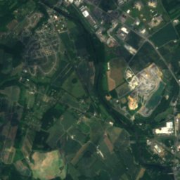
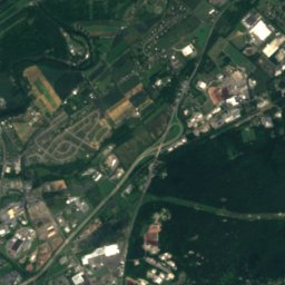
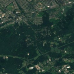
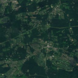
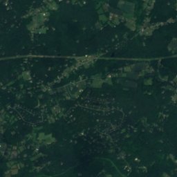
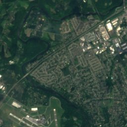
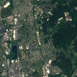
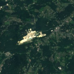
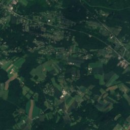
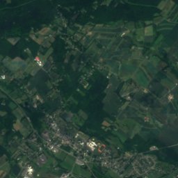
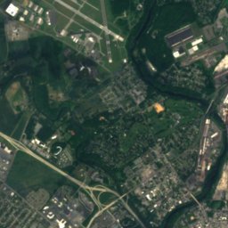
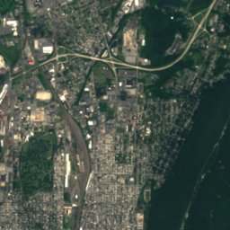
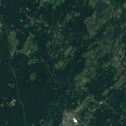
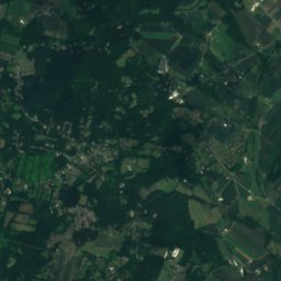
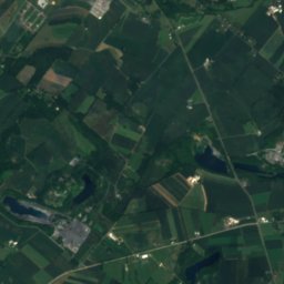
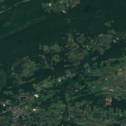
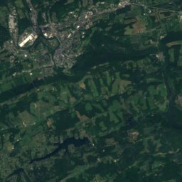
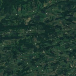
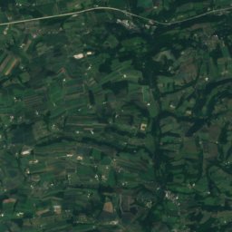
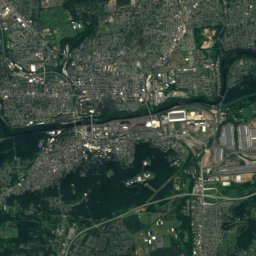
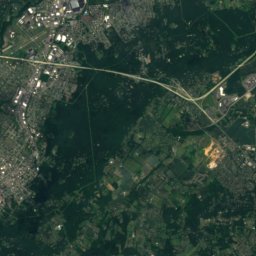
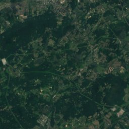
Satellite: Sentinel-2 cloudless 2016 by EOX IT Services GmbH · CC BY 4.0 · Contains modified Copernicus Sentinel data 2016
Antietam Creek, Pennsylvania
River
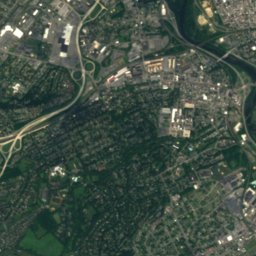
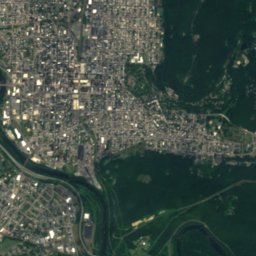
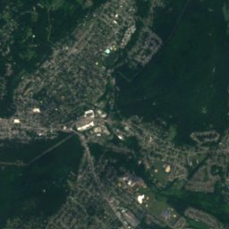
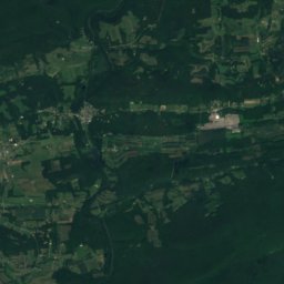
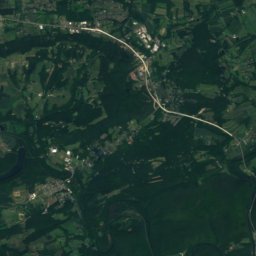
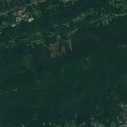
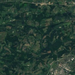
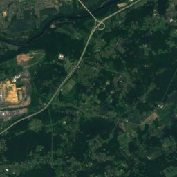
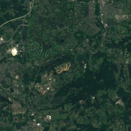
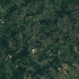
Satellite: Sentinel-2 cloudless 2016 by EOX IT Services GmbH · CC BY 4.0 · Contains modified Copernicus Sentinel data 2016
Antietam Lake
Lake
Mountains
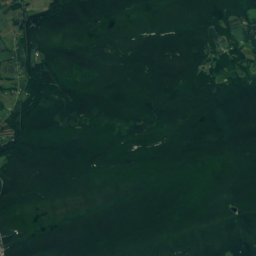
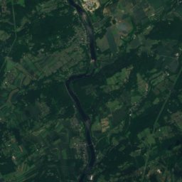
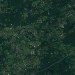
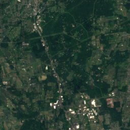
Satellite: Sentinel-2 cloudless 2016 by EOX IT Services GmbH · CC BY 4.0 · Contains modified Copernicus Sentinel data 2016
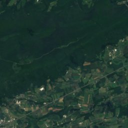
The Pinnacle
1,634 ft · Blue Mountain

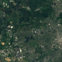
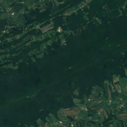
Satellite: Sentinel-2 cloudless 2016 by EOX IT Services GmbH · CC BY 4.0 · Contains modified Copernicus Sentinel data 2016
The Lookout
906 ft
Heritage


Photo: JERRYE & ROY KLOTZ, M.D. · CC BY-SA 4.0 · Wikimedia CommonsReport this photo · linked, not stored
Hotel Abraham Lincoln
National Register of Historic Places listed place · 1930


