
Photo: Ynsalh · CC BY-SA 4.0 · Wikimedia Commons
Turkey Point LightReport this photo · linked, not stored
Turkey Point LightReport this photo · linked, not stored
lighthouseBetterton, Maryland
Turkey Point Light
National Register of Historic Places listed placeBuilt 1833
Typelighthouse
Built1833
Best monthsApr · Sep–Octweather in Betterton
39.45° N, 76.01° WUTC−4 · Eastern Daylight Time
Standing for193 years
built 1833today 2026
When to goBetterton · weather score
Best timeApr · Sep–Oct
October: high / low67° / 49°
iAbout
Turkey Point Light in brief
Turkey Point Light is a lighthouse in Betterton, Maryland, United States.
It holds the designation National Register of Historic Places listed place.
The lighthouse dates from 1833.
For a visit, the weather in Betterton is best in April, September and October; in October afternoons average 67°.
iiLocation
Where to find it
iiiWhen to visit
Climate guideWeather in Betterton
Month score for sightseeing
Best Apr · Sep–Oct34
Jan
34
Feb
36
Mar
71
Apr
69
May
57
Jun
46
Jul
53
Aug
74
Sep
78
Oct
53
Nov
32
Dec
Around here
Betterton and around

Photo: JERRYE & ROY KLOTZ, M.D. · CC BY-SA 4.0 · Wikimedia CommonsReport this photo · linked, not stored
Betterton
Maryland · United States
Apr · Sep–Octbest months
86°July high
72 ftaltitude
Nature
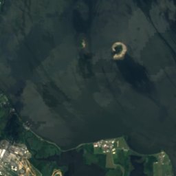

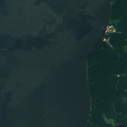
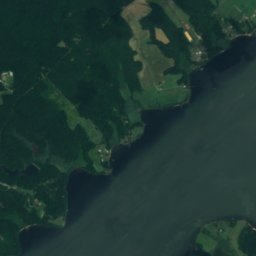
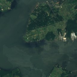
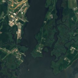
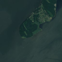
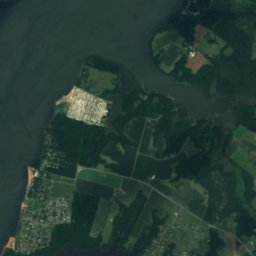
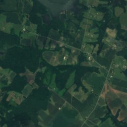


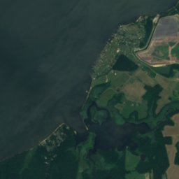
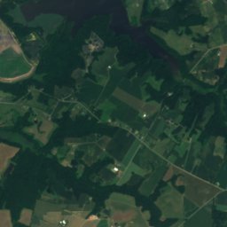
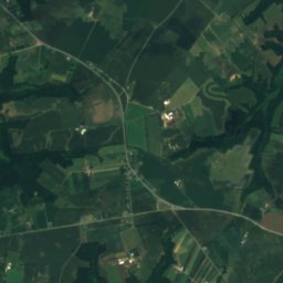
Satellite: Sentinel-2 cloudless 2016 by EOX IT Services GmbH · CC BY 4.0 · Contains modified Copernicus Sentinel data 2016
Elk River, Maryland
River
Satellite: Sentinel-2 cloudless 2016 by EOX IT Services GmbH · CC BY 4.0 · Contains modified Copernicus Sentinel data 2016
Pearce Creek Disposal Area Lake
Lake · 16 ft


Heritage


St. Stephen's Episcopal Church, Cecilton
National Register of Historic Places listed place

Photo: JERRYE & ROY KLOTZ, M.D. · CC BY-SA 4.0 · Wikimedia CommonsReport this photo · linked, not stored

Hopeful Unity
National Register of Historic Places listed place · 1761

Photo: JERRYE & ROY KLOTZ. M.D. · CC BY-SA 4.0 · Wikimedia CommonsReport this photo · linked, not stored

Thornton
National Register of Historic Places listed place