Satellite: Sentinel-2 cloudless 2016 by EOX IT Services GmbH · CC BY 4.0 · Contains modified Copernicus Sentinel data 2016

Photo: Bobak Ha'Eri · CC BY 3.0 · Wikimedia Commons
Cesar E. Chavez National MonumentReport this photo · linked, not stored
Cesar E. Chavez National MonumentCesar E. Chavez National MonumentReport this photo · linked, not stored
spiralKeene, California
Tehachapi Loop
Historic Civil Engineering LandmarkCalifornia Historical Landmark
Typespiral
Built–
Best monthsApr–May · Octweather in Keene
35.20° N, 118.54° WUTC−7 · Pacific Daylight Time
When to goKeene · weather score
Best timeApr–May · Oct
October: high / low75° / 46°
iAbout
Tehachapi Loop in brief
Tehachapi Loop is a spiral in Keene, California, United States.
It holds the designations Historic Civil Engineering Landmark and California Historical Landmark.
For a visit, the weather in Keene is best in April, May and October; in October afternoons average 75°.
Facts
- Type
- spiral
- Designation
- Historic Civil Engineering Landmark
- California Historical Landmark
- Nearest town
- Keene
- Region
- California
- Coordinates
- 35.20083, -118.53694
iiLocation
Where to find it
iiiWhen to visit
Climate guideWeather in Keene
Month score for sightseeing
Best Apr–May · Oct65
Jan
68
Feb
83
Mar
91
Apr
95
May
85
Jun
68
Jul
68
Aug
80
Sep
94
Oct
89
Nov
60
Dec
ivNearby
All monuments in the United StatesMore heritage close by
Cesar E. Chavez National Monument
2.3 mi NW
National Historic Landmark
Around here
Keene and around
Nature
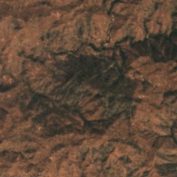
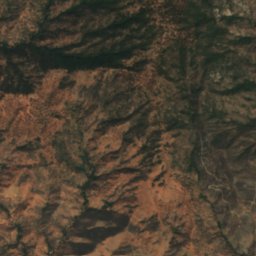
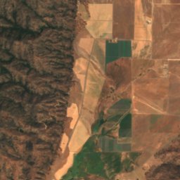
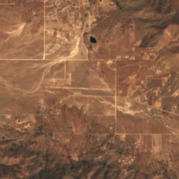
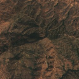
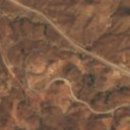
Satellite: Sentinel-2 cloudless 2016 by EOX IT Services GmbH · CC BY 4.0 · Contains modified Copernicus Sentinel data 2016
Julia Lake, California
Lake
Mountains
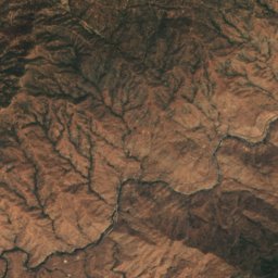
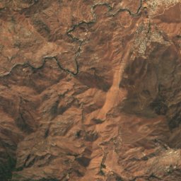
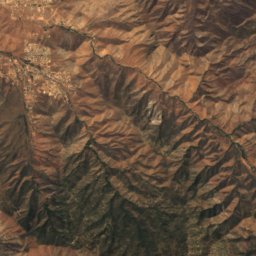
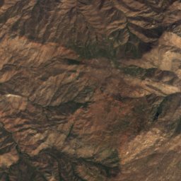
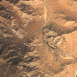
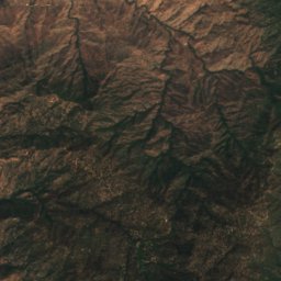
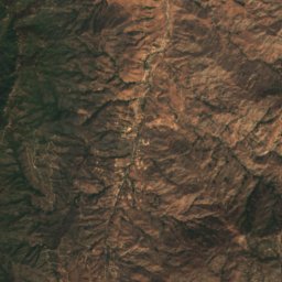
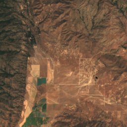
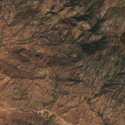
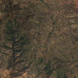
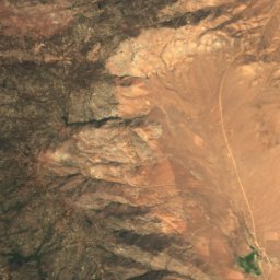
Satellite: Sentinel-2 cloudless 2016 by EOX IT Services GmbH · CC BY 4.0 · Contains modified Copernicus Sentinel data 2016
Brown Peak (Kern County, California)
8,095 ft · Piute Mountains
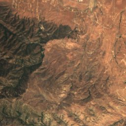
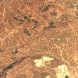
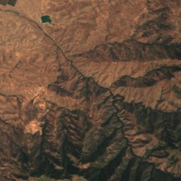
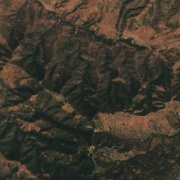
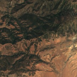
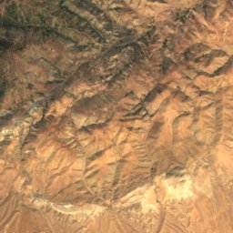
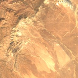
Satellite: Sentinel-2 cloudless 2016 by EOX IT Services GmbH · CC BY 4.0 · Contains modified Copernicus Sentinel data 2016
Double Mountain
7,993 ft · Tehachapi Mountains
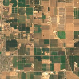
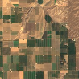
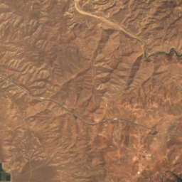
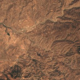
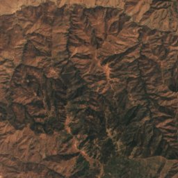
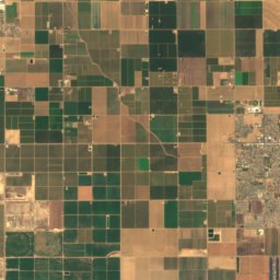
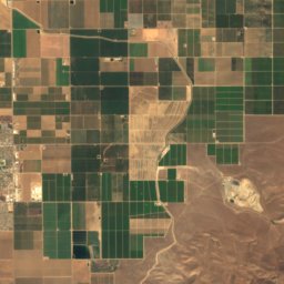
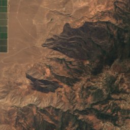
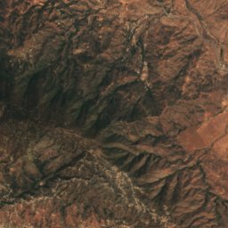
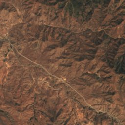
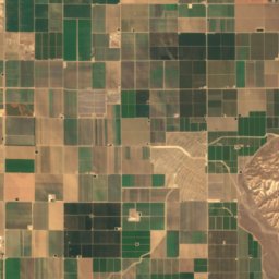
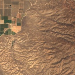
Satellite: Sentinel-2 cloudless 2016 by EOX IT Services GmbH · CC BY 4.0 · Contains modified Copernicus Sentinel data 2016
Bear Mountain (Kern County, California)
6,916 ft · Tehachapi Mountains
Heritage
Satellite: Sentinel-2 cloudless 2016 by EOX IT Services GmbH · CC BY 4.0 · Contains modified Copernicus Sentinel data 2016
Cesar E. Chavez National Monument
National Historic Landmark · 2012


Tehachapi Railroad Depot
National Register of Historic Places listed place