






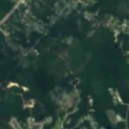



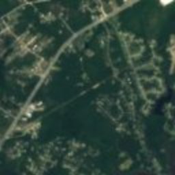





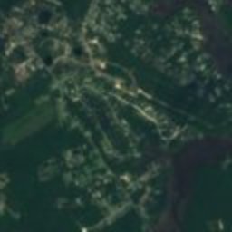

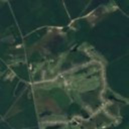
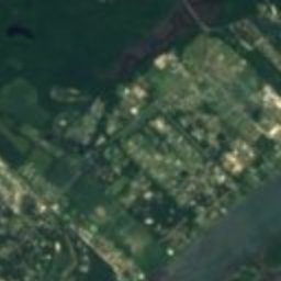



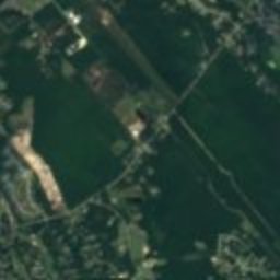



Satellite: Sentinel-2 cloudless 2016 by EOX IT Services GmbH · CC BY 4.0 · Contains modified Copernicus Sentinel data 2016
buildingSurf City, North Carolina
Sloop Point
National Register of Historic Places listed place
Typebuilding
Built–
Best monthsApr · Oct–Novweather in Surf City
34.42° N, 77.60° WUTC−4 · Eastern Daylight Time
When to goSurf City · weather score
Best timeApr · Oct–Nov
October: high / low74° / 56°
iAbout
Sloop Point in brief
Sloop Point is a building in Surf City, North Carolina, United States.
It holds the designation National Register of Historic Places listed place.
For a visit, the weather in Surf City is best in April, October and November; in October afternoons average 74°.
Facts
- Type
- building
- Designation
- National Register of Historic Places listed place
- Nearest town
- Surf City
- Region
- North Carolina
- Coordinates
- 34.41611, -77.59861
iiLocation
Where to find it
iiiWhen to visit
Climate guideWeather in Surf City
Month score for sightseeing
Best Apr · Oct–Nov49
Jan
53
Feb
70
Mar
77
Apr
68
May
50
Jun
41
Jul
43
Aug
54
Sep
77
Oct
79
Nov
59
Dec
ivNearby
All monuments in the United StatesMore heritage close by

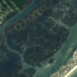
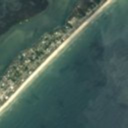


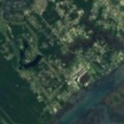
Satellite: Sentinel-2 cloudless 2016 by EOX IT Services GmbH · CC BY 4.0 · Contains modified Copernicus Sentinel data 2016
US Naval Ordnance Testing Facility Observation Tower No. 2
2.5 mi S
National Register of Historic Places listed place
Around here
Surf City and around

Nature

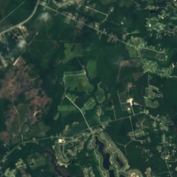
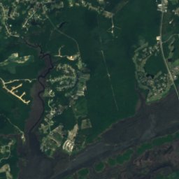
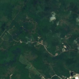
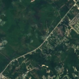
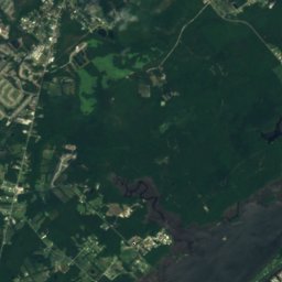
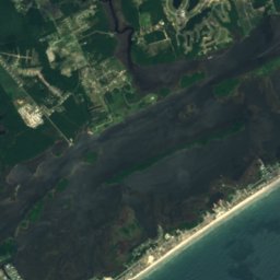
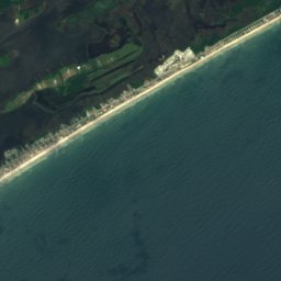
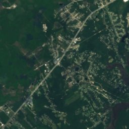
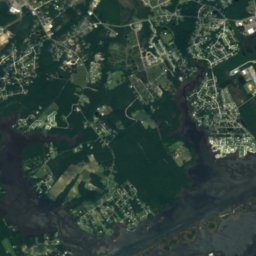
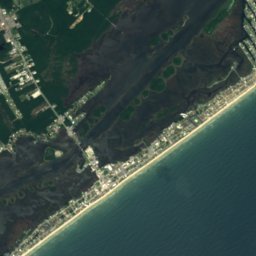

Satellite: Sentinel-2 cloudless 2016 by EOX IT Services GmbH · CC BY 4.0 · Contains modified Copernicus Sentinel data 2016
Yow-Williams Pond
Lake


Heritage



Satellite: Sentinel-2 cloudless 2016 by EOX IT Services GmbH · CC BY 4.0 · Contains modified Copernicus Sentinel data 2016
Belvidere Plantation House
National Register of Historic Places listed place




Satellite: Sentinel-2 cloudless 2016 by EOX IT Services GmbH · CC BY 4.0 · Contains modified Copernicus Sentinel data 2016
US Naval Ordnance Testing Facility Observation Tower No. 2
National Register of Historic Places listed place




Satellite: Sentinel-2 cloudless 2016 by EOX IT Services GmbH · CC BY 4.0 · Contains modified Copernicus Sentinel data 2016
US Naval Ordnance Testing Facility Assembly Building
National Register of Historic Places listed place