

Photo: Nyttend · Public domain · Wikimedia Commons
Hays Creek MillReport this photo · linked, not stored
Hays Creek MillHays Creek MillReport this photo · linked, not stored

Photo: Nyttend · Public domain · Wikimedia Commons
Mulberry Grove, SpottswoodReport this photo · linked, not stored
Mulberry Grove, SpottswoodMulberry Grove, SpottswoodReport this photo · linked, not stored

Photo: Nyttend · Public domain · Wikimedia Commons
New Providence Presbyterian Church (Brownsburg, Virginia)Report this photo · linked, not stored
New Providence Presbyterian Church (Brownsburg, Virginia)New Providence Presbyterian Church (Brownsburg, Virginia)Report this photo · linked, not stored

Photo: Morgan Riley · CC BY 3.0 · Wikimedia Commons
Kennedy-Wade MillReport this photo · linked, not stored
Kennedy-Wade MillKennedy-Wade MillReport this photo · linked, not stored
buildingSpottswood, Virginia
Level Loop
Virginia Historic LandmarkNational Register of Historic Places listed place
TypebuildingFederal
Built–
Best monthsApr · Sep–Octweather in Spottswood
37.93° N, 79.33° WUTC−4 · Eastern Daylight Time
When to goSpottswood · weather score
Best timeApr · Sep–Oct
October: high / low66° / 42°
iAbout
Level Loop in brief
Level Loop is a building in Spottswood, Virginia, United States.
It holds the designations Virginia Historic Landmark and National Register of Historic Places listed place.
The building is built in the Federal style.
For a visit, the weather in Spottswood is best in April, September and October; in October afternoons average 66°.
Facts
- Type
- building
- Designation
- Virginia Historic Landmark
- National Register of Historic Places listed place
- Style
- Federal
- Nearest town
- Spottswood
- Region
- Virginia
- Coordinates
- 37.93250, -79.33500
iiLocation
Where to find it
iiiWhen to visit
Climate guideWeather in Spottswood
Month score for sightseeing
Best Apr · Sep–Oct35
Jan
34
Feb
42
Mar
72
Apr
63
May
58
Jun
50
Jul
54
Aug
74
Sep
80
Oct
53
Nov
34
Dec
ivNearby
All monuments in the United StatesMore heritage close by
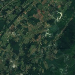
Satellite: Sentinel-2 cloudless 2016 by EOX IT Services GmbH · CC BY 4.0 · Contains modified Copernicus Sentinel data 2016
Brownsburg Historic District
0.9 mi E
National Register of Historic Places listed place
New Providence Presbyterian Church (Brownsburg, Virginia)
2.2 mi NE
Virginia Historic Landmark
Around here
Spottswood and around

Nature
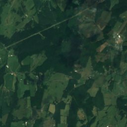
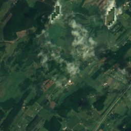
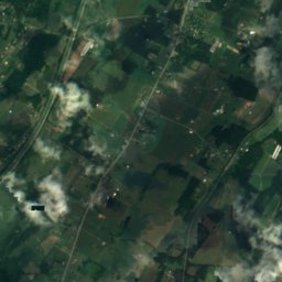
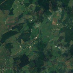
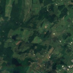
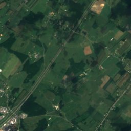
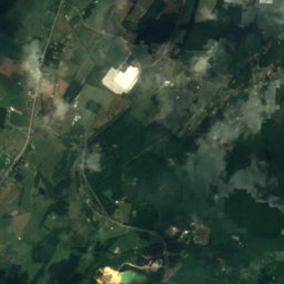
Satellite: Sentinel-2 cloudless 2016 by EOX IT Services GmbH · CC BY 4.0 · Contains modified Copernicus Sentinel data 2016
Saint Marys River
River


South River (South Fork Shenandoah River tributary)
River
Mountains


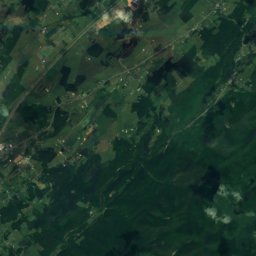
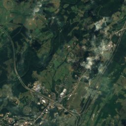
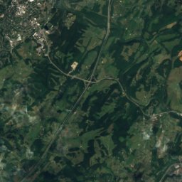
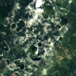
Satellite: Sentinel-2 cloudless 2016 by EOX IT Services GmbH · CC BY 4.0 · Contains modified Copernicus Sentinel data 2016
Elk Pond Mountain
4,034 ft · Blue Ridge Mountains
Heritage

James Alexander House
National Register of Historic Places listed place


