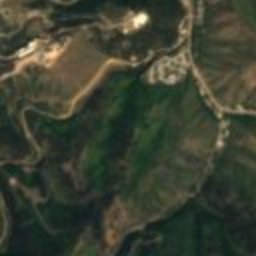
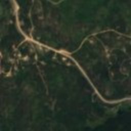
Satellite: Sentinel-2 cloudless 2016 by EOX IT Services GmbH · CC BY 4.0 · Contains modified Copernicus Sentinel data 2016

Photo: JERRYE & ROY KLOTZ MD · CC BY-SA 3.0 · Wikimedia Commons
Old Finnish Lutheran ChurchReport this photo · linked, not stored
Old Finnish Lutheran ChurchOld Finnish Lutheran ChurchReport this photo · linked, not stored
city in the United StatesLead, South Dakota
Lead
National Register of Historic Places listed placeBuilt 1876
Typecity in the United States
Built1876
Best monthsJun · Aug–Sepweather in Lead
44.35° N, 103.77° WUTC−6 · Mountain Daylight Time
Standing for150 years
built 1876today 2026
When to goLead · weather score
Best timeJun · Aug–Sep
October: high / low57° / 33°
iAbout
Lead in brief
Lead is a city in the united states in Lead, South Dakota, United States.
It holds the designation National Register of Historic Places listed place.
The city in the united states dates from 1876.
For a visit, the weather in Lead is best in June, August and September; in October afternoons average 57°.
Facts
- Type
- city in the United States
- Designation
- National Register of Historic Places listed place
- Built
- 1876
- Nearest town
- Lead
- Region
- South Dakota
- Coordinates
- 44.35083, -103.76583
iiLocation
Where to find it
iiiWhen to visit
Climate guideWeather in Lead
Month score for sightseeing
Best Jun · Aug–Sep46
Jan
44
Feb
37
Mar
36
Apr
58
May
69
Jun
61
Jul
69
Aug
84
Sep
60
Oct
48
Nov
47
Dec
ivNearby
All monuments in the United StatesMore heritage close by
Photo: JERRYE & ROY KLOTZ MD · CC BY-SA 3.0 · Wikimedia CommonsReport this photo · linked, not stored
Old Finnish Lutheran Church
0.1 mi NE
National Register of Historic Places listed place
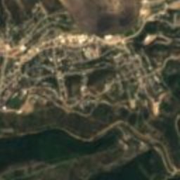
Satellite: Sentinel-2 cloudless 2016 by EOX IT Services GmbH · CC BY 4.0 · Contains modified Copernicus Sentinel data 2016
St. Lawrence O'Toole Catholic Church
1.3 mi N
National Register of Historic Places listed place
Around here
Lead and around
Photo: JERRYE & ROY KLOTZ MD · CC BY-SA 3.0 · Wikimedia CommonsReport this photo · linked, not stored
Lead
South Dakota · United States
Jun · Aug–Sepbest months
81°July high
5,213 ftaltitude
Nature
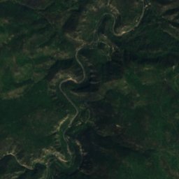
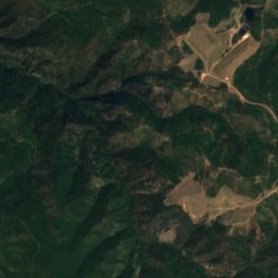
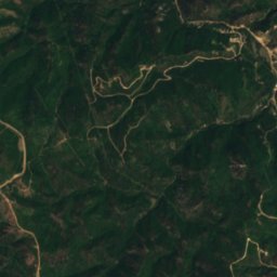
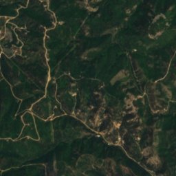
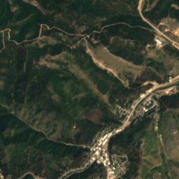
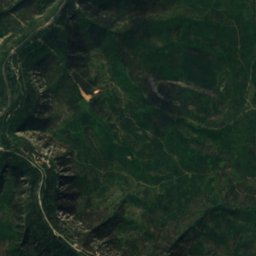
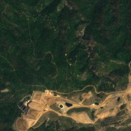
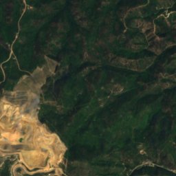
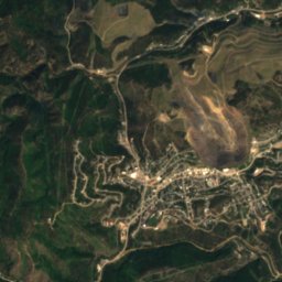
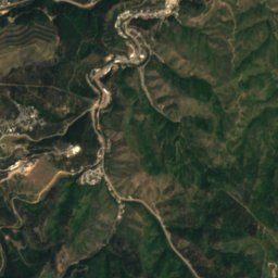
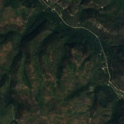
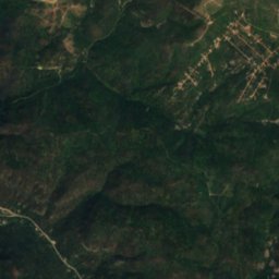
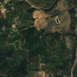
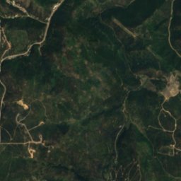
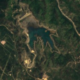
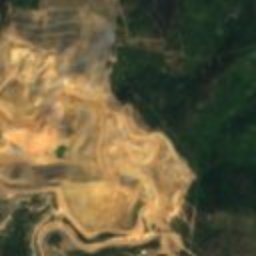
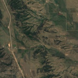
Satellite: Sentinel-2 cloudless 2016 by EOX IT Services GmbH · CC BY 4.0 · Contains modified Copernicus Sentinel data 2016
Fantail Creek
River
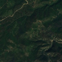
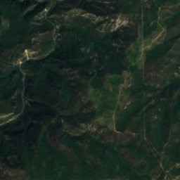
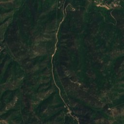
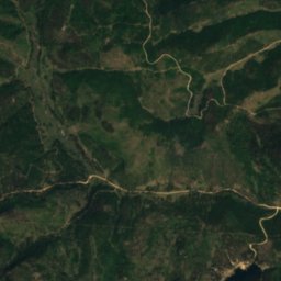
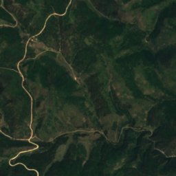
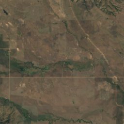
Satellite: Sentinel-2 cloudless 2016 by EOX IT Services GmbH · CC BY 4.0 · Contains modified Copernicus Sentinel data 2016
Cole Creek, South Dakota
River
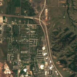
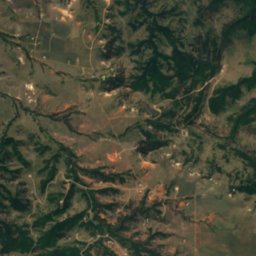
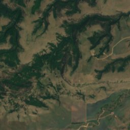
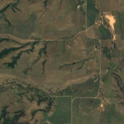
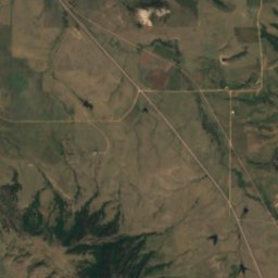
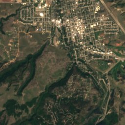
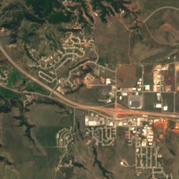
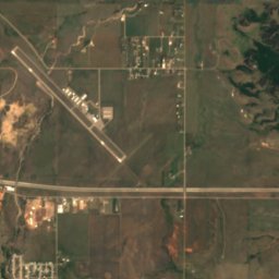
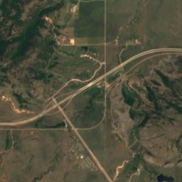
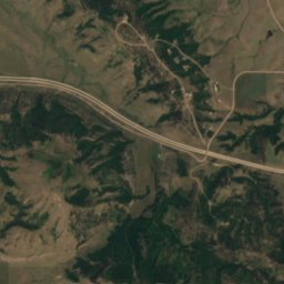
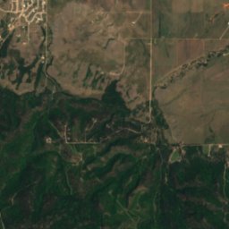
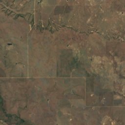
Satellite: Sentinel-2 cloudless 2016 by EOX IT Services GmbH · CC BY 4.0 · Contains modified Copernicus Sentinel data 2016
Centennial Prairie
Lake
Mountains

Photo: U.S. Department of Agriculture · CC BY 2.0 · Wikimedia CommonsReport this photo · linked, not stored
Mount Theodore Roosevelt
5,689 ft · Black Hills
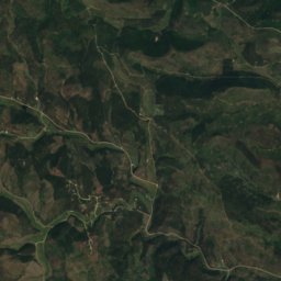
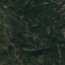
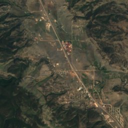
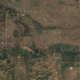
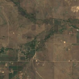
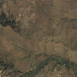
Satellite: Sentinel-2 cloudless 2016 by EOX IT Services GmbH · CC BY 4.0 · Contains modified Copernicus Sentinel data 2016
Piedmont Butte
3,885 ft
Heritage
Satellite: Sentinel-2 cloudless 2016 by EOX IT Services GmbH · CC BY 4.0 · Contains modified Copernicus Sentinel data 2016
Old Finnish Lutheran Church
National Register of Historic Places listed place
Satellite: Sentinel-2 cloudless 2016 by EOX IT Services GmbH · CC BY 4.0 · Contains modified Copernicus Sentinel data 2016
St. Lawrence O'Toole Catholic Church
National Register of Historic Places listed place
Satellite: Sentinel-2 cloudless 2016 by EOX IT Services GmbH · CC BY 4.0 · Contains modified Copernicus Sentinel data 2016
Mount Theodore Roosevelt Monument
National Register of Historic Places listed place · 1919
Museums


Satellite: Sentinel-2 cloudless 2016 by EOX IT Services GmbH · CC BY 4.0 · Contains modified Copernicus Sentinel data 2016
Adams Museum & House
1930